10 US Cities Most Prone To Sea-Level Rise
On a clear, rainless afternoon in Miami Beach, water sometimes wells up through the storm drains and spreads across the streets anyway. Locals have a name for it: sunny-day flooding. It is one of the most visible signs that sea levels along the US coast are not rising in some distant, abstract way but are already reshaping daily life. Globally, the ocean has climbed about 4 inches (10 centimeters) since 1993, and the pace at which it is rising has more than doubled over that same stretch. The world's ice is the reason. Greenland's ice sheet alone holds enough frozen water to raise global seas by about 23 feet (7 meters) were it to melt completely, and right now it is losing mass faster than Antarctica, whose own yearly ice loss has close to quadrupled since the early 1990s.
So how much trouble is the US coastline in? A federal task force led by NOAA projects that American sea levels could rise roughly a foot (0.3 meters) by 2050, about as much in the next three decades as they gained over the entire last century. By 2100 the range runs from around a foot on the most optimistic path to as much as 6 feet if the great ice sheets begin to collapse. No state has more to lose than Florida, which is flat, low, and built on porous limestone that seawater seeps straight through. Back in 2017, the research group Climate Central mapped the US cities with the most people living on low, flood-prone land. Nine of the ten were in Florida. Here they are, along with the single northern outlier that made the cut.
New York

Start with the outlier. New York might not leap to mind alongside South Florida, but the numbers are sobering. According to the state's Department of Environmental Conservation, the sea around New York has risen at least a foot since 1900, and the state's high-end projections put it as much as 75 inches, over 6 feet, higher by 2100. For a metro area of more than 8 million people, that is no abstraction. Rising water eats away at beaches and bluffs, pushes saltwater into freshwater aquifers, and strains the dense tangle of sewage, transit, power, and communication lines that a coastal city depends on. Superstorm Sandy gave a preview in 2012, when surge flooded subway tunnels and cut power across much of Lower Manhattan.
Miami

Miami is the poster child for American sea-level risk. Built on limestone barely a few feet above the water, the city cannot simply wall the ocean out, because it seeps up from below. Under the regional climate compact that South Florida governments use for planning, seas around Miami are projected to sit 10 to 17 inches higher than 2000 levels by 2040, and the water is already climbing by roughly an inch every three years. About a quarter of Miami's homes stand on land now considered at risk. The city keeps raising luxury towers along the waterfront regardless, a bet that engineering, and money, can outrun the tide.
Miami Beach

If Miami is the poster child, Miami Beach is where the future is arriving first. This barrier-island city has become a global case study in adaptation, pouring hundreds of millions of dollars into raising roads, installing enormous pumps, and rebuilding seawalls. The reason is blunt: sunny-day tidal flooding here has jumped more than 400 percent since 2006. During the autumn king tides, the highest tides of the year, seawater routinely bubbles up through the drains and turns streets into shallow canals under a cloudless sky. Nowhere else in the country offers a clearer window into what a few more inches of ocean actually looks like.
Fort Lauderdale

Fort Lauderdale earned its nickname, the Venice of America, from the canals threading through it, which are wonderful for boating and considerably less wonderful when the sea climbs. Every one of those channels is a ready-made path for water to reach deep inland. The largest city in Broward County, with roughly 185,000 residents, Fort Lauderdale sits low and flat, and on higher-end projections planners expect well over a foot of additional sea rise in the coming decades. High tides have already overtopped seawalls and swamped neighborhoods along its waterways.
Hialeah

Hialeah, a working-class city of more than 220,000 just northwest of downtown Miami, sits inland from the coast, though that offers less shelter than it sounds. Because South Florida's bedrock is so porous, a rising sea lifts the groundwater table everywhere, not only at the shoreline. Miami artist and Florida International University professor Xavier Cortada, who has spent years turning climate data into public art, has warned that a large share of Hialeah could eventually be swamped under higher-end scenarios. It is a stark forecast, and one grounded in the same limestone problem that shadows the entire region.
The Inland Broward Cities: Pembroke Pines, Miramar, Davie, And Coral Springs

Here is where sea-level rise turns counterintuitive. Pembroke Pines, Miramar, Davie, and Coral Springs are all inland Broward County suburbs, miles from the nearest beach, yet every one of them lands on lists of the most flood-exposed places in the country. How? Much of this ground was drained Everglades marsh to begin with, reclaimed for housing over the past half-century. As the sea rises, it lifts the region's shallow groundwater along with it, and the web of canals dug to drain the old swampland starts backing up rather than emptying. The water does not need to roll in from the coast; it rises through the ground and lingers. There is a quiet irony in the fact that Miramar borrows its name from a Havana neighborhood meaning "look at the sea," given that it has no coast of its own, only the sea's reach beneath it. Between them, these four cities are home to more than half a million people who are learning that being inland is no promise of staying dry.
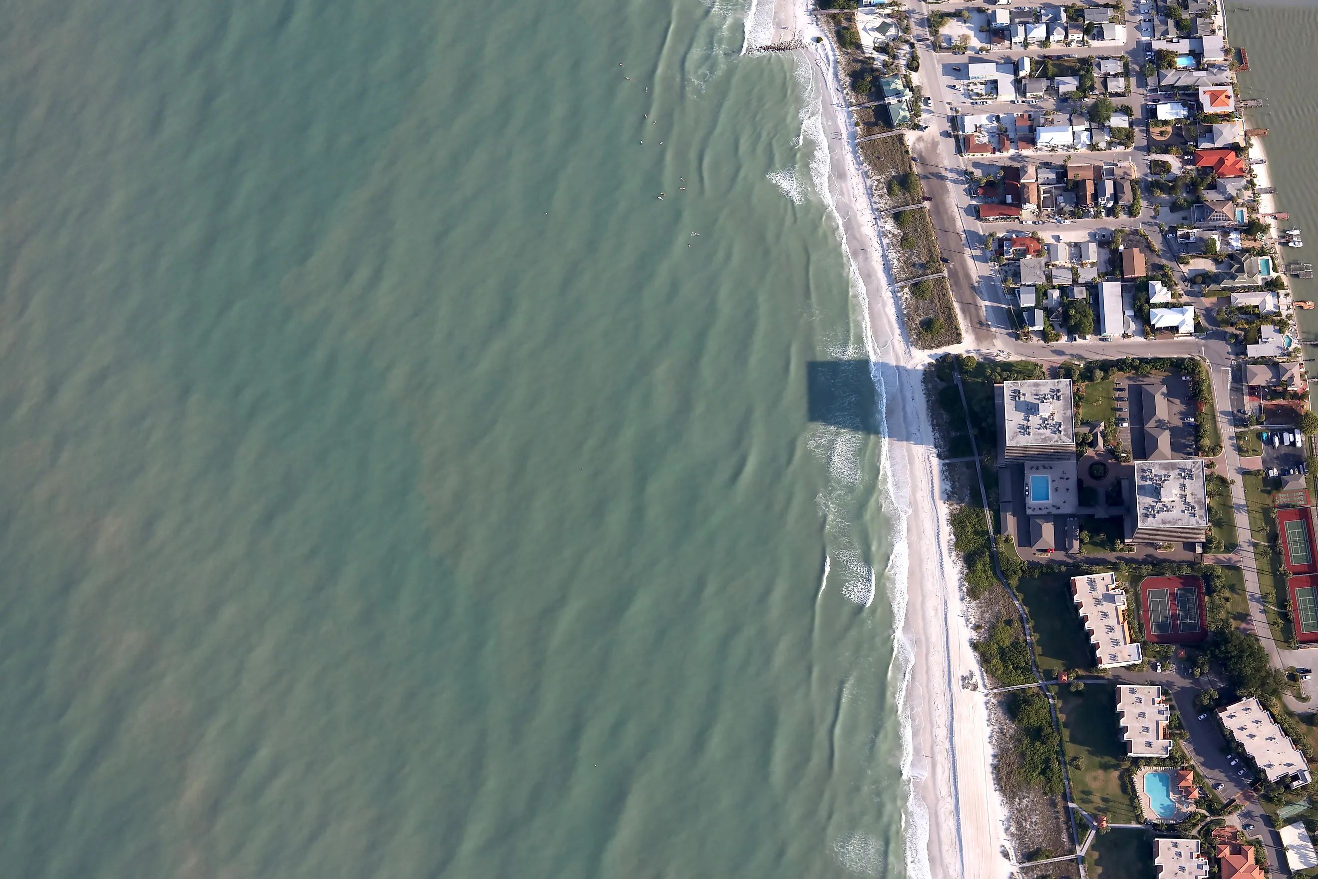
St. Petersburg

Cross the peninsula to the Gulf Coast and you reach St. Petersburg, anchor of the Tampa Bay region, which studies repeatedly rank among the most exposed metro areas anywhere in the country. Tens of thousands of St. Pete homes sit on low ground close to the water, and Tampa Bay's mix of shallow coastline, dense waterfront development, and a long-overdue major hurricane keeps forecasters up at night. Sea level here, as across Florida, has risen about 8 inches since 1950 and is speeding up. The city that bills itself as the Sunshine City is quietly rewriting its building and drainage codes for a wetter century.