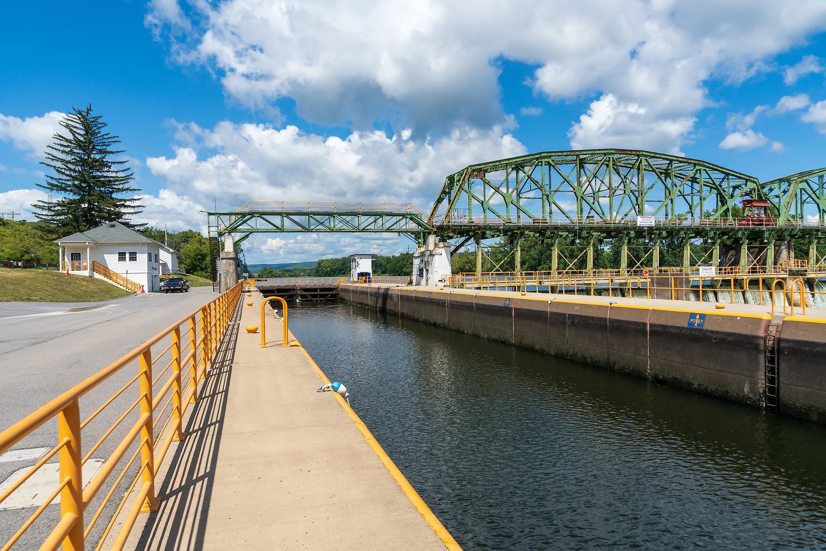
The Erie Canal Towns That Never Recovered
In 1900, Buffalo was the eighth largest city in the United States and the sixth busiest water port on Earth, with 352,387 residents and a waterfront built entirely around being the place where the Great Lakes met the canal to New York. By 2000 its population had fallen below 300,000, roughly half its 1950 peak. What happened to Buffalo happened at smaller scale to dozens of towns strung along 363 miles of upstate New York, and it happened three separate times: first the railroads took the freight, then in 1918 the canal itself was physically moved out of the town centers, and then the Thruway and the St. Lawrence Seaway finished what was left.
Here is what the canal built, what took it away, and which places never found a second reason to exist. The middle blow is the one worth understanding, because it is the closest parallel in American history to what the interstates did to Route 66.
What The Canal Created

The Erie Canal opened in 1825 after eight years of digging, running 363 miles from Buffalo on Lake Erie to Albany on the Hudson and managing a 571-foot drop in elevation with 83 locks. It was four feet deep and forty feet wide at the surface, which in practice left about 28 feet of usable width for barges passing each other.
It worked immediately and enormously. New York State recovered its $7 million investment within ten years, New York City became the busiest port in the country on the strength of it, and a chain of settlements along the route turned into industrial towns almost overnight. Syracuse, Utica and Rochester as they exist today are canal products, and so are a long list of smaller places that never got beyond a single main street.
Traffic peaked late, which is part of why the decline caught people out. More than a million tons moved through in 1845 and four million tons by 1880, and the collapse came after that rather than during the canal's slow middle age.
The Railroads Came First

The first blow arrived within a generation of the canal opening, and it arrived on rails laid alongside it. Trains ran year round while the canal froze every winter, they moved faster, and they could go places water could not.
Freight began shifting in the 1840s and 1850s and never came back. The canal remained useful for bulk cargo where speed did not matter, particularly grain, but the high-value traffic was gone, and with it the reason for a town to sit on a towpath rather than beside a depot.
The towns that had rail as well as canal generally survived this. The towns that had only the canal were already in trouble by the time anyone noticed.
Then The Canal Moved
This is the part specific to the Erie, and it is the closest thing in American history to what the interstates later did to Route 66. Between 1905 and 1918 New York spent $101 million rebuilding the whole system into the New York State Barge Canal, deep enough for self-propelled vessels carrying up to 3,000 tons.
To achieve that, engineers canalized the Mohawk, Oswego, Seneca, Genesee and Clyde rivers, dredging a channel 12 to 14 feet deep and 120 to 200 feet wide and routing the traffic through waterways the original canal had deliberately avoided. The consequence is stated plainly in the engineering histories: the restructured canal bypassed the centers of the major cities through which it had once passed.
A town whose business district had been built facing a canal now faced a ditch. The water was still in the state and the boats were still running, they were simply doing it somewhere else, several miles away, out of sight of the main street that existed to serve them.
Syracuse Filled Its In

The most literal version of the change happened in Syracuse, where the old canal ran straight through the middle of downtown and, once the traffic left, became a stagnant liability rather than an asset.
The city filled it in during the 1920s and paved the bed, which is why the main east-west artery through Syracuse is called Erie Boulevard. Clinton Square, the civic heart of the city, is the old canal basin with the water taken out.
Syracuse survived because it had rail, salt, manufacturing and eventually a university. What it did not do was keep the thing it was founded on.
The Thruway And The Seaway
The final two blows landed within three years of each other in the 1950s, and between them they ended commercial canal traffic as anything more than a curiosity.
The New York State Thruway was completed in 1956, running roughly parallel to the canal corridor and taking freight that had survived the railroads. Then in 1959 the St. Lawrence Seaway opened, letting ocean vessels sail from the Atlantic directly into the Great Lakes and removing the entire logic of transshipping cargo at Buffalo.
Commercial tonnage on the New York canals collapsed after that and never recovered. Today the system carries tourists.
Buffalo Took The Worst Of It

The Park Service keeps a timeline of Buffalo's population and it reads like a diagnosis. The city stood at 352,387 in 1900, at 506,575 by 1920, and peaked at 580,132 in 1950 as the fifteenth largest city in the country.
The Seaway opened in 1959. By 1960 Buffalo was down to 532,759 and twentieth largest, by 1970 it was 462,768 and twenty-eighth, by 1985 around 336,500, and it fell below 300,000 in 2000.
The cruel detail is that the Seaway was supposed to help lake ports. It brought ocean vessels to Buffalo, Cleveland, Toledo, Detroit, Chicago and Duluth. Buffalo's facilities were built for canal barges and lake freighters and were simply not suited to the larger ocean ships the Seaway served, so the traffic passed through rather than stopping.
The Small Towns Had Less To Lose And Lost It

Buffalo at least had size, rail connections, industry and a university system to fall back on. The villages between Albany and Buffalo mostly had the canal and whatever mill or factory the canal had brought.
The pattern along the Mohawk Valley and through Wayne, Orleans and Montgomery counties is repetitive: a nineteenth-century main street facing a waterway with no commercial traffic, a factory that closed sometime between 1950 and 2010, and a population that peaked before the Second World War. Canajoharie lost Beech-Nut, which had been there for over a century, when the company moved production in 2011. Ilion, further west, lost the Remington Arms plant that had operated since 1816.
Those closures are usually reported as manufacturing stories, which they are. They are also the last chapter of a canal story, because the factories were there in the first place because the canal was.
Why Some Recovered And Others Did Not

Three factors separate the canal towns that are fine from the ones that are not, and none of them is the canal.
Proximity to a city that grew is the strongest. Pittsford and Fairport sit on the canal outside Rochester and are prosperous suburbs whose canal frontage is now an amenity rather than an industry. The same water runs through villages fifty miles east with entirely different results.
An institution is the second. Brockport has a state university, Syracuse and Rochester have several, and a campus is the one employer that does not relocate. The third is simply whether any other industry ever arrived, because a town that got a factory in 1890 had a second life available and a town that did not was running on canal traffic alone.
What Is There Now
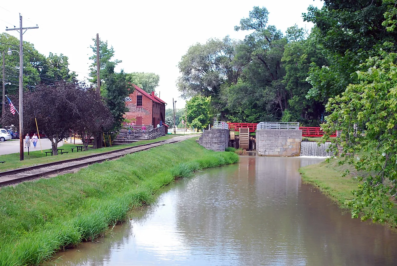
Congress designated the Erie Canalway National Heritage Corridor in 2000, covering 524 miles. The modern canal system carries recreational boats, cyclists on the towpath and summer festivals in towns that once loaded grain by the thousand tons.
That is genuine economic activity and it is not nothing, but it is seasonal, and it is worth being clear about the scale. A village that once had a freight economy now has a trail. The heritage designation preserves the story rather than restoring the function.
The canal did to these towns exactly what it was built to do, which was move commerce efficiently, and then the commerce moved again. The towns that were most completely a product of the canal are the ones with the least left, which is a difficult thing to fix with a bike path.