Which Provinces Border Saskatchewan?
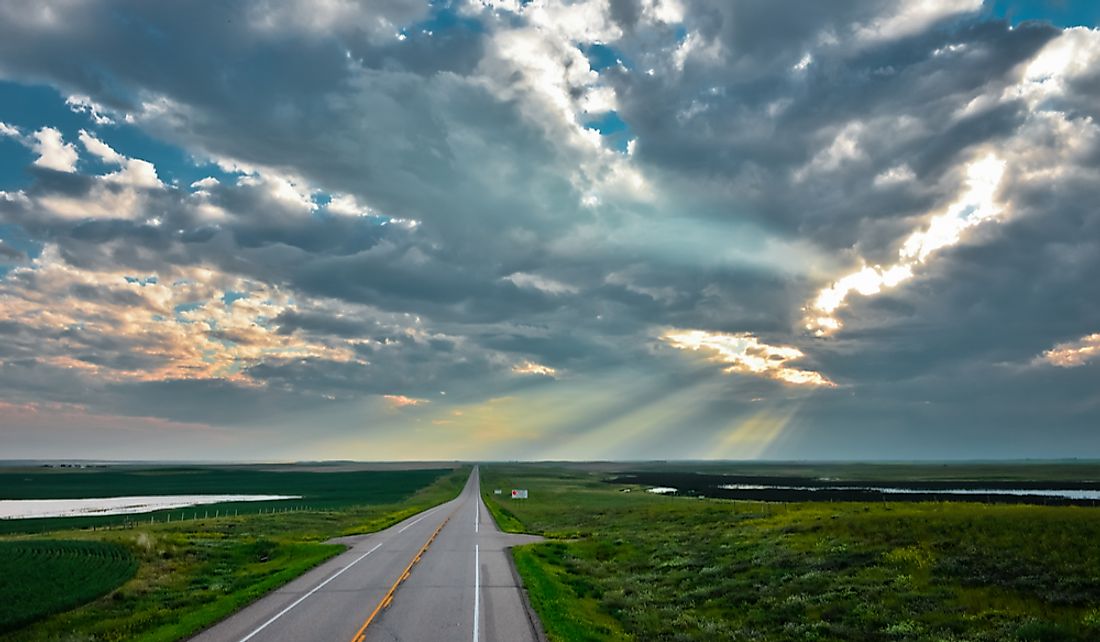
Saskatchewan is one of the three prairie provinces of Canada (the other two provinces are Alberta and Manitoba). The Canadian prairie is a geographical region in western Canada and includes the Great Plains. Saskatchewan has a total area of approximately 251,700 square miles and nearly 22,900 square miles or 10% of Canada’s total fresh water in the form of rivers, lakes, and reservoirs. The province has a population of approximately 1.2 million residents with the majority of the people living in the southern half of the province. The northern half is mainly forested and sparsely populated. More than half of the total population either live in the capital Regina or largest city Saskatoon. Saskatchewan is a landlocked province, surrounded by other Canadian provinces and territories and the US states. It is bordered by the provinces of Alberta and Manitoba to the west and east respectively and territories of Nunavut and Northwest Territories to the north and northeast respectively. The US states of North Dakota and Montana border the province to the south.
The Making of Alberta and Saskatchewan
North-Western Territory Purchase
Before the government of Canada purchased the North-Western Territory in 1868, Western Canada was mainly linked to the European development and exploration, the region was of interest to the Europeans mainly because of the fur trade, with the British and the French competing with each other to establish trading posts. By the end of the 18th century two major companies were dominating the region; North West Company and Hudson’s Bay Company, owned by the Canadian and British respectively. In 1821, the two companies merged. Despite the merger, the company faced financial challenges that it could no longer make fur trade profitable. These financial problems and the immense pressure from Great Britain forced the Government of Canada to purchase the North-Western Territory and Rupert’s Land. The agreement between the Hudson’s Bay Company and the government was ratified in 1968.
The Splitting of the Territory
From 1868 when the North-Western Territory was purchased to the admission of Alberta and Saskatchewan into the Confederation, the region underwent great changes. The Manitoba boundary was delineated in 1870, expanded twice in 1881 and 1882 and defined in 1912. In 1882, the Northwest Territories was divided into four: Assiniboia, Athabasca, Saskatchewan, and Alberta. From 1902, legislative assemblies of the various territories started demanding for provincial self-government. The then “premier” Haultain supported the creation of one province but the majority felt that one province would be too large to administer. The rival communities also supported the creation of more than one province. On September 1, 1905, the government adopted both the Alberta Act and Saskatchewan Act allowing the two provinces to join the Confederacy as the 8th and 9th sub-divisions in no particular order. Saskatchewan is bordered by Alberta to the west and the two are separated by the straight boundary line. The provincial border is crisscrossed by Highway 17. The city of Lloydminster is located in both provinces.
Manitoba-Saskatchewan Border
Manitoba was delineated from the Northwest Territories in 1870 and its borders defined in 1912. Thus, when the province of Saskatchewan was created, Manitoba’s western border had already been marked. The two provinces share a border to the east of Saskatchewan. From the map, the Manitoba-Saskatchewan border appears as a perfect vertical line. However, the line has a zigzag which resulted from the use of the Dominion Land Survey when Manitoba’s boundary was being surveyed. When using this survey technique the lines of latitude and longitude would eventually emerge at the North Pole and this would not give an accurate location for the borderline. To achieve create an acceptable boundary, these lines needed to be corrected during the survey. Therefore, the jog on the Saskatchewan-Manitoba border is about 1.25 miles. Saskatchewan’s northeastern tip and Manitoba’s northwestern tip also meet at the four corners. In previous years, there were talks to merge the two provinces into one for a variety of social reasons. Others even suggested that the new province be named “Saskatoba” but the calls have come to naught.
Northwest Territories-Saskatchewan Boundary
Saskatchewan shares its northern boundary with the Northwest Territories. The northern boundary was defined by the Saskatchewan Act as the 60th degree parallel north of latitude. In order to demarcate and mark the border between the two political subdivisions, the Saskatchewan-Northwest Territories Boundary Commission was appointed in 1952. The commission started surveying the boundary in 1953 and completed their work in 1962. The history of the political and territorial evolution of Northwest Territories is closely tied to that of Saskatchewan among other provinces and the two other territories. In 1882, the territory was divided into four administrative units, namely Saskatchewan, Alberta, Athabasca, and Assiniboia. Subsequently, Alberta and Saskatchewan joined the Confederation as provincial units in 1905.
The Four Corners of Canada
Saskatchewan is bordered by Nunavut to the northeast. In fact, the point at which Saskatchewan, Nunavut, Manitoba, and Northwest Territories meet is known as the four corners of Canada. These for political subdivisions meet at a point near 60°N 102°W, located between Hasbala Lake in the south and Kasba Lake in the north. This point was surveyed before the creation of Nunavut in 1999 and marked by an aluminum obelisk. On top of the obelisk is a disk warning anyone against removing it and the consequences which include a five-year jail term. The four corners are the only quadripoint location in entire Canada.


