8 Ancient Port Cities that Controlled Global Trade
Long before Venice, Genoa, or the Hanseatic League, a network of ancient port cities ran the global economy. They moved Egyptian grain to Italy, Indian pepper to Alexandria, Chinese silk to Southeast Asia, and Phoenician purple dye to anyone who could pay for it. Their power did not come only from harbors and monsoon winds; it came from the political institutions that organized maritime trade, the customs systems that taxed it, and the colonial outposts that secured it. The eight ports below all reached their commercial peaks before 500 CE, and together they ran a maritime trade network that stretched across the Mediterranean, the Indian Ocean, and the South China Sea. Their influence on early globalization is the reason historians still talk about a "world economy" two thousand years before the term existed.
Alexandria (Egypt)

Historical context
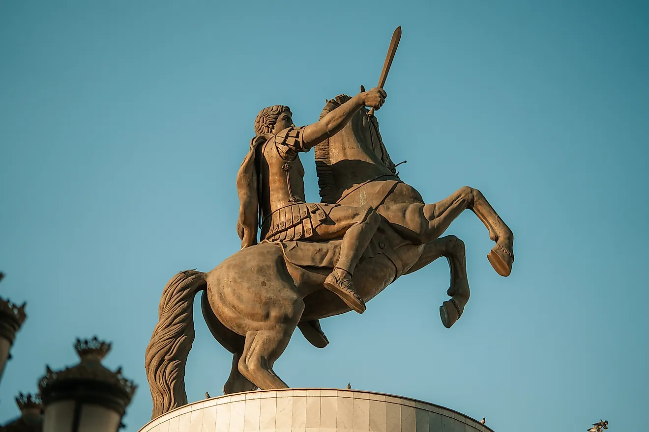
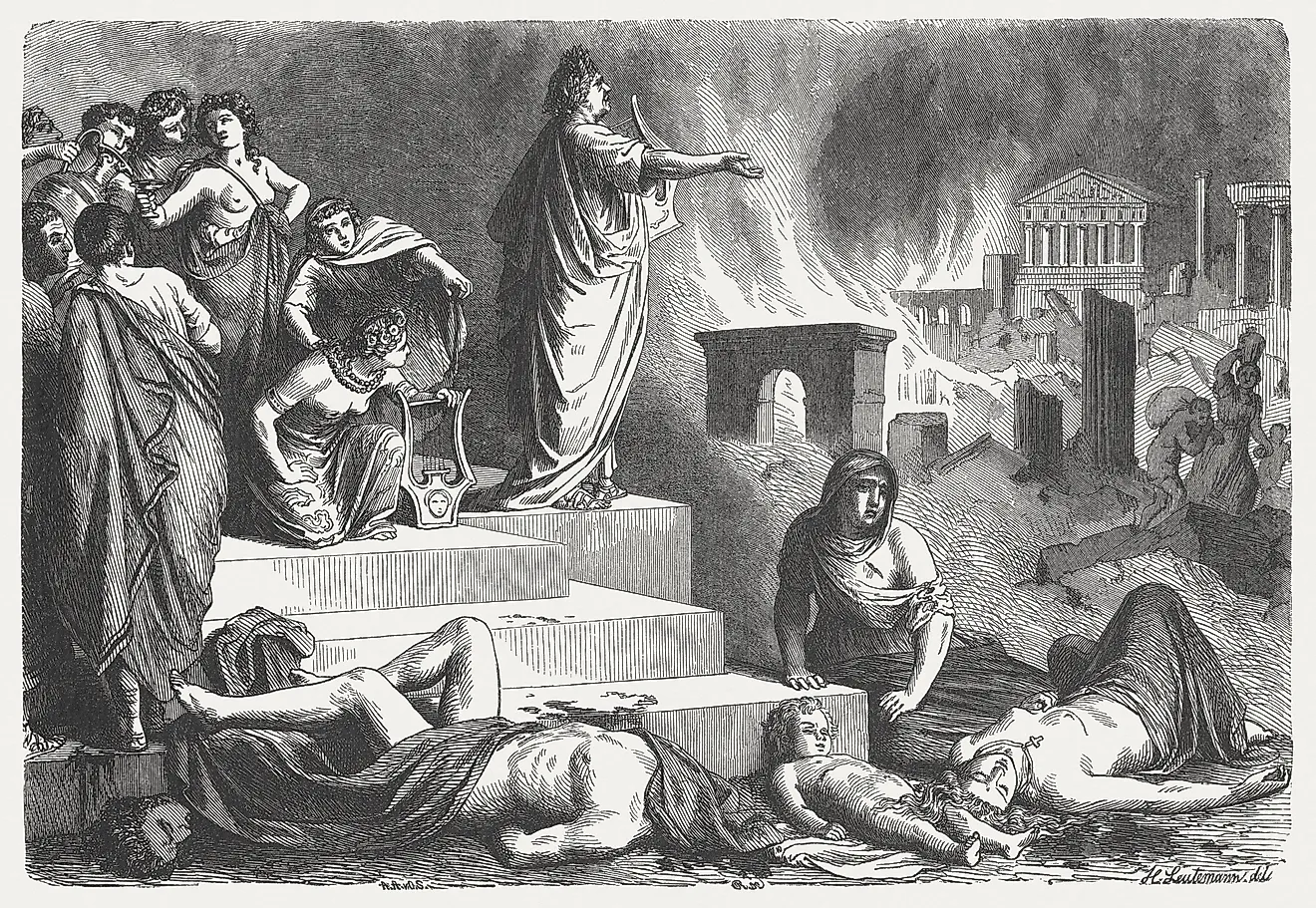
Founded in 331 BCE by Alexander the Great, Alexandria became the main Mediterranean outlet of the Nile valley and the political capital of the Ptolemaic kingdom. Under Roman rule from 30 BCE, it became the second-largest city in the empire after Rome itself. Its twin harbors, separated by the Heptastadion causeway, and the Pharos lighthouse (one of the Seven Wonders of the Ancient World) made it the most recognizable port of antiquity.
Strategic significance
Alexandria linked the grain-rich Nile hinterland with the wider Mediterranean. Egyptian wheat fed Rome's annona public dole and underwrote Roman political stability for centuries; estimates suggest Egypt supplied roughly one-third of Rome's grain at the empire's height. Alexandria also served as the Mediterranean terminus for Red Sea trade, with spices, gems, ivory, and aromatics arriving via Berenike and Myos Hormos before traveling overland to the Nile and on to Alexandria's harbors.
Impact on global trade
The city worked as a clearinghouse among Africa, the Near East, the Mediterranean, and the Indian Ocean. Its Library and Mouseion concentrated scientific and philosophical knowledge alongside the goods that moved through its harbors, making the port a hub for cultural exchange as well as commerce. Greek became the lingua franca of long-distance trade across the eastern Mediterranean and beyond largely because of Alexandria's role.
Carthage (North Africa)

Historical context
Founded by Phoenician settlers from Tyre in the 9th century BCE (the name means "new city"), Carthage grew from a colonial outpost into the dominant maritime power of the western Mediterranean. By the 4th century BCE it controlled an empire that reached from southern Spain through North Africa to Sicily and Sardinia. Rome destroyed it in 146 BCE at the end of the Third Punic War and rebuilt it as a Roman colony in 29 BCE.
Strategic significance
Carthage controlled the chokepoints between the eastern and western Mediterranean and developed one of the most sophisticated harbor complexes of the ancient world: a rectangular commercial harbor opening into the famous circular cothon, a fully enclosed naval port that could shelter and outfit 220 warships at once. From here, Carthaginian merchants moved tin and silver from Iberia, agricultural produce from North Africa, and luxury goods through a network of colonies and treaty ports.
Impact on global trade
By organizing a web of dependent ports and trade treaties, Carthage effectively managed access to western Mediterranean markets, dictating who could trade where and on what terms. Its rivalry with Rome, fought out across three Punic Wars, was at heart a struggle over maritime trade routes and customs revenues. Rome's victory reoriented Mediterranean commerce under Roman control and turned the inland sea into mare nostrum.
Tyre (Phoenicia, modern Lebanon)

Historical context
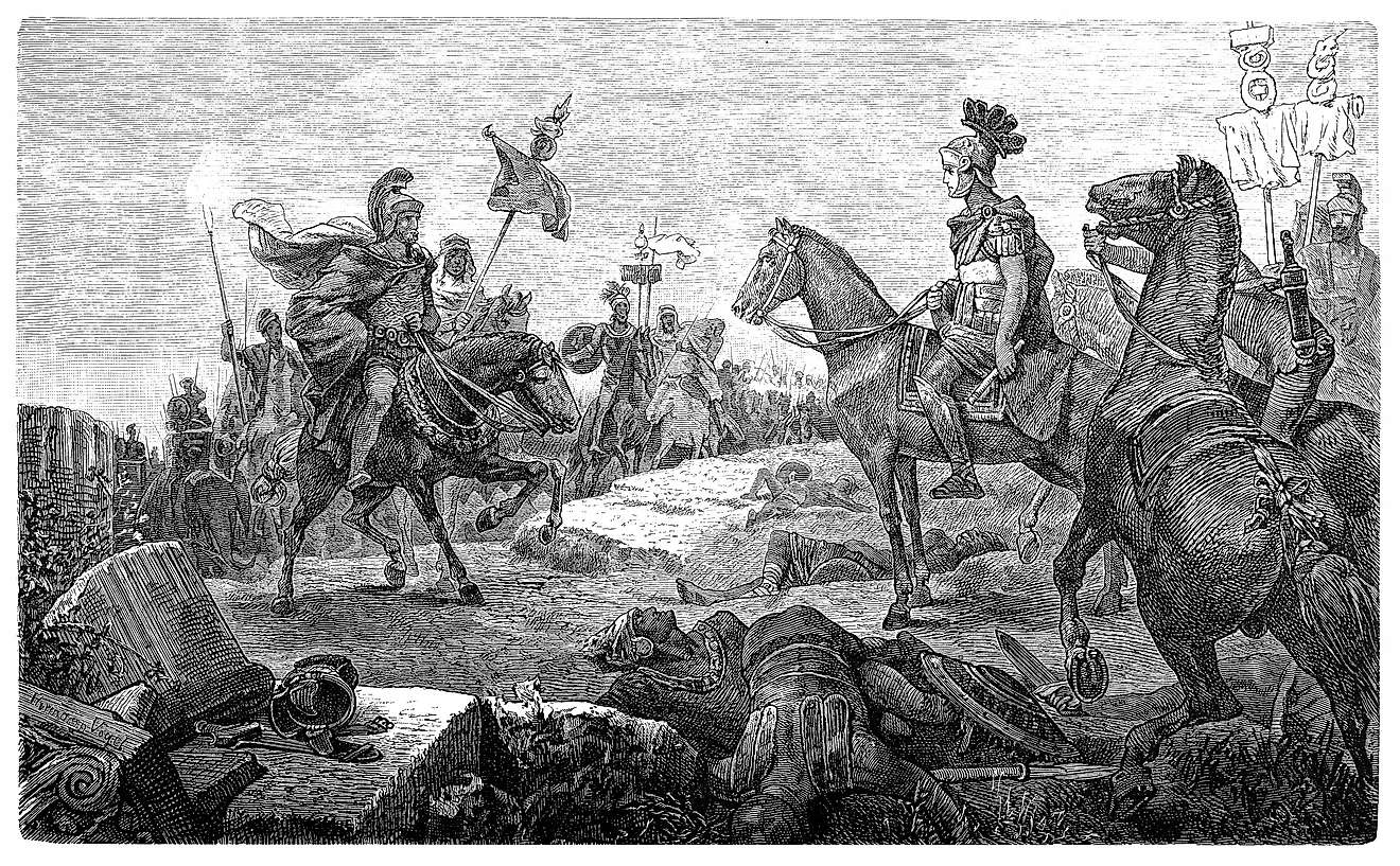
Tyre was already a major Phoenician city by the late second millennium BCE and flourished as a maritime power under successive Assyrian, Babylonian, Persian, Hellenistic, and Roman overlords. Its original island harbor, separated from the mainland until Alexander built a causeway in 332 BCE during his seven-month siege, made the city one of the most defensible ports of the ancient Mediterranean.
Strategic significance
Tyre specialized in high-value exports, most famously the purple dye produced from the murex sea snail (a single garment required tens of thousands of snails, and the dye was so valuable that "Tyrian purple" became synonymous with royalty). It also served as a redistribution center for cedar timber, metals, and luxury goods from inland Syria and Mesopotamia. Phoenician colonization, including the founding of Carthage in 814 BCE, radiated outward from Tyre and extended its commercial influence across the Mediterranean.
Impact on global trade
Tyrian merchants pioneered the long-distance maritime networks that connected the Levant to the western Mediterranean. The Phoenician alphabet, developed in part to track commercial transactions, became the basis for Greek and ultimately Latin scripts; the city's commercial institutions and navigation knowledge were inherited and adapted by every later Mediterranean trading power.
Piraeus (Port of Athens, Greece)

Historical context
Developed intensively in the early 5th century BCE under Themistocles, Piraeus served as the main port of classical Athens. The city's three harbors (Kantharos, Zea, and Munichia) handled commercial and military traffic separately. Fortified and linked to Athens by the Long Walls, Piraeus became the logistical backbone of the Athenian democracy and its naval empire.
Strategic significance
Piraeus housed specialized shipyards (the famous neoria), naval bases capable of sheltering 372 triremes, and commercial harbors supporting a dense community of resident foreigners (metics) engaged in trade. Grain from the Black Sea, timber from Macedon, metals from Thrace, and luxury goods from across the Mediterranean flowed through Piraeus, while Athenian olive oil and pottery moved out across the Aegean and beyond.
Impact on global trade
Control of Piraeus allowed Athens to project naval power, enforce tribute from its allies in the Delian League, and dominate Aegean sea lanes. The port's commercial courts (which handled disputes in 30 days), maritime banking practices, and bottomry loan contracts influenced later Greek and Hellenistic commercial law and laid the groundwork for Roman maritime jurisprudence.
Ostia and Portus (Ports of Rome, Italy)

Historical context
Ostia, at the mouth of the Tiber, developed as Rome's primary harbor from at least the 4th century BCE. Under Claudius (ports complex begun 42 CE) and Trajan (hexagonal inner basin completed 113 CE), the artificial harbor complex of Portus was added to handle ever-growing traffic, creating a twin-port system that served the imperial capital and a city of more than one million people.
Strategic significance
These ports were the intake valves for Rome's annona, the state grain dole that fed the urban population, as well as for wine, olive oil, garum, marble, and luxury imports from across the empire and beyond. Massive warehouses (the horrea), the Pharos lighthouse modeled on the one at Alexandria, and an extensive canal system turned Ostia-Portus into the most sophisticated logistics hub of the ancient world.
Impact on global trade
By centralizing imports through Ostia and Portus, Roman authorities could stabilize food prices, manage urban provisioning, and tax high-value goods. Amphorae found in the warehouses document trade links stretching from Britannia to the Levant and the Red Sea. Mount Testaccio, the artificial hill in Rome made up of an estimated 53 million broken oil amphorae, gives a physical sense of the scale of Roman maritime imports that came through these ports.
Ephesus (Western Anatolia, modern Turkey)

Historical context
Located near the mouth of the Cayster River on the Aegean coast, Ephesus was a major Greek city by the Archaic period and the principal metropolis of the Roman province of Asia from the 1st century BCE on. Its harbor was prone to silting and required constant dredging; multiple emperors funded harbor works to keep it open.
Strategic significance
Ephesus connected maritime routes from the wider Mediterranean with inland road networks leading to Sardis and the Anatolian plateau, including a major terminus of the Royal Road of the Persian Empire. It exported agricultural products, textiles, and regional manufactures, while importing Mediterranean and eastern luxuries. The city's monumental architecture, including the Temple of Artemis (another of the Seven Wonders of the Ancient World) and the Library of Celsus, was financed in part by this commercial prosperity.
Impact on global trade
As a provincial capital and judicial center, Ephesus concentrated administrative and financial functions that facilitated long-distance trade, including banking, tax collection, and legal arbitration. Christian texts (the Letter to the Ephesians, the Acts of the Apostles, and the Book of Revelation) attest to a diverse population of locals, Romans, Jews, and other groups, illustrating how commercial cities drew multiple cultures into sustained contact.
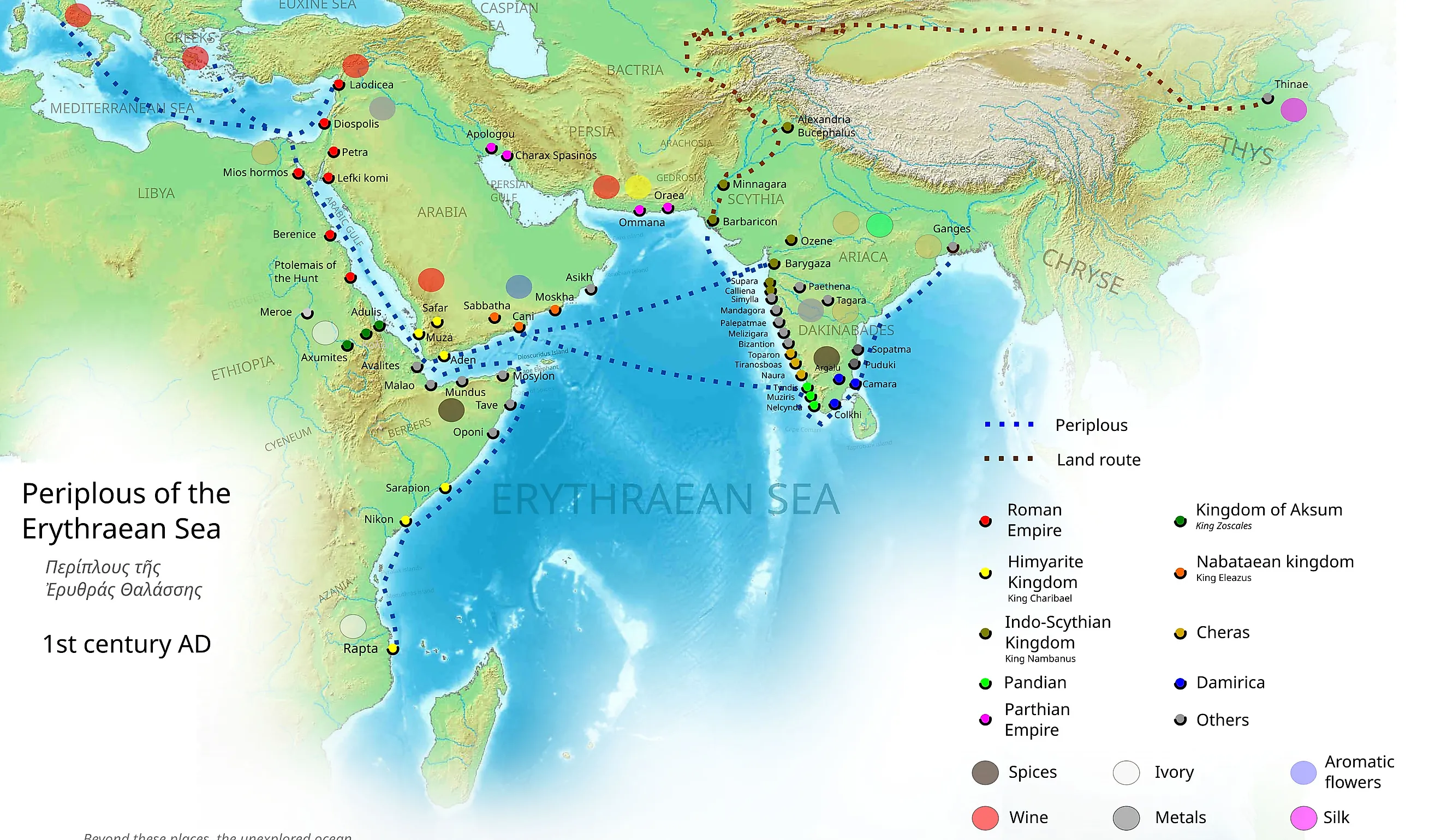
Muziris (Malabar Coast, India)

Historical context
Muziris, probably located near modern Pattanam in Kerala, flourished as the leading Indian Ocean port on India's southwestern coast from at least the late centuries BCE into the early centuries CE. Its exact location was lost for centuries; archaeological excavations at Pattanam since 2007 have produced amphorae fragments, Roman coins, and beads that strongly support identification with the ancient port. Literary sources including the Periplus of the Erythraean Sea (a Greek navigational guide from around 60 CE) describe it as "the first emporium of India."
Strategic significance
Muziris sat at the western edge of the monsoon sailing system. Greco-Roman sailors used the southwest monsoon (May-September) to sail directly across the Arabian Sea from Egyptian Red Sea ports, then returned with the northeast monsoon (November-March), cutting the round-trip from years to months. Pepper, pearls, ivory, gemstones, and fine cotton textiles moved out; gold and silver coins, wine, glassware, and bronze flowed in.
Impact on global trade
The port made direct sea trade between the Roman world and the Indian subcontinent a regular operation rather than a relay through middlemen. The scale was substantial: Pliny the Elder complained that India drained 50 million sesterces from the Roman economy each year. Hoards of Roman gold and silver coins found across southern India confirm the bullion flow. The Vienna papyrus, a 2nd-century CE shipping contract, documents a single ship's cargo from Muziris valued at 7 million sesterces.
Guangzhou / Panyu (South China)

Historical context
The port of Panyu (near modern Guangzhou) emerged as a significant maritime center under the Qin and Han dynasties. Founded as the capital of Nanyue Kingdom in 204 BCE and absorbed by the Han Empire in 111 BCE, Panyu provided imperial China with a southern maritime outlet. Recent archaeology, including the tomb of the second Nanyue king discovered in 1983 with its silver boxes of Persian origin and African ivory, confirms the port's deep early connections to the wider Indian Ocean world.
Strategic significance
From Panyu, Chinese merchants and officials engaged with Southeast Asian polities and, indirectly, with Indian and Roman traders via intermediate ports in present-day Vietnam, Malaysia, and Indonesia. Exports included silk, lacquerware, and ceramics; imports ranged from frankincense and myrrh to glass, gemstones, and exotic animals. Roman embassies recorded in Chinese sources as arriving in 166 CE almost certainly reached the empire via this port.
Impact on global trade
Panyu/Guangzhou anchored what later became known as the Maritime Silk Road, helping connect East Asia to the Indian Ocean trading system centuries before 500 CE. Archaeological finds of foreign ceramics, beads, and coins in the region, along with Chinese textual references to "Western Ocean" traders, show that this port participated in a genuinely interregional sphere of exchange. The city has remained one of China's primary maritime gateways for more than two thousand years and is the only ancient port on this list still operating as a major commercial harbor today.
One Connected Ancient World
Taken together, these eight ports demonstrate that pre-500 CE trade was already deeply interconnected. Mediterranean harbors like Alexandria, Carthage, and Piraeus, Roman logistical hubs at Ostia-Portus and Ephesus, and Indian Ocean and East Asian gateways at Muziris and Panyu all moved goods, people, and ideas through a working maritime system. The exact location of Muziris, the precise scale of Indo-Roman trade, and the degree of state versus private control in Han maritime commerce remain active research questions, which is why historians continue to revisit the evidence and remap the contours of ancient globalization.