Why Some American Rivers Have No Mouth
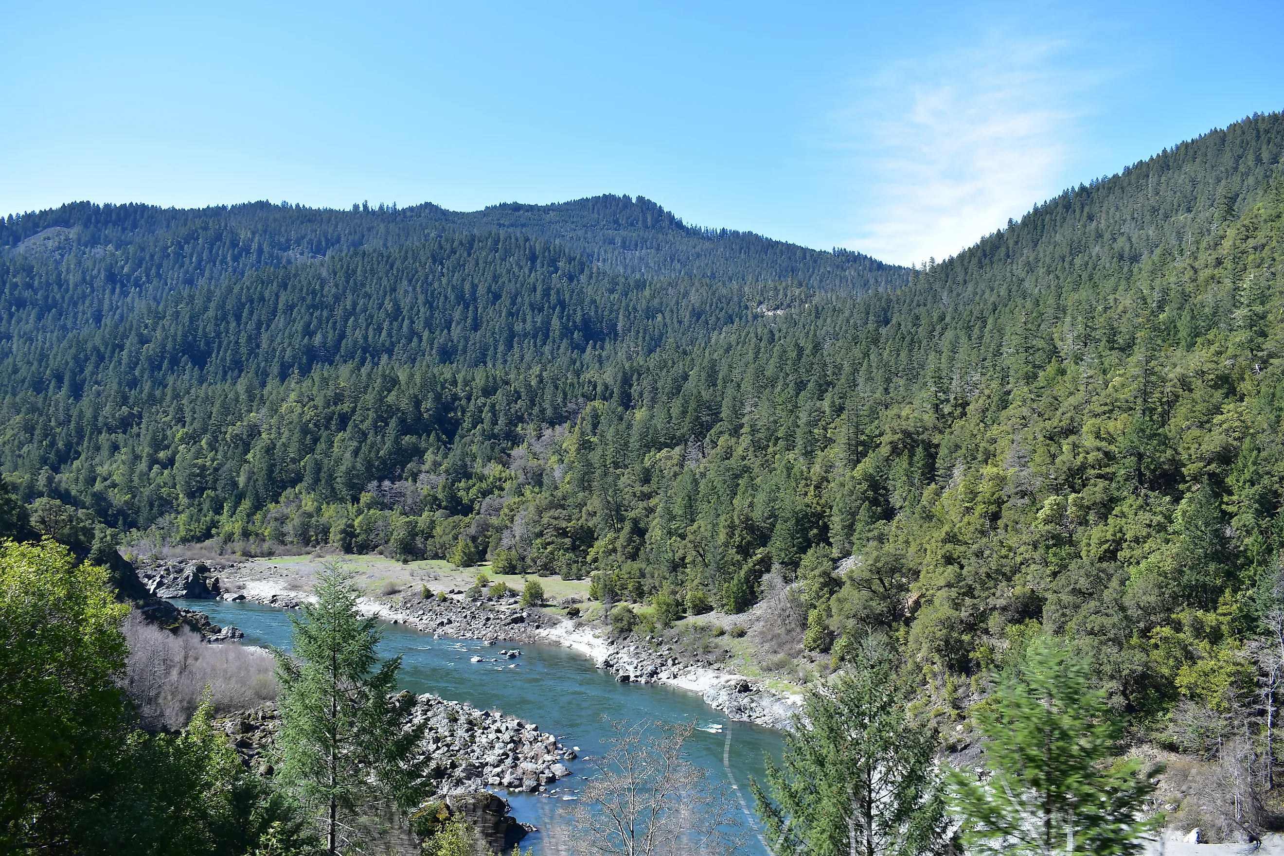
Drop a bucket of water almost anywhere in North America, and it will eventually trace a path to the Atlantic or the Pacific. Not here. In the American West, geography breaks the rules. Dozens of massive mountain rivers flow down into the desert plains and just vanish, never hitting an ocean outlet or joining another river system.
Geologists call these "blind" or endorheic rivers. They don't disappear by magic or because the West simply ran out of water. Instead, they succumb to a harsh mix of enclosed geography, extreme desert heat, and porous volcanic rock.
Unlike rivers that eventually reach the sea, these waterways are part of drainage systems with no natural route beyond their surrounding landscapes. Their courses can stretch across hundreds of miles, passing through mountain valleys, dry basins, and desert flats before reaching their final destination. Some have shaped the terrain for thousands of years, even as their visible channels disappear from view.
The Great Basin Trap

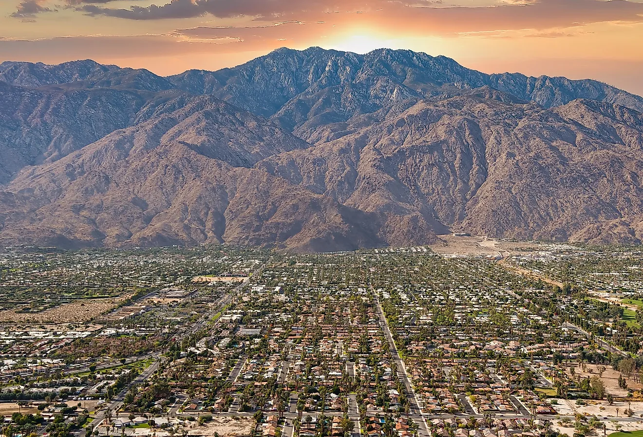
The main reason these rivers lack a mouth is the shape of the land itself. Most of Nevada, about half of Utah, and chunks of California and Oregon sit inside a 200,000-square-mile geographic bowl called the Great Basin.
Unlike the rest of the country, where the ground tilts toward the coasts, the Great Basin drains inward. High mountain ranges rim the edges, blocking any path to the sea. Rivers here have nowhere to go but down into the lowest, flattest parts of the desert floor, known as sinks or playas.
The Humboldt River is the longest river located entirely within Nevada, twisting for over 200 miles from the Jarbidge Mountains. It loses water every mile it travels until it pools into the Humboldt Sink. Once it gets there, the topography locks it in. It simply stops.
These isolated drainage systems also explain why the Great Basin contains so many salt flats and shallow lakes. Minerals carried down from mountains accumulate in the basin because there is no river outlet to wash them away. Over thousands of years, repeated cycles of flooding and drying have helped shape some of the West's most recognizable desert landscapes.
Water Evaporating in Mid-Air

For desert streams like the Amargosa River, which flows from Nevada into California's Death Valley, the lack of a mouth comes down to a brutal climate deficit. In these arid valleys, the air is so dry and hot that the annual evaporation rate completely crushes the actual rainfall.
As a river leaves its cold mountain source, it spreads out across the wide, flat desert plains. This gives the sun and wind more surface area to work with. By the time the Amargosa reaches the bottom of Death Valley, the intense heat strips the river of its remaining volume. The water turns to vapor before it can carve a path out, leaving nothing but a dry wash of crusty salt minerals.
This process also leaves a visible record of where the water once traveled. As moisture disappears, dissolved minerals remain behind, creating salt crusts and mineral deposits across the valley floor. These deposits can expand during particularly dry periods, making former river channels difficult to distinguish from the desert.
The River Moving Underground

Not every mouthless river evaporates. Some are swallowed whole by the earth.
In Idaho, the Big Lost River and Little Lost River flow out of the mountains and straight into a vast plain of ancient, fractured volcanic rock and loose gravel. Instead of pooling into a lake, the water hits specific depressions called "The Sinks" and rapidly leaks straight through the porous ground.
The rivers effectively transition into an enormous subterranean aquifer hundreds of feet below the surface. They don't run dry; they just move out of human sight.
This underground movement has practical consequences for communities that depend on the region's water supply. Groundwater replenished by the Lost Rivers supports agricultural activity in Idaho's valleys. The connection between surface rivers and underground reserves also means that water disappearing from one location may remain available elsewhere.
Moving Endpoints

Because these rivers rely on a finicky balance of weather and geology, their final stopping points change constantly.
During heavy winters with deep mountain snowpacks, the Humboldt River can breach its usual sink and flood desert flats for miles, technically growing longer. During droughts, the river dries up much closer to the mountains.
Human engineering makes this mapping even messier. Dams and irrigation systems pull water from these streams early, often forcing a river to hit its terminal dry point miles ahead of where nature intended.
These changing endpoints make the rivers difficult to represent with a single permanent line on a map. A river's mapped length may reflect its usual course rather than the full distance it travels during unusually wet years. For researchers, tracking these variations helps reveal how climate, land use, and water management continue to reshape the American West's drainage systems.
The rivers of the American West reveal how dramatically geography can shape the movement of water. Their endpoints are not fixed, but depend on shifting weather patterns, underground formations, and human interference. Some disappear beneath the volcanic rock, while others evaporate into the desert, leaving behind mineral deposits. Rather than reaching the ocean, these rivers become part of a closed landscape where their journeys end on land.