What Happens To St. Louis If The Missouri And Mississippi Flood Together
When the Missouri and Mississippi flooded together in 1993, floodwater rose to within a few feet of the top of St. Louis' floodwall. The Mississippi reached a record 49.58 feet on the local gauge, nearly 20 feet above flood stage. That was after upstream reservoirs had held back enormous amounts of water.
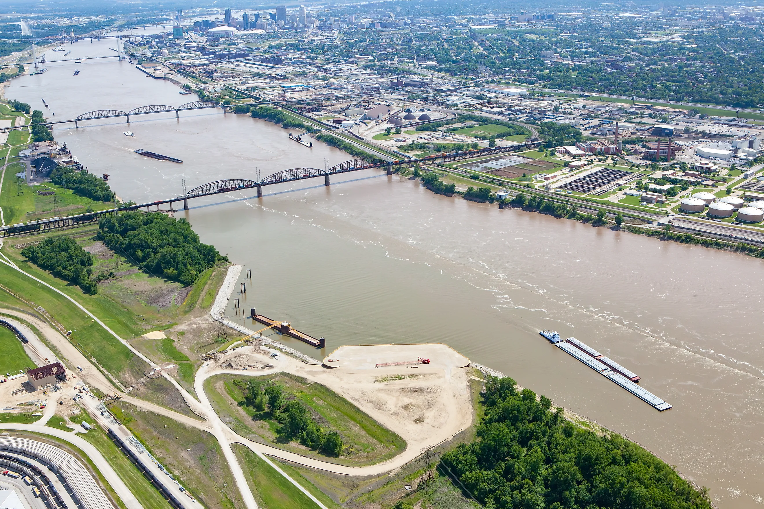
The two rivers meet north of the city, funneling runoff toward a riverfront about 15 river miles downstream. A simultaneous flood can put St. Louis under pressure even when the heaviest rain falls hundreds of miles away. How much of the city floods depends on where that water goes next, and on the different flood defenses protecting each part of the metropolitan area.
Two Flood Crests Feed One River
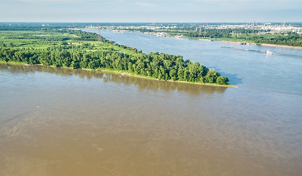
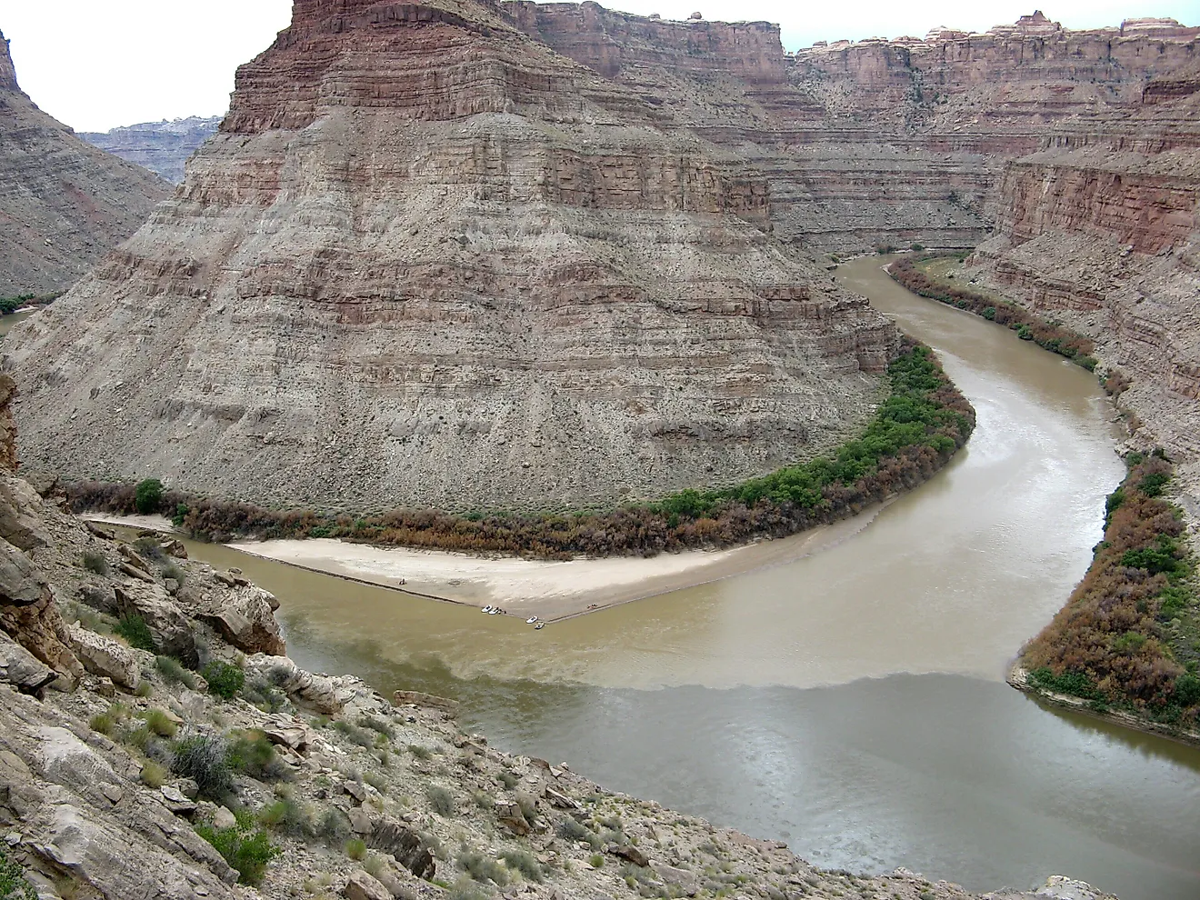
At the Missouri's mouth, water arriving from the Great Plains joins the Mississippi's southbound flow. Downtown St. Louis sits below that junction. During a widespread flood, both rivers can deliver high water for days, with the worst conditions developing when their largest flows reach the confluence close together. Their gauge readings cannot simply be added. Each gauge measures water height above its own reference level; downstream flooding depends on the amount of water arriving and the space available to carry it. High water around the junction can also create backwater, raising levels upstream as drainage slows.
In 1993, saturated ground and repeated heavy rain supplied both river systems. The Mississippi at St. Louis eventually carried about 1.08 million cubic feet of water per second. For riverfront businesses, the danger could keep increasing after a local storm had passed because runoff was still arriving from far upstream.
The Riverfront Can Flood While Downtown Stays Dry

Leonor K. Sullivan Boulevard can be underwater while streets farther inland remain dry. The National Weather Service identifies a 34-foot river stage as the point where flooding begins near the Eads Bridge underpass. The road begins flooding more than 15 feet below the 1993 crest.
As the river rises, crews close openings in the flood-protection system that normally allow road and railroad access.
Nor does water have to reach the top to threaten a wall. On July 23, 1993, water erupted on the landward side of the St. Louis floodwall. Crews placed rock and built a ring levee around the problem, but underseepage continued. The Army Corps of Engineers ultimately repaired a hole beneath the foundation, preventing a collapse. A reconstruction project completed in 2014 later addressed underseepage problems, adding 108 relief wells and new gates at 22 closure structures.
A Levee Failure Can Flood An Entire Valley

West of downtown, Chesterfield Valley experienced a very different 1993 flood. The Monarch levee failed along the Missouri River, allowing water into an area containing homes and businesses. The flooding closed an interstate and swept through Spirit of St. Louis Airport.
Chesterfield's defenses have since been substantially improved. The present Monarch-Chesterfield system reduces risk from a flood with a 0.2 percent annual chance, commonly called a 500-year flood. That term describes a yearly probability, not a timetable between floods. Repeating the 1993 river conditions would not automatically reproduce the same pattern of damage. The Army Corps considers failure unlikely, but identifies potential depths of as much as 12 feet if a catastrophic failure occurred. Interstate 64 and shopping centers also occupy the protected area.
Water Can Back Up Into South St. Louis

The Mississippi can spread flood trouble inland through the River des Peres. In 1993, Mississippi backwater and local drainage pushed that smaller waterway to record levels, forcing St. Louis residents out of their homes. A high main river makes it harder for a tributary to empty, so flooding can extend beyond the banks people associate with the Mississippi.
Behind the city's flood defenses, stormwater still needs an exit. During low river stages, drainage can pass through gravity outlets. As the Mississippi rises, gates must prevent river water from entering through those openings, and pumping stations move interior water out. Heavy local rainfall during a river flood adds to the amount that must be removed.
The city operates the floodwall and road closures, while the Metropolitan St. Louis Sewer District operates drainage and pumping facilities. A neighborhood's exposure depends on its drainage connections and pumping capacity as well as its distance from the Mississippi.
Drinking Water Depends On Protected Treatment Plants

Howard Bend's new floodwall was finished three months before the 1993 flood. High water in 1986 had prompted plans for the new protective wall. The Water Division credits the wall improvements with limiting damage to the treatment plant's equipment. Howard Bend takes drinking water from the Missouri upstream of the confluence. The city's other treatment plant, Chain of Rocks, draws from the Mississippi downstream of the junction.
During a simultaneous flood, maintaining treatment would depend on protecting the equipment needed to deliver water. Floodwater reaching a plant's electrical or pumping systems could interrupt service even in neighborhoods whose homes remain dry. Water entering the plants is tested and treated before distribution; a flooded river does not by itself mean contaminated tap water.
River Commerce Can Stop For Weeks
Extreme high water can close the shipping route through St. Louis. During the 1993 flood, more than 2,000 barges across the affected river system were waiting for navigation to resume at one point. The Army Corps recorded a 36-day navigation closure. Cargo movements stopped even where nearby buildings remained protected.
Surviving levees were saturated and vulnerable, making vessel movement at high river stages dangerous. The Corps and Coast Guard worked with the towing industry through a traffic-control center to manage emergency movements and the eventual return of commercial traffic.
A falling river could still leave a difficult choice upstream. Reservoirs needed to release stored floodwater to regain capacity for another storm, but releasing too much could slow the Mississippi's decline and prolong navigation restrictions.
A Flood Measured In Months, Not Days
The length of the flood would keep shaping daily life after the crest passed the Arch. In 1993, the Mississippi remained above flood stage at St. Louis for more than 100 consecutive days. A lower reading after the peak could still leave riverfront access restricted and require continued operation of the city's drainage defenses. The Missouri at St. Charles also spent 94 days above flood stage that year. St. Louis could therefore have dry blocks behind its defenses while the river remained high enough to disrupt activity along its edge. In 1993, the river stayed at least 10 feet above flood stage for 36 days.