Why The Colorado Runs Red And The Green Runs Green
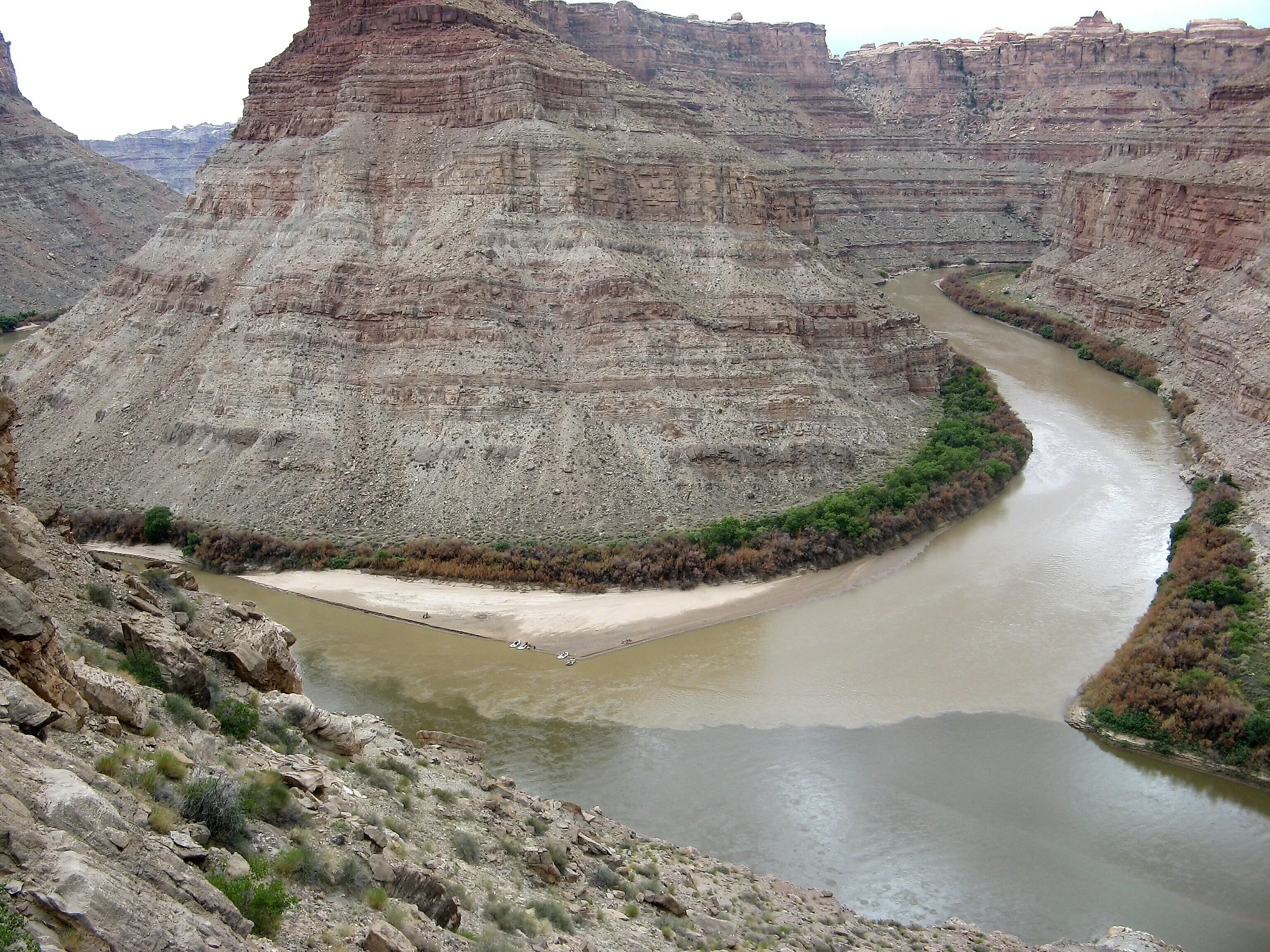
Two rivers meet in Utah’s Canyonlands National Park, and for a stretch the two are easy to tell apart by color. The Colorado runs a muddy red. The Green runs a clearer green. The difference comes down to sediment, the fine rock and silt each river carries. The sediment load keeps shifting, and so do the colors. Along some stretches the red river looks green, and the green one looks brown.
The Colorado Carries Its Red Color In Tiny Particles

Much of the red rock around Canyonlands owes its color to iron oxides, including hematite. These minerals stain sediment grains, sometimes giving a rock a strong reddish color even when iron makes up only a small part of it. As weathering breaks down the rock, runoff carries the resulting particles into washes and tributaries that feed the Colorado. Fine silt and clay can remain suspended in moving water. When enough of that material is present, it changes the river's appearance. The exact shade depends on the sediment entering the channel and how much of it the water carries.
The name Colorado refers to that longstanding appearance: in Spanish, it means colored red. Before Glen Canyon Dam trapped upstream sediment in Lake Powell, a heavy load of eroded material regularly continued through Grand Canyon.
Flaming Gorge Removes Much Of The Green's Mud

Below Flaming Gorge Dam, the Green River has already passed through a reservoir where much of its incoming sediment settles. Water released downstream carries far less suspended material than the river brings into the reservoir. In dry weather, a clear greenish current can continue into Dinosaur National Monument.
Water itself has a faint blue tint, while material within it changes the color we see. Along this reach of the Green, the reduction in suspended sediment produces a much clearer current that can appear greenish-blue. The connection is visible at the Gates of Lodore, where the Green can run green in dry conditions and become reddish or brown after tributaries deliver silt.
Flaming Gorge began regulating the Green in 1962. Before then, this reach was commonly cloudy with sediment and experienced stronger seasonal changes in flow.
The Yampa Can Turn The Green Brown

At Echo Park in Dinosaur National Monument, the Yampa enters the Green beside Steamboat Rock. The junction can show a blue-green current alongside a brown one, with a visible boundary where they meet. Here, the brown water belongs to the Yampa.
The Yampa delivers suspended sediment that the Green has largely lost behind Flaming Gorge Dam. As the currents mix, the Green downstream takes on a browner appearance. This happens well before the river reaches its eventual junction with the Colorado in Canyonlands. Smaller tributaries also change the picture. Vermilion Creek can contribute silt after heavy rain or during spring runoff, discoloring the Green upstream of Echo Park. A storm over a tributary basin can therefore change the main river's appearance even where the sky overhead has cleared.
The Colors Take Time To Mix At The Confluence

Where the Green joins the Colorado in Canyonlands, differences in suspended sediment can remain visible after the waters enter a shared channel. Mixing starts along the boundary between the currents. Swirling water moves material across that boundary, gradually blending the two flows.
Water needs time and distance to move across the channel. The relative strength of the incoming flows and the shape of the junction influence how mixing proceeds. When the rivers arrive with similar muddy colors, the meeting point can be much harder to pick out by color alone. Below the junction, the combined river continues as the Colorado. The flatwater stretches above the confluence lead toward Cataract Canyon's powerful rapids downstream. Hikers at Confluence Overlook in the Needles district see the junction about 1,000 feet below, with both river channels visible in the same view.
Glen Canyon Dam Can Make The Colorado Look Green

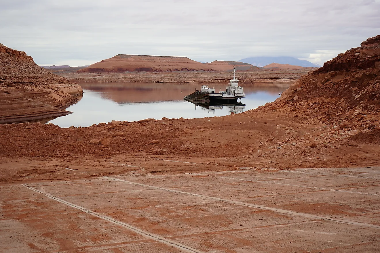
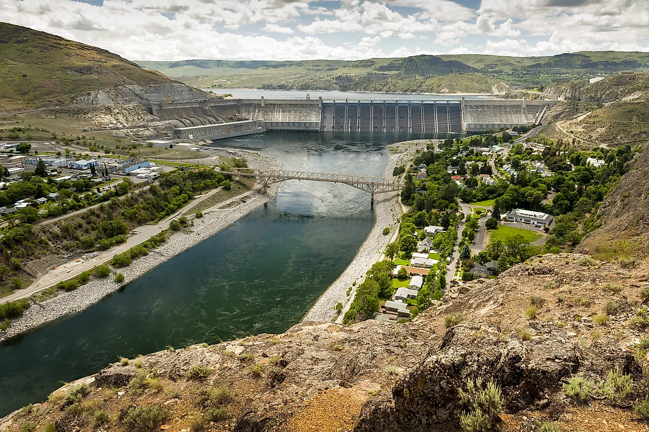
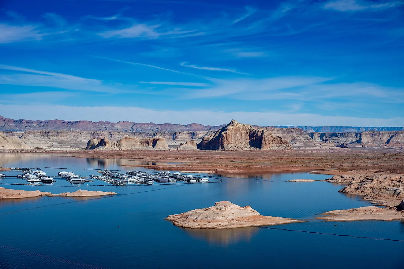
Continue downstream into Arizona, and the river named for its red color can be visibly green. Lake Powell traps much of the sediment carried in by the Colorado and its tributaries. The water released through Glen Canyon Dam is consequently much clearer than the muddy water entering the reservoir.
Feathery green algae called Cladophora contribute to the river's color below Glen Canyon Dam. Clear water allows sunlight to penetrate, supporting growth on the riverbed and a food supply for aquatic animals.
Downstream tributaries can make the Colorado muddy again. The Paria and Little Colorado rivers supply much of the sand entering Grand Canyon below the dam, with substantial deliveries during heavy rain.
The sediment behind these color changes also supplies the material for river beaches. In Grand Canyon, sand deposited during high flows creates campsites and aquatic habitat along the Colorado. Lake Powell interrupts that supply, leaving downstream tributaries to replace only part of what once arrived from upstream. Managers sometimes release extra water through Glen Canyon Dam after enough tributary sand has accumulated in the channel. The higher flows move some of that sand onto bars and beaches. These releases redistribute sand already below the dam; they do not restore the sediment trapped in Lake Powell. Wind can carry sand from these bars onto nearby archaeological sites, helping protect them against erosion.