The Single Canal That Carries The Most Colorado River Water
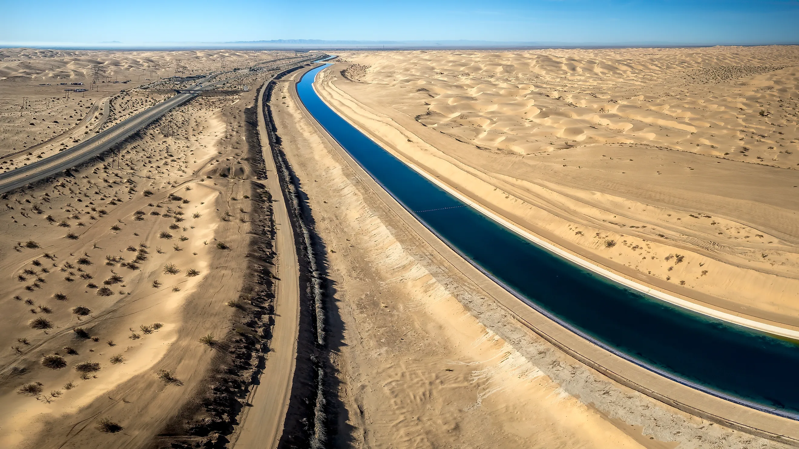
It is the All-American Canal, and the margin is not close. Roughly 3.1 million acre-feet of Colorado River water, more than a trillion gallons, moves down an 80-mile ditch in southeastern California every year to irrigate half a million acres of desert and supply nine cities. The Central Arizona Project, which is far more famous and supplies Phoenix and Tucson, carries about 1.5 million. The Colorado River Aqueduct, which supplies much of Southern California's urban population, carries about 1.2 million. The All-American moves more water than both of those combined, it is the largest irrigation canal in the world, and it does the whole thing without a single pump.
The Numbers

The canal runs 80 miles from Imperial Dam, about 20 miles northeast of Yuma, west to just beyond Calexico, paralleling the Mexican border for most of that distance. Its maximum capacity is 26,155 cubic feet per second, which works out to nearly 52,000 acre-feet in a single day.
It delivers to nine cities and 500,000 acres of farmland, and the Imperial Irrigation District that operates it holds the largest single entitlement on the entire Colorado River. That is the headline fact most people find hardest to believe: one agricultural district in one California county has a bigger claim on this river than the states of Arizona and Nevada put together.
It Runs On Gravity Alone

The engineering detail worth pausing on is what is missing from the system, which is machinery. The entire 80-mile canal is powered solely by gravity, and the total vertical drop across that distance is 175 feet. That is roughly 2.2 feet of fall per mile, a gradient so slight you would struggle to see it, and it is enough to move an ocean of water across a desert without a pump anywhere in the system.
By comparison the Central Arizona Project has to lift its water nearly 3,000 feet uphill across Arizona using a chain of pumping plants, which is why it consumes enormous quantities of electricity and the All-American does not.
Why It Is Called All-American

The name is not patriotic decoration, it is a description of the route, and it exists because the previous canal went the wrong way. Farming in the Imperial Valley began in the late 1800s using the Alamo Canal, which diverted the river at Pilot Knob, ran south across the border into Mexico, and then curved back north into California. That arrangement left an American farming region entirely dependent on infrastructure sitting in another country, which was an uncomfortable position politically and a disastrous one physically.
The All-American Canal was authorized under the Boulder Canyon Project Act, the same legislation that produced Hoover Dam, and its entire purpose was to deliver the same water without leaving the United States. Hence the name.
The Canal It Replaced Created The Salton Sea
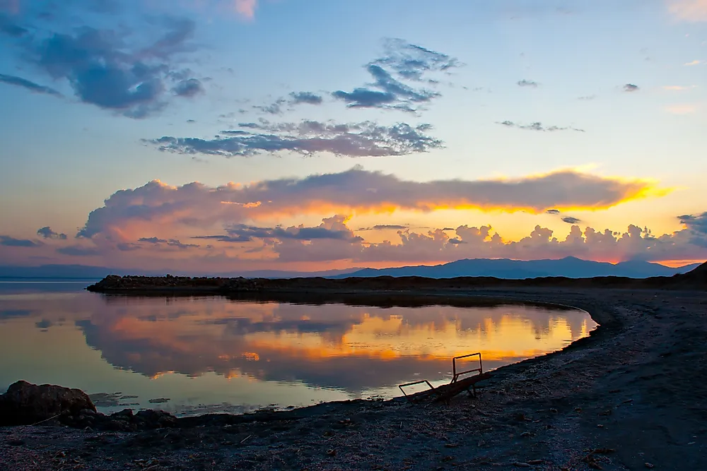
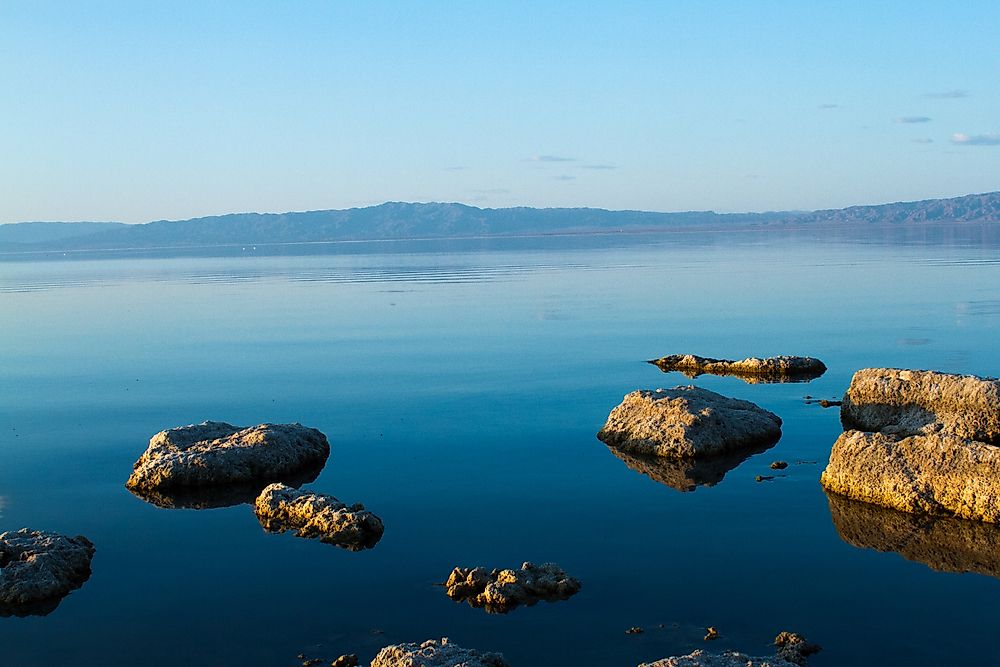
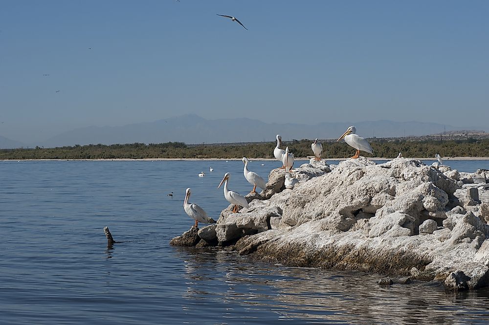
The physical argument for building a new canal is still sitting out there in the desert, about 350 square miles of it. In 1905 the Colorado broke through the Alamo Canal's headworks and the entire river poured into the Salton Sink for the better part of two years before engineers regained control. The result is the Salton Sea, California's largest lake, created entirely by an irrigation accident.
That is a fairly compelling case for better infrastructure, and the All-American Canal was the eventual answer to it.
Ninety Percent Of The River Turns Here
Imperial Dam is not a storage dam, it is a diversion structure, and the scale of what happens there is remarkable.
About 90 percent of the volume of the Colorado River is diverted into canals at this point, with total diversions capable of topping 40,000 cubic feet per second. Three desilting basins, each designed for 4,000 cfs, strip thousands of tons of sediment out of the water before it enters the canal, because a canal full of silt stops being a canal fairly quickly.
What continues downstream past Imperial Dam is a fraction of what arrived, which is a substantial part of why the Colorado no longer reliably reaches the sea.
They Had To Line It

An unlined canal in sandy desert loses water, and the All-American was losing a great deal of it. Seepage was running at roughly 67,700 to 70,000 acre-feet a year, simply soaking into the ground. Under the 2003 Quantification Settlement Agreement, the San Diego County Water Authority and the State of California funded lining a 23-mile section, and the Imperial Irrigation District built an entirely new concrete-lined canal parallel to the old one and rerouted the flow into it. Construction ran from 2007 to 2009, with the project complete by 2010.
The saved water did not stay in the Imperial Valley. It went to San Diego, which is why San Diego paid for it.
The Seepage Was Not Going Nowhere
Here is the complication that made the lining project contentious rather than obviously sensible. Water leaking out of an unlined canal for seventy years had been recharging aquifers on the Mexican side of the border and sustaining wetlands there. Lining the canal stopped that, which meant the project was not simply recovering wasted water but redirecting a supply somebody else had come to depend on.
It went to litigation and proceeded anyway. The lining project is a useful illustration of a general truth about Western water, which is that almost nothing is actually wasted, it is just being used by somebody without a legal claim to it.
It Is Also Dangerous
The canal has a grim reputation locally and it is earned. It is wide, deep, cold and considerably faster-moving than it looks, and it runs directly alongside the border for miles with steep concrete sides that are extremely difficult to climb out of.
Large numbers of people have drowned in it since it opened. In 2011 the Imperial Irrigation District allocated 1.1 million dollars to install lifesaving buoy lines across the canal at 105 separate locations.
What It Actually Waters
The Imperial Valley receives around three inches of rain a year and grows crops twelve months of the year, an arrangement possible only because of this canal.
It is one of the most productive agricultural regions in the world, supplying a large share of American winter vegetables, alongside enormous acreages of alfalfa and other cattle feed. The IID system extends well beyond the main canal itself, with more than 1,600 miles of irrigation canals distributing water across the valley.
Water that is not consumed drains north into the Salton Sea, which is why that lake's fate is tied directly to how much water this canal delivers and how efficiently the valley uses it.
The Runners-Up
For completeness, the other two major diversions are serious infrastructure in their own right and still lose this contest comfortably. The Central Arizona Project runs 336 miles from Lake Havasu to Tucson, carries around 1.5 million acre-feet, and is the largest and most expensive aqueduct system ever built in the United States. The Colorado River Aqueduct runs 242 miles from Parker Dam to Lake Mathews with a capacity near 1.2 million acre-feet, and supplies a large share of Southern California's urban water.
Add them together and you get 2.7 million acre-feet, still short of what the All-American moves on its own.
The Answer
The single canal carrying the most Colorado River water is the All-American, at roughly 3.1 million acre-feet a year, and it carries more than the Central Arizona Project and the Colorado River Aqueduct put together.
It is worth sitting with what that means. The largest claim on the most fought-over river in North America belongs not to a city or a state but to an irrigation district in a desert county, delivered down a gravity-fed ditch finished in 1940, most of it going to grow feed for cattle.