The Day Lake Peigneur Disappeared
Lake Peigneur was once a shallow freshwater lake in Iberia Parish, Louisiana, about 1,000 acres across and no more than 15 feet deep. A salt dome lay beneath most of it, and in 1980, two industries were working the site at once. A salt mine operated 1,500 feet below the lakebed, while a contractor for Texaco drilled an exploratory oil well from a rig standing in the shallows.
On November 20, 1980, the two collided. The lake drained into the mine within three hours, then refilled with salt water carried in by a canal that had reversed its flow. The disaster belongs to a wider family of collapses over salt deposits, in which an underground cavity gives way, and the surface follows it down. Similar ground failures have opened in Texas, elsewhere in Louisiana, and in Russia.
The Morning Lake Peigneur Drained

The trouble began before dawn on November 20, 1980. The exploratory well had reached more than 1,200 feet when the drill pipe jammed and the drilling mud stopped circulating. The relief crew heard popping sounds below the platform as the rig began to tilt, and the workers abandoned it while a tugboat pulled the supply barges clear. At 7:25 am, the rig overturned and vanished into water less than 11 feet deep. Directly below the lake, the salt mine's deepest workings sat about 1,500 feet down.
Around 8 am, a muddy stream came rolling through the mine's 1,300-foot level. The mine's master electrician flipped the power on and off three times, then the evacuation signal sounded, and 48 miners and three visitors from Louisiana State University reached the surface unhurt. Up top, a whirlpool about a quarter-mile across formed on the lake and pulled down barges and a tugboat. Within three hours, the lake had drained into the mine, a crater about 1,500 feet across had opened in the lakebed, and about 65 acres of shoreline had slumped below the old water level.
A Canal In Reverse And A Cause Never Found

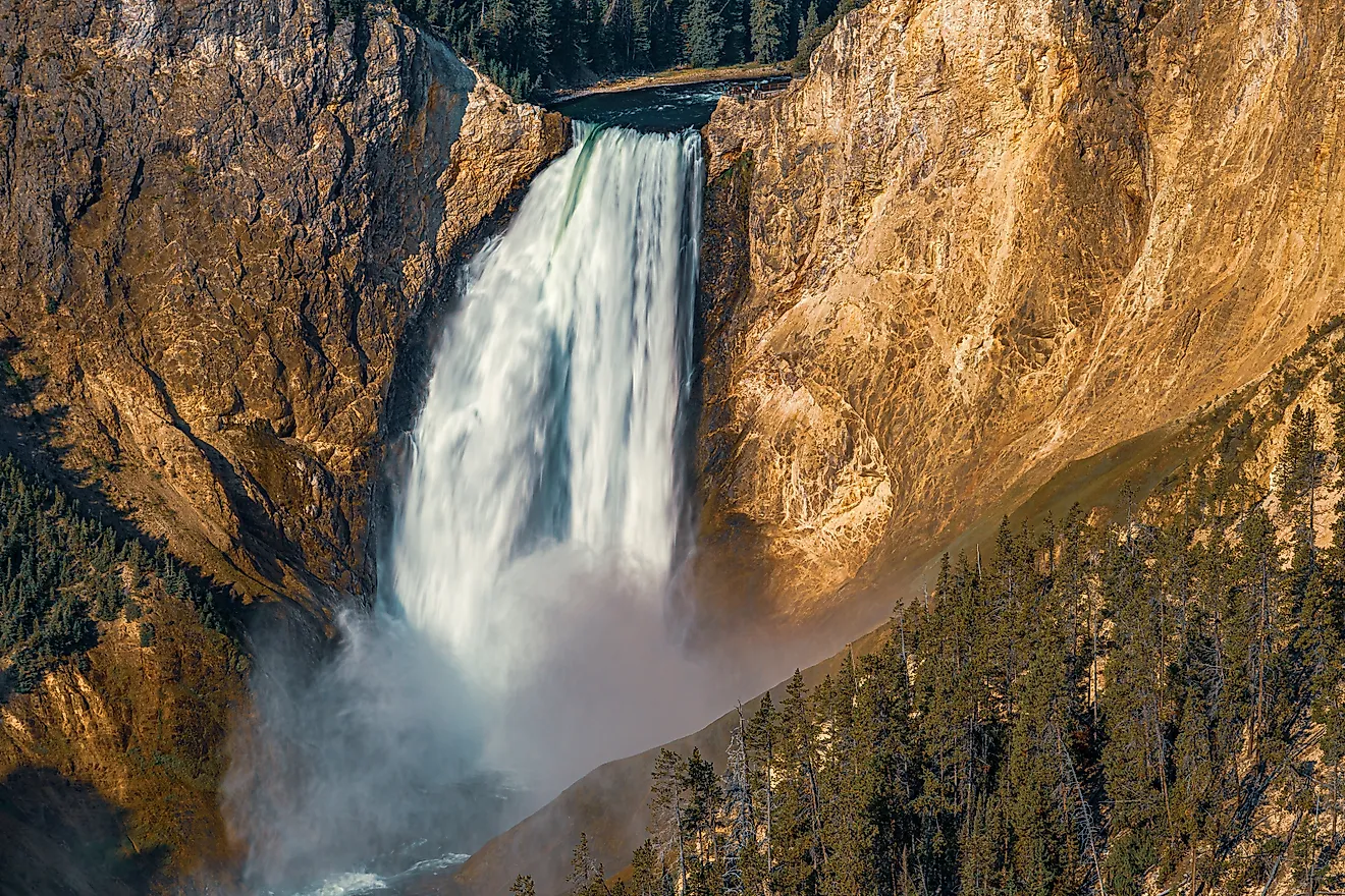
With the lake emptied, the Delcambre Canal, which normally carried Lake Peigneur's outflow toward Vermilion Bay, reversed and ran into the crater instead. About 30 shrimp boats along the canal ended up beached as its water level dropped, and a waterfall poured over the edge into the drained lakebed. By the morning of November 22, the lake was back at its normal level, and barges that had sunk into the crater later rose to the surface. The water that returned came in from the bay, and the lake has remained saline ever since.
The federal Mine Safety and Health Administration (MSHA) published its report in August 1981, but no one could enter the flooded mine, and several drilling logs had been lost with the rig. Investigators weighed three explanations: decades of mining had weakened the salt dome, drilling had triggered the failure, or both had combined. They could not determine the cause, or even which failed first. The mine never resumed underground production and formally closed in December 1986. Today, a state historical marker at Rip Van Winkle Gardens on Jefferson Island recounts the events of 1980.
How Salt Domes Give Way

Lake Peigneur sat atop one of many salt domes beneath the Gulf Coast. Salt domes form when deep layers of salt, left behind by the evaporation of ancient seas, deform under pressure and rise in columns through the overlying weaker rock. Jefferson Island was the northernmost of five salt-dome islands along the central coast of Louisiana, and similar structures are relatively common across the Texas and Louisiana coastal plains. They are valuable twice over, as a source of salt and as natural traps for oil and gas, which is how a salt mine and an oil well came to share one lake.
That value comes with a weakness, since salt dissolves in fresh water. Miners extract it either by cutting rooms into solid salt, as at Lake Peigneur, where the rooms reached 160 feet wide, or by injecting freshwater to dissolve the salt and pumping the brine back to the surface, leaving a brine-filled cavern behind. When water reaches salt it was never meant to touch, through a breached mine, an old well, or a natural fracture, it can carve out a cavity. That cavity can then climb toward the surface as its roof fails layer by layer, until the ground above collapses into a sinkhole.
Other Collapses Over Salt

Less than six months before Lake Peigneur drained, the ground opened in an oil field in Winkler County, Texas. The Wink Sink formed on June 3, 1980, and within 24 hours, it had widened to about 360 feet. Geologists traced it to a cavity dissolved in salt beds more than 1,300 feet down, and an oil well drilled in 1928 sat inside the sinkhole. In May 2008, a sinkhole about 560 feet across swallowed trees, power poles, and heavy equipment in Daisetta, on the edge of the Hull salt dome, and a second sinkhole opened at the same site in 2023.
Louisiana saw another salt dome failure in August 2012, when a sinkhole opened near Bayou Corne in Assumption Parish. A brine cavern operated by Texas Brine inside the Napoleonville salt dome had collapsed after the dome's outer wall gave way, and about 350 residents were ordered to evacuate, an order not lifted until 2016. In the Perm region of Russia, a potash salt mine beneath the city of Berezniki flooded with brine in 2006 and closed for good. Sinkholes then opened above the old workings, and in 2010, one swallowed a railway boxcar at the city's train station.
A Lake Remade By The Salt Below
Lake Peigneur emptied in about three hours and refilled in two days, and no one died, neither the rig crew on the water nor the miners working far below. The lake that came back was salty, fed by a canal running in reverse, and the exact cause of the collapse was never proven. Salt lies beneath towns and industry far from Lake Peigneur, and the sinkholes at Wink, Daisetta, Bayou Corne, and Berezniki show how quickly that ground can fail once water finds a way in.