The Columbia River Carries Ten Times What The Colorado Does
On the USGS-derived list of American rivers by discharge, the Columbia sits fourth at 273,000 cubic feet per second and the Colorado sits thirty-eighth at 22,000. That is a gap of 34 places and a ratio of 12.4 to one, which means the ten times in the headline is the conservative reading. Measured against the Colorado's long-term natural flow the Columbia carries 13 times as much, and against its post-2000 average closer to 16. One river waters seven states and two countries. The other is the fourth largest in America and nobody argues about it.
The Columbia At Its Worst Nearly Matches The Colorado At Its Best

The sharpest version of this comparison uses the extremes rather than the averages.
The lowest flow ever recorded on the Columbia is 12,100 cubic feet per second. The Colorado's average is around 22,000. So the Colorado on an ordinary day carries less than twice what the Columbia manages on the worst day in its recorded history.
Put the other way, the Columbia would have to lose 95 percent of its flow before it stopped embarrassing the Colorado.
The Peak Is Fifty-Six Times The Colorado

Running it in the opposite direction produces a number that stops making sense.
The highest flow ever measured on the Columbia was 1,240,000 cubic feet per second at The Dalles in June 1894. That is 56 times the Colorado's entire average flow, passing a single point in Oregon.
The Colorado has never done anything remotely comparable, and under current management never will.
Both Rivers Are Fed By Snow

The explanation is not that one river is better engineered. They work the same way, and one has far more to work with.
Both are snow-charged rivers collecting mountain snowmelt and carrying it toward an ocean. The Columbia drains 258,000 square miles across seven states and British Columbia. The Colorado drains about 246,000 square miles across seven states and Mexico.
The basins are nearly the same size. The flows differ by more than twelve times, which means the difference is entirely about how much falls on them.
One Basin Is Wet And One Is Not
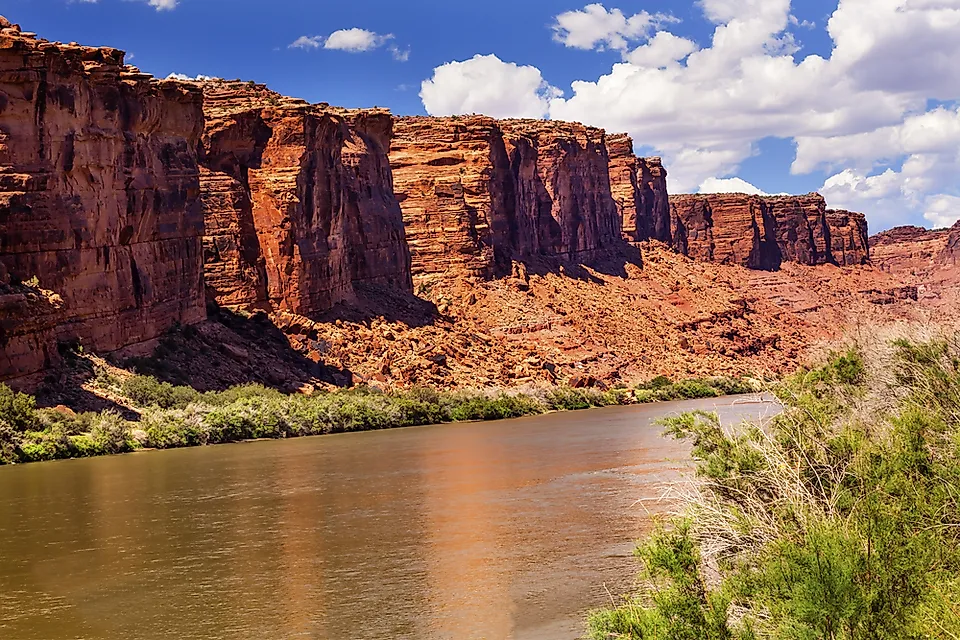
Here is where the whole comparison resolves, and it is simpler than the hydrology makes it sound.
Precipitation across the Columbia basin ranges up to 110 inches a year on the western slopes of the Cascades. The Colorado basin is mostly arid and semi-arid, with much of its lower course crossing desert that receives under 10.
Two basins of similar size, one catching Pacific storms head on and the other sitting in the rain shadow of everything. The rivers are just the receipts.
Only One Of Them Reaches The Sea
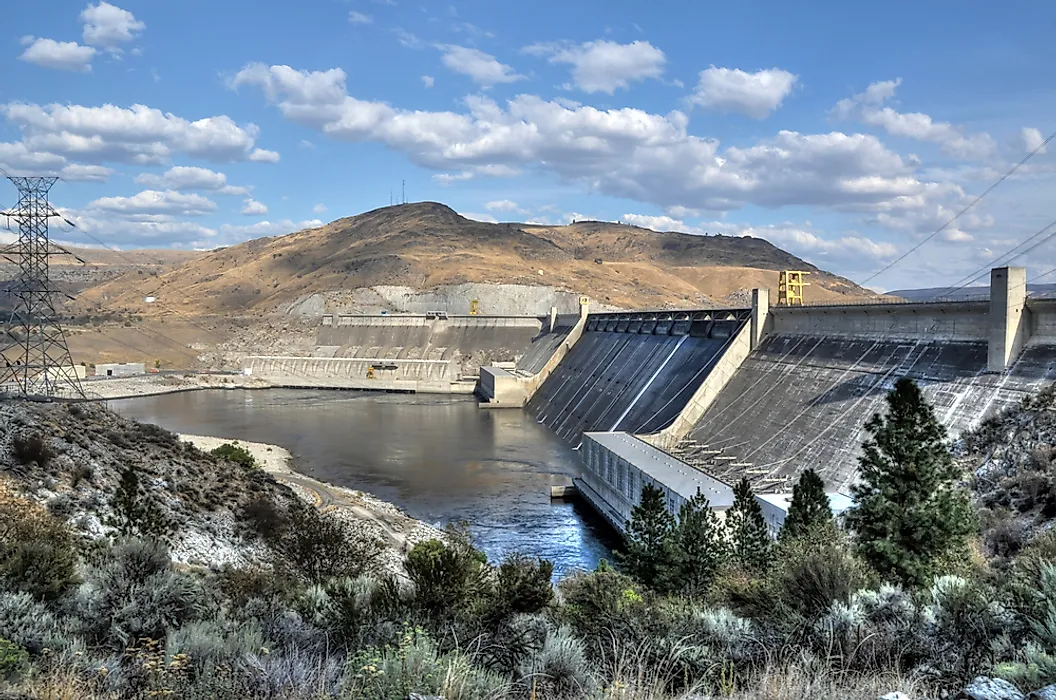
The most telling difference is not a number at all.
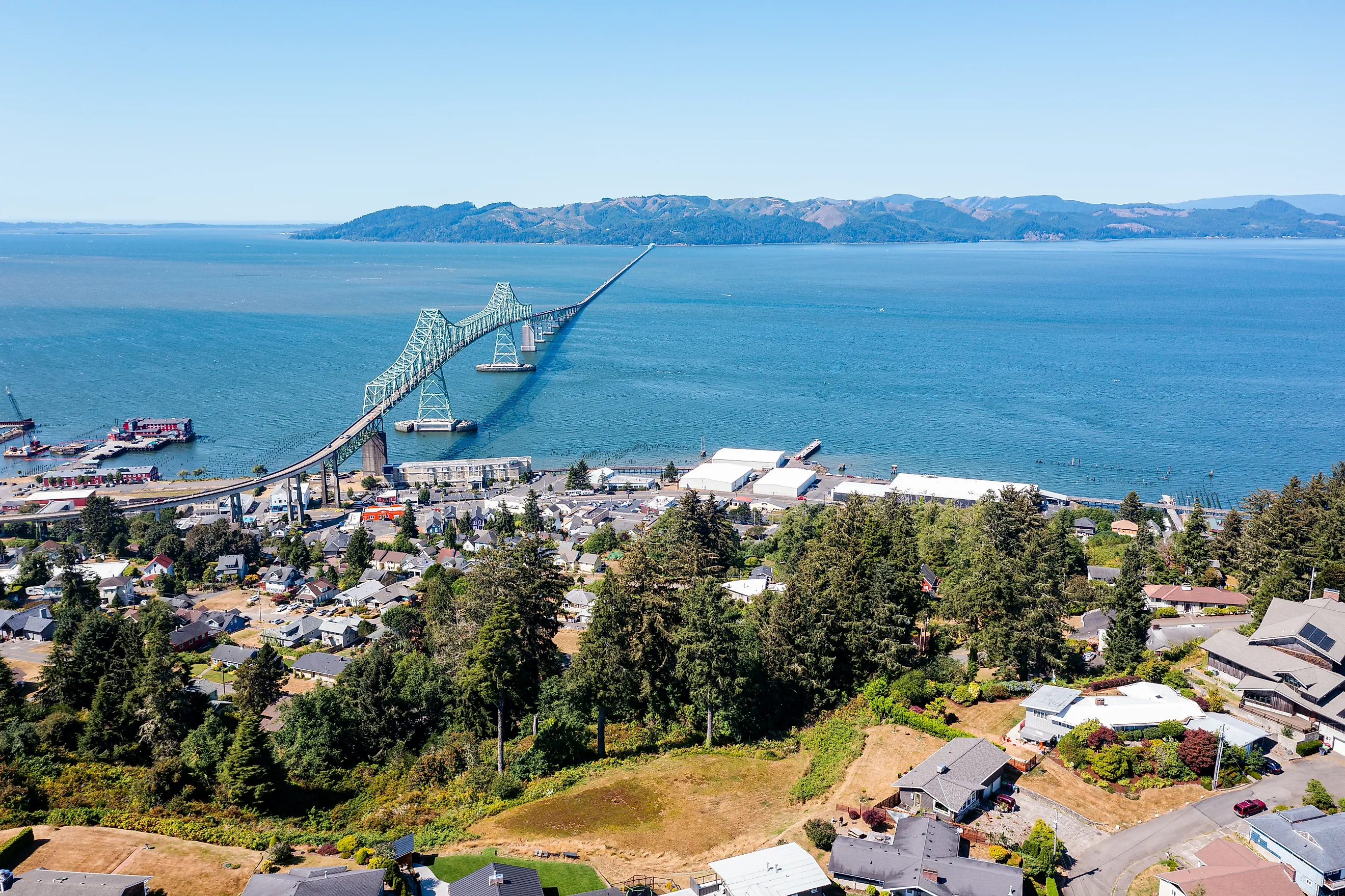
The Columbia discharges 265,000 cubic feet per second into the Pacific at Astoria, more than any other river draining to the Pacific from North America. The Colorado has not reliably reached the Gulf of California since the 1960s, and its delta is dry.
One river is measured at its mouth. The other is measured by what is left before it disappears.
The Allocation Problem Is Unique To One
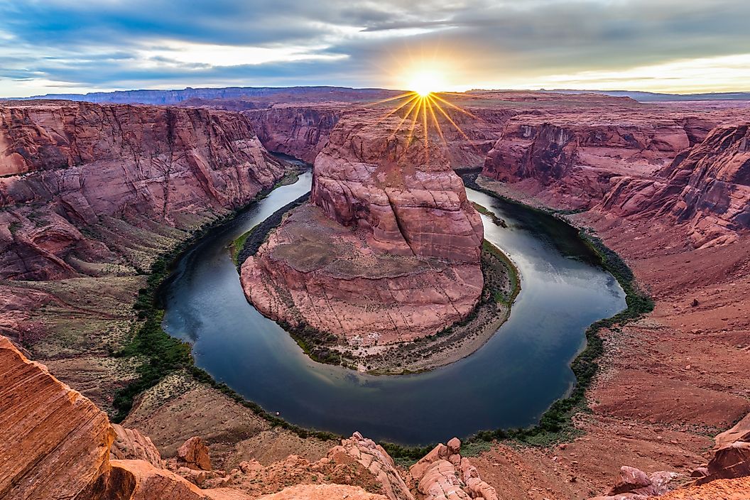
The reason this comparison matters beyond trivia is that the smaller river is the one everybody is arguing about.
The Colorado has 16.5 million acre-feet of annual allocations against a long-term natural flow of 14.6 and a post-2000 average of 12.3. Forty million people depend on a river running a structural deficit written into law in 1922.
The Columbia has a treaty with Canada, substantial dam infrastructure and genuine salmon problems, but it does not have an arithmetic problem. There is enough water in it.
The Columbia Produces Far More Power

Volume and gradient together determine hydropower, and the Columbia has both in quantity. It is the largest hydroelectric-producing river in North America, with fourteen dams across two countries. Grand Coulee alone is the largest power station in the United States.
Hoover Dam on the Colorado is more famous and produces a fraction of the output, which is a reasonable summary of the two rivers generally.
Tributaries Tell The Story Too
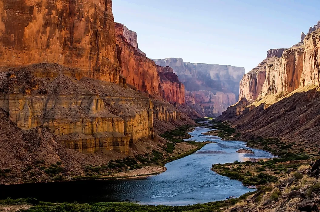
Comparing the feeder rivers makes the gap concrete in a way a basin map never does.
The Snake River, just one Columbia tributary, averages 55,000 cubic feet per second. The Willamette manages 37,400 and the Pend Oreille 27,000.
Each of those three carries more water than the entire Colorado River. The Columbia has more than sixty significant tributaries.
Length Has Nothing To Do With It
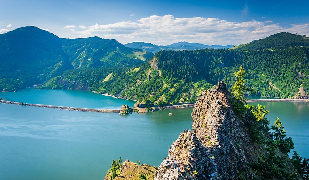
The two rivers are almost exactly the same length, which is the detail that makes the flow gap so striking.
The Columbia runs 1,243 miles and the Colorado 1,450. The Colorado is the longer river by 200 miles and carries a twelfth of the water.
Length measures how far a river travels. Volume measures how much the sky gave it on the way, and those are unrelated questions.
The Short Answer

The Columbia carries at least twelve times what the Colorado does and closer to sixteen against the Colorado's recent average, from a basin of almost identical size. The ten in the headline is rounding downward.
The difference is rainfall, not engineering. One basin catches Pacific storms against the Cascades and the other sits in a rain shadow. Which is why the longer river, the more famous river, the one that carved the Grand Canyon, is thirty-fourth on the list behind a river most Americans could not place on a map.