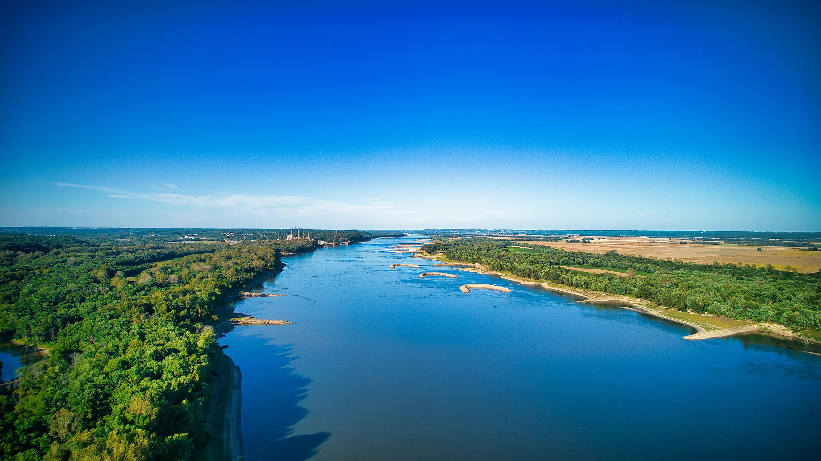
The Longest Stretch Of The Mississippi With No Bridge
The longest stretch of the Mississippi River without a bridge is the 131 river miles between the Helena Bridge, the US 49 crossing at Helena, Arkansas, and the Greenville Bridge, the US 82 crossing at Greenville, Mississippi. Measured along the navigation channel from River Mile 661.8 to River Mile 530.8, it's the widest gap between any two bridges, road or rail, on the whole of the Mississippi River.
No ferry runs here either, so if anyone wants to cross it… well, they can't. Here's what those 131 miles contain, and why no bridge has ever spanned them.
Measuring the Gap

The 131-mile figure all boils down to the work of bridge researcher John A. Weeks III. Between 2005 and 2011, he documented every crossing on the Mississippi using National Bridge Inventory records, and his survey placed the Helena Bridge at River Mile 661.8 and the Greenville Bridge at River Mile 530.8. The U.S. Army Corps of Engineers uses the same mileage on its navigation charts, therfore both endpoints are fixed points that towboat pilots steer by.
The Corps' own count confirms how thinly bridged this part of the river is. A Mississippi Valley Division navigation bulletin lists 12 fixed bridges between the Ohio River confluence below Cairo and Baton Rouge: four at Memphis, two each at Vicksburg, Natchez and Greenville, and one apiece at Caruthersville, Helena and just above Baton Rouge.
A Tale of Two Bridges

The upstream end of the gap is, by John Weeks' count, the least-used highway bridge on the Lower Mississippi. The Helena Bridge opened in July 1961, a 5,204-foot continuous steel truss with a 28-foot-wide, two-lane deck and no shoulders, standing 119 feet above the water. It costed $14 million and opened as a toll bridge until the construction bonds were paid off, replacing a ferry that had linked Helena with Lula, Mississippi.
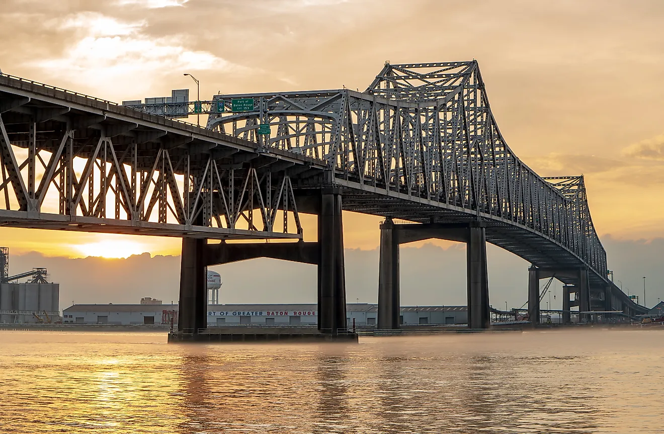
At the downstream end of the gap is the Greenville Bridge, one of the newest and longest structures on the river. Officially known as the Jesse Brent Memorial Bridge, it opened in August 2010 between Refuge, Mississippi, and Shives, Arkansas. Built as a cable-stayed bridge, its dimensions at 13,560 feet long with a 1,378-foot main span are impressive. So impressive, in fact, that when it opened, it was the fourth-longest cable-stayed bridge in North America.
Between the two, the river runs past Phillips and Desha counties in Arkansas and Coahoma, Bolivar and Washington counties in Mississippi. Along the way, it takes in two major tributaries without a single crossing.
The Bridge That Might Change Things
A bridge has been on paper for the lower third of this 131-mile gap for more than four decades. The Charles W. Dean Bridge, named for the engineer who proposed it in 1984, would take the planned extension of Interstate 69 across the Mississippi between Arkansas City, Arkansas, and Benoit, Mississippi, at River Mile 566, 96 river miles below the Helena Bridge and 35 above the Greenville Bridge.
The design calls for a 4.25-mile crossing with a 1,500-foot cable-stayed main span hung from two 450-foot towers, at an estimated cost of $565 million. The Federal Highway Administration signed a record of decision approving the route in 2004, and the Arkansas State Highway and Transportation Department began buying right-of-way in October 2006. In January 2017, the department described the Arkansas portion, including the bridge, as "shovel ready" pending federal funding.
Despite this preparedness, not a penny of construction money has followed. The Mississippi Department of Transportation says no major work on its section of I-69 is expected for the time being, and the Arkansas side of the corridor is on hold apart from a short segment near Monticello. Until that changes, US 278 continues to reach Mississippi by way of the Greenville Bridge, and the 131-mile gap stands.
Close But No Cigar

Although three other gaps come up in discussions about unbridged sections of the Mississippi, none matches the gap between Helena and Greenville. One extends from the Caruthersville Bridge, opened in December 1976 for Interstate 155 at River Mile 838.7, up to the Cairo Mississippi River Bridge, built in 1929 just above the Ohio confluence. At 115 river miles, it's not only shorter, but it also fails because the Dorena-Hickman Ferry between Missouri and Kentucky operates within the gap.
South of the gap, the Natchez-Vidalia Bridge at River Mile 363.3 and the John James Audubon Bridge at River Mile 262 are 101 river miles apart. Until the Audubon Bridge opened in May 2011, replacing the New Roads to St. Francisville ferry, the next span below Natchez was the Huey P. Long Bridge at Baton Rouge.
The stretch most often cited for the Upper Mississippi, between the Marquette-Joliet Bridge at Prairie du Chien and the Dubuque-Wisconsin Bridge, measures 53 miles, and the Cassville Ferry crosses in the middle of it. Greenville to Vicksburg, a stretch of 100 river miles between the two cities, is longer than any gap north of the Ohio.
A Bridge Too Far

Twelve bridges spread over a 720-mile section of the Mississippi is a thin scattering for a river that moves a large share of the nation's grain and petroleum traffic. The 131-mile section between Helena and Greenville helps explain why.
The channel shifts, the banks cave, the floodplain runs miles wide, and the towns that once stood on the water have either vanished or been left high and dry. Anyone who crosses at Helena crosses again at Greenville as they drive the Great River Road between the two. When they do, they'll have seen the last long stretch of the big river yet to be tamed.