Why The Columbia River Flows Through A Desert
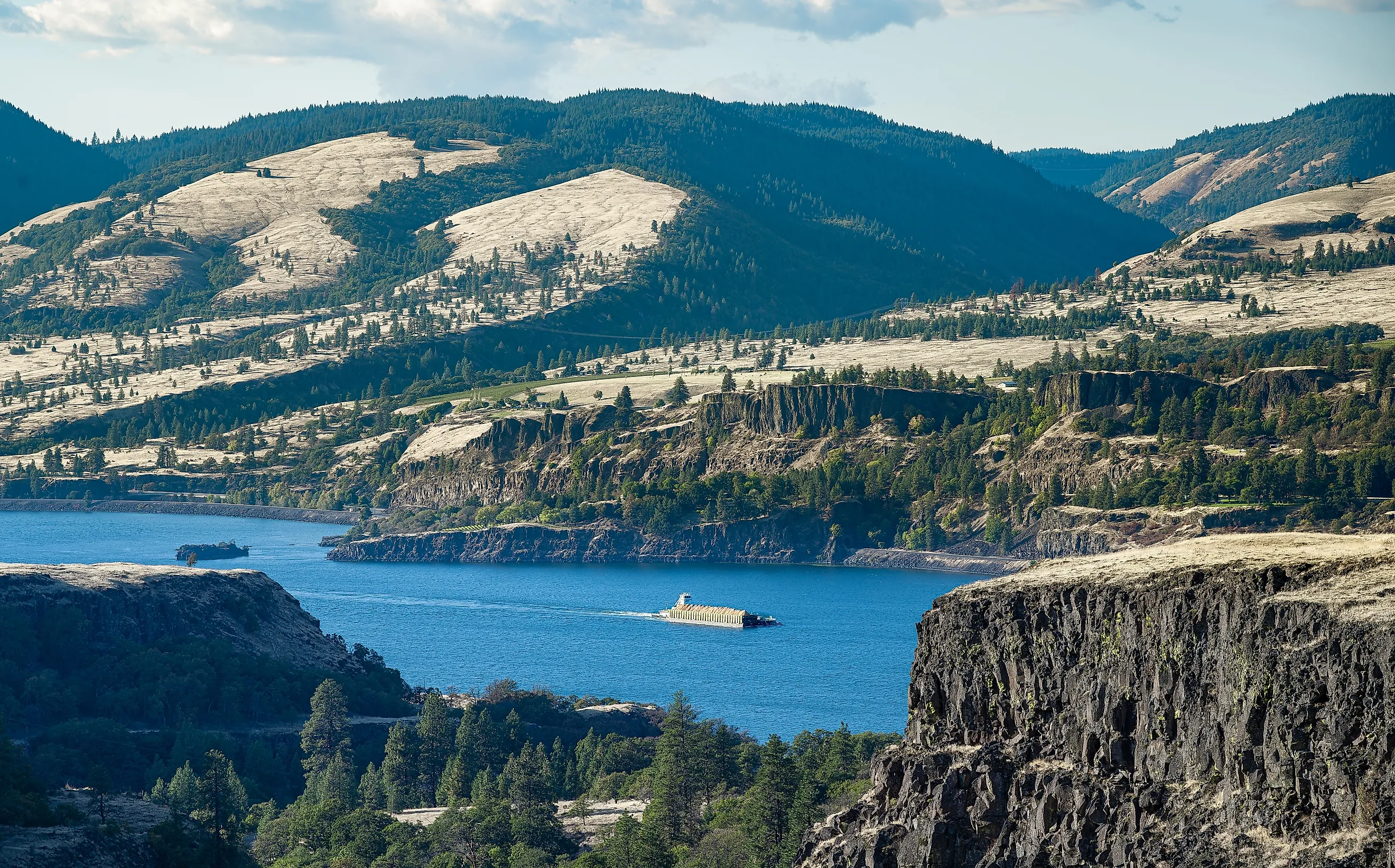
The Cascade Range started rising about 7 million years ago. The Columbia River was already there. As the mountains grew, the river cut down fast enough to keep pace, which is why it still runs through them at near sea level rather than around them. The same range that the Columbia defeated also casts the rain shadow that turned the plateau behind it into a desert. So the river crosses an arid basin it helped create the conditions for, carrying water from somewhere else entirely.
The River Predates The Mountains

This is the part that answers the question properly, and it reverses the usual assumption about rivers and mountains.
When the Cascades began to rise in the late Miocene, the Columbia was already draining the then relatively low Columbia Plateau. As the range grew, erosion by the river kept pace with uplift, carving out the gorge and the pass that exist today.
A river that establishes its course before the mountains rise and then cuts down through them as they lift is called antecedent. The Columbia is the textbook North American example.
The Gorge Is The Only Sea-Level Route

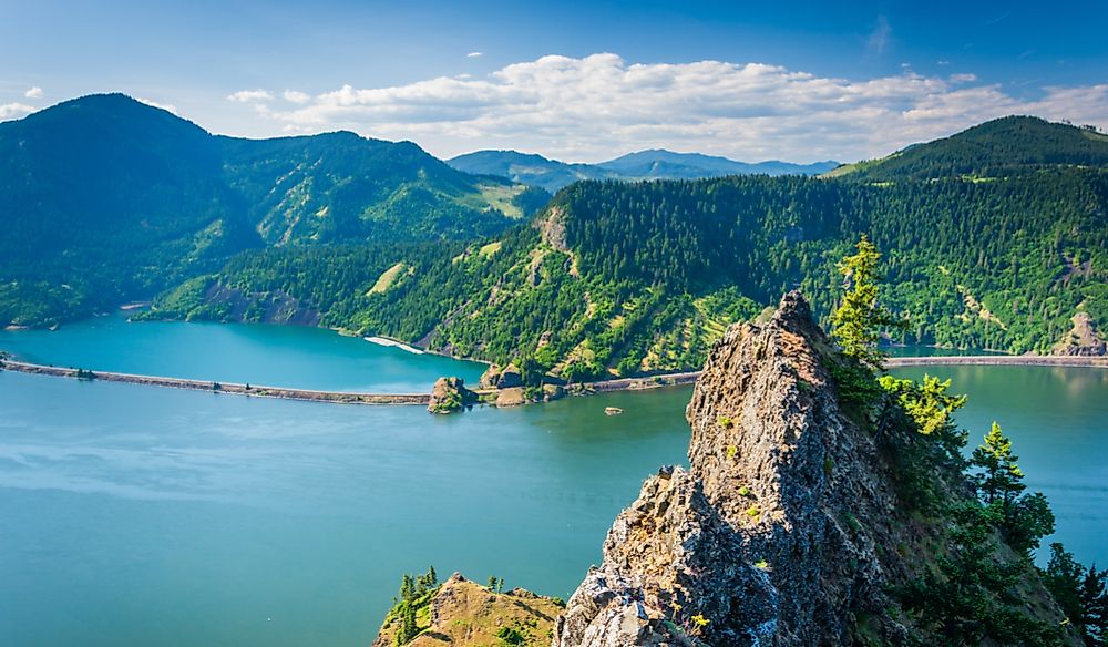
What that cutting produced is close to unique on the continent. The Columbia River Gorge is the only major break in the Cascade Range in the United States, a canyon 80 to 100 miles long and up to 4,000 feet deep. It gives the Columbia the distinction of being the only Pacific-bound river to cut through the western mountains at near sea level.
Only four rivers connect watersheds east of the Cascades to the Pacific at all: the Columbia, the Klamath, the Pit and the Fraser. Each had to carve its own gorge to do it.
The Rain Shadow Does The Rest

The desert the river crosses is a direct product of the barrier it broke through.
Pacific air arrives on prevailing westerlies and is forced up the western slopes, dropping enormous precipitation on the way. Mount Baker set the American single-season snowfall record at 1,140 inches, and parts of the range take annual accumulations approaching 1,000 inches of snow.
By the time that air crests and descends the eastern side it has little left. Annual rainfall on the eastern foothills falls to about 9 inches.
Eighty Miles From Rainforest To Grassland

The gradient is steep enough to be visible from a car window, and the gorge is the best place to watch it happen.
Across 80 miles the gorge transitions from about 100 inches of annual precipitation at its western end to around 10 at its eastern end. The west end is temperate rainforest at 75 to 100 inches. The east end is grassland at 10 to 15.
Between Hood River and The Dalles sits a transitional dry woodland, which is the seam where one climate hands over to the other.
It Is A Cold Desert, Not A Sandy One

The terminology matters because the landscape looks nothing like most people's idea of a desert.
Ecologists classify the Columbia Basin as shrub-steppe rather than true desert, and the Snake-Columbia shrub steppe covers 218,077 square kilometers under cold desert and cold semi-arid climate classifications.
What that means on the ground is sagebrush, bunchgrass, basalt outcrops and coulees rather than dunes. Hot dry summers, cold winters, and water determining everything.
The Water Comes From Canada
An arid basin cannot supply a major river, which is why the Columbia's source sits nowhere near the desert it crosses.
The river rises at Columbia Lake in southeastern British Columbia at 2,656 feet, flows north for 200 miles along the east side of the Selkirks before turning south, and reaches Washington already large. It is a snow-charged river, fed by mountain snowpack rather than by rainfall on its middle course.
Precipitation across the basin ranges from 110 inches a year to 6. The river collects at the wet end and spends the middle of its journey crossing the dry end.
The Basalt Came First Of All

Underneath both the desert and the river sits a third piece of geology that shaped each of them.
The Columbia Plateau was largely formed between 17 and 14 million years ago by the repeated lava flows of the Columbia River Basalt Group. Those flows built the flat, hard, layered foundation the whole basin sits on.
Basalt is why the river runs in steep-sided gorges through the middle of its course, dropping more than five feet per mile in the basalt-lined sections against an average of two.
Then The Floods Rearranged It
The final shaping event was catastrophic and recent in geological terms. Near the end of the last ice age, the Missoula floods repeatedly tore across the region, creating the channeled scablands of eastern Washington, enlarging the Columbia River Gorge and cutting many smaller tributary canyons.
The scablands are the clearest evidence, stripped-bare basalt crossed by dry coulees that once carried water in volumes no modern river approaches.
Which Is Why The Dams Are There
A high-volume river crossing dry, flat, farmable land with a steep gradient is an irrigation and hydropower proposition, and it was treated as one.
The Columbia River Basin is the most hydroelectrically developed river system in the world. Grand Coulee Dam lifts water into the basin to irrigate land that receives well under 10 inches of rain.
Before the dams the river plunged over basalt cliffs and rapids through the gorge. Today it provides a near sea-level pathway through the mountains instead.
The Short Answer

The Columbia flows through a desert because it was there before the desert was. It established its course across a low basalt plateau, the Cascades rose across its path about 7 million years ago, and the river cut down as fast as the mountains went up.
Those mountains then blocked the Pacific moisture that would have watered the plateau, dropping eastern foothill rainfall to around 9 inches a year. The river does not depend on that rainfall. Its water arrives as snowmelt from British Columbia and the Rockies, which is why a major river crosses an arid basin without the two having much to do with each other.