The Longest Rivers in North America
North America's rivers drain a continent, carrying meltwater, rain, and sediment off the Rockies, the Appalachians, and the vast interior plains toward three different oceans. Ranking them by length sounds simple, but it is one of the trickier questions in geography. A river's measured length depends on where you decide its source is, where you call the mouth, and whether you follow a single named channel or trace the longest continuous path through a whole network of tributaries. Most published lengths are careful estimates, not exact figures, and reputable sources routinely disagree by tens or even hundreds of kilometers. With that caveat in mind, here are the longest rivers and river systems in North America, beginning with the giant that drains the middle of the continent.
Why the Rankings Never Quite Agree
Three decisions drive almost every disagreement over river length. The first is the source: a river usually has many headwater streams, and choosing the most distant one rather than the stream that carries the river's name can add hundreds of kilometers. The second is the mouth, which matters most for rivers that end in broad deltas or estuaries where the end of the river is a matter of definition. The third, and the biggest one here, is whether you measure a single named river or an entire river system. Several entries on this list, including the top two, are not single rivers at all but the longest continuous flow traced through a chain of connected rivers. The Mississippi-Missouri-Jefferson is really three rivers measured end to end. Read that way, the headline numbers make sense; read as single rivers, the ranking would look very different.
Mississippi-Missouri-Jefferson

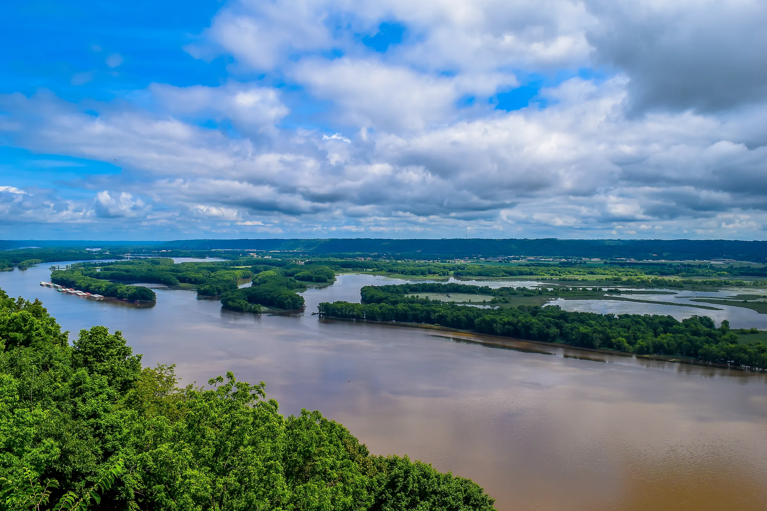
At roughly 6,275 kilometers (3,900 miles), the combined Mississippi-Missouri-Jefferson is the longest river system in North America and the fourth-longest on Earth. The name captures the nuance, because no single river runs the whole distance. The measurement follows the Jefferson's headwaters in Montana into the Missouri, which at about 3,767 kilometers (2,341 miles) is the longest single river on the continent, then into the Mississippi, which carries the combined flow the final stretch to the Gulf of Mexico. The Mississippi measured on its own, starting at Lake Itasca in Minnesota, runs about 3,766 kilometers (2,340 miles). Together the network drains roughly 3.2 million square kilometers across 31 US states and two Canadian provinces, the third-largest drainage basin in the world.
Mackenzie-Slave-Peace-Finlay
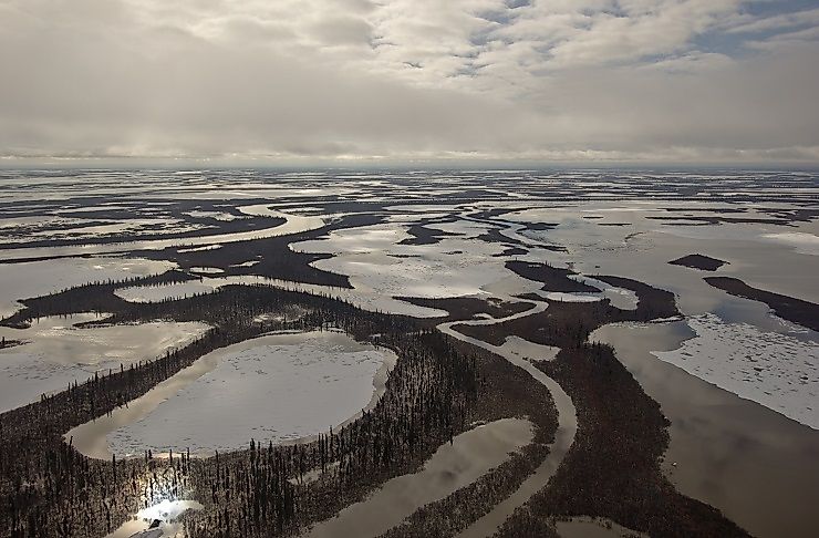
Canada's longest watercourse is another composite. Measured from the headwaters of the Finlay River in British Columbia, through the Peace and Slave rivers and finally the Mackenzie itself, the whole system runs about 4,241 kilometers (2,635 miles), the second-longest in North America and the longest in Canada. The nuance matters here: the Mackenzie River proper, the broad channel that flows north out of Great Slave Lake to the Beaufort Sea, is only about 1,738 kilometers (1,080 miles) long. The rest of the distance comes from the upstream tributaries. The Finlay feeds the Peace, the Peace joins the Athabasca to form the Slave, and the Slave empties into Great Slave Lake, where the Mackenzie begins. The system drains about 1.8 million square kilometers, close to a fifth of Canada, and delivers roughly a tenth of all the freshwater entering the Arctic Ocean.
The Yukon

The Yukon is the longest entry on this list that is a single river rather than a system. It rises from a glacier at the head of Atlin Lake in British Columbia, runs through the Canadian territory that took its name, and crosses central Alaska before emptying into the Bering Sea, a total of about 3,190 kilometers (1,980 miles). Its basin covers roughly 854,000 square kilometers. The Yukon carries one of the longest salmon runs on Earth, and in 1896 a gold strike on its tributary the Klondike set off the stampede that soon filled the river with paddle steamers. Different agencies put its length at 3,185 or 3,190 kilometers depending on whether they start at the Canadian source or the American mouth, a small illustration of the estimate problem.
St. Lawrence and the Great Lakes
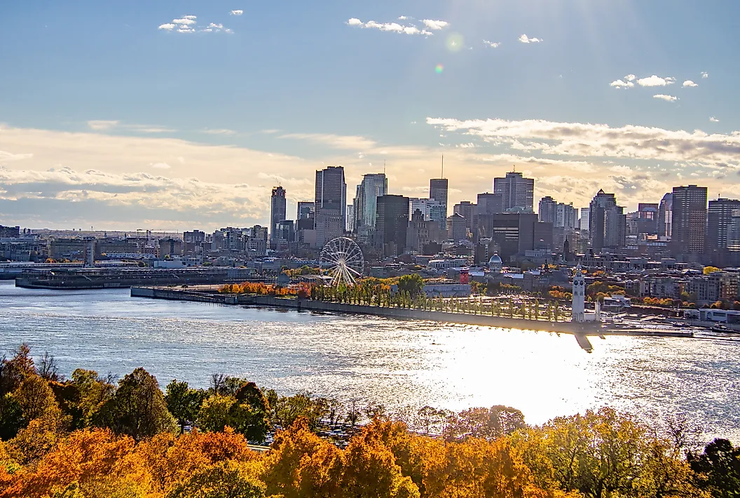
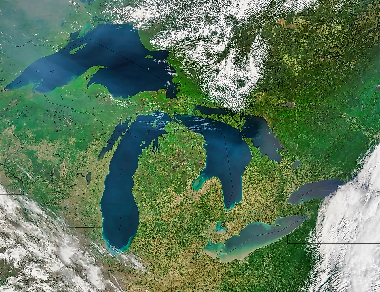
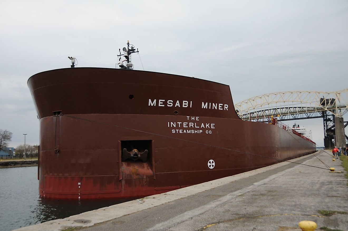
The St. Lawrence shows the widest gap between a river and its system. The St. Lawrence River proper, the channel that carries the outflow of Lake Ontario northeast to the Gulf of St. Lawrence, is only about 1,197 kilometers (744 miles) long. Measured as the Great Lakes-St. Lawrence system, though, tracing the water all the way back to the St. Louis River at the head of Lake Superior, the length reaches about 3,058 kilometers (1,900 miles), enough for fourth place. The system drains close to a million square kilometers and connects the chain of five Great Lakes, which together hold roughly a fifth of the world's surface fresh water. It has been the commercial spine of the northeast since Jacques Cartier sailed up it in the 1530s, and today the St. Lawrence Seaway lets oceangoing ships reach inland ports more than a thousand kilometers inland from the Atlantic.
The Rio Grande

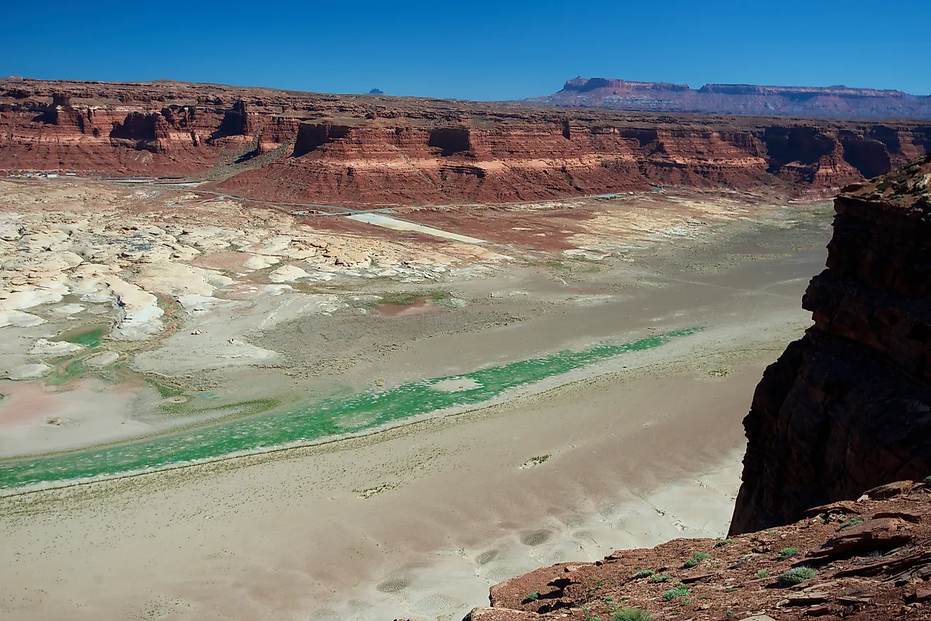
The Rio Grande completes the top five at about 3,057 kilometers (1,900 miles), all but tied with the St. Lawrence system. It begins in the San Juan Mountains of southern Colorado, cuts through New Mexico, and then forms the entire Texas-Mexico border on its way to the Gulf of Mexico. It is a single river, but its length is unusually hard to pin down for a different reason: so much water is drawn off for irrigation and cities that long stretches run shallow or dry, and the channel itself shifts. Estimates range from about 3,034 to 3,057 kilometers. Its basin covers roughly 570,000 square kilometers across two countries, and in the arid Southwest the river is less a transport route than a lifeline that both nations manage under longstanding treaties.
Rounding Out the Top Ten

Below the top five, the list moves into the 2,000-to-2,600-kilometer range. The Nelson-Saskatchewan system (about 2,570 kilometers) drains the Canadian prairies into Hudson Bay and, like the leaders, is a composite rather than one river. The Arkansas (about 2,348 kilometers) and the Red (about 2,188 kilometers) are both major tributaries of the Mississippi, so their water ultimately reaches the Gulf of Mexico through the larger system. The Colorado (about 2,333 kilometers) carved the Grand Canyon and is so heavily dammed and diverted that it frequently no longer reaches its mouth at the Gulf of California. The Columbia (about 2,250 kilometers by one common measure, less by others) sends more water to the Pacific than any other river in the Americas outside the tropics. Just beyond the top ten sit the Ohio and the Snake, each a tributary large enough to rank as a major river anywhere else.
Why These Rivers Matter
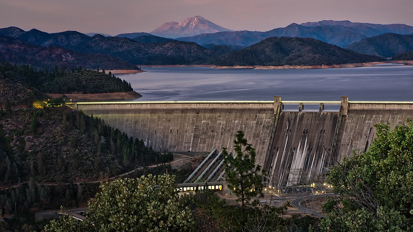
For all the debate over exact lengths, the importance of these rivers is not in dispute. They supply drinking water to tens of millions of people and irrigation to some of the most productive farmland on Earth. They remain working highways: the Mississippi is among the busiest commercial waterways in the world, and the St. Lawrence Seaway links the industrial heart of the continent to global shipping. Dams along the Columbia, the Colorado, and the Peace generate enormous amounts of hydroelectric power. The rivers also shape ecosystems and even climate, moving the sediment that builds coastlines and the freshwater that helps steer ocean currents. And several draw millions of visitors a year to their canyons and rapids, whether the desert gorges of the Rio Grande or the whitewater of the southern Appalachians. The lengths are estimates. The consequences are concrete.
The Longest Rivers in North America
| Rank | River or System | Length (km) | Length (mi) | Outflow | Type |
|---|---|---|---|---|---|
| 1 | Mississippi-Missouri-Jefferson | 6,275 | 3,900 | Gulf of Mexico | River system |
| 2 | Mackenzie-Slave-Peace-Finlay | 4,241 | 2,635 | Arctic Ocean | River system |
| 3 | Yukon | 3,190 | 1,980 | Bering Sea | Single river |
| 4 | St. Lawrence-Great Lakes | 3,058 | 1,900 | Gulf of St. Lawrence | River system |
| 5 | Rio Grande | 3,057 | 1,900 | Gulf of Mexico | Single river |
| 6 | Nelson-Saskatchewan | 2,570 | 1,600 | Hudson Bay | River system |
| 7 | Arkansas | 2,348 | 1,459 | Mississippi River | Single river |
| 8 | Colorado | 2,333 | 1,450 | Gulf of California | Single river |
| 9 | Columbia | 2,250 | 1,398 | Pacific Ocean | Single river |
| 10 | Red | 2,188 | 1,360 | Mississippi River | Single river |
| 11 | Ohio | 2,102 | 1,306 | Mississippi River | Single river |
| 12 | Snake | 1,670 | 1,038 | Columbia River | Single river |
A Continent Shaped by Water
Rank these rivers strictly and the list rewards the composite systems, the long chains of tributaries that thread out of mountain headwaters toward distant seas. Judge them as single rivers and the Missouri, the Yukon, and the Rio Grande stand out on their own. Either way, the same handful of watersheds emerges: the Mississippi draining the interior, the Mackenzie the north, the St. Lawrence the northeast, and the Colorado and Columbia the west. Between them they gather the runoff of most of the continent and deliver it to five different ocean basins. The exact kilometer counts will keep shifting as measurement improves. The rivers will keep doing what they have always done.