Sabine River
Sabine River is a long river that flows in the southern part of the United States in Texas and Louisiana. The river serves as a border between Texas and Louisiana and eventually drains into Sabine Lake, an estuary on the Gulf of Mexico. Sabine River is ranked as the 33rd biggest river in the US and is famous for its strong flow compared to its length, where it discharges the largest volume of water at its mouth of all Texas rivers. Moreover, the Sabine River basin has the second-largest average watershed produce of any major river basin in Texas due to the region's high precipitation and low evaporation levels.
Course Of The Sabine River

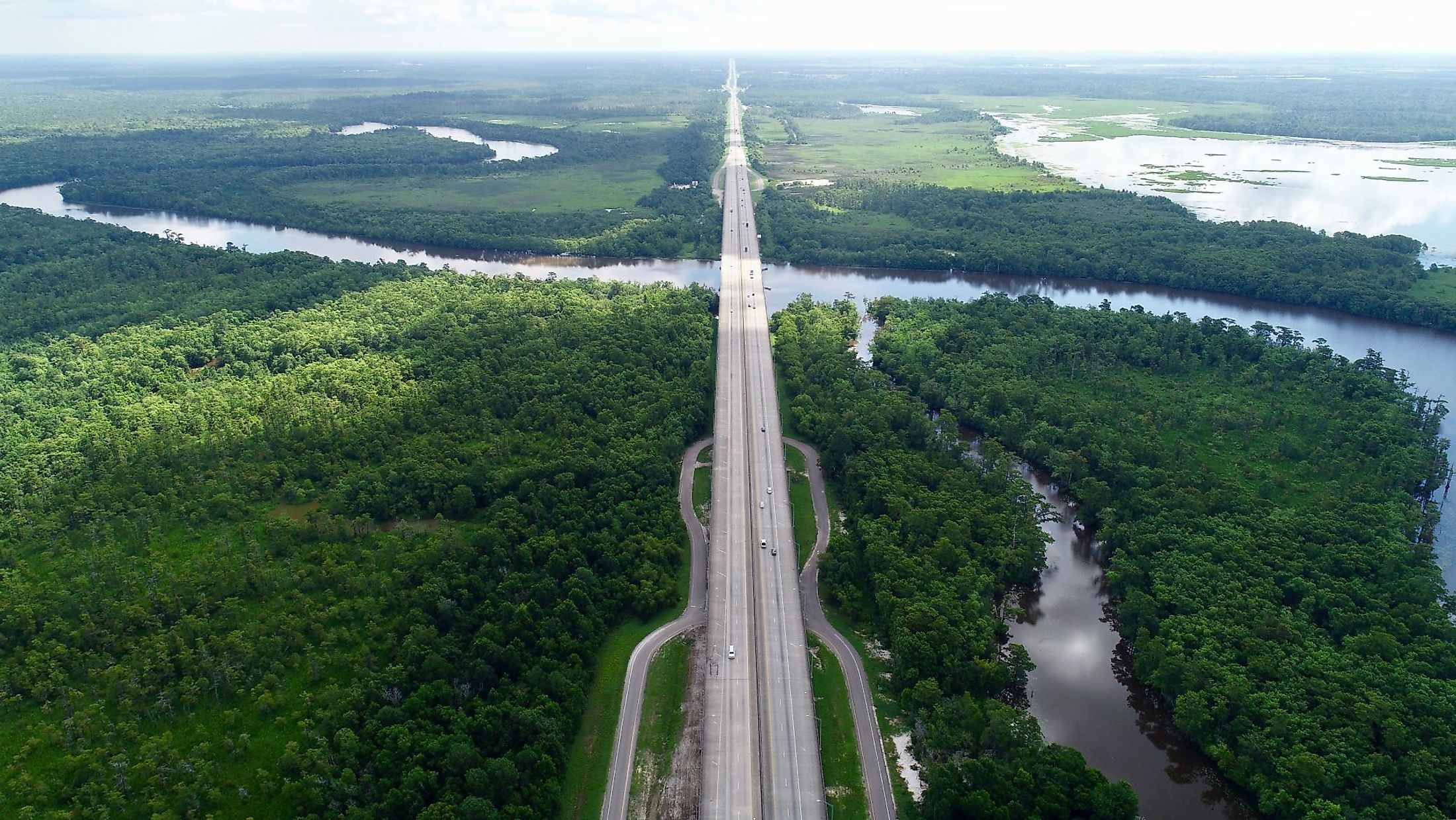
Sabine River originates from northeastern Texas and flows in the southeast and southward directions, expanding near its mouth to form Sabine Lake, and continues from Port Arthur through the Sabine Pass, which is a controllable channel, leading to the Gulf of Mexico after a total course of 578 miles. Moreover, Sabine’s River drains an area of 25,270 sq. km distributed between Texas and the Louisiana coastal plain, characterized by flat slopes and vast timbered floodplains. The Sabine River serves as an international border between the territories of France, Spain, the United States, and Mexico, as well as an internal boundary between Texas and Louisiana. The Sabine-Neches Waterway, which is a part of the Gulf Intracoastal Waterway, delivers 52 miles of a deep stream through the Sabine Pass, via the western Sabine Lake and the lower Neches River to Beaumont, and 44 miles of deep waterway to Orange, in Texas. The river streams end through two large reservoirs, Lake Tawakoni, located at the junction of the South and Cowleech forks, and Toledo Bend Reservoir, on the Texas and Louisiana border.
History Of The Sabine River

The river’s original name was Sabinas, which is the Spanish name for the red cedars rising on its banks. The name was adjusted by French-speaking people to its present form. When the Europeans arrived in the area in the sixteenth century, they found different groups of Caddos living along the river. The Spanish counted territory located west of the Sabine to be a part of their province of Texas. Later on, the area was claimed by both the Spanish and French traders who operated along the Sabine. The river was used more than any other river in Texas, carrying heavy traffic of bulk cotton and timber on rafts and boats sailing for several miles from north of Tyler to the Gulf of Mexico. In the last century, railroads stopped most of the commercial boat activities on the river. Today, the rich pine forests that frame the river’s banks are the primary support of the timber industry. In addition to its commercial role in history, the river served as a part of the border between the Spanish American, the Mexican–American, and Texan–American international areas during the first half of the 19th century.
Ecology Of The Sabine River
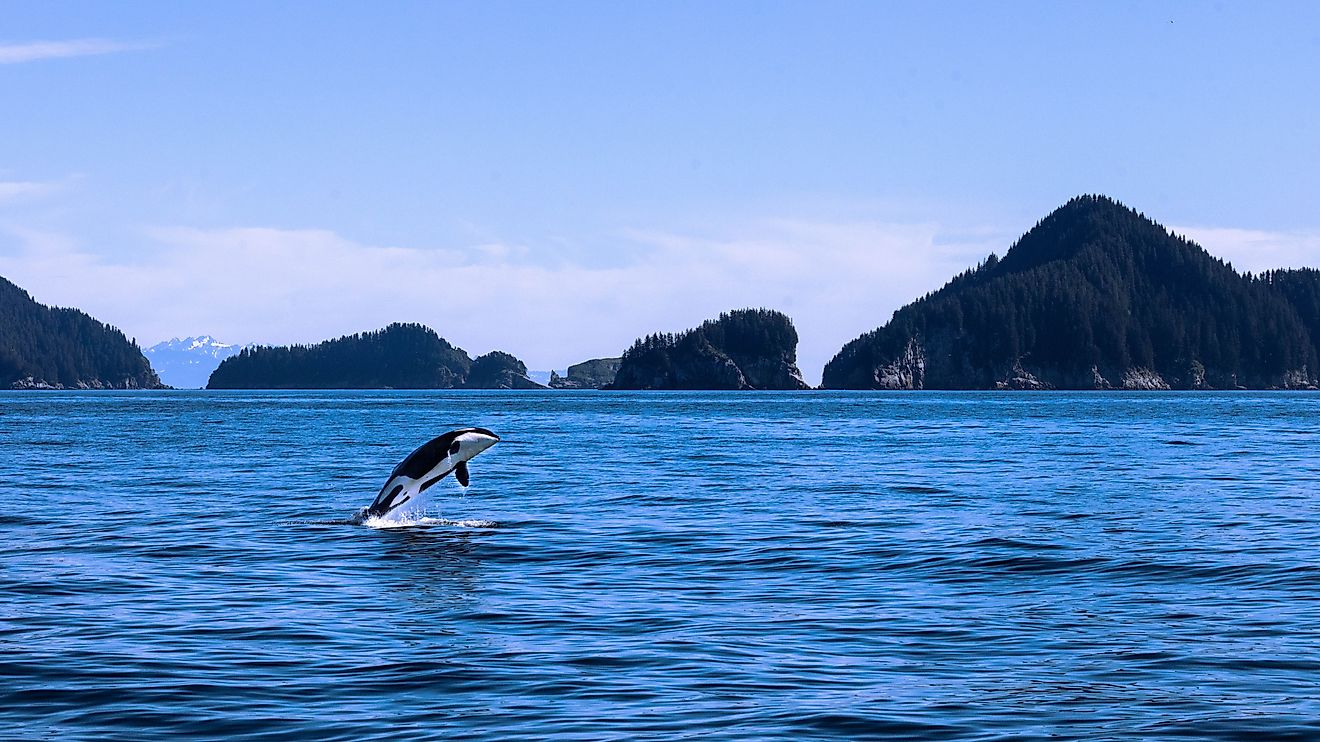
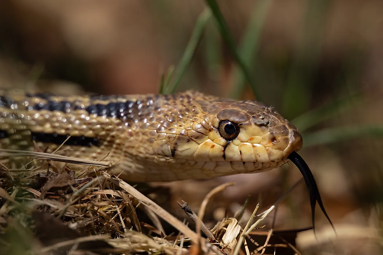
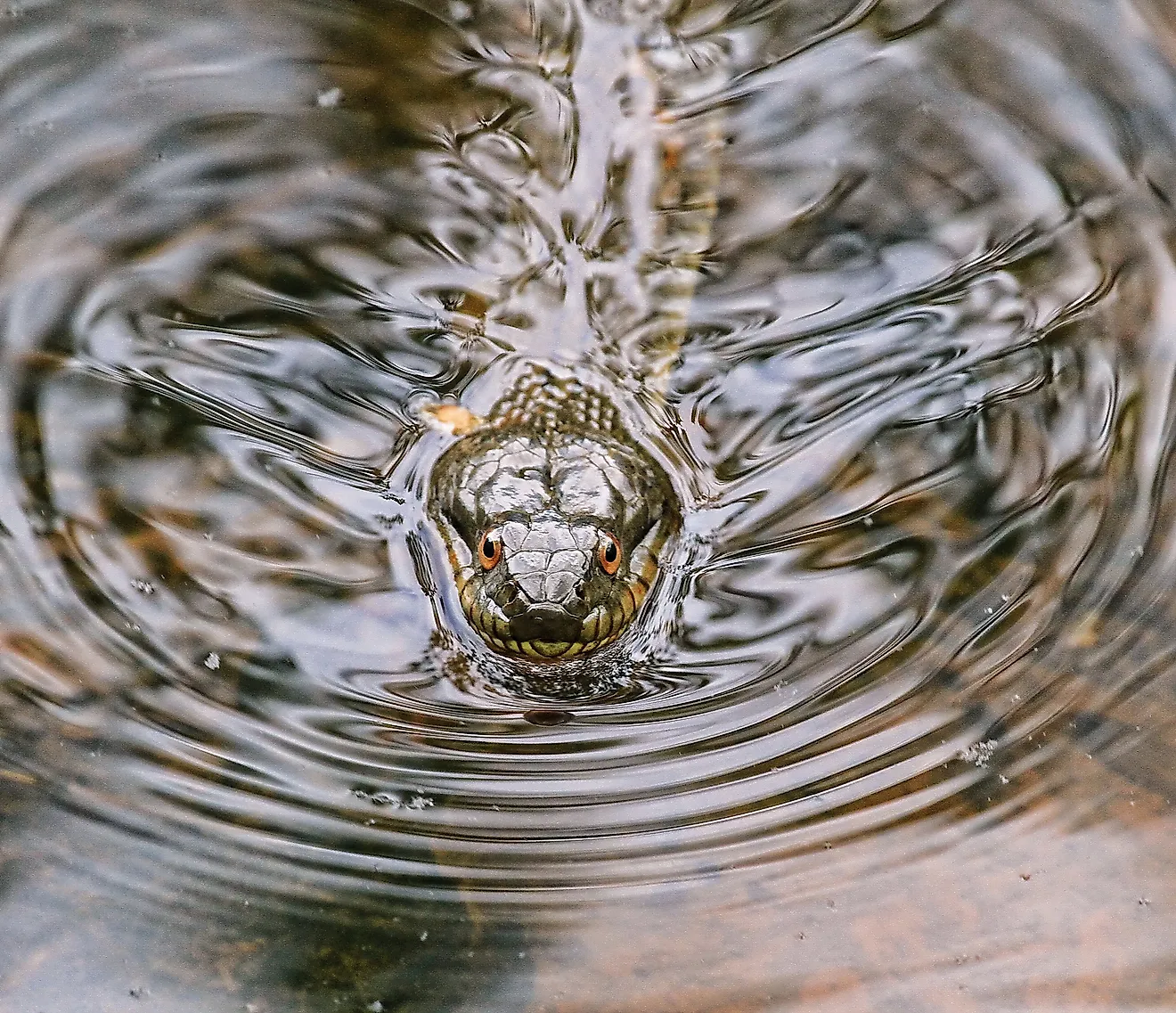
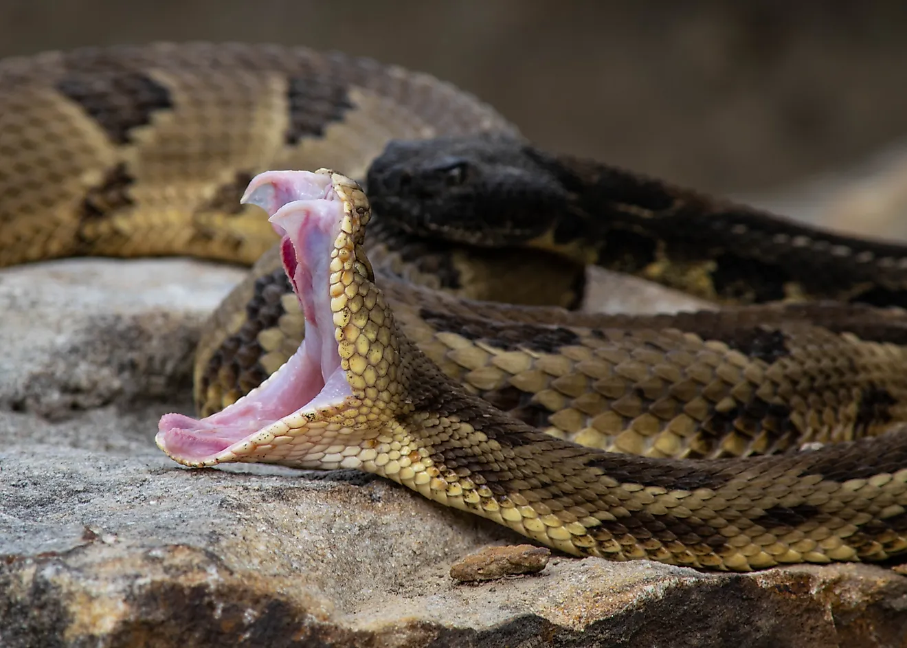
The area surrounded by the Sabine River hosts a wide variety of timber trees, with the significant timber type being the loblolly pine. Upland species also include red oak, white oak, as well as hickory, and sweetgum, in addition to French mulberry, hawthorn, sassafras, and many more. As for the wildlife, the Texas alligator lives along the river due to the suitable environment and the humid climate around the river. Besides, various aquatic insects that are classified as benthic macroinvertebrates have made the river their home. In addition to the other present species of native fish, mollusks, crustaceans, amphibians, reptiles, and birds.
Points Of Interest Along The Sabine River
Sabine National Forest

Sabine National Forest is famous for its outdoor activities like fishing, hunting, camping, hiking, horseback riding, and mountain biking. Moreover, one of the site's most popular attractions is the 12,369-acre Indian Mounds Wilderness Area, which provides a picturesque backdrop for visitors and hosts tempting flora, including yellow lady's slipper orchids, American beech, and southern magnolia. Also, visitors can hit the 28-mile trail among the lakes, where trail maps are provided on the sites of old railroad binds and bridges that are studded along the hundreds of miles of scenic landscape. Furthermore, the Sabine River features several lakes and reservoirs that serve as fishing destinations, such as Lake Tawakoni, Lake fork, and Toledo Bend. These lakes are considered big basins featuring different types of fish like catfish, white bass, yellow bass, and many more. Visitors also can enjoy many water activities like kayaking, boating, and swimming in some parts of the river.
The location of the Sabine River features superior wildlife and charming beauty, as well as a path through a vital petroleum-manufacturing region, with the lower stream near the Gulf passing by one of the most industrialized areas of the southeastern United States. Throughout the years, the river was often privileged by separating the Old South and the New Southwest.