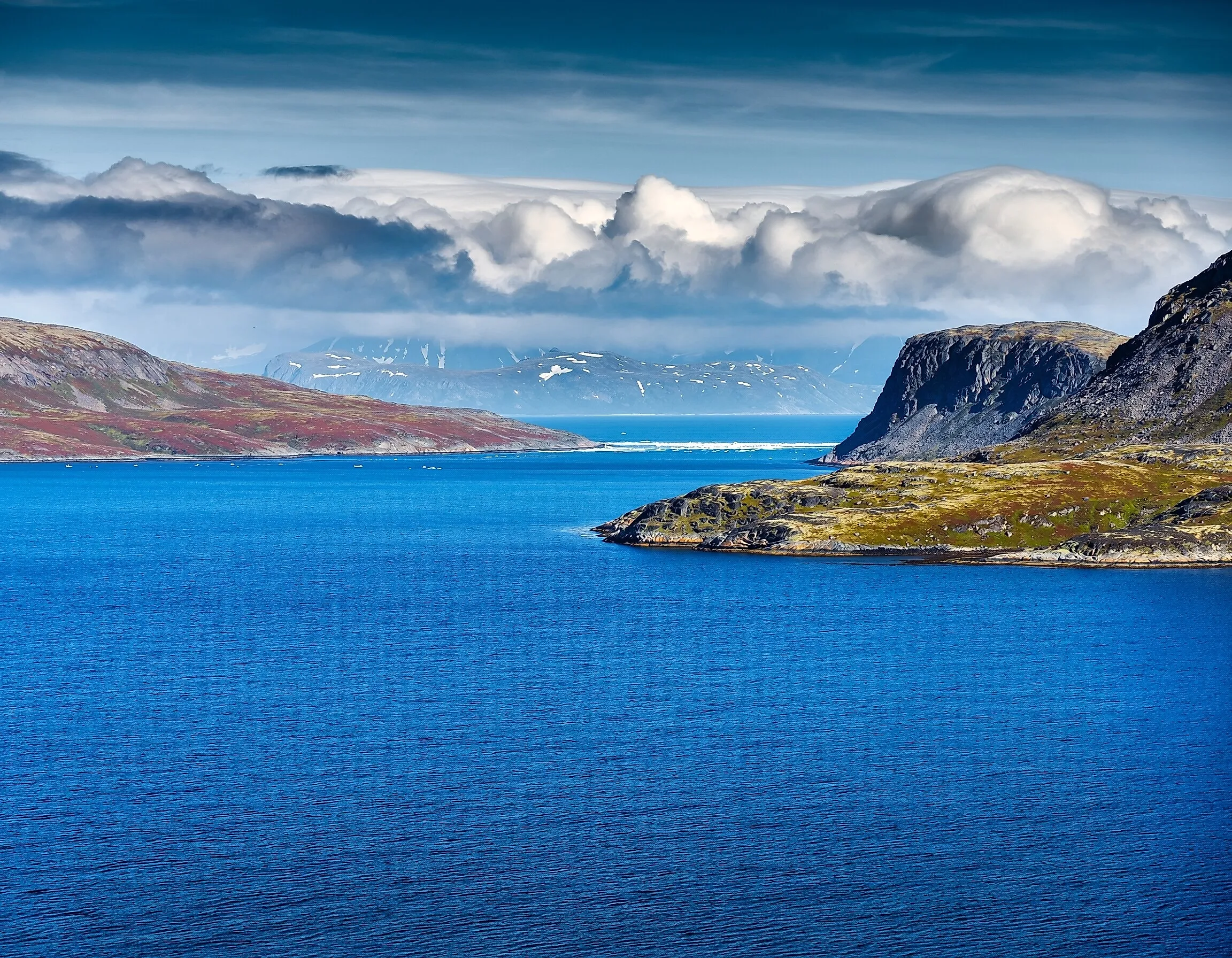
The Places Where You Can Stand Between Two Oceans
At the southern tip of Africa, a stone marker stands on a windswept shore. On one side lies the Atlantic Ocean, and on the other lies the Indian Ocean. It is one of a handful of places on Earth where you can stand, quite literally, between two of the world's five oceans. Elsewhere, a narrow strait, a canal, and a storm-battered cape mark more of these meeting points. Some of these spots are official boundaries drawn by mapmakers, and others are quirks of geography. A few famous "where two oceans meet" spots turn out to be impostors.
The Bering Strait, Alaska

Between Alaska and Russia, the Bering Strait is the only gateway between the Pacific and Arctic oceans, just 53 miles (85 km) wide at its narrowest. In the middle sit the Diomede Islands. Little Diomede belongs to the United States, and Big Diomede to Russia, about 2.4 miles (3.8 km) away. The International Date Line runs between them, so Big Diomede is nearly a full day ahead, earning it the nickname "Tomorrow Island."
Here is the twist. By the International Hydrographic Organization's definition, the official Pacific-Arctic line is not the strait itself but the Arctic Circle, about 55 miles (89 km) farther north. That line comes ashore on the northern coast of Alaska's Seward Peninsula, which means you can technically stand on American soil with the Pacific's Bering Sea to the south and the Arctic's Chukchi Sea to the north.
The Panama Canal, Panama

The Isthmus of Panama is the narrowest land bridge between the Atlantic and Pacific in the Americas, and it holds a famous geographic surprise. Because the isthmus curves, the Panama Canal runs northwest to southeast, which puts its Atlantic entrance west of its Pacific entrance. Locks lift ships about 85 feet (26 m) up to Gatun Lake and back down to sea level on the other side. For an even better view, hikers climb Volcán Barú, Panama's highest peak, where on a clear morning both the Pacific and the Caribbean Sea, an arm of the Atlantic, are visible from the summit.
Cape Agulhas, South Africa

Many visitors to the Cape of Good Hope believe they are watching two oceans collide, but the official meeting point lies about 90 miles (150 km) to the southeast. Cape Agulhas, the southernmost tip of Africa, is where the IHO draws the boundary between the Atlantic and Indian oceans, along the meridian of 20 degrees east. A stone marker lets visitors stand with one ocean on each side. The water does not change color at the line, though. The warm Agulhas Current and the cold Benguela Current mix over a wide area offshore, which is one reason these waters are notoriously rough.
Cape Horn, Chile
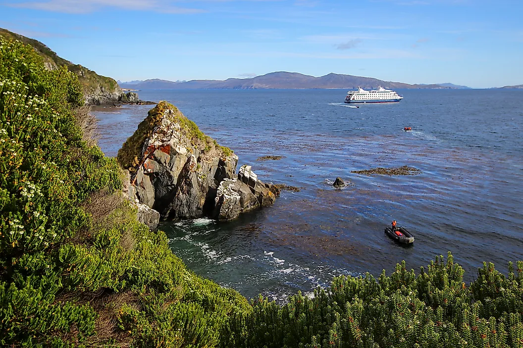
At the bottom of South America, the IHO draws the Atlantic-Pacific boundary straight down the meridian of Cape Horn. Before the Panama Canal opened, sailing around the Horn was the main sea route between the two oceans, and the stormy Drake Passage to the south became one of the most feared stretches of water on Earth. Cape Horn adds a third ocean to the mix. About 280 miles (450 km) south, at 60 degrees south latitude, begins the Southern Ocean, which National Geographic added to its maps as the world's fifth ocean in 2021.
Cape Leeuwin, Australia

At the far southwestern corner of Australia, Cape Leeuwin is promoted as the spot where the Indian and Southern oceans meet. That claim depends on who is drawing the map. Australia defines the Southern Ocean as all the water to its south, while the most widely used international definition starts the Southern Ocean much farther south, at 60 degrees south latitude. Either way, the view from the Cape Leeuwin Lighthouse, completed in 1896 and the tallest lighthouse on mainland Australia, takes in some of the wildest open water on the planet.
The Impostors

Some of the world's most famous "two oceans" photos show something else entirely. At Grenen, near Skagen in Denmark, waves from the Skagerrak and the Kattegat crash together in a dramatic line, but both are seas connected to the North Atlantic, not separate oceans. The Strait of Gibraltar joins the Atlantic to the Mediterranean, which is a sea. And at Key West, Florida, the Gulf of Mexico and the Atlantic share a shoreline, but the Gulf is itself part of the Atlantic Ocean.
Where The Lines Are Drawn
Oceans don't come with fences, so most of the places where they meet exist because someone drew a line on a map. A few, like the Panama Canal, are places where people cut through the land to join them. Whether you climb a volcano in Panama, cross a strait between two continents, or stand beside a stone marker at the tip of Africa, these spots offer a rare chance to stand with one foot in each of the world's great oceans.