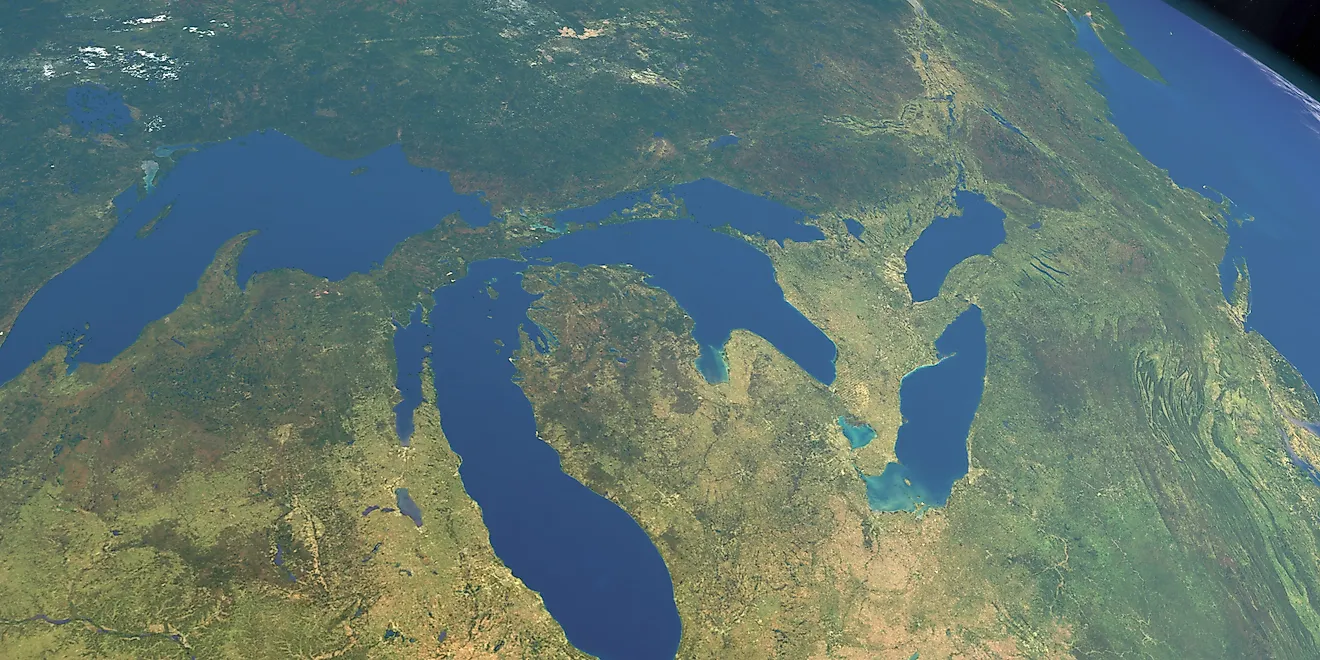
Doubs River
Known as Dubiud in Latin due to its erratic course, the Doubs River is a beautiful river in eastern France and western Switzerland. It has a length of more than 280 miles (450km) and covers a unique meandering path through many major cities. Along with this, the Doubs River is known for having immense beauty, visible through the many waterfalls and lakes present along its route. Additionally, the river is used for generating electricity which is vital for many French regions. The Doubs River is an important body of water with many unique and interesting features.
Source Of The Doubs River

The Doubs River begins its journey from Mouthe, a commune in eastern France. This commune is known for its cold winters and tall mountains, where the Doubs is formed. Specifically, in the Jura Mountains range, which reaches heights of up to 5,000 feet (1525 meters), many streams join to form the Doubs River. This creates a scenic sight that has become a popular tourist attraction known as Source du Doubs (Source of the Doubs). Here, visitors can witness many unique waterfalls and streams flowing through the wilderness within the mountainous area of Mouthe. From its source, the river begins a path northeast along the Jura Mountains for many miles.
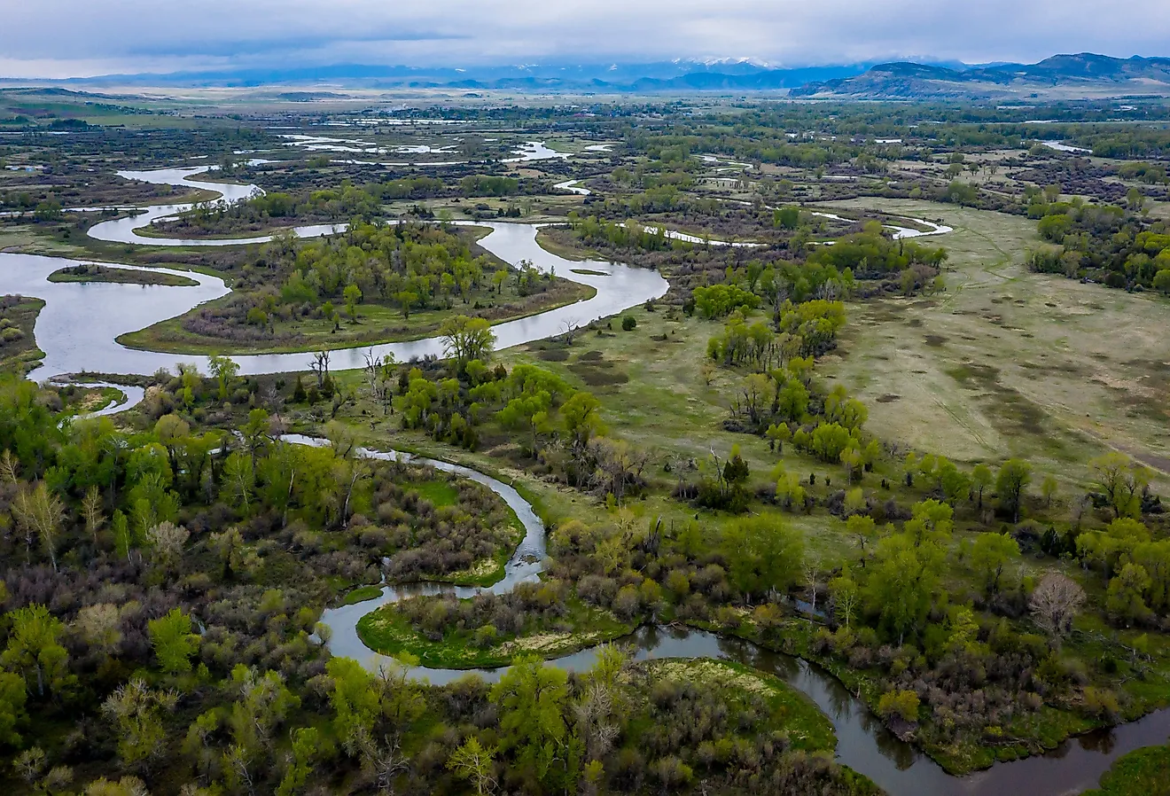
Course and Basin Of The Doubs River

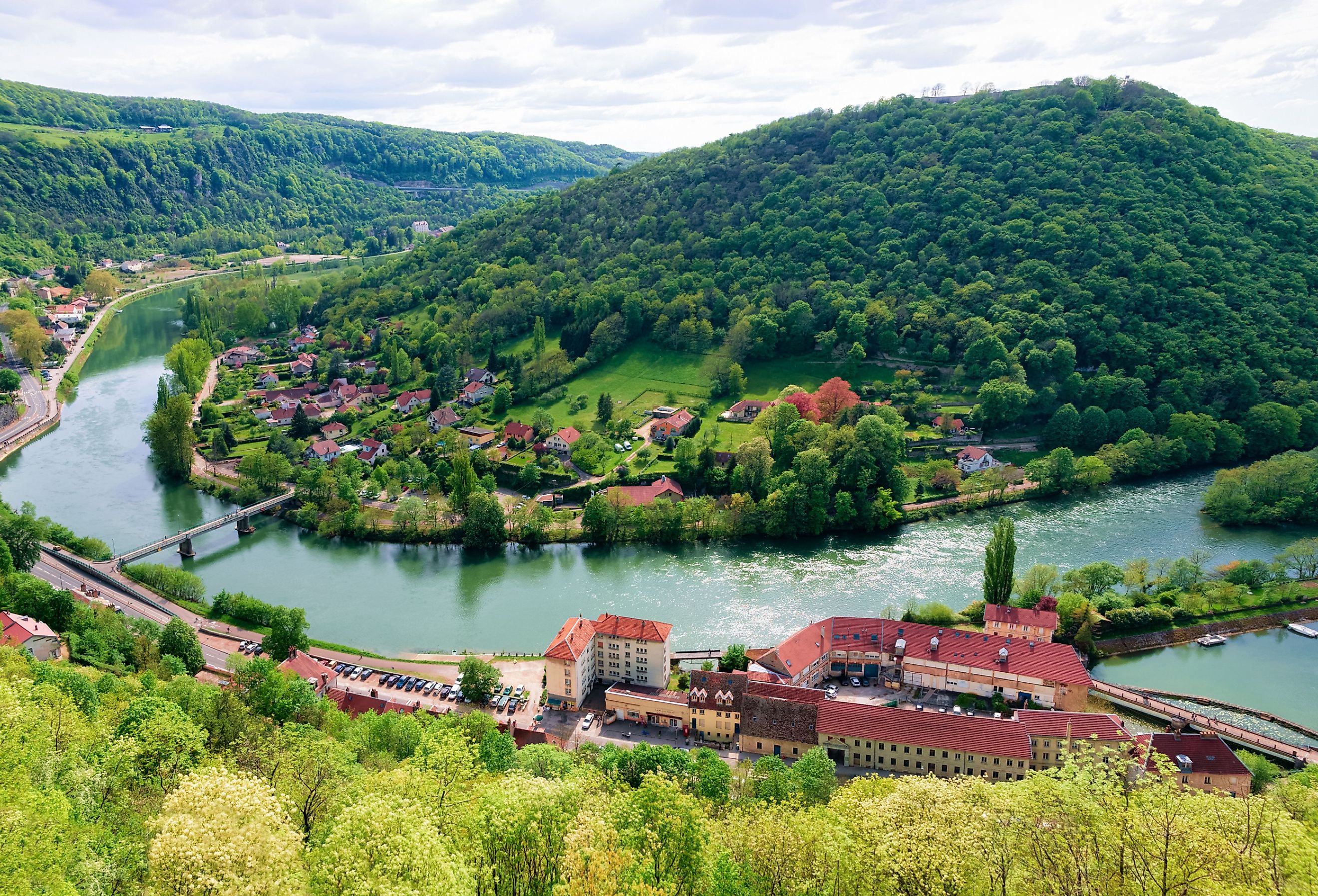
Following its source from the commune of Mouthe, the Doubs River flows northeast for approximately 9 miles (15 km) until reaching Lac de Saint-Point. It then exits the lake from the northeast and continues in this direction for a few more miles, crossing communes such as Pontarlier and Morteau until reaching the France-Switzerland border. Here, the Doubs River is met with many small lakes and tributaries such as Lac des Brenets which make it much larger and straight in its path. For the next 25 miles (40 km), the river forms the border between France and Switzerland, after which it turns east into Switzerland. From here, the river continues for a few miles with a meandering path until suddenly turning west back into France. At this point, the river cuts through France with a highly erratic path through major cities, such as Besancon. Finally, after covering a total distance of 281 miles (453 km), the Doubs River reaches its mouth at the Saône River at Verdun-sur-le-Doubs, France.
Throughout its course, the Doubs River is met with two main tributaries: Loue and Allan. In addition to this, the river crosses through many large lakes such as Lac de Moron and Lac des Brenets which bolster its size. Subsequently, the Doubs River has a basin size of 2,900 sq. miles (7,500 sq. km,) which is primarily located within eastern France and Western Switzerland. Along with this, the various lakes add to the river’s flow giving it an average discharge (flow of water) of 6,200 cu. feet/s (176 cu. m/s).
Climate Of The Doubs River

According to the Koppen Climate Classification, the Doubs River has a (Cfb) temperate oceanic climate. This climate type has mild weather all year with relatively high precipitation levels. In particular, the average temperature at the Doubs River ranges from 31°F to 77°F, which gives it a pleasant feel throughout the year. Summers last for 3 months (June to September) with average highs of 76°F during the hottest month of July. On the other hand, median lows fall to 31°F during January, the coldest month in eastern France. Thus, the period between July and November is ideal for outdoor activities along the lake as temperatures remain reasonably warm. In terms of precipitation, the region sees approximately 55 inches (1108mm) of rain each year.
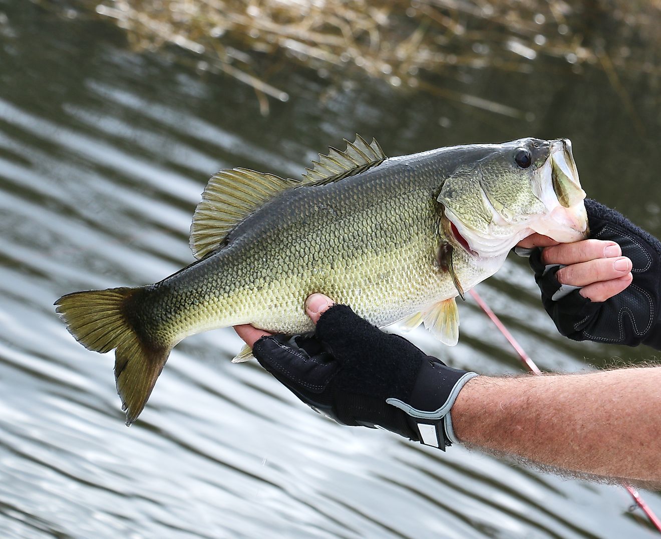
Fishing & Marine Life In The Doubs River

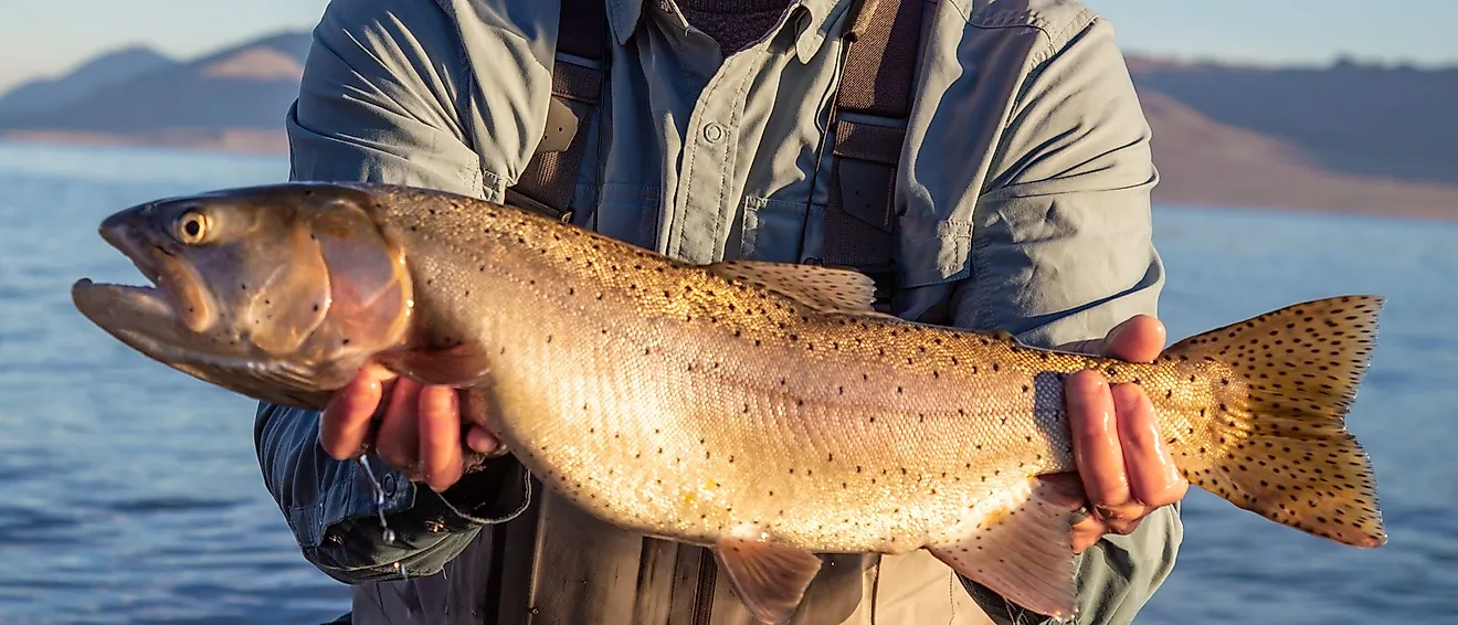
Throughout its 281-mile (453 km) length, the Doubs River houses a large ecosystem of marine animals dependent on it for food and shelter. According to recent estimates, approximately 25 fish species have been observed in the river which indicates its immense ecological importance. Some of the major species in the Doubs River are trout, grayling, pike, and whitefish. In addition to this, the river houses a famous species of trout, known as the Doubs-trout, which is a prize for fishermen in the region. Speaking of fishing, the Doubs is also a well-known spot for fly fishing in France. This is because many fish such as pike and trout are ideal catches for fly fishing and make for an enjoyable experience.
Tourism & Economic Importance of the Doubs River

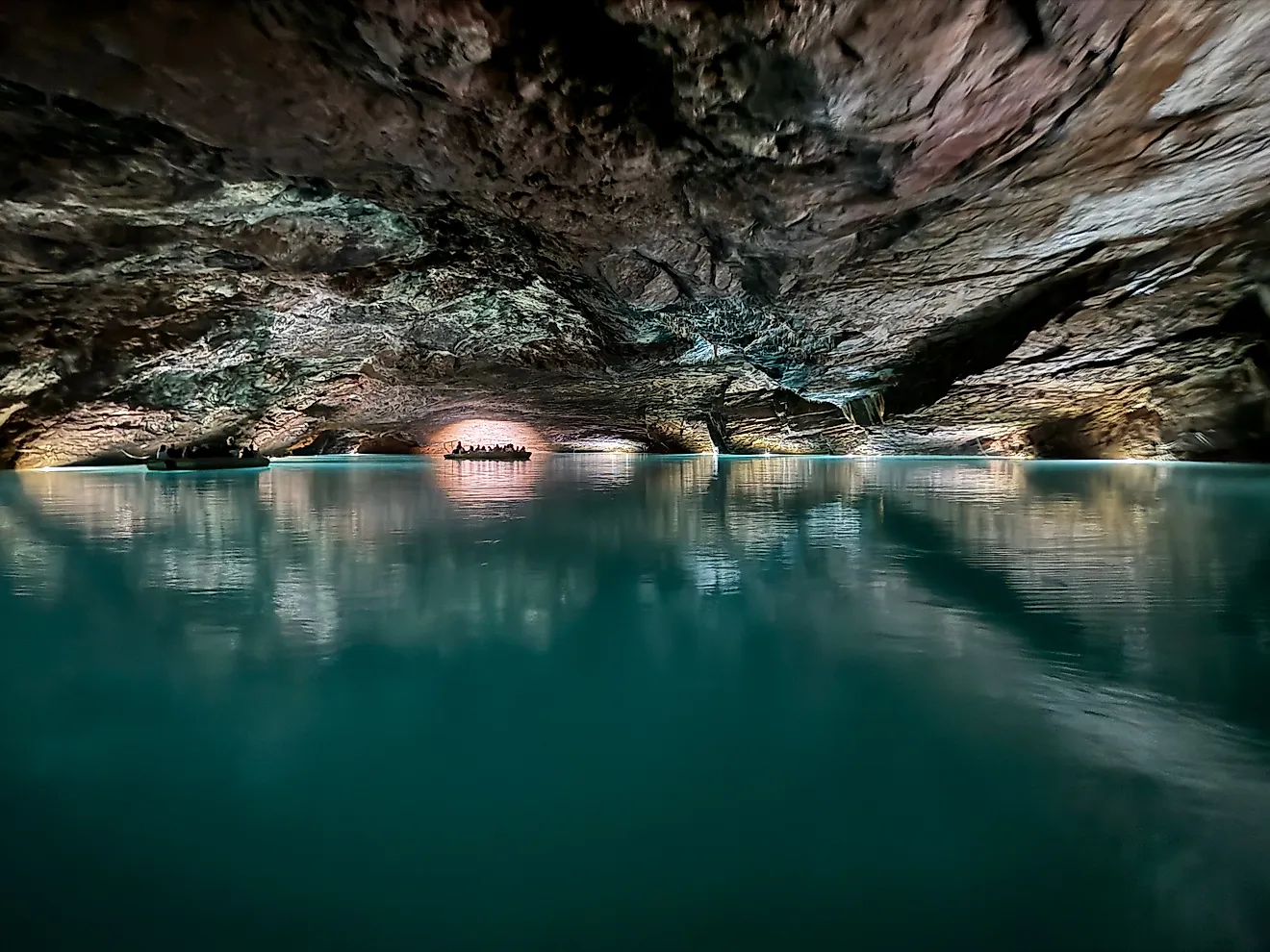
Apart from being essential for the local marine life, the Doubs River is also a hotspot for tourism. Located in France, one of the world’s most visited countries, the river provides many scenic waterside views which are frequented by tourists. For example, the source of the river at Mouthe is a famous tourist spot with many beautiful streams, waterfalls, and even a camping area. Moving further down the river to the French-Swiss border, the Doubs River features the beautiful Saut du Doubs waterfall. This waterfall was created by landslide debris and now drops water down 86 feet (27 meters) within a beautiful cliffside. It can be reached on foot or by passenger boat—a great way to take in the complete experience. So, with this and many other unique sights along the river, it has become an important landmark for local tourism.
As the Doubs River has a prominent flow, it has also become the site of multiple hydroelectric stations. Primarily located in France, these stations are used to power many communes and regions within the country. Two of the most prominent are the Dam of Châtelot, with a height of 243 feet (74 meters), and the Dam of Refrain at 218 feet (66.5 m). That being said, both of these plants were created many decades ago and there haven’t been many developments in recent years.
Conclusion
Combining its uniquely meandering route, the importance for local industries, and overall beauty, the Doubs River is a vital river for France. Supporting many lakes and rivers along its path, the Doubs not only helps power nearby towns, but it provides a boost to the important tourism sector of France. Along with this, it is home to some of the most unique sights ranging from waterfalls to streams that can rarely be seen elsewhere!