Corantijn River
Also known as the Courantyne River, the Corantijn is a beautiful river situated in northern South America. The river is quite important in the region covering a length of 450 miles, which spans the countries of Suriname and Guyana. Along with its length, the Corantijn River is vital as it defines the border between one of Guyana’s eastern regions and Suriname. Due to this, the river is often in the news due to boundary disputes between the two countries. Moreover, the Corantijn is also home to a wide range of flora and fauna that are essential for local biodiversity.
Source Of The Corantijn River

The Corantijn River forms in southern Guyana within the Acarai Mountain range. This range lies along the border of Guyana and Brazil and reaches an altitude of up to 3,300 feet (1,000 m). As multiple small streams form flowing down the river, they begin to merge together gradually to create increasingly large rivers. This process continues flowing eastward until reaching the Guyana-Suriname border, where the Corantijn River is formed. At the confluence of the Sipaliwini River and Kutari Rivers, the Corantijn gains a decent amount of width and flow. Following this, the river begins a course north along the national border.
Course and Basin Of The Corantijn River

Following its source from the Acarai Mountains, the Corantijn reaches the village of Kwamalasamutu, where it meets with the Sipaliwini River and Kutari River. From here, the river begins moving north, although it is quite thin and slow at this stage. Due to this, the Coranijin initially has a meandering path formed by the splitting and merging of many smaller streams. The river continues north, after which it takes a sudden turn west and meets with another minor tributary. It then reverts to moving north along the border and splits into multiple smaller streams. It is only at the Wanapan village in Suriname that the river merges together, due to which it increases in width and water flow. The river then continues in a fairly northward direction with large meanders and curves along its route. From Apoera, Suriname, along the last 75 miles stretch to the ocean, the river is wide and deep enough to accommodate small ocean-going vessels. Finally, after covering a total distance of 450 miles (724 km) along the Guyana-Suriname border, the Corantijn reaches its mouth at the Atlantic Ocean between Georgetown and Paramaribo.
Due to its length and unique course, the Corantijn has a large impact on the region. Specifically, it has a massive basin size of 27,000 square miles (69,000 square kilometers), which is nearly half the total area of Suriname! In addition to this, the river also has a strong water flow at its mouth thanks to its multiple supporting tributaries and streams. According to most recent calculations, the Corantijn’s discharge (rate of water flow) is 81,000 cubic feet per second. Some of the river’s primary tributaries are the Coeroeni River, New River, and the Kabalebo River.
Climate Of The Corantijn River

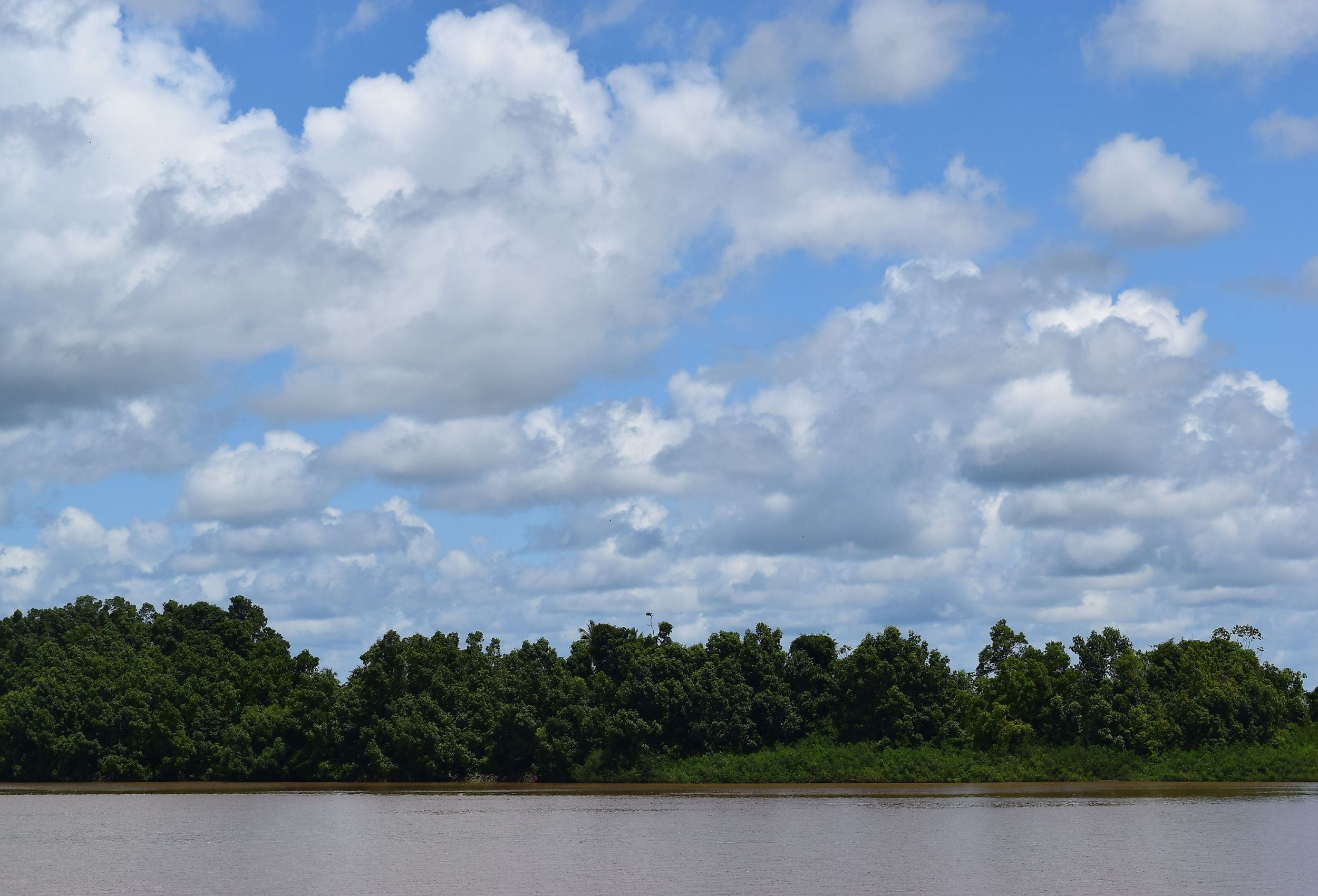
Similar to most of Guyana and Suriname, the Corantijn River runs through a tropical rainforest climate zone according to the Koppen Climate Classification. This zone is characterized by abundant precipitation as well as warm temperatures that are constant throughout the year. Thus, the Corantijn River sees temperatures from between 75 °F (24 °C) to 88 °F (31 °C) throughout the year. The difference in temperature throughout the year is so minimal that there aren’t any defined seasons in the region. Even in extremely cold conditions, the temperature rarely goes below 70 °F (21 °C). Along with the warm environment, the region receives a lot of rainfall each year. The wettest month is June, which gets an average of 8.4 inches of rainfall across 22 wet days! Thanks to these conditions, the Corantijn River’s climate is ideal to visit at any time.
Flora and Fauna In The Corantijn River

Due to its location within a tropical rainforest zone and large basin size, the Corantijn River supports a plethora of plant and animal species. In terms of plant life, the river plays a vital role in providing nutrients to nearby areas, as well as slowing down soil erosion. Thus, species of flowers such as the Caularthron bicornutum thrive along the river’s banks. Moving further toward the river’s mouth, a large amount of nearby land consists of mangrove forests and lagoons. These regions are rich with a wide range of trees and plants such as black mangroves, scarlet ibis, and sundews.
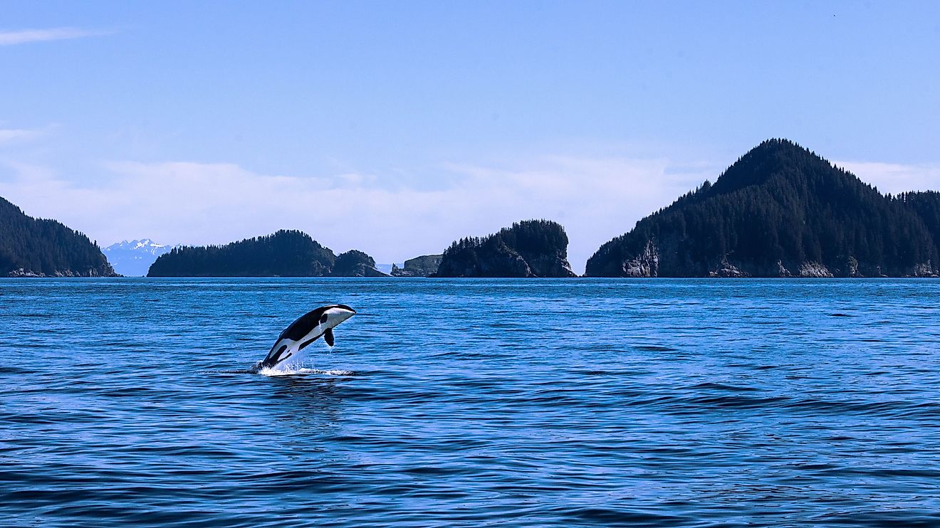
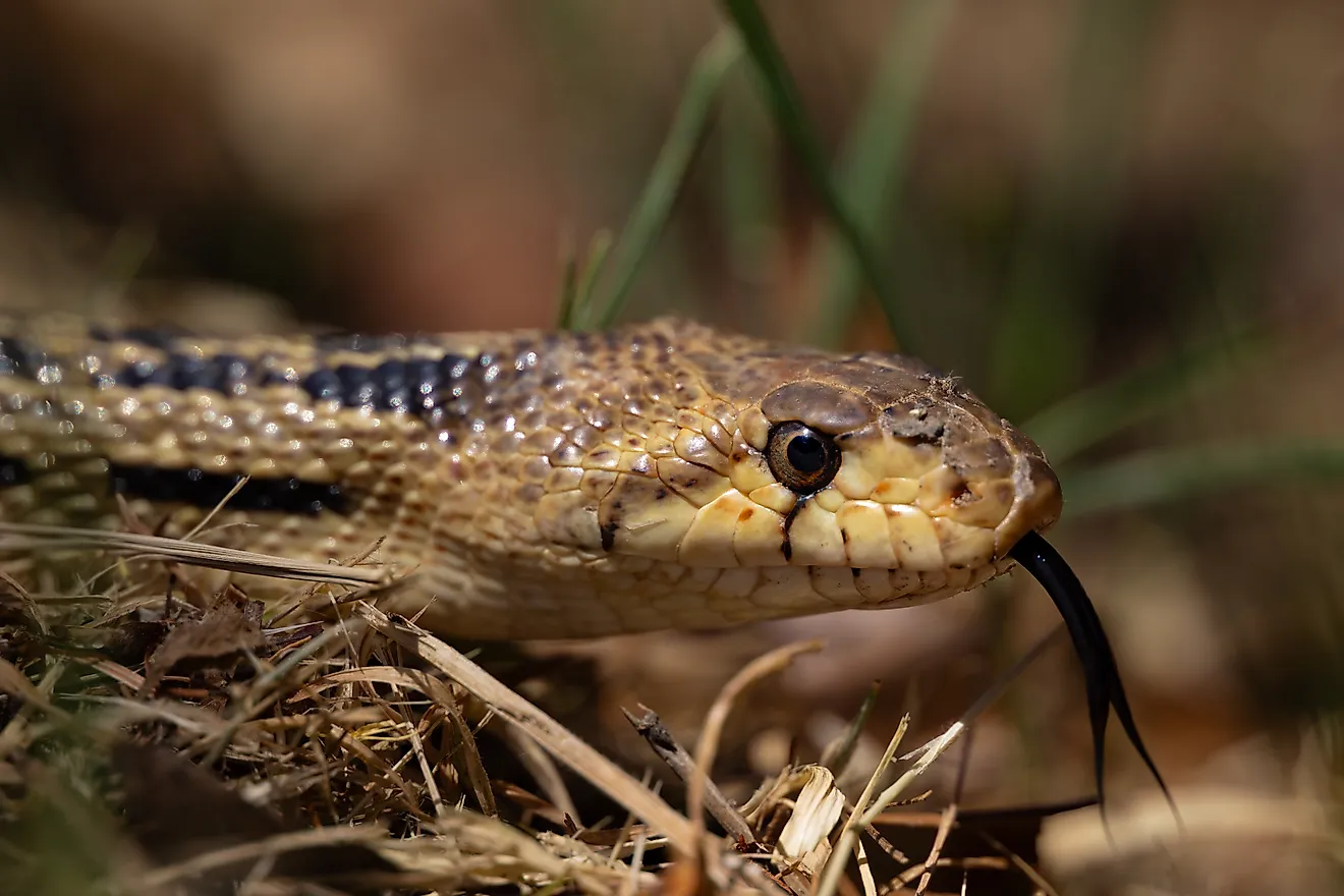
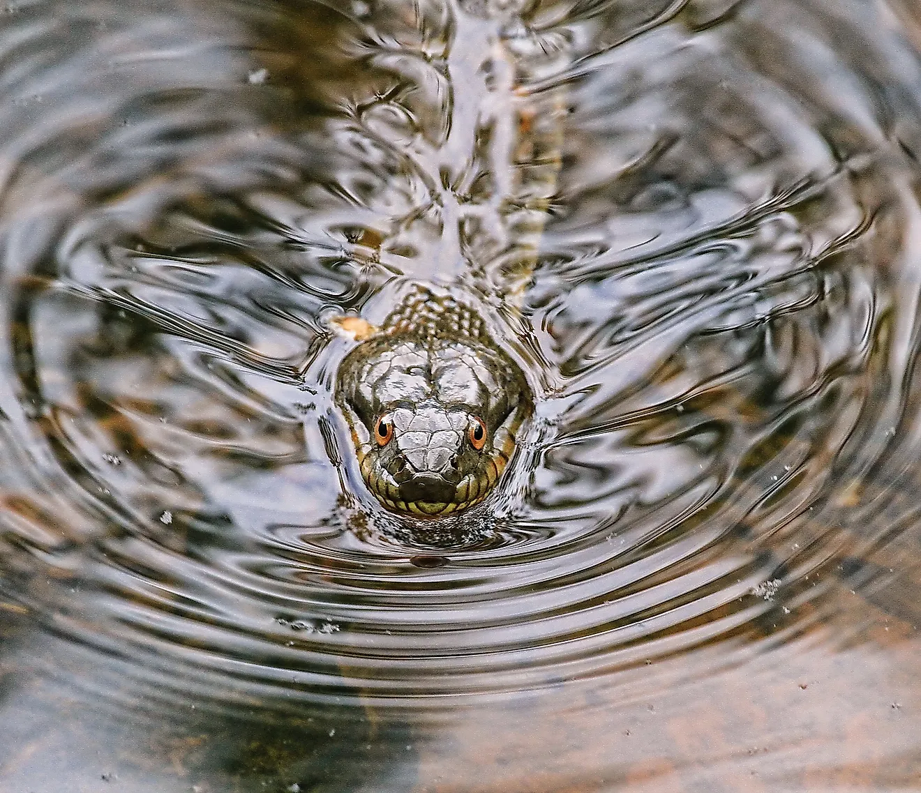
When it comes to animal life, the Corantijn River supports a wide range of animals, both inside and outside the water. This is thanks to the tropical environment and nearby forests which provide ample habitats for all types of animals. In terms of marine life, the Corantijn River is home to many species of catfish such as the Pseudancistrus barbatus (bearded catfish), Hypostomus sipaliwini, and the Brachyplatystoma capapretum (dark-caped goliath catfish). Outside of the water, things are even more diverse and hundreds of unique animals live within the expansive forests of Guyana and Suriname. Some prominent species in the region are the Leatherback turtle, Scarlet ibis, White-faced saki, and the beautiful Blue poison dart frog. Thus, the Corantijn is an ecologically rich body of water that is essential for local wildlife.
Political Importance of the Corantijn River

While the Corantijn is quite an unassuming river at first glance, it holds immense political importance in South America. This is because the river has been a pivotal part of territorial disputes between Suriname and Guyana for many years. Both countries have had differing views on their land boundaries throughout the past few centuries which revolved around this river. While Guyana claimed the center of Corantijn as its boundary, Suriname contested this and claimed the left bank was the boundary. It wasn’t until 2007 that a verdict was finally reached in the Hague Arbitration Court. According to the verdict, Suriname would gain complete control over the entire Suriname River and its left bank would be the border between countries. Since then, disputes have decreased and Suriname controls all ship traffic along the Corantijn River.
Conclusion
Ranging from its unique meandering route across northern South America to its constant tropical climate, the Corantijn River is a scenic and important body of water. Not only is it essential for local biodiversity, but the river has immense political importance in defining the Suriname-Guyana land border. Moreover, with a basin size that spans a whopping 27,000 square miles, the Corantijn is one of the most amazing rivers in the region!