The 4 Most Dangerous Bodies Of Water In Georgia
Georgia's waters range from the regulated expanse of Lake Lanier behind Buford Dam to the tidal channel of the Savannah River that funnels container ships into the Port of Savannah, and each presents distinct hazards rooted in local geography and human use. Lake Lanier records frequent boating incidents related to submerged timber, abrupt dam releases, and intense holiday traffic. The lower Savannah River combines a wide tidal range, constrained navigation channels, and large-vessel wakes that create dangerous conditions for small craft. The Atlantic beaches at Tybee Island endure recurring rip currents and sudden surf changes tied to coastal storms that shape Georgia's shoreline. The Altamaha River and its estuary present remote navigation hazards, seasonal fluctuations that expose fallen trees and shoals, and localized water-quality concerns that prompt monitoring by state and federal agencies. Continue reading to learn why caution is the best course of action when exploring some of Georgia’s most notorious waterways.
Lake Lanier

Lake Lanier is a large reservoir created by Buford Dam on the Chattahoochee River, and its shoreline attracts millions of visitors each year for boating, swimming, and watersports. Local hazard patterns combine heavy summer boat traffic, alcohol-fueled celebrations, submerged structures, and sudden changes in water discharge below the dam. The U.S. Army Corps of Engineers manages the reservoir and posts formal safety guidance for the river reach below Buford Dam, where releases may begin without warning, and the Corps requires life jackets for users in that stretch. Georgia Department of Natural Resources law enforcement data and multiple reporting projects show that Lake Lanier accounts for a disproportionate share of the state’s drowning and boating incidents, especially during holiday weekends and in residential coves where sudden depth changes and underwater obstacles exist.

Visitors frequently underestimate how quickly a calm surface can mask cold, deep water or snagging hazards. Wearing a properly secured life jacket, avoiding alcohol while operating watercraft, and heeding posted dam-release warnings reduce risk considerably. Local authorities urge boaters to maintain vigilance around submerged stumps, docks, and steep drop-offs, and to treat the lake’s crowded mid-summer weekends as high-risk periods.
Savannah River and the Port of Savannah

The Savannah River serves both recreation and heavy commercial use, flowing past historic city neighborhoods and into the busy Port of Savannah, one of the busiest container ports on the Atlantic seaboard. Tides and strong, changeable currents combine with large-vessel wakes, tug operations, and complex navigation patterns to create hazardous conditions for small craft. A Ports and Waterways Safety Assessment prepared by maritime authorities documents a substantial tidal range in the lower river, sudden wind shifts that complicate mooring and barge handling, and constrained channels that amplify wake and eddy effects near bridges and terminals. Recreational boaters who venture into the river without situational awareness risk close encounters with large commercial vessels, propulsion wash that overturns small craft, or being set onto shoals in narrow stretches.

Local agencies maintain vessel traffic advisories, speed zones, and restricted areas, and they emphasize the importance of marine radio monitoring and avoidance of the river channel during periods of heavy cargo operations or severe weather. When storms roll in from the coast, rapid wind changes can transform a manageable river day into a hazardous transit.
Tybee Island

The shoreline around Tybee Island and adjacent beaches sees a steady flow of tourists, anglers, and surfers, and the same currents and weather patterns that shape the beaches also create persistent coastal hazards. Longshore currents and rip currents concentrate energy into narrow, fast-moving channels that can pull swimmers away from shore. The National Weather Service issues rip current statements for the Georgia coast when surf or wind conditions favor strong hazards, and local municipal beach pages maintain live-condition advisories and lifeguard updates. Seasonal storms, including tropical systems in late summer and fall, produce sudden changes in surf that create powerful shore breaks and elevated erosion, which in turn expose shallow bars and unexpected drop-offs.
Even experienced swimmers can find themselves in difficulty when a strong rip forms or when waves close out near sandbars. Lifeguarded areas, observance of posted warnings, and knowledge of how to escape a rip by swimming parallel to shore remain the simplest, most effective responses. When wind and swell combine during an onshore event, small watercraft and inexperienced swimmers should remain ashore until conditions moderate.
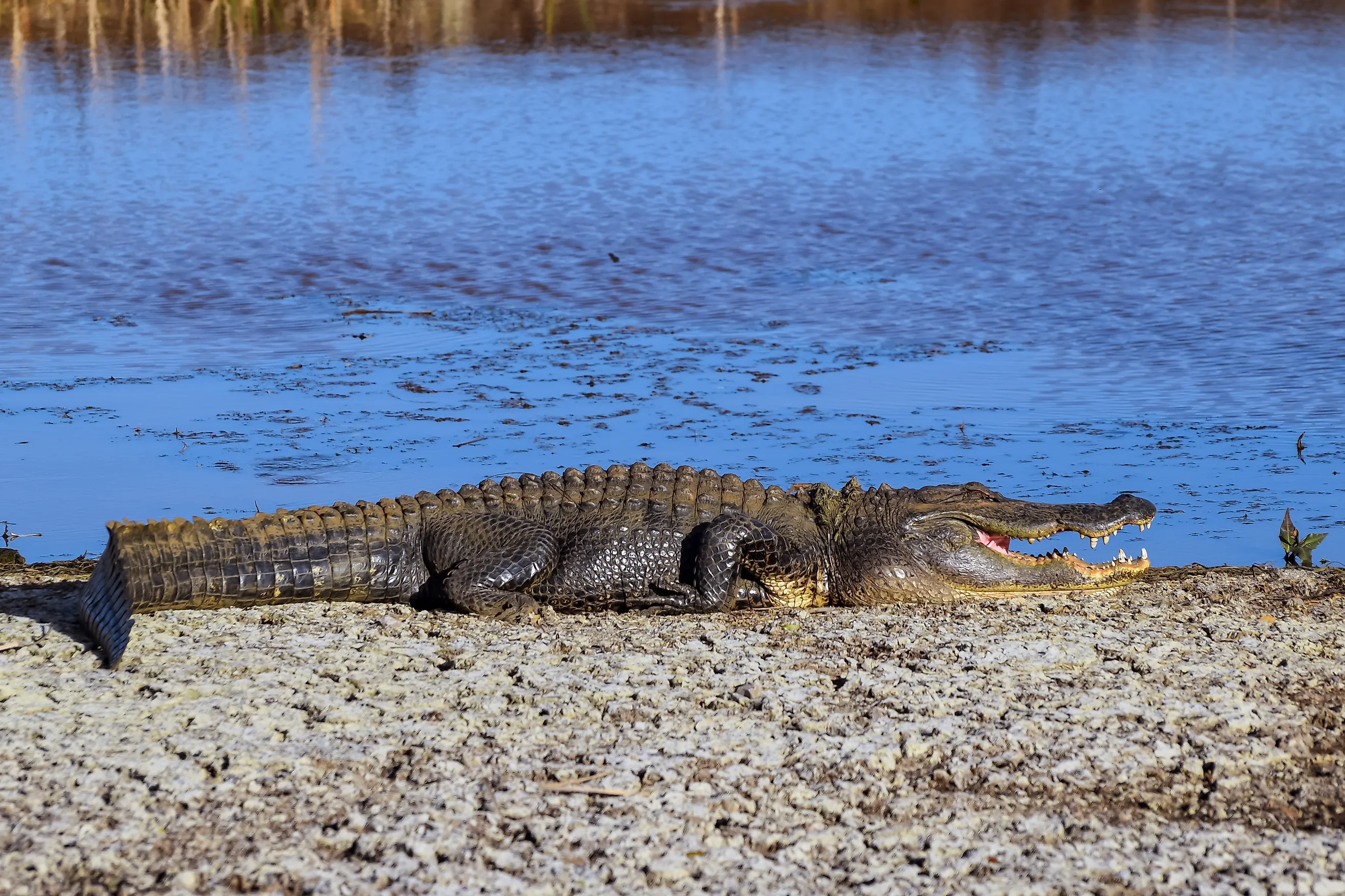
The Altamaha River

The Altamaha River is an expansive, meandering system that drains a large portion of south-central Georgia before reaching the Atlantic, and its scale produces both natural and human-made risks. Remote stretches make rapid emergency response difficult, while navigation hazards such as submerged stumps, fallen trees, shallow bars, and unpredictable channels present serious risks for boaters who encounter them at speed. In addition, sections of the basin have experienced industrial and agricultural pollution episodes that affect water quality, and periodic algal or bacterial blooms create public-health advisories for swimming and shellfish harvesting in affected estuarine reaches. Conservation organizations and scientists emphasize the river’s ecological importance even as they document sediment, nutrient, and chemical stresses that demand monitoring.

Anglers and paddlers who explore the Altamaha should prepare for limited cellphone coverage, carry redundancy in safety gear, and be mindful that wildlife such as alligators inhabit backwater sloughs and can be defensive if approached. Careful route planning, awareness of seasonal water levels, and checking for local alerts about water quality or hazards substantially reduce the chance of a rescue scenario in the river’s quieter reaches.
Respect, Prepare, and Enjoy Georgia’s Waterways
Georgia rewards careful adventurers with rich coastal landscapes, storied rivers, and popular reservoirs, but the state’s most visited waters also serve as reminders that water is a powerful and sometimes unpredictable force. Learning local conditions, carrying appropriate safety equipment, and following authoritative advisories turn many dangerous situations into stories of prudence rather than tragedy. Whether navigating the wake of a freighter on the Savannah River, reading the shoreline for rip channels at Tybee Island, avoiding submerged dangers on Lake Lanier, or planning a remote paddle on the Altamaha River, treat every outing as an opportunity to practice safe habits. Those habits protect lives and preserve access to the very waters that make Georgia a place for exploration and renewal.


