The Straightest Highway In America
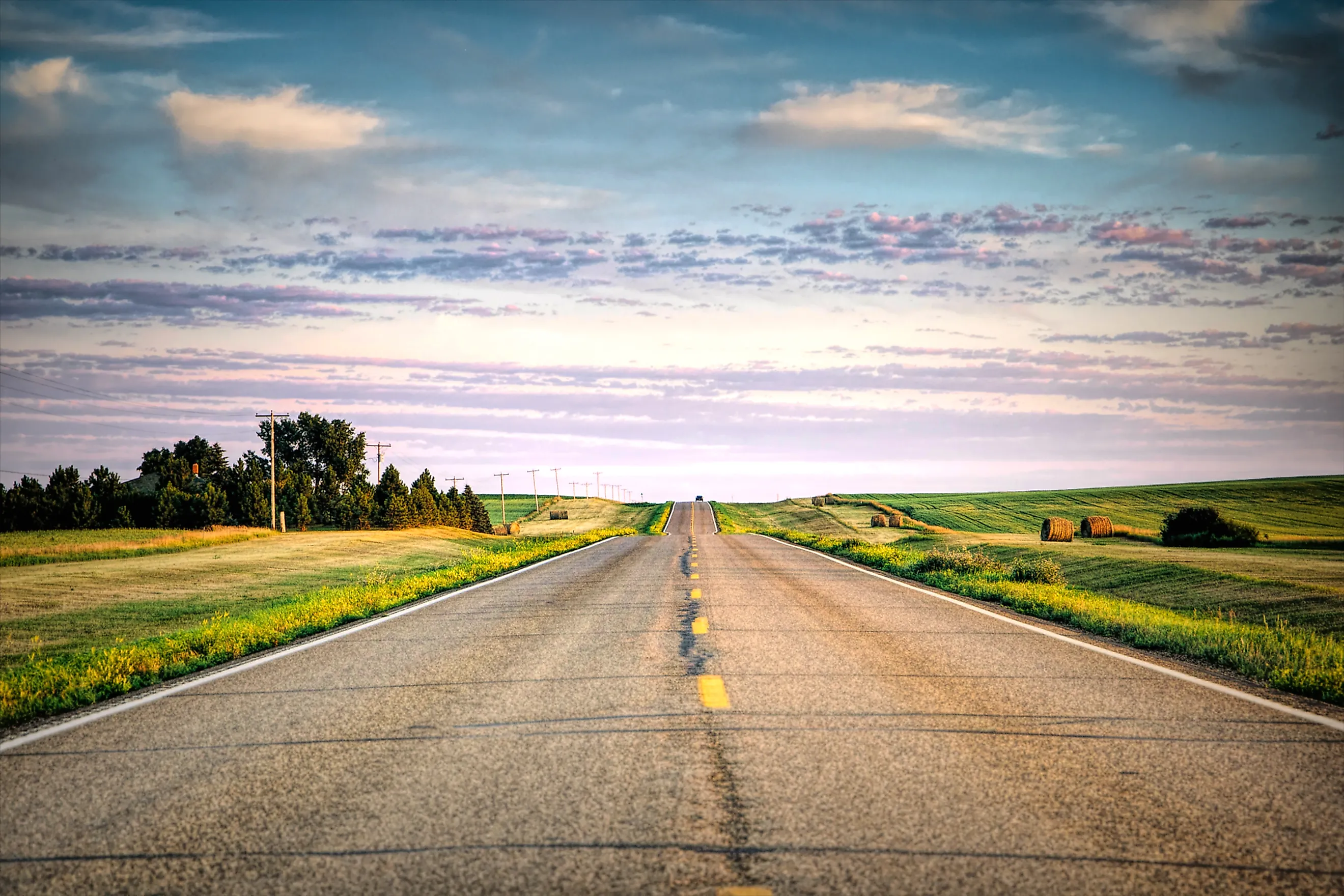
America's highways are known for their twists and turns, but North Dakota Highway 46 is recognized for the opposite. It is the road most often named as the straightest in America, running approximately 121 miles (195 kilometers) across the Great Plains on an alignment that barely wavers from due east-west. How firmly it holds that title depends on how straightness is measured, and by the strictest measure it does not hold it at all. What is not in dispute is that few paved roads in the US or Canada run so far in a single direction.
What 'Straightest' Actually Means

The definition of the straightest highway can mean several different things. The criteria could be the longest distance without measurable deviation. It could be the longest section with negligible bends. Or it could simply be the straightest interstate. The distinction matters because a road can appear straight while still containing small curves, and those curves are measured with geographic coordinates rather than by eye. If the definition is purely mathematical, nearly every highway fails it, because most straight roads carry some form of adjustment or slight curve. Straight-road claims therefore rely on continuous alignment over distance, and researchers use mapping data, centerlines, and GIS to determine how far a road runs in a consistent direction.
ND-46 is a clear illustration of the problem. State transportation mapping describes the route as a nearly perfect straight line with minor deviations across its full course, including a shift where it crosses the Sheyenne River. Drivers and writers who have measured the road put its longest section with no deviation at all somewhere between 27 and 40 miles, depending on the tolerance applied. So ND-46 has the edge on total distance held in one direction and falls short on longest unbroken line. That split is the whole reason the title is disputed.
North Dakota Highway 46

North Dakota Highway 46 is a 2-hour drive with almost no perceptible curve or grade. The highway was designated as ND-46 in 1939, fully paved in 1964, and travels mostly due west from Interstate 29 (at Exit 48) to ND-30 near Streeter. Surveyors laid it out along township and county boundary lines, holding the alignment across the Red River Valley. The route also runs concurrent with ND-32 for about six miles along the Ransom and Barnes county line. It is an agricultural corridor today, maintained by the North Dakota Department of Transportation, and it links rural residents and travelers passing through.
Why North Dakota Has Such Straight Roads

ND Highway 46 is a product of the Great Plains environment. Whereas many highways have to be built through or alongside mountains and forests, ND 46 crosses a terrain with very few natural obstacles. The flat landscape made it easier for engineers to follow survey lines established throughout the area's historic land grid. The route also passes through rural communities and farmland rather than major urban centers.
North Dakota's other straight roads were built along the same guidelines. Surveyors mapped much of the Great Plains using the Public Land Survey System. This grid-based approach helped them divide the land into rectangles. Engineers then routed transport corridors to follow those property boundaries and survey lines, which is why so many roads ended up running straight. That same grid runs south across the plains, which is where ND-46's most serious challenger was laid out.
Oklahoma Disputes The Title

US Route 412 runs razor-straight through the Oklahoma Panhandle in two long stretches. The first covers 47.7 miles (76.8 kilometers) between Boise City and a point just west of Guymon. The road bends for roughly 24 miles, then resumes and holds a straight line for another 65.5 miles (105.4 kilometers) between Hardesty and a point just east of Slapout. Both stretches are longer than any single unbroken straight section of ND-46, which is the basis for Oklahoma's claim. Because the two are not continuous, though, they cannot be combined into one record, and neither matches ND-46 for total distance on a single alignment.
Apart from being one of the straightest roads in America, Route 412 has another (unwanted) distinction. Some drivers rank it among the most feared road trips in the country. That fear comes from the possibility of breaking down on this straight road far away from services and amenities. It also comes from Oklahoma's severe weather, including tornadoes.
Interstate 80 Runs Flatter, Not Longer

If the criteria shift to the straightest interstate rather than the straightest highway, the answer could be Interstate 80 in Utah. The state's Bonneville Salt Flats are one of the flattest landscapes in the country, so I-80 crosses a large area with little to no curve, roughly 30 miles of it. Because the Flats are so flat, drivers also use the area for land-speed record attempts. That 30-mile run is comparable to ND-46's own unbroken section, but it covers nothing like the same total distance, and it is not usually counted as the longest continuous straight paved highway segment. What I-80 has instead is the Interstate Highway System standard, designed for high-speed travel between major cities, which makes its straightness far more noticeable at 80 miles an hour than ND-46's is at 65.
Driving America's Straightest Highway

Those who are used to driving long, straight roads will find nothing spectacularly different about driving ND-46. First-time drivers, though, may have to fight boredom and highway hypnosis along the way. There is not much to see except for fields and the occasional wind turbine or farmhouse, and services are few and far between. Strong crosswinds are a factor depending on the weather.
Minimal steering does not mean minimal attention. Drivers heading this way should fill up the gas tank and make sure the car is in good working order, and it is worth packing bottled water, snacks, and emergency supplies. Checking the weather report before leaving is advisable, as is keeping an eye out for slow-moving tractors or deer crossing the road.