The History of Cartography
The art and science of cartography, or map-making, is as ancient as civilization itself. From etchings on cave walls to digital maps on smartphones, the journey of cartography is a fascinating reflection of human ingenuity and our desire to understand and navigate our world. Reading further will guide you to explore the rich history of cartography, tracing its evolution from the rudimentary sketches of ancient times to the sophisticated digital maps of the modern era. We'll examine how maps have not only depicted our world but also shaped our perception of it, playing a crucial role in exploration, trade, and even geopolitics. Get ready for a journey through time, exploring the milestones and transformations in the art of map-making.
Early Beginnings and Ancient Cartography

The history of cartography is as old as humanity's first endeavors to understand and represent the world around us. The earliest forms of map-making can be traced back to prehistoric times, with cave paintings that often depicted hunting grounds or water sources. However, with the rise of ancient civilizations, cartography began to take a more recognizable form.
In ancient Mesopotamia, considered the cradle of early cartography, maps were primarily used for land surveying and administrative purposes. One of the earliest known maps, dating back to the 5th millennium BCE, is a clay tablet depicting a stretch of land along the Euphrates River. These early maps were rudimentary, focusing on practical information rather than geographical accuracy.
The ancient Egyptians also made significant contributions to early cartography. They created maps for practical purposes, such as the famous Turin Papyrus Map showing a gold mining region, and for religious purposes, like depictions of the afterworld in tomb paintings.
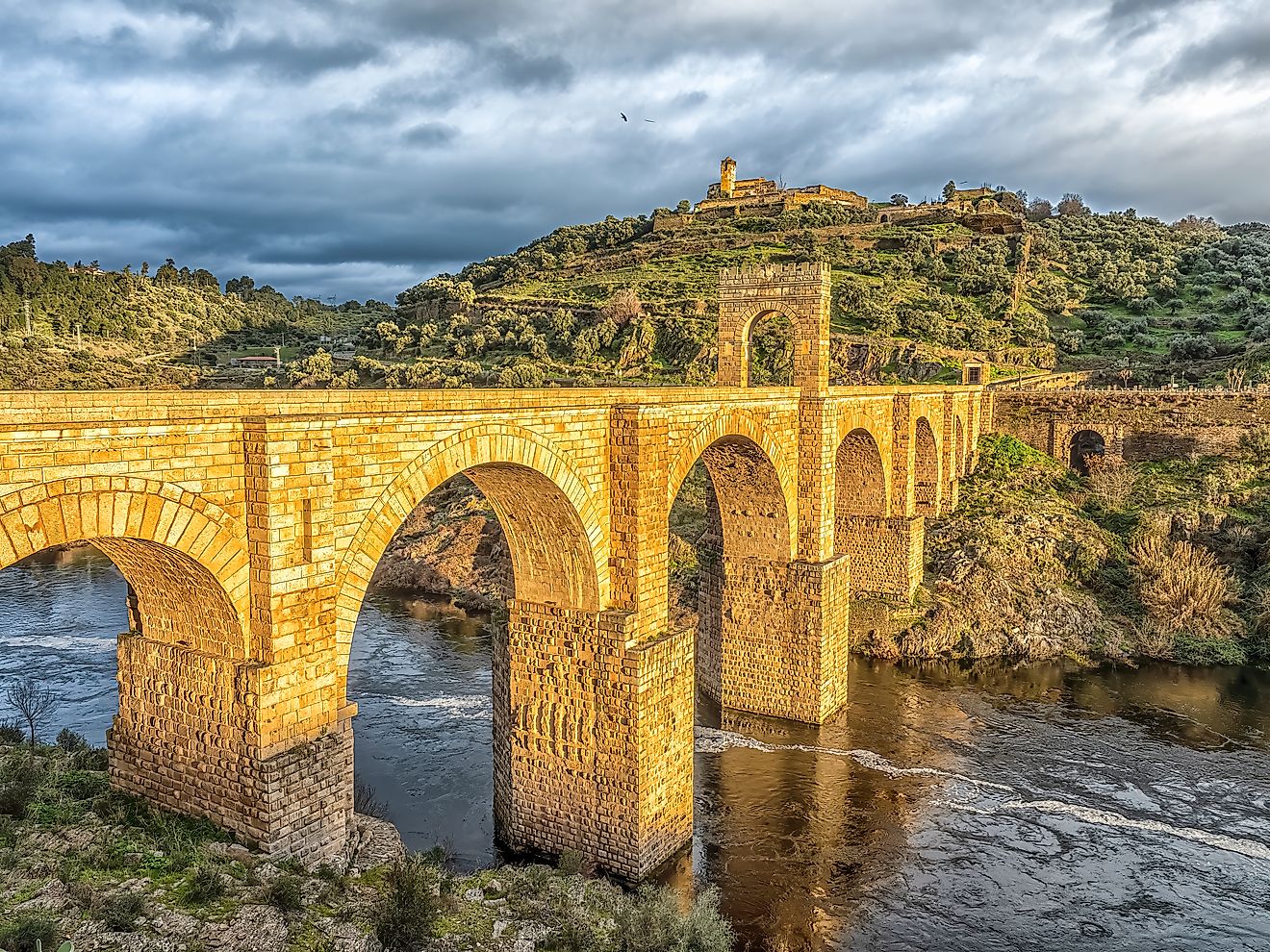
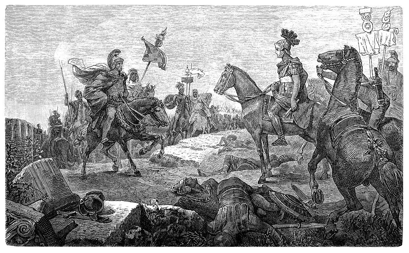
The Greeks and Romans further advanced cartography, moving it towards a more scientific and exploratory phase. Anaximander, a Greek philosopher, is credited with creating one of the first maps of the world, albeit a highly speculative one. Eratosthenes, another Greek scholar, made significant strides by calculating the Earth's circumference with remarkable accuracy for his time. The Romans, known for their extensive road networks, produced maps like the Tabula Peutingeriana, which detailed their vast empire’s roads. Parallel to developments in the Western world, Chinese cartography evolved independently. The earliest known Chinese map, the State of Qin map on silk (circa 3rd century BCE), reflects a high degree of technical skill and an understanding of cartographic principles.
These ancient maps, while often inaccurate by modern standards, were crucial in the evolution of cartography. They not only served practical needs but also reflected the worldview and scientific understanding of their creators. As civilizations advanced, so did the art of map-making, setting the stage for more detailed and accurate representations in the future.
Medieval Maps and Their Symbolism

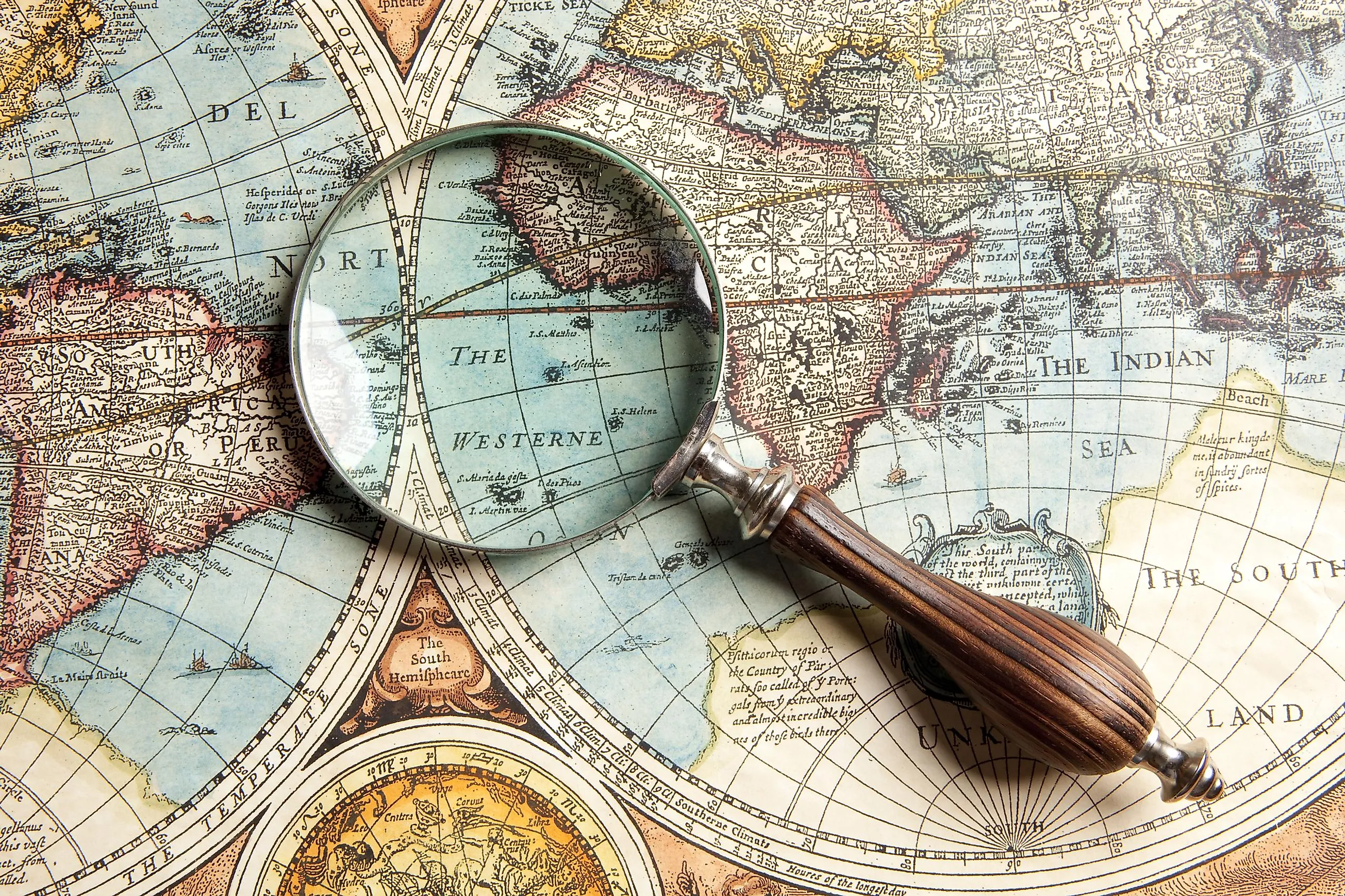
Cartography took on a unique character during the medieval period, blending geography with artistic and religious symbolism. This era’s maps were less about precise navigation and more about illustrating a worldview shaped by religious and cultural beliefs.
The Mappa Mundi, or world maps of the medieval era, are prime examples of this period's cartographic style. One of the most famous is the Hereford Mappa Mundi, created around 1300 AD. These maps often depicted a flat Earth, with Jerusalem at the center, symbolizing its spiritual significance in the Christian world. The orientation of these maps was not for navigation but to convey a religious message, with east, not north, at the top, representing the direction of Eden and the rising sun.
Medieval maps were rich in allegorical and symbolic elements. They often included illustrations of biblical events, mythical creatures, and known landmarks of the time. The borders of the known world were marked with phrases like 'Here be dragons,' indicating unknown territories filled with potential dangers and wonders. These maps were as much works of art as they were geographical representations.
Amidst the symbolism-dominated cartography of the period, there were significant advancements in nautical maps, known as portolan charts. These charts, used primarily for maritime navigation, were more precise and detailed, showing coastlines, harbors, and navigational hazards. They marked a departure from the symbolic maps of the time, laying the groundwork for more scientific approaches in later periods.
Medieval maps, therefore, were a fusion of science, art, and religion. They tell us as much about the geographical knowledge of the time as they do about the cultural and spiritual beliefs of medieval society. This period in cartography was a bridge between the ancient world's rudimentary mapping and the more accurate scientific approaches that would develop in the Renaissance and beyond.
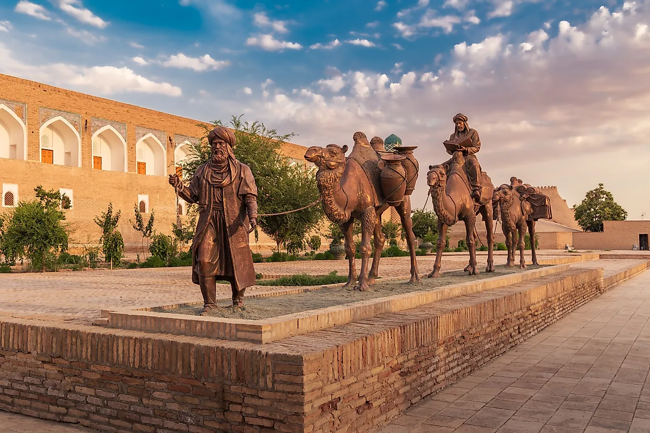
The Age of Exploration and Nautical Cartography

The Age of Exploration, a period marked by global maritime expeditions and territorial discoveries, catalyzed significant advancements in the field of cartography. This era was defined by a growing appetite for exploration and an increased need for accurate navigational tools, leading to remarkable progress in map-making techniques.
The driving force behind many of these advancements was the demand for precise nautical charts. These charts, essential for safe and efficient sea travel, began to include detailed coastlines, port locations, and information about ocean currents and tides. The accuracy of these maps was vital for navigators like Christopher Columbus and Vasco da Gama, who relied on them to traverse unknown waters and establish new trade routes.
This period saw the creation of some of the first maps that resembled the modern understanding of the world. The Cantino Planisphere, for example, is one of the earliest surviving maps to depict the New World. Another significant contribution was the Waldseemüller map, which was the first to use the term 'America' to name the newly discovered continent.
The Age of Exploration expanded the geographical horizons of the European world. Cartographers began incorporating newly discovered lands into their maps, drastically altering the world's perceived shape and size. This era's maps were instrumental in shaping European understanding of global geography and were crucial in the planning of further explorations and colonial ventures.
Advancements in cartographic technology, such as improved methods for determining longitude and latitude, played a crucial role. Additionally, there was an increasing collaboration between explorers, scientists, and cartographers, which allowed for the continuous updating and refining of maps based on new discoveries and observations.
In conclusion, the Age of Exploration was a pivotal period in the history of cartography. It marked the transition from largely speculative maps to more accurate and detailed representations of the world, driven by the practical needs of navigation and exploration. The maps from this era laid the foundations for the modern science of map-making and greatly expanded the European understanding of the world's geography.
Enlightenment and the Rise of Scientific Cartography

The Enlightenment era heralded a new age in cartography, characterized by a shift towards scientific accuracy and precision. This period was marked by a growing emphasis on empirical evidence and rational thought, which significantly influenced the development of map-making.
During the Enlightenment, cartography transitioned from being an art form infused with symbolic representations to a science rooted in empirical observation. The accuracy of maps improved dramatically, with cartographers paying closer attention to details such as scale, distance, and topography. This shift mirrored the broader Enlightenment ideals of reason, evidence-based understanding, and the pursuit of knowledge.
Gerardus Mercator, a Flemish cartographer, made one of the most significant contributions to map-making with the Mercator projection. Although this projection distorts sizes, particularly near the poles, it was revolutionary in its ability to represent lines of constant compass bearing, making it invaluable for navigation. Another key figure was Giovanni Domenico Cassini, who produced the first topographic map of France, showcasing remarkable accuracy.
Despite these advancements, Enlightenment cartographers faced challenges in representing the three-dimensional world on a two-dimensional surface accurately. This era saw the development of various map projections, each with its own method of tackling this challenge, yet none could solve it completely without some distortion.
The improved accuracy of maps during the Enlightenment had a profound impact on society. Maps became more reliable tools for navigation, exploration, and understanding the world. They also played a crucial role in the scientific advancements of the era, aiding in fields like astronomy, geology, and biology.
In conclusion, the Enlightenment era was a turning point in the history of cartography. The shift towards scientific rigor and precision in map-making reflected the broader intellectual currents of the time and laid the groundwork for the further evolution of cartography in the centuries to follow.
Modern Cartography and Technological Advances

In the modern era, cartography has undergone transformative changes, primarily driven by technological advancements. The shift from manual to digital mapping has revolutionized how maps are created, used, and accessed, making them more accurate, versatile, and accessible than ever before.
The introduction of digital technology in cartography marked a significant departure from traditional map-making methods. Digital mapping allows for the storage, analysis, and display of geographic information in dynamic and interactive formats. Geographic Information Systems (GIS) have become indispensable tools in various fields, including urban planning, environmental management, and disaster response.
The use of satellite imagery and aerial photography has dramatically enhanced the accuracy and detail of maps. These technologies provide comprehensive and up-to-date geographic data, enabling cartographers to create highly accurate representations of the Earth's surface. The ability to regularly update satellite imagery ensures that maps remain relevant in a rapidly changing world.
The integration of the Global Positioning System (GPS) with digital mapping has had a profound impact on navigation and location-based services. GPS technology enables real-time location tracking, which, when combined with digital maps, facilitates efficient navigation and logistics management.
Modern technology has democratized the field of cartography. Platforms like Google Earth and OpenStreetMap allow users to access detailed maps from anywhere in the world, contribute to map data, and even create custom maps. This widespread accessibility has changed the way people interact with maps and has broadened the scope of their application.
While modern cartography offers numerous advantages, it also presents challenges. Issues such as data privacy, the digital divide, and the representation of disputed territories are ongoing concerns. Looking to the future, the integration of emerging technologies like augmented reality (AR) and artificial intelligence (AI) is set to transform the field further, offering new ways to visualize and interact with geographic data.
In summary, the evolution of cartography in the modern era has been marked by significant technological advancements. These developments have not only improved the accuracy and utility of maps but have also reshaped the relationship between humans and geographic information.
The journey through the history of cartography reveals the evolution of map-making from an ancient art to a modern science. Each era's maps reflect not only the geographical knowledge of the time but also the cultural, political, and technological contexts of their creators. Modern cartography, with its digital sophistication, has expanded the horizons of how we visualize and interact with spatial information. Yet, it's important to remember that all maps, whether ancient or modern, are human creations subject to limitations. They tell us as much about the way we view the world as they do about the world itself. As cartography continues to evolve, it remains a critical tool in our quest to understand, navigate, and represent our ever-changing planet.