10 Great Road Trips to Take in North Dakota
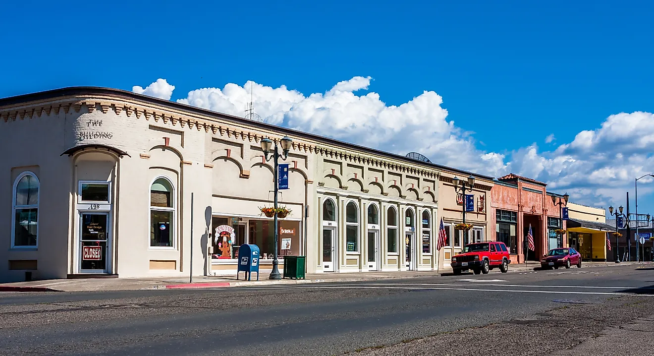
North Dakota's best road trips link Theodore Roosevelt National Park's badlands with the shorelines of Lake Sakakawea and stretches in between. Ten designated scenic byways and backways cover the rest. They cross river valleys, prairie potholes, and some of the most remote landscapes in the Great Plains. Routes like the South Unit Scenic Loop Drive and the Turtle Mountain Scenic Byway show how much the scenery shifts between the western badlands and the forested northern border. The drives below stick mostly to those designated routes with mileages and seasonal notes that matter for planning.
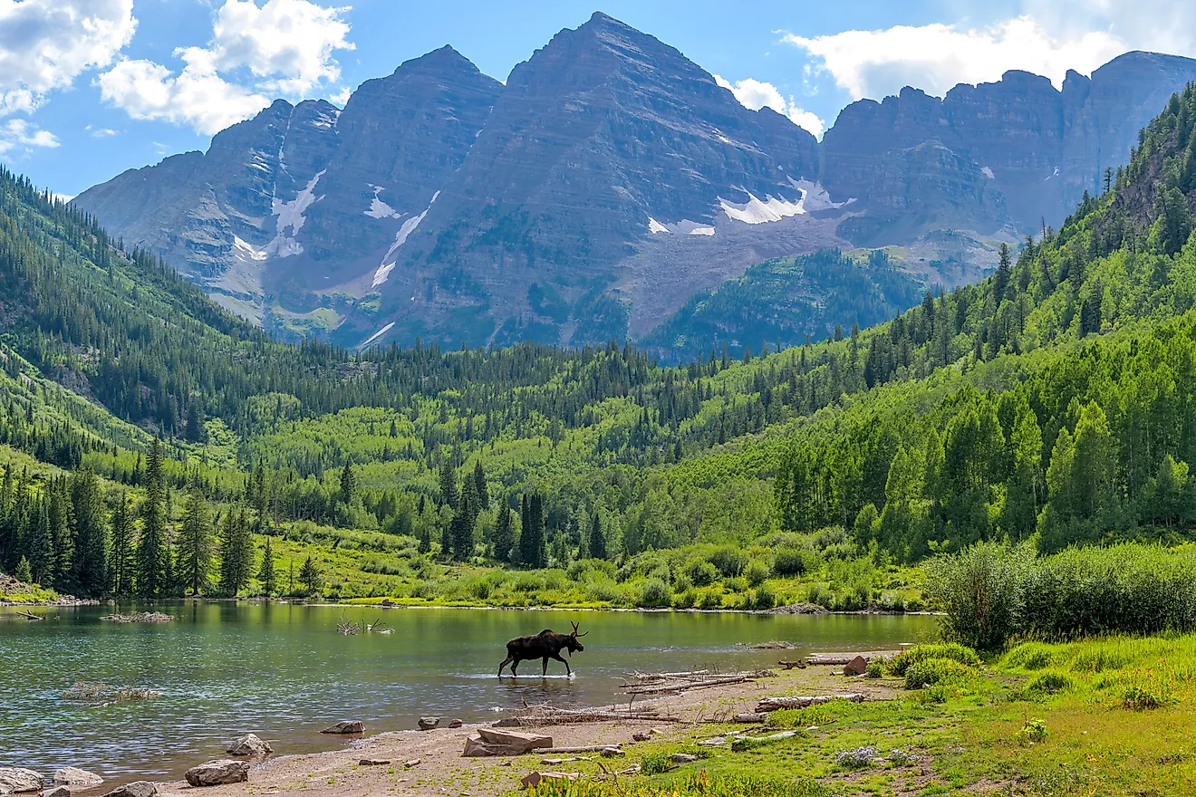
Theodore Roosevelt National Park - South Unit Scenic Loop Drive

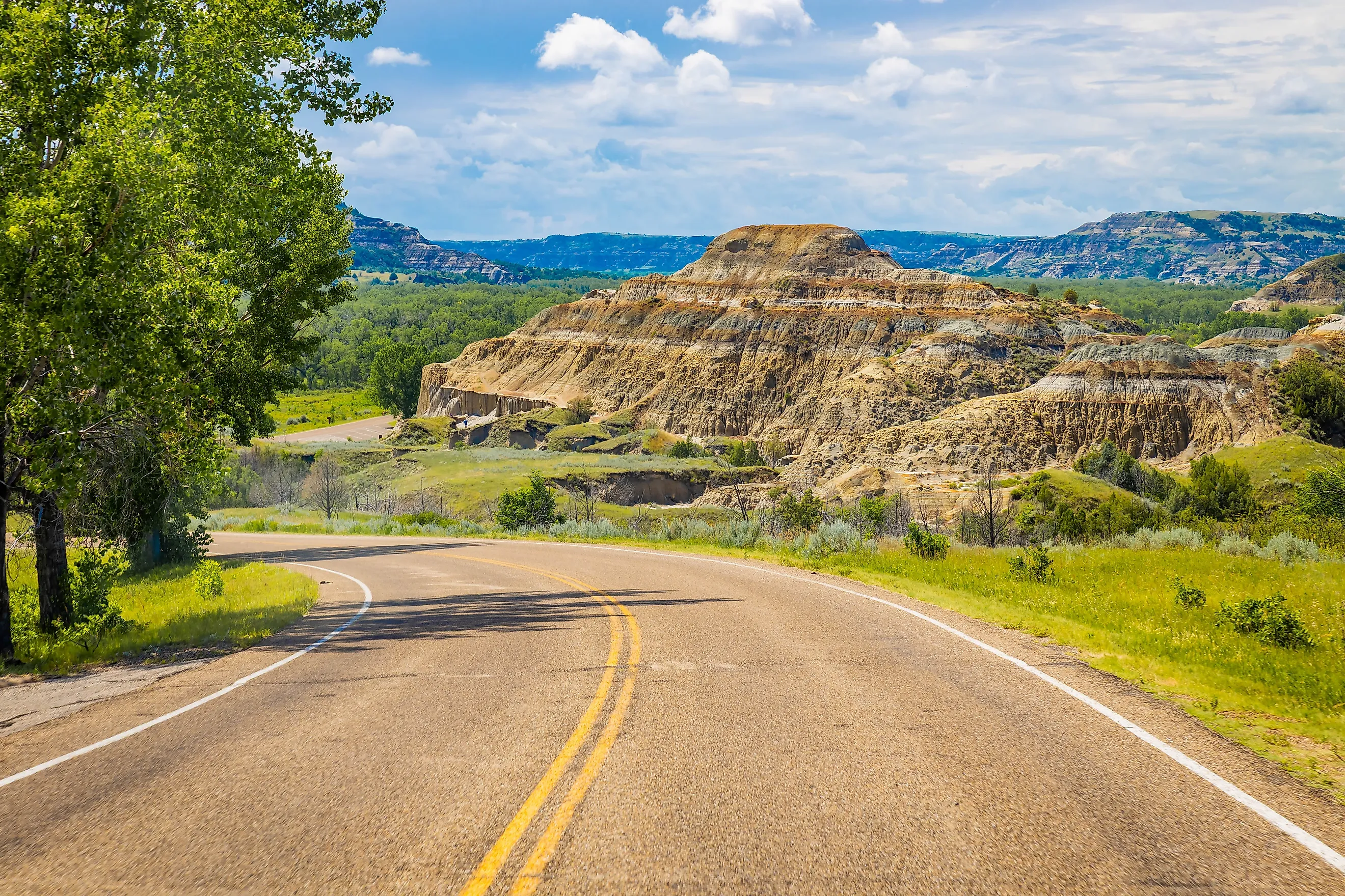
The South Unit loop is the most concentrated stretch of badlands driving in the state, and the easiest to fit into a single afternoon out of Medora. The full loop runs 36 miles and begins just past the entrance station on Pacific Avenue. Erosion has closed sections of the road in recent years, occasionally limiting the length and route, so checking the National Park Service updates for current conditions before heading in is worthwhile.
Counterclockwise, the route hits Skyline Vista, the prairie dog town just north of the visitor center, Scoria Point Overlook, Boicourt Overlook, and the short walk up to Wind Canyon, where the Little Missouri makes a sharp bend. Buck Hill, the highest point accessible by road in the park at 2,855 feet, sits about two-thirds of the way. The Coal Vein and Ridgeline nature trails add short walks if there is time. Bison frequently block the road, especially in the prairie dog towns near Peaceful Valley Ranch, so the Park Service minimum is 90 minutes, but three to four hours is realistic, especially if you stop for the views. Entrance is $30 per vehicle, valid for seven days for both units.
Theodore Roosevelt National Park - North Unit Scenic Byway

The North Unit gets a fraction of the South Unit's traffic and feels noticeably wilder. The scenic byway is 14 miles each way, and it does not loop, so plan on 28 miles round-trip between U.S. Highway 85 and Oxbow Overlook at the western end. The entrance sits 14 miles south of Watford City and 50 miles north of Belfield, with Highway 85 being the only paved approach.
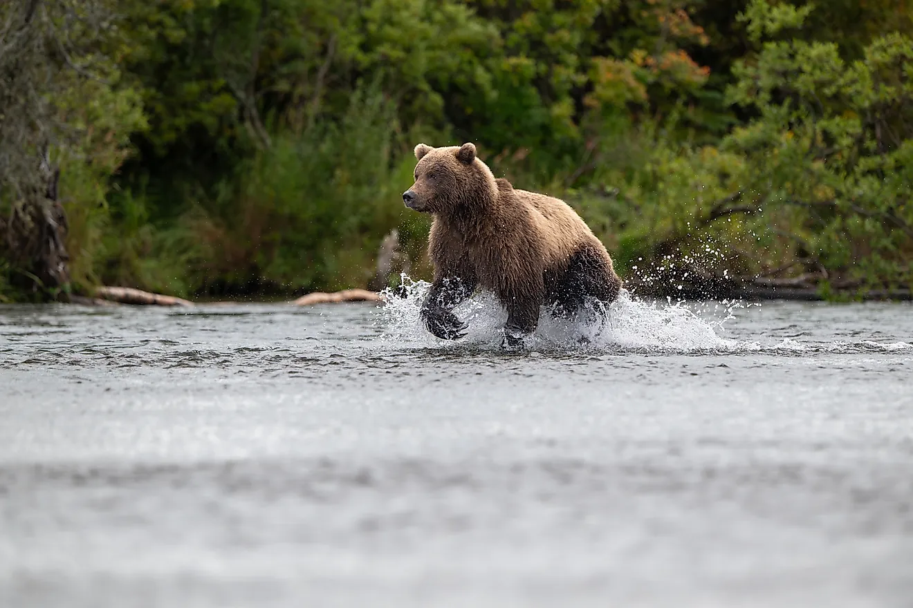
The drive climbs out of the Little Missouri floodplain and onto a high plateau, with most of the unit designated wilderness. Pullouts worth the stop include the Cannonball Concretions, where erosion has exposed near-perfect spheres of sandstone. River Bend Overlook has a Civilian Conservation Corps shelter built in the 1930s, and Edge of Glacier Pullout marks the southern reach of the last ice age. Wildlife here includes bison, longhorn steers from the historic demonstration herd, bighorn sheep, and over 185 bird species. The Little Mo Nature Trail offers a 1.1-mile outer loop and a 0.7-mile ADA-accessible paved inner loop along the river. The North Unit runs on Central time and the South Unit on Mountain time. Juniper Campground has 50 sites, nine of which are for tents and one for larger groups.
Killdeer Mountain Four Bears Scenic Byway

The Killdeer Mountain Four Bears Byway covers 64 miles between Manning and New Town and is the route that best captures western North Dakota's range. It moves through uplands, breaks country, Lake Sakakawea, and the Fort Berthold Reservation in a single drive. Start at Highway 22, 23 miles north of Dickinson at Manning, and run north through Killdeer to Highway 23, then east to New Town. Without stops, expect about 90 minutes.
Lake Ilo National Wildlife Refuge, 4,034 acres between Killdeer and Dunn Center, is the first major stop and gives a sense of the wetland-prairie transition. The Killdeer Mountain Battlefield State Historic Site, 8.5 miles northwest of Killdeer off the byway, marks the July 28, 1864, battle between Brigadier General Alfred Sully's forces and a gathering of Yanktonai and Dakota Sioux. A sandstone monument and flagpole mark the field. Roughly 20 miles north of Killdeer, Little Missouri State Park offers over 45 miles of trail through some of the most rugged terrain in the state, though most of it is hike- or horse-access only.
The byway then crosses Lost Bridge over the Little Missouri before climbing onto the Fort Berthold Indian Reservation, home of the Mandan, Hidatsa, and Arikara Nation. Crow Flies High State Recreation Area, just before the Four Bears Memorial Bridge over Lake Sakakawea, has the best overlook of the lake and bridge on the route. The bridge itself, nearly 4,500 feet long and opened in 2005 to replace the relocated 1934 span, is the byway's signature crossing.
Enchanted Highway

Calling this one a scenic byway would be misleading. It is a folk-art corridor, and the drive itself is straight prairie. What makes it worth doing is the seven enormous scrap-metal sculptures spaced along 32 miles of County Highway 21 between I-94 Exit 72 near Gladstone and the town of Regent. Gary Greff, a former school principal in Regent, started building them in 1989 to keep his hometown on the map. The state added $75,000 to its 2019-2020 budget to help with upkeep, and the route now draws about 6,000 visitor cars a year.
Heading south from I-94, the sculptures appear in this order. Geese in Flight sits at Mile 0, visible from the interstate and standing 110 feet tall and 154 feet wide. Deer Crossing follows at Mile 3, then Grasshoppers in the Field at Mile 15, Fisherman's Dream at Mile 19, Pheasants on the Prairie at Mile 24, Teddy Rides Again at Mile 26, and the Tin Family at Mile 30. Each pull-off has parking and a kiosk except Geese in Flight, which is meant to be seen from the freeway. The 32-mile drive takes about 90 minutes with photo stops. Regent's Enchanted Castle motel and restaurant, run by Greff, is the only food and lodging at the south end, so plan accordingly.
Sakakawea Scenic Byway

At 23 miles, the Sakakawea Scenic Byway is one of the shortest official byways in the state, but the density of Lewis and Clark history along Highway 200A between Washburn and Stanton makes it the strongest history drive in North Dakota. The route runs across the Missouri River about 40 miles north of Bismarck-Mandan.
Start at the Lewis and Clark Interpretive Center in Washburn, which features exhibits on the expedition and the artwork of Swiss artist Karl Bodmer, known for his detailed depictions of Upper Missouri tribes. Fort Mandan, the expedition's 1804-1805 winter post, sits two miles away and has been reconstructed near the original site. Fort Clark State Historic Site preserves the foundations of an 1830s fur-trading post and the Mandan village of Mih-tutta-hang-kusch, hit hard by the 1837 smallpox epidemic. The byway ends at Knife River Indian Villages National Historic Site outside Stanton, where the archaeological remains of three Hidatsa villages, including Sakakawea's home before she joined the expedition, sit along the Knife River.
Old Red Old Ten Scenic Byway

The longest of the state's designated byways at 108 miles, Old Red Old Ten runs parallel to I-94 between Mandan and Dickinson and represents the original alignment of U.S. Highway 10, which ran from Detroit to Seattle. It became North Dakota's 10th scenic byway in 2008. Most of it is paved, with a 12-mile gravel section near Almont called the Curlew Loop.
Start at the Mandan Depot on West Main Street. Heading west on Old Highway 10, Salem Sue appears outside New Salem, a 38-foot fiberglass Holstein on School Hill, billed as the world's largest cow statue. Sims, just south of the byway near Almont, holds the oldest Lutheran congregation west of the Missouri in North Dakota, first established in 1884, and the current building is still in use. Schnell Recreation Area, a 2,000-acre non-motorized nature preserve, sits between Hebron and Richardton. The byway ends in Dickinson at the Dickinson Museum Center, home to the Badlands Dinosaur Museum. About 30 coffee shops along the route make up an unofficial "Coffee Cruise."
Standing Rock National Native American Scenic Byway

The Standing Rock Byway is 35 miles inside North Dakota, running south from the Cannonball River along Highways 1806 and 24 to the South Dakota state line. The entire route lies within the Standing Rock Sioux Reservation, and continues south on the South Dakota side as part of a longer multi-state scenic corridor.
The drive hugs the west bank of Lake Oahe, the 370,000-acre Missouri River reservoir that runs 231 miles south to Pierre. Prairie Knights Casino & Resort, run by the Standing Rock Sioux Tribe, sits along the lake and has a marina, RV sites, and direct access to the Lewis & Clark Legacy Nature Trail. The byway then passes Fort Yates, the tribal headquarters, where the original 1890 burial site of Sitting Bull is marked along the entrance road. The Standing Rock Monument itself, a stone form said to represent a Dakota woman and child turned to stone, gives the reservation its name and sits a short walk from the Sitting Bull Visitor Center. The Fort Yates Stockade rounds out the historic sites. Lewis and Clark stopped along this stretch 14 times during their expedition, and the route is the final resting place of Sakakawea according to oral tradition.
Sheyenne River Valley National Scenic Byway

The Sheyenne River Valley Byway runs 63 miles and was North Dakota's first nationally designated scenic byway, recognized by the state in 1997 and by the federal government in 2002. The Sheyenne is the longest river entirely within North Dakota. The valley between Baldhill Dam and Lisbon is up to 330 feet deep and a mile wide, the largest meltwater trench in the eastern part of the state, carved by the receding Wisconsin glacier roughly 13,000 years ago. The byway begins at Getchell Township Hall on Barnes County Highway 21, runs through Valley City on Highways 17 and 19, then continues south on Highway 21 and Ransom County Highway 13 to Lisbon. Forty-one interpretive panels are spaced along the route.
Lake Ashtabula, formed by Baldhill Dam, anchors the northern end with 5,000 acres of water, 73 miles of shoreline, and 35 miles of the North Country National Scenic Trail along its banks. Valley City, the "City of Bridges," has many historic crossings, including the Hi-Line Railroad Bridge, a 3,860-foot structure built in 1908 that carries the BNSF main line about 162 feet above the river. South of town, Medicine Wheel Park has solstice and equinox markers built by a former Valley City State University astronomy professor. The Wadeson Cabin (1876) sits near Kathryn, and Clausen Springs Recreation Area covers 545 acres a few miles farther on. Standing Rock State Historic Site protects a series of Native American burial mounds dating from roughly 100 BC to 600 AD, perched on a grass bluff over the river.
Turtle Mountain Scenic Byway

This is the route to drive if the idea of treeless North Dakota needs correcting. The Turtle Mountain Byway runs 53 miles through the forested hills of Bottineau and Rolette Counties along the Canadian border, where the terrain is the southern lobe of a glacial moraine that rises a few hundred feet above the surrounding wheat country. The byway begins three miles north of Rolla on Highway 30, runs to St. John, then heads west on Rolette County Highway 43 (which becomes Highway 43 at U.S. Highway 281) and ends at Highway 14.
Bottineau, the regional service town 80 miles northeast of Minot, makes a good starting base, and the 30-foot turtle-on-a-snowmobile statue there is the world's largest of its kind. The Martineau House in St. John serves as the byway visitor center. Lake Metigoshe State Park, built by the WPA in the 1930s, has 13 miles of trail and shoreline that straddle the U.S.-Canada border. Wakopa Wildlife Management Area adds fishing and primitive camping. Further along, the International Peace Garden, established in 1932 to mark the longest undefended border in the world, covers 2,339 acres straddling North Dakota and Manitoba, with more than 150,000 flower varieties in peak bloom from mid-July through August. A passport or a government-issued ID card is required to enter the garden, whether or not you plan to cross into Canada.
Rendezvous Region Scenic Backway

The Rendezvous Region Backway covers 33.5 miles along the Pembina River and Pembina Gorge in the far northeast corner of the state, beginning on Highway 55 near Vang, running east to Walhalla, then southeast for 22 miles past Icelandic State Park to end on Highway 5 in Cavalier. Some sections are gravel rather than blacktop, hence the "backway" designation. The Pembina Gorge is one of the deepest and steepest river valleys in North Dakota and is home to the largest uninterrupted block of woodlands in the state.
Pembina Gorge State Recreation Area, west of Walhalla, offers a 12-mile looped trail for hiking, biking, horseback riding, and off-highway vehicles. Frost Fire Park, seven miles west of Walhalla, is the only place in the state with a chairlift-served downhill mountain bike park and an alpine ski hill. The Masonic Scenic Overlook outside Walhalla sits at 1,155 feet, along the highest point on the route, with views down into the gorge. Past Walhalla, Tetrault Woods State Forest covers nearly 600 acres along the river's bend below the bluffs. The Gingras Trading Post State Historic Site preserves the 1840s home of Antoine Blanc Gingras, a Metis legislator and fur trader, with the original timbered structure still standing.
The Pembina River is the only river in North Dakota with runnable whitewater. Peak flow is in May and June, fed by snowmelt, and by late summer the river is too shallow to paddle. Canoe access points are at Vang Bridge, Brickmine Bridge, and the Highway 32 White Bridge.
Putting A Trip Together
Together, these ten road trips show the variety packed into North Dakota, from badlands, bison, and Missouri River overlooks to forested hills, historic sites, and some of the state's most remote corners. Summer through mid-October is the best overall window for most routes, though seasonal highlights like Pembina River whitewater and peak blooms at the International Peace Garden can make specific drives even more rewarding. Wherever the route leads, carrying a downloaded map and keeping the fuel tank topped up is a smart idea once you leave the larger towns behind.