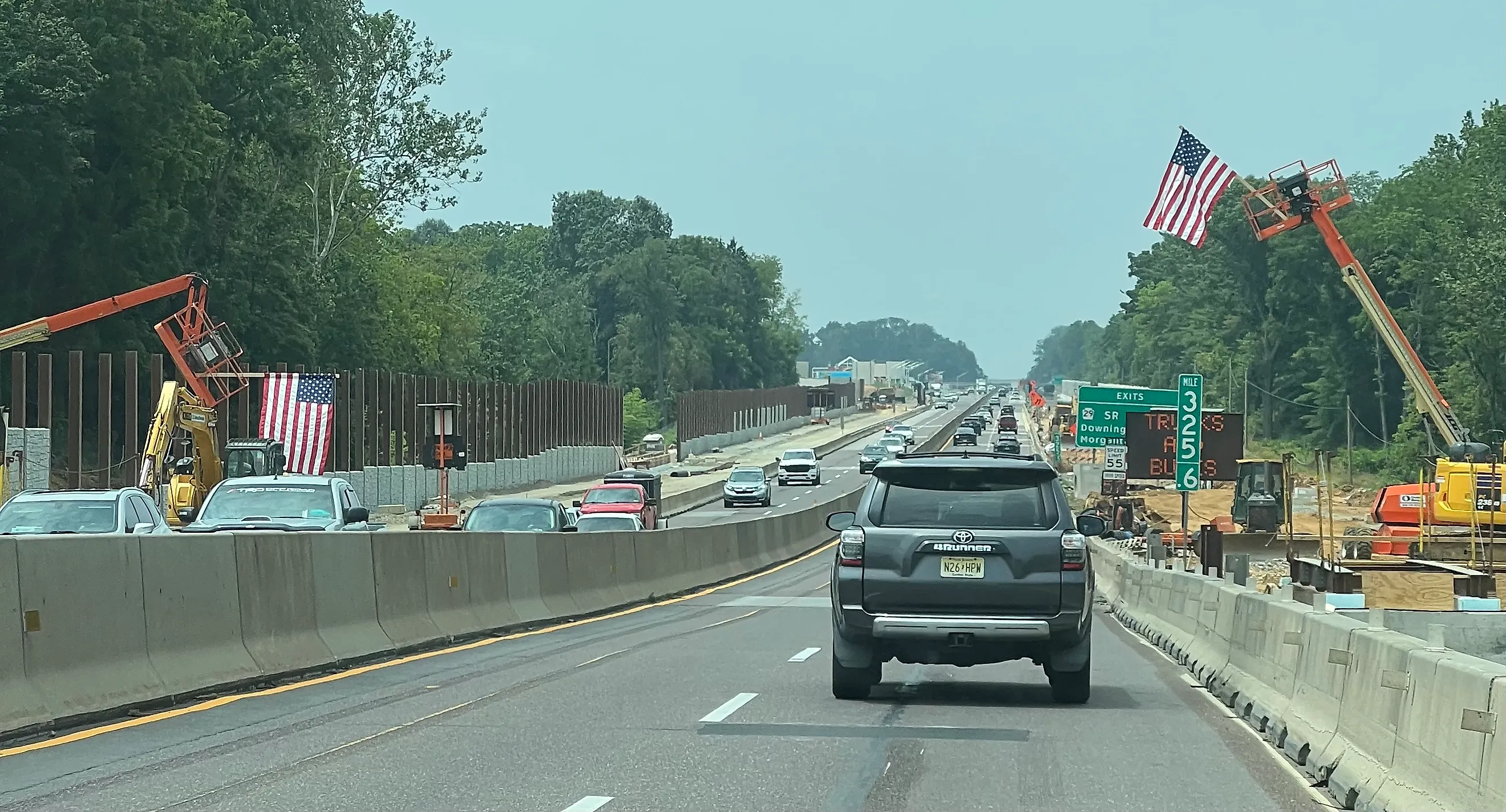
The First Interstate Highway Ever Built In America
Drivers heading west out of Harrisburg once faced a slow grind over the Allegheny ridges on the old Lincoln Highway, stuck behind trucks laboring up every grade. That changed on October 1, 1940, when the Pennsylvania Turnpike opened its first 160 miles between Carlisle and Irwin. The road had no stoplights, no cross traffic, and no sharp mountain switchbacks. Engineers had designed it years before the federal government defined the Interstate Highway System, yet it already met nearly every standard that system would later require. That head start is why many transportation historians treat the Pennsylvania Turnpike as the first true interstate highway in America, ahead of the two Midwestern claims that share the title.
Why the Pennsylvania Turnpike Comes First

Historians define an interstate highway as a multi-lane, limited-access expressway with graded curves, no stoplights, and no at-grade intersections. The Pennsylvania Turnpike met that definition in 1940. When Congress codified the Interstate System sixteen years later, planners folded the existing toll road straight into the network, where it now carries Interstate 70 and Interstate 76.
The competing claims turn on how you word the question. If the first interstate means the first project funded under the Federal-Aid Highway Act of 1956, Missouri takes it, having broken ground on Interstate 70 in St. Charles County on August 13, 1956. If it means the first concrete paved under the Act, Kansas takes it, for a stretch of Interstate 70 near Salina paved that September. Measured as a working expressway that carried high-speed traffic and still does, the Pennsylvania Turnpike came first by sixteen years.
Building America's First Superhighway

For generations before the turnpike, travelers crossed this part of Pennsylvania on rutted log roads by horse and carriage. Canals and railroads eased the journey through the 1800s, and by 1910 planners were already floating the idea of converting an abandoned rail route into a road across the Alleghenies. The chosen path reused a string of tunnels that a failed 1880s railroad had bored through the ridges.
When the first section opened in 1940, boosters called it America's First Superhighway. The four-lane road ran 160 miles (257 kilometers) between Carlisle and Irwin, narrowing to two lanes at each mountain tunnel. Planners expected about 1.3 million vehicles a year. Drivers proved them badly wrong, putting 2.4 million cars on the road in the first twelve months, with counts reaching 10,000 on some days.
Expansion followed almost at once. Crews extended the road east to Valley Forge, opening that section in 1950. Later work pushed the western end out to the Ohio line and carried the eastern end across into New Jersey. The Northeastern Extension, running roughly 110 miles (177 kilometers) north to Scranton, was the longest single addition.
Faster travel brought faster crashes, and the commission answered with safety rebuilds. Workers added a wide median strip, widened the right-of-way to between 200 and 300 feet, recut sharp curves, and improved pavement drainage. The two-lane tunnels stayed a chokepoint, so the commission built the Sideling Hill bypass around the Sideling Hill and Rays Hill tunnels.
A $356 million program in 1970 widened the busiest sections to eight lanes and lifted the speed limit to 70 miles per hour (112 kilometers per hour). In 1985, the legislature passed Act 61, directing the Pennsylvania Turnpike Commission to finish Route 60 and take over the Mon-Fayette Expressway. Over the following years, crews added truck climbing lanes, rebuilt interchanges, installed emergency call boxes, and upgraded the toll system to weigh vehicles automatically. Widening the last two-lane tunnel finally gave the whole route four lanes end to end. On October 31, 1989, the commission counted its two-billionth traveler.
The Nineties and Beyond

The Mon-Fayette Expressway drove the next wave of construction. The California Toll Road segment opened in 1990 under the designation PA Turnpike 43. The commission launched two more expressway links that same year, one tying Interstate 68 to PA Route 43 and another tying Interstate 70 to PA Route 51. Crews also widened the Lehigh Tunnel and, in 1998, began rebuilding the oldest stretch of the original turnpike around mileposts 94 and 99.
By the 2000s, the full system reached 514 miles (827 kilometers). The commission wired the road with cameras between 2000 and 2010 and added weather stations, a truck-rollover warning system, and fog detection. E-ZPass arrived in stages, new service plazas opened, and the Mason-Dixon link extended the Mon-Fayette Expressway to connect Pennsylvania with West Virginia.
The 2010s brought Phase 2 of the Mon-Fayette Expressway and the next section of the Southern Beltway. Crews widened shoulders and rebuilt drainage across the mainline. The commission announced that the entire turnpike would go cashless under All-Electronic Tolling by 2021, then moved the switch up to March 16, 2020, when the COVID-19 pandemic emptied the toll booths.
Driving the Pennsylvania Turnpike Today

The mainline runs about 360 miles across the southern width of the state, roughly a five-and-a-half-hour drive end to end, and passes 500 miles once you count the branch extensions. A dedicated turnpike website lists travel advisories, service plaza locations, and a toll calculator. The road carries Interstate 76 across the interior of Pennsylvania as a major freight and passenger corridor, threading through mountain tunnels that include the Allegheny Mountain Tunnel and the Blue Mountain Tunnel. The American Society of Civil Engineers has designated the original turnpike a National Historic Civil Engineering Landmark.
The Other Two Contenders

The Pennsylvania Turnpike stands as the direct physical predecessor of the Interstate System and its first operating section. Two Midwestern states hold narrower but real milestones. Missouri claims the first interstate because it awarded the first construction contracts backed by Federal-Aid Highway Act money. Right after the Missouri State Highway Commission signed a contract to upgrade U.S. Route 66 into what became Interstate 44 in Laclede County, earthmoving began on Interstate 70 in St. Charles County. Missouri now posts highway signs calling I-70 the country's first interstate project, since it was the first state to break ground with federal matching funds.
Kansas counters that it laid the first pavement under the 1956 law. Crews near Salina had started grading a section of Interstate 70 before the Act was signed, using older funds, and the new Interstate rules were applied to finish the paving that September. Kansas marks the spot with an official state marker naming it the first segment of the Interstate Highway System paved under the Act.
The Abandoned Pennsylvania Turnpike

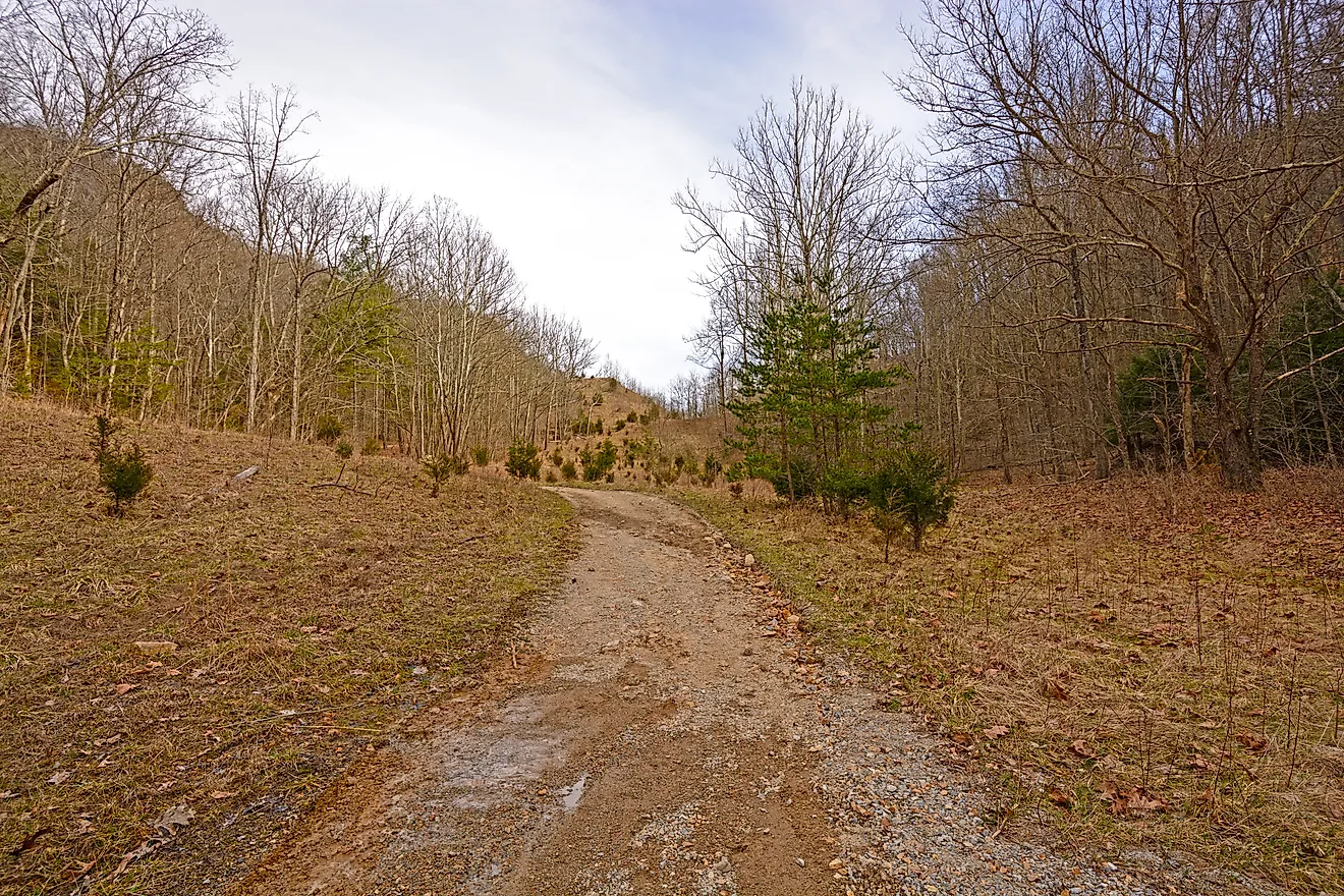
A 13-mile (21-kilometer) stretch of the original road went dark in 1968, when a new alignment opened to break the traffic jams at the Sideling Hill and Rays Hill tunnels. The Cove Valley travel plaza came down at the same time. The bypassed section sits east of the Breezewood interchange, just off I-70 eastbound. It is known today as the Abandoned Pennsylvania Turnpike. The property carries the official name Old PA Pike Trail and is often called the Pike2Bike Trail. Hikers and cyclists can walk the cracked pavement and the two unlit tunnels, though the route goes unmaintained and visitors enter at their own risk.
A Blueprint for the Interstate Age

The Pennsylvania Turnpike set the design template that federal planners copied a decade and a half later. It let cars and trucks cross the Appalachians without stoplights or slow mountain passes, cutting hours off freight and passenger runs across the state. Every later claim to the first interstate rests on a definition, and by the plainest one, a working high-speed expressway that opened in 1940 and still moves traffic today, the turnpike got there first.