This Utah Scenic Byway Is The Road Trip Of A Lifetime
Utah's Logan Canyon Scenic Byway covers 41 miles of US-89 between Logan and Garden City, climbing through the Bear River Range before dropping to the turquoise water of Bear Lake. Designated a National Scenic Byway in 2002, the route runs below canyon walls that record 500 million years of geologic history. Along the way you'll see the oldest known Rocky Mountain juniper tree, a popular ski area that's been in business since 1939, and a lake that has been nicknamed the "Caribbean of the Rockies." Here's how to turn those 41 miles into a road trip worth remembering.
A Brief History of Logan Canyon Scenic Byway

Logan Canyon was added to the Federal Highway Administration's National Scenic Byways program on June 13, 2002. Recognized for its scenic and natural qualities, the designation is well deserved, given how much sits along its 41 miles: a limestone gorge, a summit at about 7,800 feet, and a lake with four fish species found nowhere else on Earth.
Most of the land the road crosses is part of the Uinta-Wasatch-Cache National Forest. The canyon was cut by the Logan River through the limestone of the Bear River Range, a branch of the Wasatch Range that extends north into Idaho, and its exposed walls are rich in fossils. Much of the route runs alongside the river before the pavement climbs to about 7,800 feet and starts down toward Bear Lake.
The Shoshone people used fire to manage grasslands in the region and improve forage, particularly for their horses. The Logan River and nearby settlement took their name from fur trapper Ephraim Logan, who worked in the region during the 1820s. Logging and livestock grazing intensified later in the 19th century and took a toll on the watershed. A petition by local residents eventually led President Theodore Roosevelt to proclaim the 182,080-acre Logan Forest Reserve on May 29, 1903. The reserve went through several reorganizations, and much of the area became part of Cache National Forest in 1908. Today, the canyon lies within the Uinta-Wasatch-Cache National Forest.
Starting Out in Logan

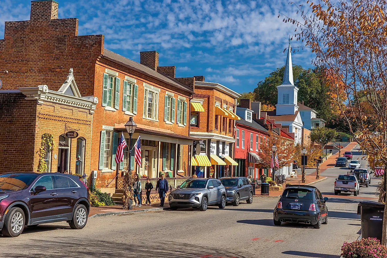
The western end of the Logan Canyon Scenic Byway begins in downtown Logan where US-89 meets US-91. Logan was founded in 1859, and its Center Street Historic District preserves the Cache County Historic Courthouse, built in 1883 on Main Street, and the Logan Tabernacle, a Mormon meetinghouse finished in 1891. The Ellen Eccles Theatre, an old vaudeville house opened in 1923, stages more than 100 performances a year along with the Utah Festival Opera and Musical Theatre.
Utah State University, established in 1888 as an agricultural college, stands on one of the flat terraces cut into the hillside by Lake Bonneville, the vast freshwater lake that covered much of western Utah until 15,000 years ago. Campus stops to consider include the Nora Eccles Harrison Museum of Art, which shows contemporary work and charges no admission, and the Aggie Creamery, making ice cream since 1922 and still turning out 52,000 gallons a year, all of it produced by students and faculty.
Before skipping town, schedule a stop at the Cache Valley Visitors Bureau on North Main for maps and a guide to the 31 numbered sites you'll see along the byway. If you're planning on taking your time and camping along the route, pull into the Logan Ranger District office at 1500 East Highway 89, at the mouth of the canyon. They have details of current trail and campground conditions.
The First Few Miles

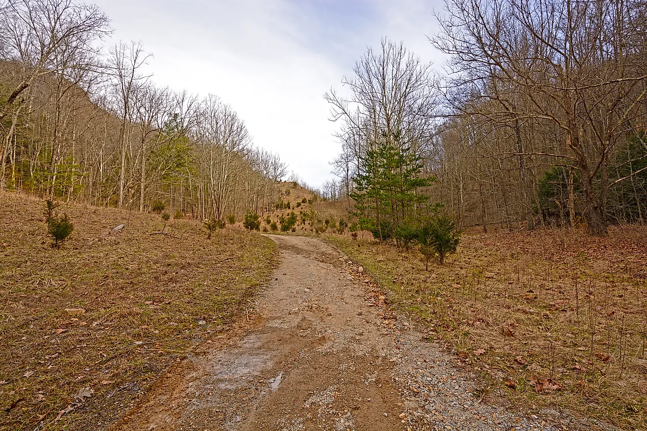
Leaving Logan, the highway enters the canyon, and the walls seem to close in quickly. The first landmarks you'll see on this stretch are two small reservoirs on the Logan River, First Dam and Second Dam, both popular among paddlers and picnickers. Take the time to follow the Riverside Nature Trail past the interpretive signs to Stokes Nature Center, reachable only on foot, which offers guided walks and storytelling programs.
Five and a half miles up, the trailhead across from Guinavah-Malibu Campground starts the climb to the Wind Caves. The trail is steep, but worth it for the delicate limestone triple arch and cavern known locally as the Witch's Castle. Standing 1,000 feet above the highway, it boasts a clear view across to China Wall, the long limestone band running along the opposite side of the canyon. Check out the interpretive kiosks that explain the geology, the bats that use the cave, and the rare plants growing on the slopes.
Farther on, the turnoff at Wood Camp begins an 11-mile round trip to the Jardine Juniper, the world's oldest known Rocky Mountain juniper at more than 1,500 years. The Right Hand Fork road leads toward a monument to Old Ephraim, the famous grizzly bear killed in Logan Canyon in 1923 and remembered as one of the last grizzlies in the area. Back on the byway, Ricks Spring is an easy roadside stop, where clear water emerges from a limestone cavern into a shaded pool.
Tony Grove Lake

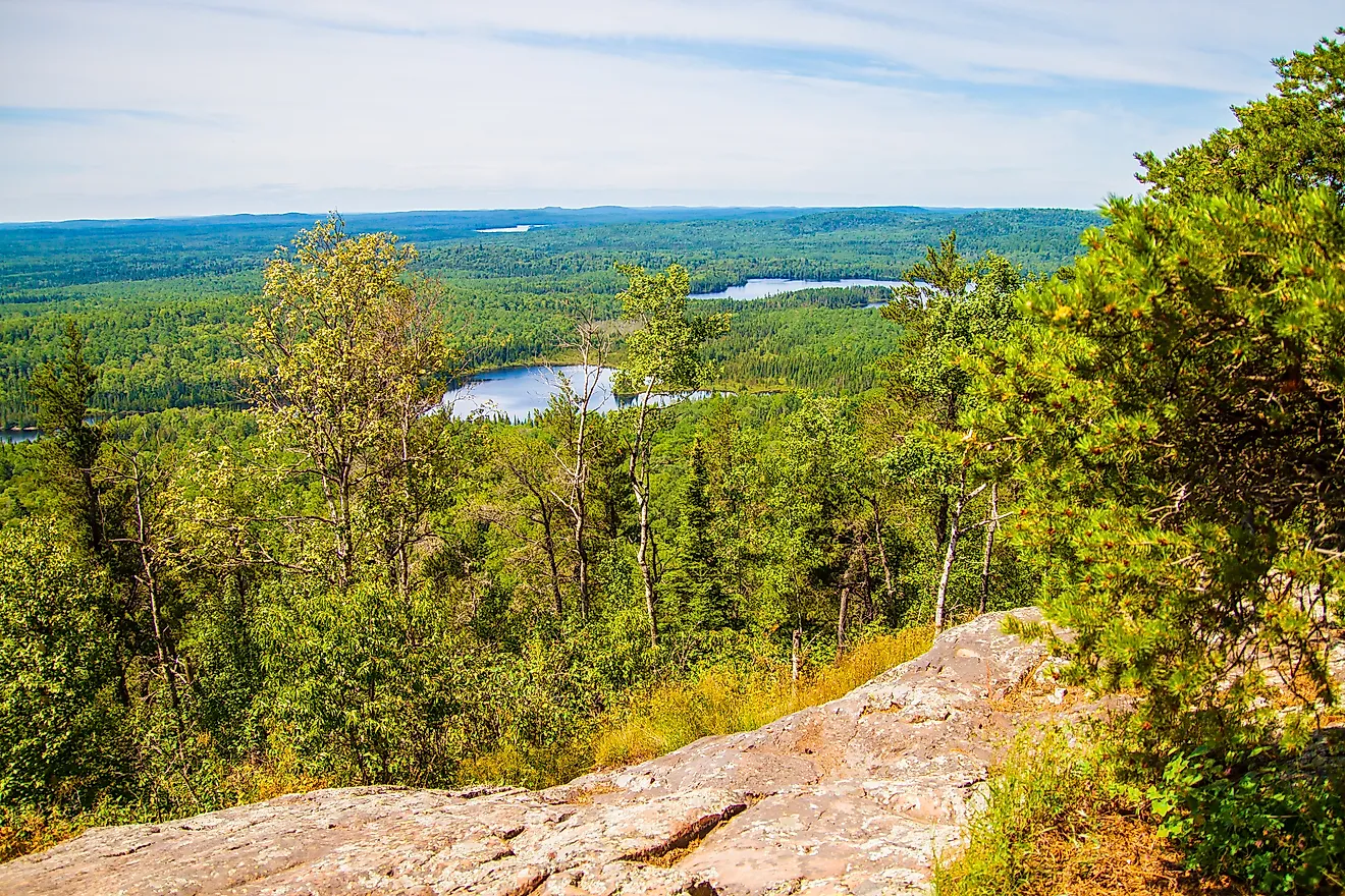
A paved spur climbs about seven miles off the highway to Tony Grove Lake, a high mountain lake at roughly 8,100 feet surrounded by limestone cliffs and stands of aspen. The lake is stocked with rainbow trout, and an easy path circles the shore. In midsummer, the surrounding meadows are also known for their wildflowers. Birders come for species that can be difficult to find at lower elevations, while hikers can use Tony Grove as a starting point for longer routes into the surrounding mountains. There is also a campground overlooking the water.
Tony Grove is an important seasonal exception to this otherwise year-round road trip. The access road typically closes when snow arrives and may remain inaccessible until late spring or early summer. Travelers visiting outside the warmer months should check current road conditions before planning this detour.
Back on US-89, the road reaches the junction for Beaver Mountain. The ski area dates to 1939, when Harold Seeholzer began developing skiing facilities here. His descendants still operate the mountain, which bills itself as the oldest continuously family-owned ski resort in the United States. It has 48 runs spread across 828 skiable acres, making it one of the major winter stops along the byway.
Bear Lake and Garden City

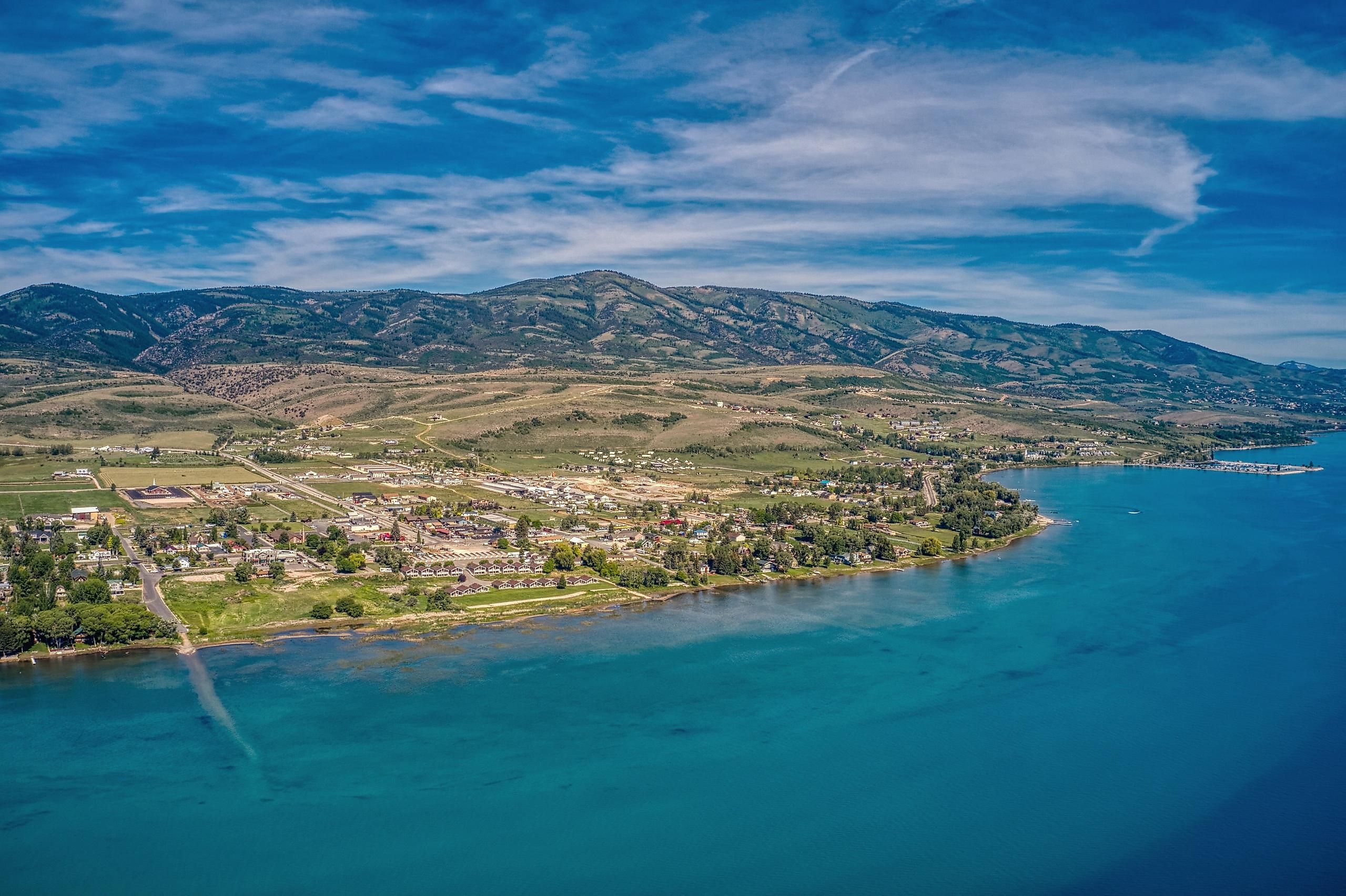
The best views of Bear Lake are to be had from the Bear Lake Overlook just past the summit. The water is a shade of turquoise that looks entirely out of place at 5,924 feet in the mountains. The lake stretches 20 miles long and eight miles wide, reaching 208 feet at its deepest point. It's split down the middle by the Utah and Idaho state line. Its color is the result of the springs feeding the lake seeping through limestone and carrying microscopic particles of calcium carbonate into the water, which reflect blue light back to the surface, earning the lake its nickname, the "Caribbean of the Rockies."
After ten thousand years of isolation, the lake holds four unique fish species known nowhere else: the Bear Lake sculpin, the Bear Lake whitefish, the Bonneville whitefish, and the Bonneville cisco. The cisco spawn in January over the rocky shallows, and anglers wade in with dip nets during an event known locally as the Cisco Disco.
The lake even has a monster legend to go with its fish. In 1868, the Deseret News published an article about a serpent-like creature seen in the water, building on stories already told by the region's tribes. It's a tale that has been part of local identity ever since and is celebrated by the town every winter with Monster Winterfest.
The byway ends in Garden City, so head to LaBeau's Drive Inn for one of their raspberry shakes. Just look for the 10-foot-tall rotating shake sign (you can't miss it). Raspberries are a thing here, and the harvest is marked by the three-day festival known as Raspberry Days. Held in Heritage Park each August since 1984, it kicks off with an evening parade and finishes with a lighted boat parade and fireworks.
Know Before You Go
Before tackling Logan Canyon Scenic Byway, you'll want to do a little advance planning. There's no fuel, no food, and no lodging between the two ends of the byway, so fill up in Logan or Garden City and pack plenty of water for the trailheads. Cell coverage is patchy at best through the middle of the canyon, and poor at Beaver Mountain, so download maps in advance. While the byway stays open year-round, storms can still shut it, as can the occasional avalanche. And the route's popularity means it does get busy, with trailhead parking filling early on summer weekends and in the fall. Lodging in Garden City books out months ahead for July and August, as do the campgrounds in Bear Lake State Park. Take the time to plan properly, and you'll certainly find this Utah Scenic Byway a memorable road trip.