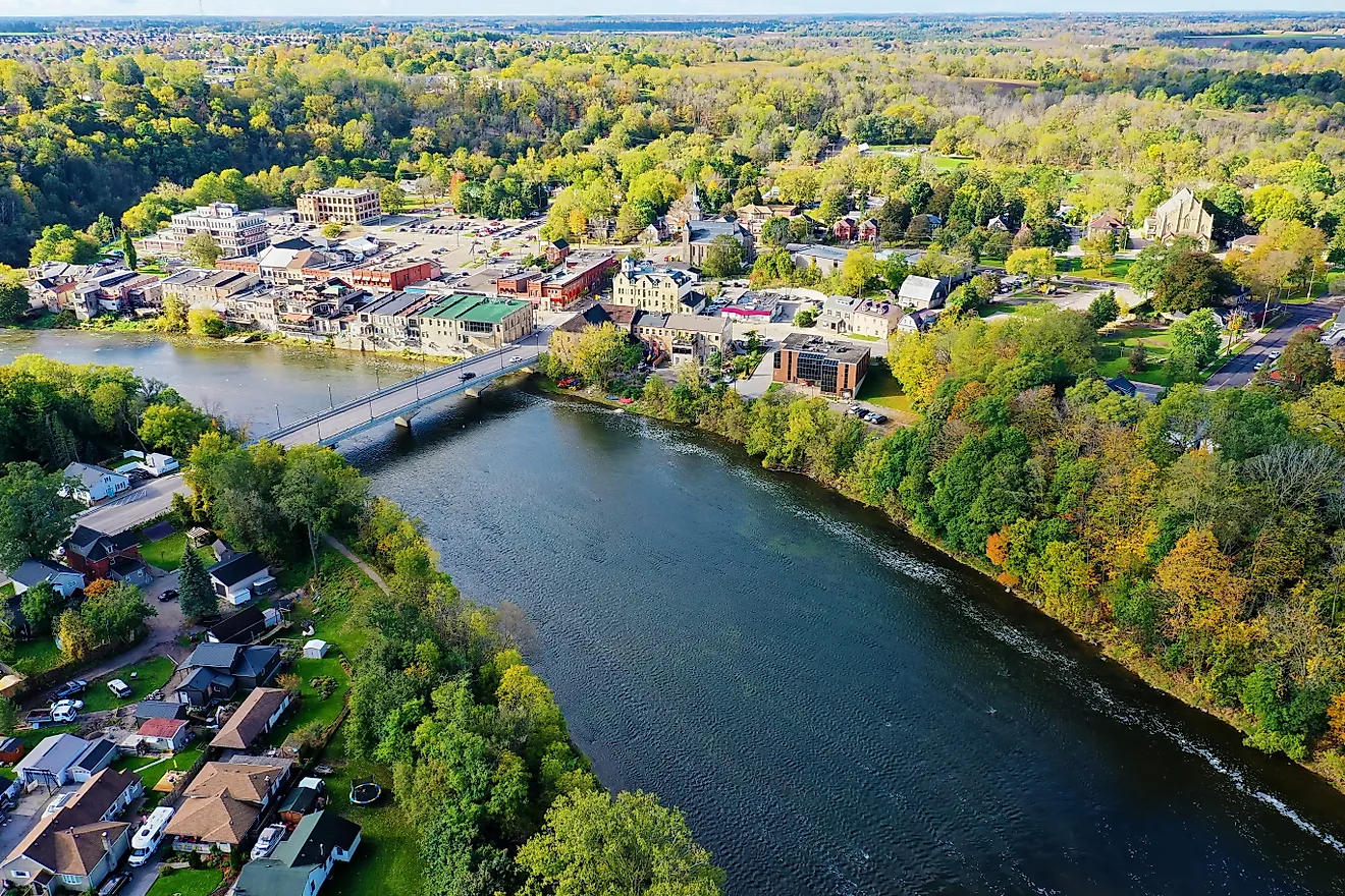
Longest Interstate Highways in the United States
Interstate 90 runs 3,020 miles from Boston to Seattle, which means a driver can merge onto one road in clam chowder country and exit, thirteen states later, within sight of Puget Sound. The Interstate Highway System that makes this possible was authorized on June 29, 1956, when the Federal-Aid Highway Act launched the largest public works project in American history, and the numbering scheme it created remains a secret handshake for road nerds. Odd numbers run north-south, even numbers run east-west, and the three-digit routes are the children of the system: an even first digit means a loop that politely returns to its parent, while an odd first digit means a spur that leaves home for good. The five giants below account for more pavement than most countries own, and the table at the bottom ranks the twenty longest. Pack snacks.
Interstate 90: Boston To Seattle

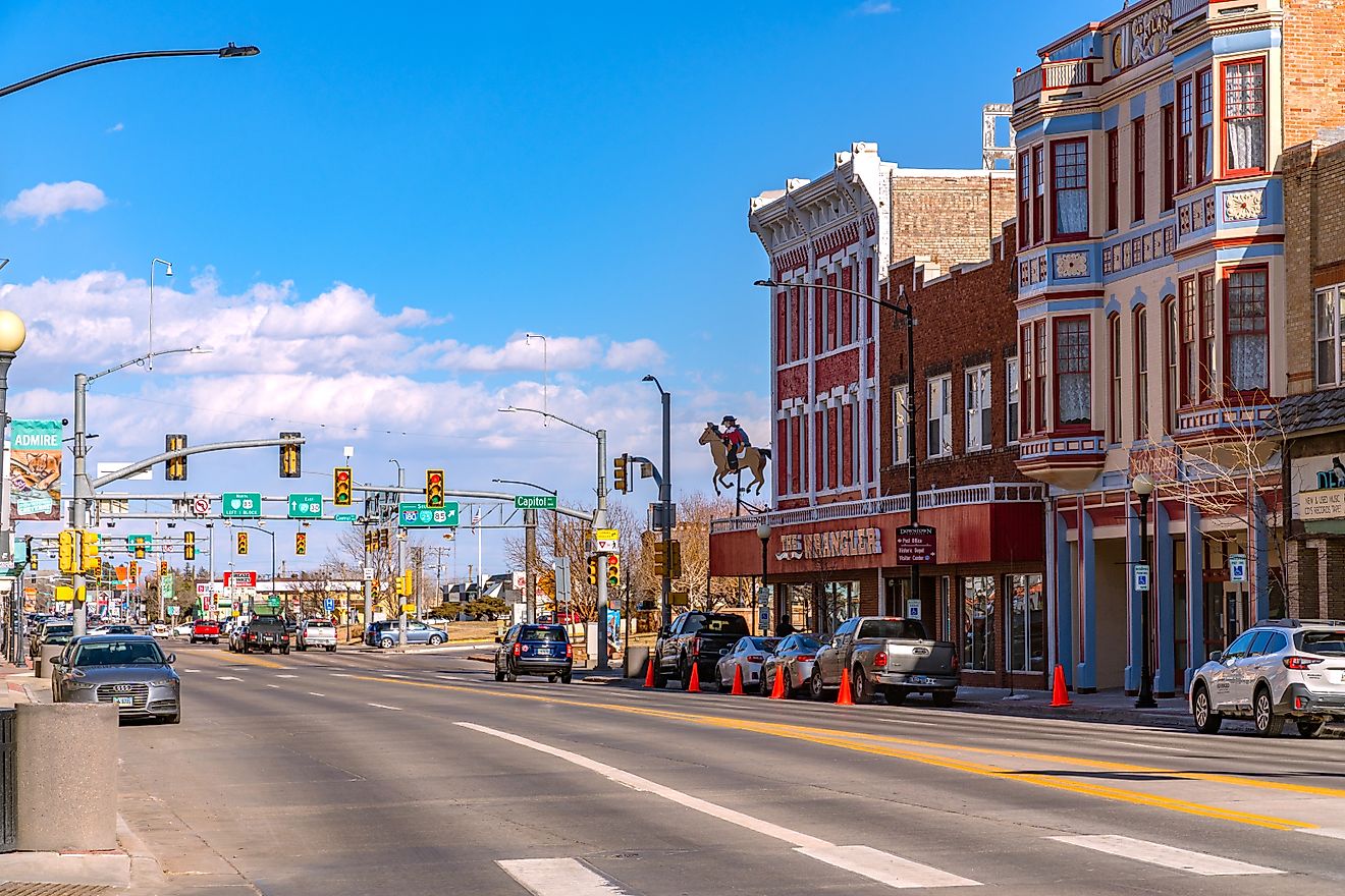
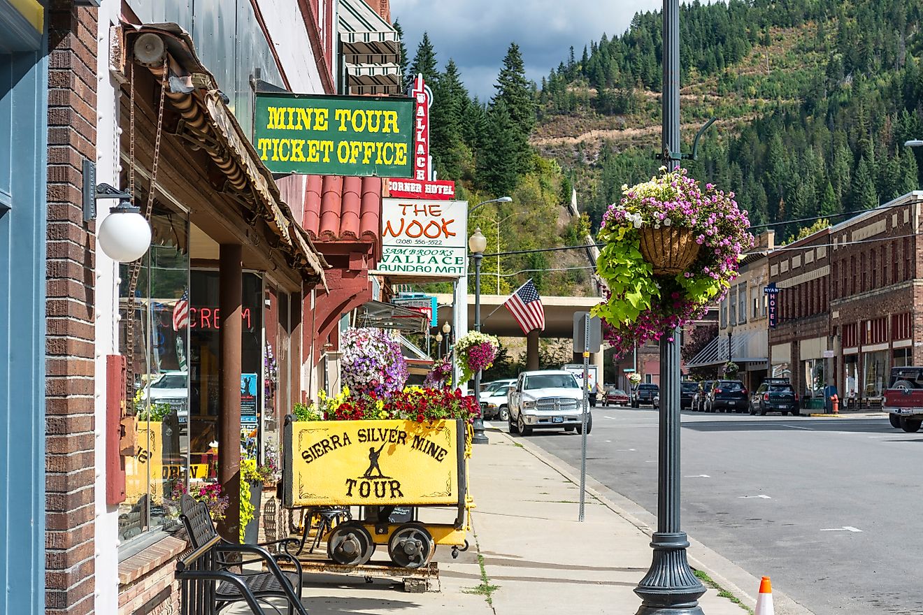
At 3,020 miles, I-90 is the undisputed heavyweight, crossing thirteen states and collecting tolls in a remarkable number of them, since it absorbed older turnpikes like the New York State Thruway and the Massachusetts Turnpike rather than replacing them. The route climbs Snoqualmie Pass in Washington, skims past Mount Rushmore's exit ramps in South Dakota, and required some of the most expensive pavement in history at its eastern end, where Boston's Big Dig buried it under the city. The system's most beloved milestone happened here too: the last traffic light on the entire coast-to-coast interstate network stood on I-90 in Wallace, Idaho, until 1991, and when the bypass finally opened, the town threw the signal a full funeral, casket included. The light now rests in a local museum, mourned by no one who was ever stuck behind it.
Interstate 80: San Francisco To Teaneck

I-80 covers 2,900 miles from the San Francisco Bay to Teaneck, New Jersey, ending its transcontinental journey with all the glamour of a suburban exit ramp a few miles short of Manhattan. The route shadows the historic Lincoln Highway and the old emigrant trails for much of its length, which means modern drivers cross Nevada's Great Basin at 80 miles per hour along a corridor that once took wagon trains an entire season. Crossing eleven states, it serves as the main street of American long-haul trucking, and its final section opened near Salt Lake City in 1986. Across the Bonneville Salt Flats, the road runs so flat and straight that the curvature of the Earth becomes the most interesting thing in the windshield.
Interstate 40: Barstow To Wilmington

I-40 stretches 2,556 miles from Barstow, California to Wilmington, North Carolina, and west of Oklahoma City it functions as the ghost of Route 66, having replaced most of the legendary highway that was finally decommissioned in 1985. The kicks now come with cruise control. The route hits Albuquerque, Amarillo, Oklahoma City, Memphis, and Nashville across eight states, with Tennessee hosting the longest stretch at about 455 miles. Its completion carries a detail almost too tidy to believe: the final North Carolina segment was dedicated on June 29, 1990, exactly thirty-four years to the day after the 1956 act that created the system. Government rarely sticks a landing that cleanly, even by accident.
Interstate 10: Santa Monica To Jacksonville

I-10 runs 2,460 miles from the Santa Monica Pier to Jacksonville, Florida, holding down the southern edge of the system through eight states. Texas alone claims roughly 880 of those miles, which means a driver can cross the El Paso city limit, drive a full work shift with stops, and still be in Texas, an experience that has humbled generations of road trippers who assumed states have reasonable widths. The route connects Phoenix, Tucson, El Paso, San Antonio, Houston, and New Orleans, making it the main artery of the Sun Belt, and its final segment came together in 1990. Summer travelers should note that I-10 doubles as America's longest sauna, with the air conditioning doing heroic, unthanked work from Palm Springs to the Florida line.
Interstate 95: Miami To The Canadian Border

I-95 measures 1,924 miles from Miami to Houlton, Maine, ranking only sixth in length while carrying more traffic than any of the giants above it, since it strings together Miami, Washington, Baltimore, Philadelphia, New York, and Boston like beads on a very congested necklace. Its best joke is historical: the highway was not actually finished until September 2018, when a long-missing connection in Pennsylvania finally opened, completing the East Coast's most important road a brisk 62 years after the system began. For decades, drivers following I-95 signs through the gap were quietly rerouted onto other roads, a national-scale magic trick performed daily. America can keep a secret; it just cannot keep a schedule.
The Newcomers
The system keeps growing, with recent additions including I-11 in Nevada and Arizona, I-14 in Texas, and I-87 in North Carolina, all of which opened their first segments in the late 2010s. Each currently measures a tiny fraction of the giants above, like toddlers at a family reunion full of marathoners. Meanwhile I-69, the so-called NAFTA Superhighway, keeps adding segments on its slow march from Michigan toward Mexico, which is why its mileage in any table comes with an asterisk of ambition.
The Longest Interstate Highways In The United States
Mileages below come from Federal Highway Administration route logs, rounded to the nearest mile; minor revisions appear between log editions, and I-69's total continues to climb as construction advances.
| Rank | Interstate | Length (miles) | Endpoints |
|---|---|---|---|
| 1 | I-90 | 3,020 | Seattle, WA - Boston, MA |
| 2 | I-80 | 2,900 | San Francisco, CA - Teaneck, NJ |
| 3 | I-40 | 2,556 | Barstow, CA - Wilmington, NC |
| 4 | I-10 | 2,460 | Santa Monica, CA - Jacksonville, FL |
| 5 | I-70 | 2,153 | Cove Fort, UT - Baltimore, MD |
| 6 | I-95 | 1,924 | Miami, FL - Houlton, ME |
| 7 | I-75 | 1,786 | Miami, FL - Sault Ste. Marie, MI |
| 8 | I-94 | 1,585 | Billings, MT - Port Huron, MI |
| 9 | I-35 | 1,569 | Laredo, TX - Duluth, MN |
| 10 | I-20 | 1,539 | Kent, TX - Florence, SC |
| 11 | I-15 | 1,433 | San Diego, CA - Sweetgrass, MT |
| 12 | I-5 | 1,381 | San Ysidro, CA - Blaine, WA |
| 13 | I-25 | 1,062 | Las Cruces, NM - Buffalo, WY |
| 14 | I-55 | 964 | LaPlace, LA - Chicago, IL |
| 15 | I-64 | 953 | Wentzville, MO - Chesapeake, VA |
| 16 | I-69 | ~890 (growing) | Port Huron, MI - Texas (in segments) |
| 17 | I-65 | 887 | Mobile, AL - Gary, IN |
| 18 | I-81 | 855 | Dandridge, TN - Wellesley Island, NY |
| 19 | I-84 (West) | 770 | Portland, OR - Echo, UT |
| 20 | I-29 | 757 | Kansas City, MO - Pembina, ND |
Twenty Roads, One Tank Of Optimism

The twenty routes above add up to more than 32,000 miles of pavement, enough to lap the planet with mileage to spare, and every one of them was sold to the public in 1956 as a defense project. The defense application most Americans have found for them involves defending the right to drive eleven hours to see a relative who lives near an even-numbered exit. The system works precisely because nobody thinks about it: the odd numbers climb north, the even numbers march east, the rest areas appear when hope runs lowest, and the whole arrangement quietly remains one of the most useful things any government has ever built. Pick a two-digit number and see where it goes; the worst case is Teaneck.