The Coldest Ocean Water In The United States
A thermometer dropped into winter seawater along Alaska's Arctic coast can read below 32°F without finding ice. Salt pushes seawater's freezing point down to about 28.4°F, and the water at several US coastal locations stays only a few degrees above it for months. This ranking compares representative coastal locations using the 12 monthly averages in NOAA's Coastal Water Temperature Guide, averaged into an approximate annual figure. It is a measure of typical year-round coastal water, not record lows or deep-ocean temperatures. The coldest locations cluster around northern and western Alaska, then the order gets less intuitive. Eastport, Maine, slips ahead of southeast Alaska, and northern California stays unusually cold deep into summer because of coastal upwelling.
Beaufort Sea Off Prudhoe Bay, Alaska - About 33.8°F

For much of the year, the Beaufort Sea near Prudhoe Bay sits only a few degrees above the freezing point of saltwater. March averages 30.8°F, April 31.2°F, and May 31.4°F. November is still only 31.6°F. Even August, the warmest month in the local series, averages 43.2°F. Put all 12 monthly figures together and the year comes out near 33.8°F, the lowest figure in this ranking.
That temperature record fits a coast dominated by sea ice. NOAA Fisheries has described the Beaufort near Prudhoe Bay as ice-covered for roughly nine months of the year. Open water appears during the short Arctic summer, and the seasonal warmup is brief. January through May all stay in the low 30s, followed by a rapid rise into the 40s before autumn cooling pulls the water back toward freezing.
Chukchi Sea Near Red Dog Dock, Alaska - About 35.6°F

Red Dog Dock produces the coldest winter numbers in the article. January averages 28.9°F, February and March both sit at 28.8°F, and April reaches only 29.0°F. Those readings are possible because seawater does not freeze at the same temperature as freshwater. NOAA places the freezing point of typical seawater near 28.4°F. The remarkable part comes later in the year. July rises to 49.6°F, then August reaches 52.4°F. That spread of more than 23 degrees gives this Chukchi Sea location one of the strongest seasonal swings here. The full-year average lands near 35.6°F. Months of sea ice and near-freezing water give way to a short open-water season under long Arctic daylight, then temperatures drop quickly again as autumn closes in.
Bering Sea Off St. Paul Island, Alaska - About 38.5°F

St. Paul Island sits hundreds of miles into the Bering Sea, and spring arrives slowly in the surrounding water. May averages only 36.5°F. January comes in at 32.6°F, and March falls to 31.7°F.
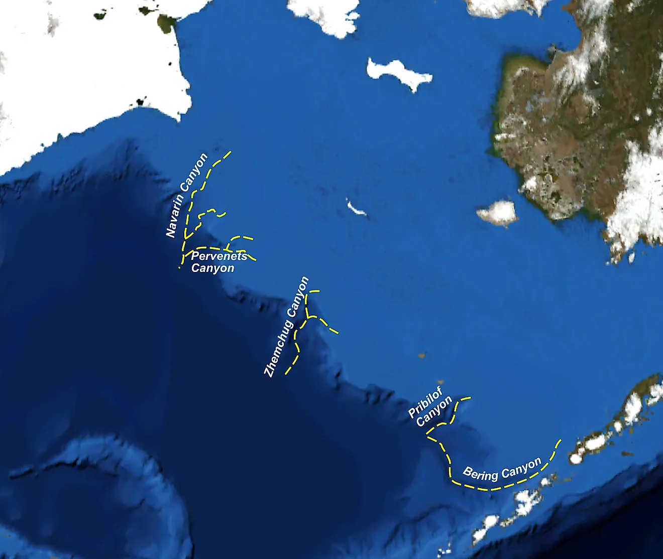
The Pribilof Islands lie within a sea that develops extensive seasonal ice across its eastern shelf. NOAA's Pacific Marine Environmental Laboratory has documented the role of cold northerly winds and winter sea ice in shaping Bering Sea conditions. Water around St. Paul does not average 40°F until June.
The warmest month is September at 47.5°F. That late peak matters because the sea takes months to shed the cold stored through winter and spring. Across the entire year, St. Paul's monthly values average about 38.5°F.
Waters Off Adak Island, Alaska - About 42.2°F
Adak never gets a 50°F month in NOAA's coastal temperature series. February averages 38.8°F, September reaches 46.4°F, and October still sits at 45.7°F. The difference between the coldest and warmest monthly averages is less than eight degrees, far tighter than the seasonal range farther north. The Aleutian setting is central to that stability. Adak lies in the island chain separating the North Pacific from the Bering Sea, where water moves through numerous passes between the two basins. NOAA's EcoFOCI program tracks exchanges of heat, salt, nutrients, and water through those openings. The ocean around Adak stays cool through every season, with winter mainly in the upper 30s and low 40s and summer holding in the mid-40s. The approximate annual average is 42.2°F.
Waters Off Kodiak Island, Alaska - About 43.5°F

Kodiak has a real summer pulse. February averages 36.7°F, May reaches 43.9°F, and August climbs to 52.9°F. September remains above 50°F before October drops to 46.4°F.
The archipelago sits beside the Alaska Coastal Current, which moves southwestward through the Gulf of Alaska. NOAA's Pacific Marine Environmental Laboratory has linked that current to freshwater runoff, winds, and the circulation of the coastal shelf. Tides also move large volumes of water through the channels around Kodiak and into Shelikof Strait.
Those forces give Kodiak a seasonal range of more than 16 degrees between February and August. Averaging the monthly coastal figures produces about 43.5°F for the year.
Waters Off Eastport, Maine - About 45.8°F

Eastport's water can still be in the upper 30s well into March. That month averages 37.0°F, May reaches only 42.2°F, and June is still below 48°F. The warmest reading in the monthly series arrives in September at 54.5°F.
The town sits beside Passamaquoddy Bay, where enormous tides keep water moving through narrow passages and around islands. NOAA lists a mean tidal range of more than 18 feet at Eastport. Gulf of Maine research also documents deep winter mixing and strong seasonal cooling. Those processes leave a long cold tail into spring, even after air temperatures start recovering. The 12 monthly water averages work out to roughly 45.8°F, putting Eastport just ahead of Port Alexander in southeast Alaska on this measure.
Waters Off Port Alexander, Alaska - About 46.3°F

Port Alexander occupies the southern tip of Baranof Island, far from the ice-dominated Arctic coast. February averages 41.7°F here, and summer tops out at 51.3°F in both July and August. October is back to 47.8°F. Less than ten degrees separate the coldest and warmest monthly readings. Southeast Alaska's waterways are cut by straits, passages, and inlets, and NOAA research has measured strong tidal currents and estuarine exchange throughout the region. Surface water moves outward through parts of the coastal system as deeper water enters below. The annual average at Port Alexander comes to about 46.3°F. Its winter readings stay comfortably above the near-freezing values recorded around the Beaufort, Chukchi, and northern Bering seas.
Pacific Waters Off La Push, Washington - About 49.5°F

September is the warmest month off La Push, and it averages only 54.3°F. Winter sits around 45°F. June reaches 51.4°F, so the ocean remains cold even after summer weather has arrived on Washington's Olympic coast.
Spring and summer winds help keep it that way. Along the northern California Current, northerly winds push surface water away from shore. Colder water rises from below to replace it, a process NOAA Fisheries identifies as one of the dominant physical forces along the Washington and Oregon coast. The effect shows up clearly in the temperature record. Warm-season water stays mostly in the low 50s instead of climbing sharply through July and August. Across the 12 monthly values, La Push averages about 49.5°F.
Pacific Waters Off Crescent City, California - About 51.8°F

Crescent City has one of the flattest temperature curves in the ranking. At NOAA's St. Georges station offshore, May averages 50.2°F and August reaches 54.0°F. Most of the year stays packed into a range of only a few degrees.
Northern California sits along a coast where upwelling can occur through much of the year. NOAA Fisheries describes winds carrying surface water offshore and colder water rising from roughly 100 to 125 meters below. That deeper source water can be around 46°F. It repeatedly feeds the upper ocean with cold, nutrient-rich water.
The result in the monthly record is easy to see without much interpretation. Summer barely lifts above winter, and the annual average comes to about 51.8°F.
Pacific Waters Off Port Orford, Oregon - About 52.6°F

Port Orford's offshore water changes remarkably little from January to September. January averages 51.2°F, March 50.5°F, June 53.9°F, and September 54.9°F. The yearly average from the monthly figures is about 52.6°F.
Southern Oregon lies within the northern California Current, where spring and summer winds regularly trigger coastal upwelling. Surface water moves offshore and colder water comes upward along the coast. NOAA Fisheries identifies that process as a major feature of the region's warm-season oceanography.
Its influence is visible through the narrow spread of temperatures. The coldest monthly average is just above 50°F, and the warmest remains below 55°F. Even at the end of summer, the water off Port Orford has gained only a few degrees over its late-winter level.