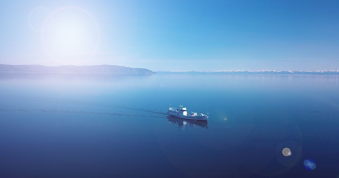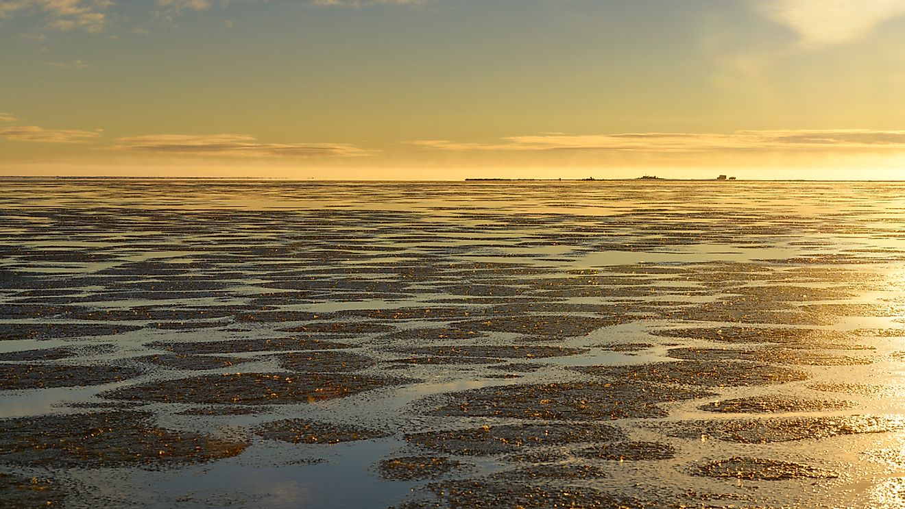
Beaufort Sea
The Arctic Ocean is the world’s smallest, coldest, and shallowest ocean, occupying an area of about 14,060,000 km2. The Arctic Ocean also features many marginal seas. Covering an area of 476,000 km2, the Beaufort Sea is such a marginal sea of the Arctic Ocean. The sea has been named in honor of the British Royal Navy admiral and hydrographer, Sir Francis Beaufort.
Where Is The Beaufort Sea?

The Beaufort Sea is located in the northern part of the Canadian Territories of Yukon and Northwest Territories, and the US state of Alaska. It is geographically positioned in the western part of the Arctic Islands of Canada. The sea extends from Alaska’s Point Barrow to the southwestern tip of Lands End on Prince Patrick Island. It then extends along the western part of Banks Island to the coastal regions of Canada’s Northwest and Yukon Territories.
Geography

The sea has a maximum depth of 4,683 m, while its estimated average depth is 124 m. The Beaufort Sea remains covered with ice during most of the year, except during August and September when the ice opens briefly near the coastal areas. Four separate layers of water can be observed in the Beaufort Sea. The top surface water has a thickness of about 100 m and faces a temperature of -1.4 °C in the late summer and about -1.8 °C during the winter months. The next layer below the surface water is formed by the waters from the Pacific Ocean and the Bering Sea, which are brought into the Beaufort Sea by the Bering Strait. The relatively warmer deep Atlantic waters form the third layer of the sea and face a temperature ranging from 0 to 1 °C. The colder bottommost water layer has a temperature ranging from -0.4 to -0.8°C.
The shores of the Beaufort Sea face the westerly and the southwesterly sea currents that are mostly caused by the clockwise Beaufort gyre which flows in the northern parts of the Beaufort Sea. The longest river of Canada, the Mackenzie River, drains into the Canadian portion of the Beaufort Sea, in the western part of the Tuktoyaktuk settlement. Some of the other notable rivers that also flow into the Beaufort Sea include Alaska’s Kongakut and Yukon’s Fifth rivers. An estimated 15 million tons of sediments that are rich in calcium carbonate and dolomite are annually discharged by the Mackenzie River into the Beaufort Sea.
Several small islands are found in the Beaufort Sea and also in the Mackenzie River Delta. Larger islands such as Barter Island and Herschel Island are located on the western side of the Mackenzie River. The two artificial islands of Endicott and Northstar have been created in the Beaufort Sea to facilitate the effective drilling of petroleum and natural gas.
Wildlife

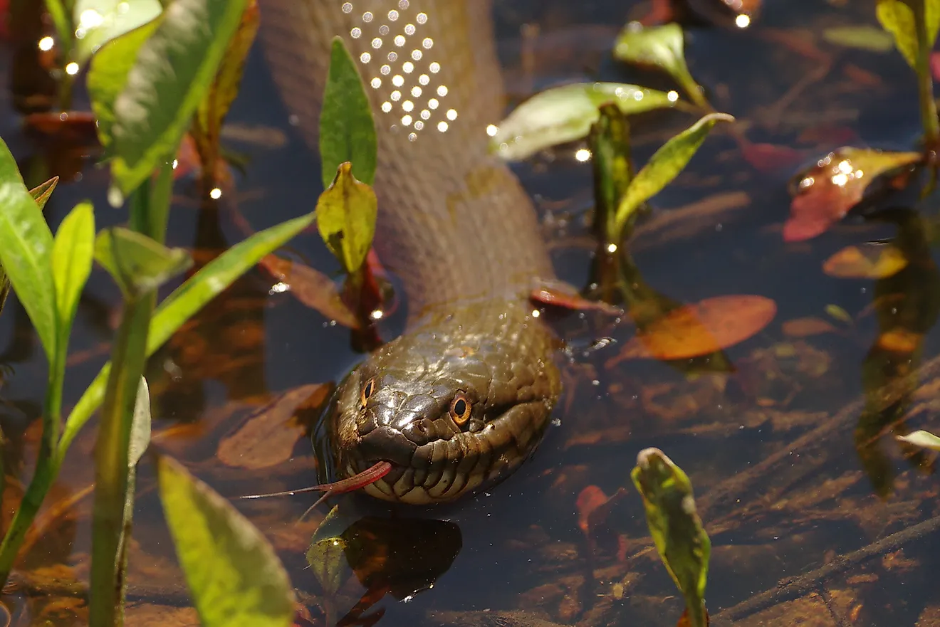
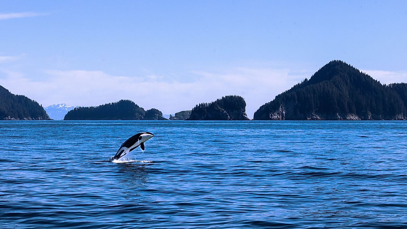
The floral and faunal wealth of the Beaufort Sea is quite diverse. More than 70 species of phytoplankton and 80 species of zooplankton inhabit the sea waters. The benthic fauna of the sea comprises more than 700 species of bryozoans, crustaceans, polychaetes, and mollusks. Some of the important fish that are found here include Arctic cod, Arctic char, Arctic cisco, polar char, Pacific herring, lake whitefish, saffron cod, fourhorn sculpin, and inconnu. The eastern portion of the sea is inhabited by a huge colony of beluga whales. The whales migrate to the ice-free coastal regions and the Mackenzie River Delta during the summer months. The river delta also supports a variety of seabirds, whales, and muskrat. Polar bears, bearded seals, and ringed seals are also found in the Beaufort Sea.
Economy

Significant reserves of petroleum and natural gas have been discovered in the Beaufort Sea region. The Taglu Gas Field is a major gas field that was discovered in 1971 in the Mackenzie River Delta. In 1984, the sea’s largest oil reserve, the Amauligak Field, was discovered. The 1,300 km-long Trans-Alaska Pipeline was constructed in 1977 to transport the crude oil from Prudhoe Bay to the ice-free Valdez port in the southern part of Alaska. The major human settlements along the Beaufort Sea include Alaska’s Prudhoe Bay and Canada’s Tuktoyaktuk.