The Wettest National Park In The United States
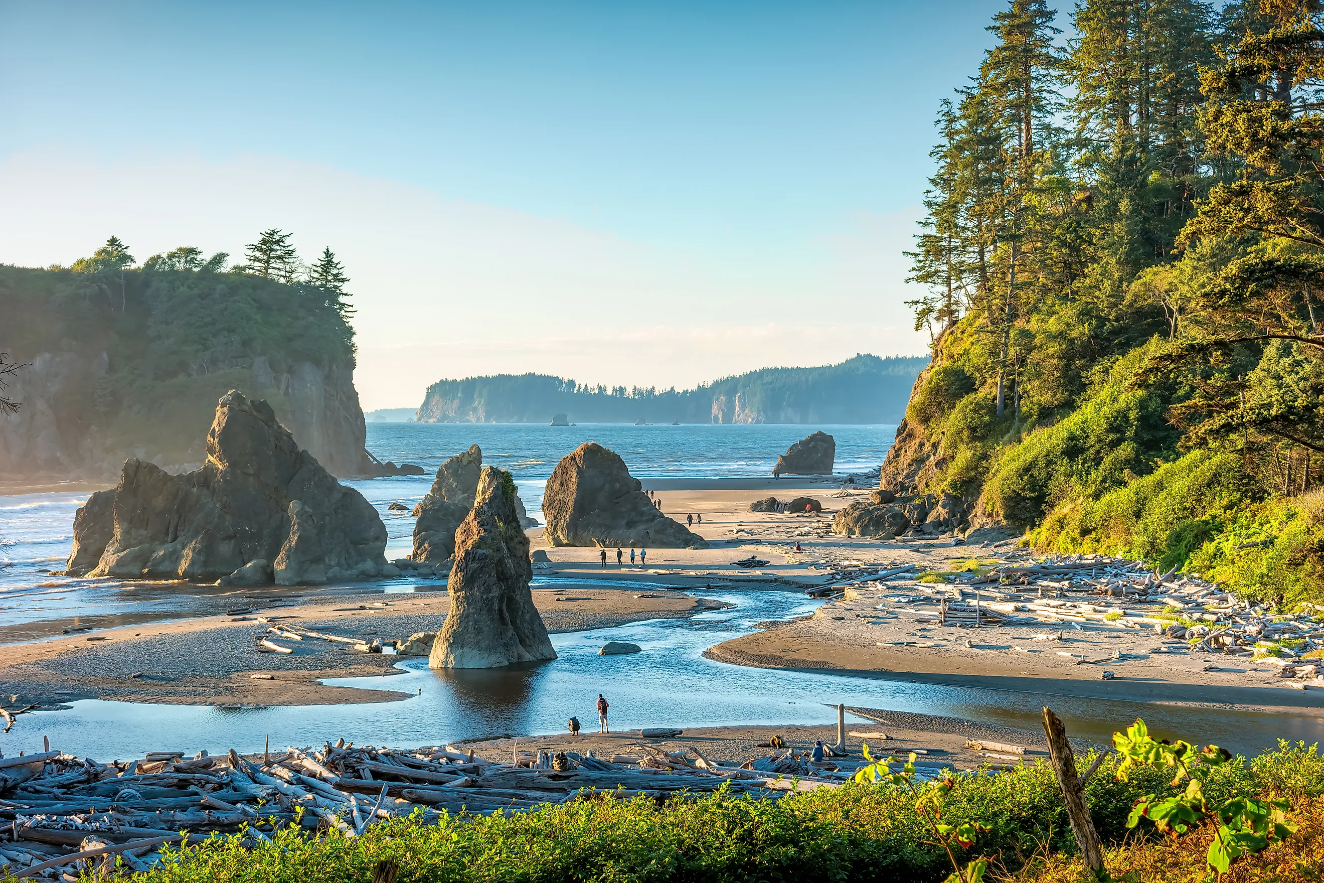
How to determine which US National Park is the wettest, or has the greatest amount of precipitation, depends on a few factors. There are two possible answers, Haleakalā National Park in Hawaii and Olympic National Park in Washington, depending on whether you use annual rainfall or overall rainfall per square mile. In other words, one park may receive the most rain annually, but in a small area, while the other has an average annual rainfall that extends to the whole park. In this case, there is a clear title holder for the wettest national park in the United States, Olympic National Park. Simply put, Haleakalā National Park receives an average of 187 inches of rain annually, but most of it falls in the Kipahulu District, while the rest of Haleakalā consists of dry volcanic craters and alpine deserts. Olympic National Park averages 100 to 170 inches across its valleys and coastlines, while rising to over 200 inches at the high elevations of the mountains.
Rainforests In The United States

The states with rainforests tend to have higher rates of precipitation, but with a caveat. With geographical features such as mountain ranges, the consistent moisture needed to sustain a rainforest may be limited to one zone, with the rest of the state having average rates of precipitation. A temperate rainforest (cool and wet) requires at least 55 inches (140 cm) of rain per year, while tropical, warm, and humid rainforests need over 100 inches (254 cm) per year. The average annual precipitation for the contiguous United States is around 30 inches (76 cm). With localized weather conditions, a rainforest does not mean the entire state, or even a national park, is incredibly wet. Hawaii, unsurprisingly, has some of the wettest rainforests in the United States, if not the world. However, just on the other side of some mountains bordering rainforests are dry volcanic deserts. Likewise, the temperate rainforests found in Alaska, in the Tongass National Forest, nevertheless are dwarfed by massive interior and northern Arctic tundra. With less than 10 inches of precipitation per year, this qualifies those areas as deserts.
States With Rainforests

Washington's Olympic National Park has four individual, but contiguous, rainforests, representing around 22% of the park's territory, approximately 200,000 acres. Olympic's rainforests are found in the Hoh, Quinault, Queets, and Bogachiel valleys. Each forest follows a different river valley flowing down from the mountains toward the Pacific Ocean. As they face west, they trap moisture from incoming coastal storms. This creates distinct old-growth corridors. Alaska's Tongass National Forest spans 16.7 million acres, making it the largest temperate rainforest on Earth. In Oregon and Northern California, the coastal region reaching down to the Redwood National and State Parks maintains rainforest conditions, with heavy winter rains and dense summer ocean fog. The high-elevation zones of North Carolina, Tennessee, and Georgia receive over 80 inches of rain per year. This southern section of the Appalachian Mountains, found in the Great Smoky Mountains National Park and Nantahala National Forest, qualifies as rainforest.
The only state with tropical rainforests, those that are warm and humid, is Hawaii. A tropical rainforest experiences high temperatures year-round. The rainfall totals support dense canopies of broadleaf evergreen trees. Hawaii's rainforests cover the windward slopes of almost all major Hawaiian islands, including Kipahulu Valley in Haleakalā National Park on Maui. If US territories are included, Puerto Rico's El Yunque National Forest, located just outside the capital, San Juan, is known for its biodiversity, waterfalls, and the native Coquí frogs. The National Park of American Samoa, in the South Pacific US territory, contains isolated, paleotropical rainforests, home to the unique Samoan flying fox, a giant fruit bat.
Why Olympic National Park Is The Wettest

Olympic National Park receives the highest average rate of annual precipitation out of all the US national parks, including those with rainforests. The park, with its rainforests and western slopes on mountains such as Mount Olympus, averages up to 170 inches per year. However, this can go up to 200 inches in localized areas in both rain and snow per year. Hawaii's Kipahulu District averages 187 inches of rain each year, but this is localized, and the overall rainfall for the Haleakalā National Park is lower due to the volcanic desert conditions elsewhere in the park. Measured by the average volume of rain over the entire park, Olympic National Park's position in the moisture-rich Pacific storm systems makes it the wettest of all national parks. Olympic's unique climate highlights this distinction between localized high-rain spots and overall rain averages. The highest summits within the park, such as Mount Olympus, capture over 200 inches of precipitation each year. Olympic National Park is, in short, the perfect place for high rates of precipitation, with the combination of warm ocean currents, prevailing wind patterns, and massive coastal mountains. This creates a phenomenon known as orographic precipitation, or the rain shadow effect.
The park sits in the path of the North Pacific storm track. This is when warm and heavily moist air masses continuously blow across the ocean eastward toward the North American continent. When these wet ocean winds hit land, they are forced upward by the Olympic Mountains. These mountains are incredibly close to the ocean shoreline, just 25 to 30 miles (40 to 48 km) inland, rising abruptly from sea level to around 8,000 feet (2,438 meters) at the highest peak on Mount Olympus. At the northern edge of the park, the mountains rise from even closer to the ocean, directly out of the saltwater of the Strait of Juan de Fuca. This narrow gap is a major reason why the weather in the area is extreme, and why the park receives so much precipitation. As the moist air rises against the slopes, it expands and cools. The cold air produced cannot hold the moisture as warm air can, and the water is forced out of the clouds. This is the orographic lift in action, and it results in the heavy rainfall found in the western valleys, as well as the heavy snowfall at the mountain peaks. The mountains trap most of the water on the western side, which is where all four park rainforests sit. This causes the air to be dry by the time it passes over the summits. The eastern side of the mountains and towns such as Sequim end up being very dry, with only 16 inches of rain per year.
Extreme Weather Variations
The extremes of the weather found in and around Olympic National Park are exemplified by the closeness of the wettest and driest parts of the park. The Hoh Rain Forest averages almost 12 feet (3.6 m) of precipitation annually, while the National Park Service (NPS) describes Olympic's rain forests at a rate of up to 167 inches per year. Yet, Sequim, Washington, averages only about 16 inches of rain per year. The Hoh Rain Forest is less than 35 miles from Sequim. The effects of orographic precipitation create these extreme contrasts. The amount of rain that is produced due to the park's unique setting on the western edge of the continent, in the path of wet Pacific winds, creates the conditions for Olympic National Park to be the wettest, not just in the contiguous United States, but among all 50 states.