Why Mono Lake Almost Disappeared
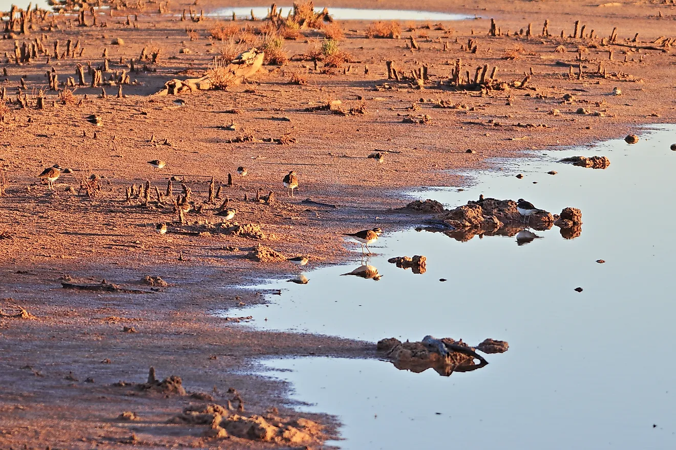
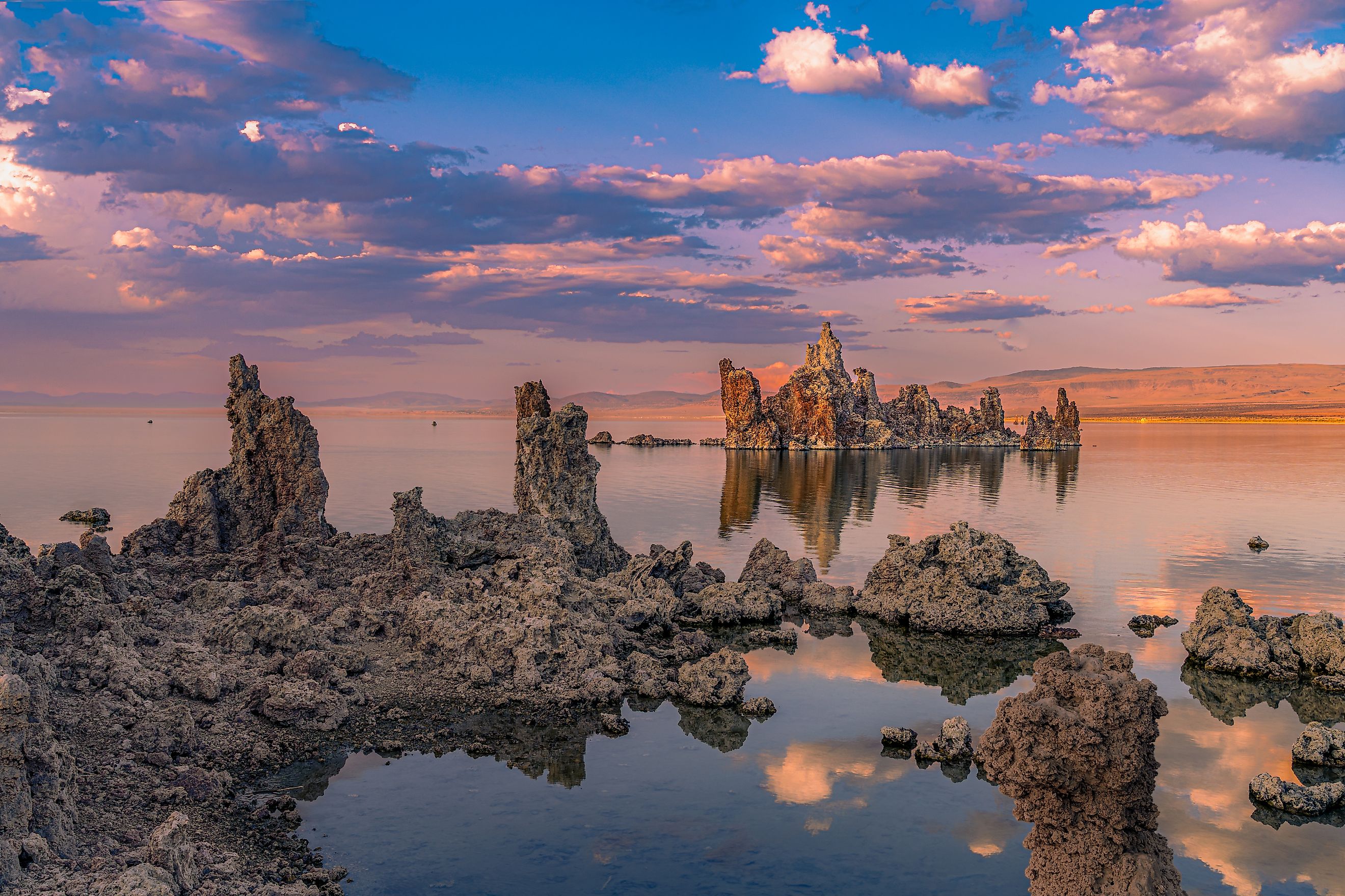
Mono Lake's shoreline has moved a long way. In 1941, when Los Angeles began exporting water from the basin, the lake stood at roughly 6,417 feet above sea level. By January 1982, it had fallen to about 6,372 feet. California State Water Resources Control Board records show the surface area shrinking from around 55,000 acres to roughly 36,500 acres, while the lake lost about half its volume. The biggest reason was straightforward: water that had once flowed into Mono Lake was being sent elsewhere. Its closed basin, reliance on Sierra Nevada runoff, drought, and rising evaporation made the losses harder to replace.
Los Angeles Diverted The Streams That Fed Mono Lake

Rush Creek, Lee Vining Creek, Parker Creek, and Walker Creek once carried Sierra Nevada runoff directly toward Mono Lake. Los Angeles began diverting water from those streams in 1941 through the Mono Basin extension of the Los Angeles Aqueduct. State Water Board records put average exports at about 56,000 acre-feet per year between 1941 and 1970. Over that period, Mono Lake fell more than 29 feet.
By 1982, the difference around the shoreline was enormous. The lake had dropped about 45 feet from its 1941 elevation, and its surface area had contracted by roughly a third. A 2023 study in Earth and Space Science estimated that Mono Lake had lost about 45% of its volume by 1982. Salinity roughly doubled as the amount of water in the basin shrank. The freshwater had not simply vanished into a dry climate. Much of it had been captured upstream and carried south through the Los Angeles Aqueduct.
A Second Aqueduct Increased Water Exports

Water exports jumped after Los Angeles completed a second aqueduct in 1970. California records show an average of about 82,000 acre-feet leaving the Mono Basin each year between 1970 and 1989, compared with roughly 56,000 acre-feet during the earlier period. The 1979 total reached 140,756 acre-feet. Mono Lake dropped another 12.6 feet during the post-1970 years. State documents also describe periods when the four major tributaries were almost completely diverted, leaving sections of creek channel dry. The scale of the withdrawals was large enough to appear in a 1983 California Supreme Court opinion, which cited average exports of nearly 100,000 acre-feet per year from 1970 through 1980. By October 1979, the court recorded Mono Lake at only about 60 square miles.
Mono Lake Has No Outlet To The Ocean

Mono Lake is a terminal lake. Streams run into it, but no river carries water out to the sea. The U.S. Geological Survey identifies Sierra Nevada snowmelt as one of its main water sources, while evaporation is the principal way water leaves the basin. That geography is part of what makes Mono Lake unusual, and it is also why cutting the incoming streamflow lowered the lake so sharply.
Evaporation did not stop when Los Angeles began taking water upstream. California has used an estimate of roughly 45 inches of evaporation per year in its Mono Lake analyses, so the lake continued losing water from its surface even as less arrived through the creeks.
Earlier State Water Board modeling projected that unrestricted diversions could eventually have pulled Mono Lake down to around 6,355 feet above sea level under long-term conditions. That is about 17 feet below the 1982 historic low. Some drought scenarios produced figures near 6,336 to 6,337 feet. No pumps had to sit in Mono Lake itself. Cutting the incoming supply was enough.
Drought And Weak Snowpack Reduced Freshwater Inflow
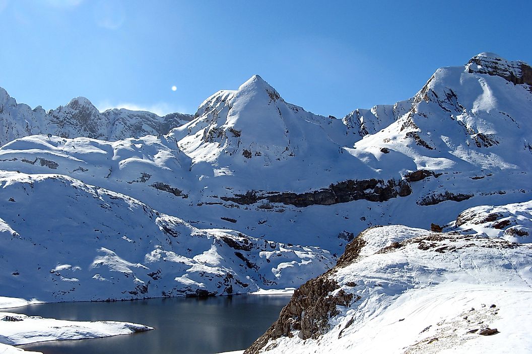
Mono Lake sits in the rain shadow east of the Sierra Nevada, so the lake itself receives relatively little precipitation. Much of its freshwater arrives instead as runoff from the mountains. Hydrology research has estimated that about 82% of annual inflow comes from runoff, much of it tied to Sierra Nevada snowmelt. A poor snow year therefore means less water moving down the creeks toward the basin. The effect becomes easy to see during long dry spells. California's 2012-2016 drought pushed Mono Lake down almost seven feet, with the lake reaching about 6,376.8 feet in October 2016. The opposite happened after the exceptionally snowy winter of 2022-2023, when heavy runoff raised the lake again. Those swings are a reminder that Mono Lake is tied closely to what happens high in the Sierra, where meltwater from a deep snowpack can move downhill in a large pulse months after the storms have passed.
A Warmer Climate Is Increasing Evaporation

The original collapse began decades before modern climate change became a major influence on the basin, so water diversion remains the main explanation for the twentieth-century drop. More recent modeling shows that warming is now affecting the lake as well. In 2026, the UCLA Center for Climate Science completed a water-budget analysis for the California State Water Resources Control Board using an ensemble of 11 climate models.
Across those simulations, anthropogenic climate change lowered Mono Lake by an estimated 2.6 feet between 1994 and 2021 compared with runs based on an earlier climate baseline. The researchers identified increased evaporation as the main source of that difference, although the size of the effect varied among individual models. Continued surface-water exports produced about four additional feet of modeled lake-level loss over the same period.
Future projections generally showed evaporation rising further. Some scenarios produced enough extra evaporative loss to cancel out gains from higher precipitation. For a lake with no outlet and a water supply already sensitive to snowpack, a few additional feet matter.
Mono Lake Has Only Partly Recovered
Public pressure and litigation changed the basin's course. In 1983, the California Supreme Court ruled in National Audubon Society v. Superior Court that the state must weigh public trust resources when it allocates water, which opened the way to limits on the diversions. In September 1994, the State Water Board issued Decision 1631, capping Los Angeles's exports and setting a management target of 6,392 feet above sea level. Mono Lake has climbed well above its 1982 low since then, yet it has not reached that mark. As of April 2025 it stood near 6,383 feet, still short of the 6,391-foot transition level set in 1994. The 2026 UCLA analysis found that a further cut in exports offers the best chance of closing that gap, even as a warming climate adds to evaporation.