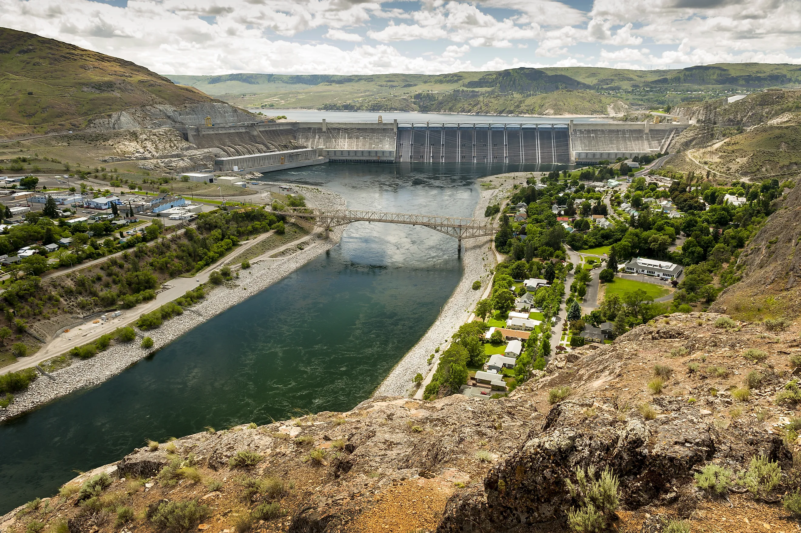
What Happens If Lake Roosevelt Drops Below Grand Coulee's Power Intakes
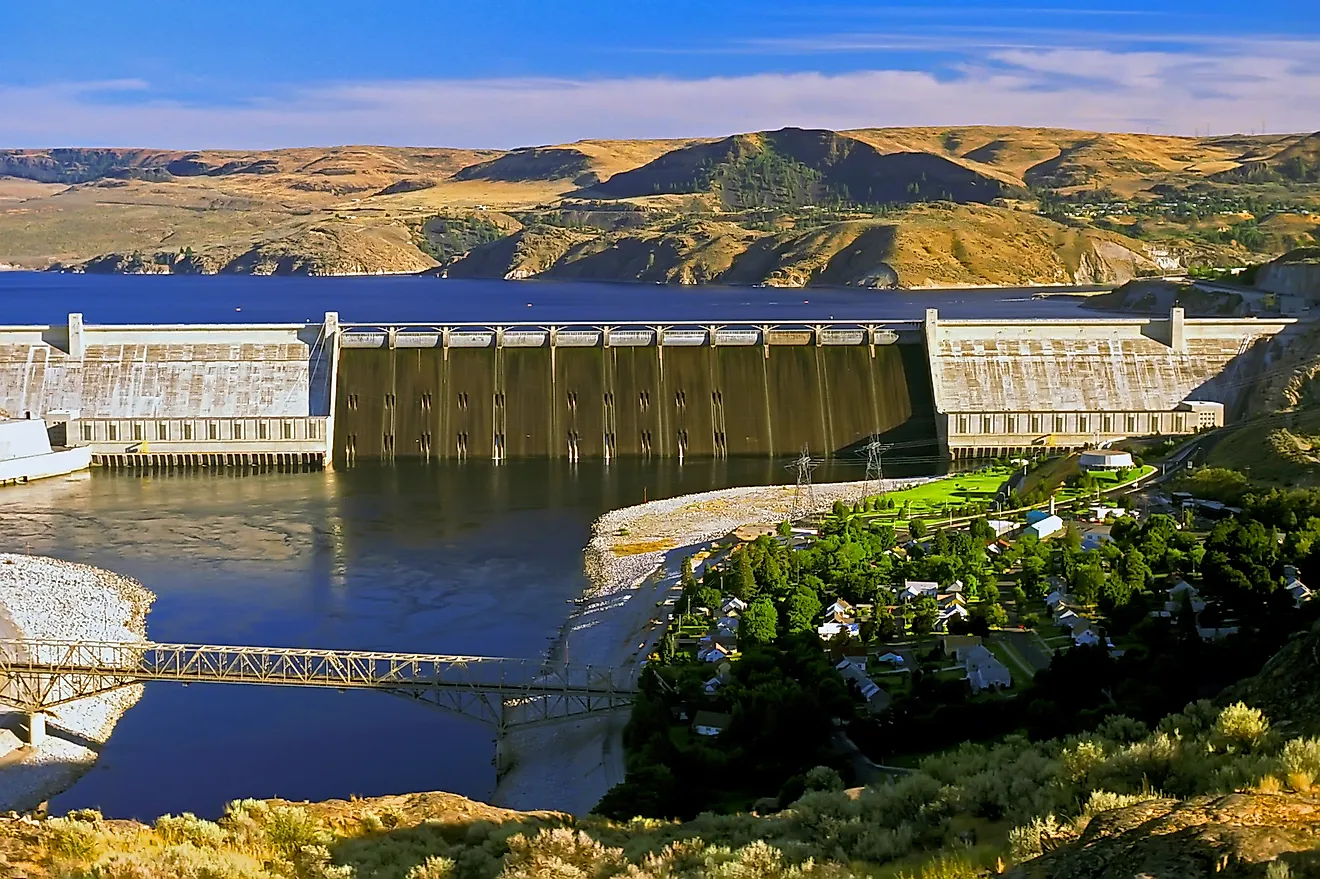
This question has a different answer from the versions about Lake Mead and Lake Powell, and the difference matters. Lake Roosevelt is drawn down every single year on purpose, by design, as part of normal operations, and then the Columbia River refills it. The reservoir moves through an 82-foot operating band between full pool at 1,290 feet and minimum flood pool at 1,208, and it does that annually rather than as a crisis. Grand Coulee Dam is also the largest power station in the United States at 6,809 megawatts, more than three times Hoover, so when it does produce less the consequences are correspondingly large. Here is what the thresholds actually are and which one is genuinely worth worrying about.
The Scale Of What Is At Stake
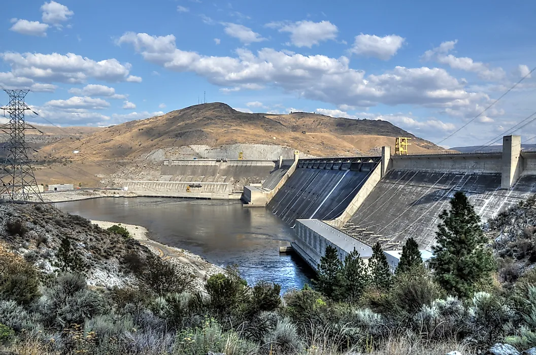
Grand Coulee runs four powerhouses and 33 generating units for a combined nameplate capacity of 6,809 megawatts, which makes it the largest power station in the country by a considerable margin. Hoover Dam manages 2,080, so Grand Coulee is roughly 3.3 times the size of the more famous structure.
It produces more than 21 billion kilowatt-hours a year, enough for around two million households, and supplies something like 35 percent of the entire power supply of the Pacific Northwest. That last figure is why it gets called the workhorse of the Federal Columbia River Power System.
The Reservoir Is Meant To Go Up And Down
Lake Roosevelt stretches 151 miles behind the dam in Washington with around 5.2 million acre-feet of active storage, and the entire point of that storage is that it gets used. The reservoir operates between a normal full pool of 1,290 feet and a minimum flood pool of 1,208, with up to five million acre-feet of space reserved for flood control. Reclamation draws the lake down in advance of the spring freshet so there is somewhere to put the snowmelt, then lets it refill through the summer.
That 82-foot band is worth comparing to the Colorado reservoirs. Lake Mead's range from full pool to dead pool is 334 feet, and Powell's is around 330. Lake Roosevelt operates inside a quarter of that distance and crosses most of it every year.
Four Competing Demands On One Elevation

The reason the lake level is complicated has nothing to do with drought and everything to do with four groups wanting it in four different places at once.
Flood control wants it low in spring so the reservoir can absorb runoff. Recreation wants it high in summer, because a boat ramp on a drawn-down reservoir ends in mud. Salmon managers want water released in summer to augment downstream flows for migrating fish. And power generation wants it as high as possible year-round, because head is what makes electricity.
Those four cannot all be satisfied, so the elevation is a negotiated compromise that shifts through the calendar. Nobody is entirely happy, which is generally the sign of a functioning water management system.
The Pumps Are The Real Constraint
Here is the threshold that matters more than the turbines do, and it gets considerably less attention. The Columbia Basin Project irrigates over 600,000 acres of eastern Washington, and it does that by pumping water out of Lake Roosevelt and lifting it 280 feet into a feeder canal that fills Banks Lake, which then distributes it. Six pumps rated at 65,000 horsepower each do the lifting, and the Keys Pumping Plant handles the rest.
Pumping water uphill from a reservoir requires the reservoir to be at a workable elevation. Drop the lake far enough and the lift gets longer, the pumping gets less efficient, and eventually the system struggles to deliver. For the farms of the Columbia Basin, that threshold arrives before anything happens to the power supply.
What Falling Levels Do To Generation
Hydropower output depends on head, meaning the vertical distance water falls to reach the turbines, so a lower reservoir produces less electricity from the same volume passing through it.
That decline is gradual rather than a cliff. Grand Coulee at 1,208 feet is producing meaningfully less than Grand Coulee at 1,290, without anything failing or shutting off. The dam is simply extracting less energy from each acre-foot on its way downstream.
Multiply a modest percentage reduction by the largest generating station in the country and you still get a very large number of missing megawatt-hours, which is why the Bonneville Power Administration watches runoff forecasts closely.
The Columbia Is Not The Colorado

This is the structural difference that makes Grand Coulee's position so much less alarming than Glen Canyon's, and it comes down to how much water each river actually carries.
The Columbia is one of the highest-volume rivers in North America, draining a basin that includes a large slice of British Columbia and receives genuinely reliable precipitation. The Colorado's natural flow has averaged around 12.3 million acre-feet a year since 2000 and is fully allocated before it reaches the sea.
Lake Roosevelt is not fighting a long-term structural deficit. It is managing an annual cycle on a river that keeps showing up, which is a completely different engineering problem.
Bad Years Still Happen
None of that means the Northwest is immune, and low-snowpack years produce real consequences. When Columbia Basin runoff comes in well below average, Grand Coulee generates less, the region imports more power, prices rise and the tradeoffs between fish flows, irrigation and generation get sharper. The Northwest has been through drought years that forced difficult choices about which purpose got priority.
The difference is recovery. A bad water year on the Columbia is followed by a normal one that refills the reservoir, whereas a bad year on the Colorado is followed by another year of drawing down storage that never came back.
Salmon Complicate Everything

Grand Coulee has no fish passage at all, and that was not an oversight. At 550 feet it was simply too tall for any ladder design available at the time, so when it closed in 1942 it permanently blocked salmon from more than a thousand miles of upstream habitat, including the entire stretch past the Colville Indian Reservation.
What survives downstream now depends partly on releases from Lake Roosevelt timed to help juvenile fish reach the ocean. That obligation competes directly with holding water for power generation, which is one of the four demands mentioned earlier and the one with the most legal force behind it.
Where The Actual Risk Sits
Put the thresholds in order and the sequence looks nothing like the Colorado version of this question. Generation declines steadily as the reservoir falls through its operating band, and that happens every year without incident. Irrigation pumping gets harder as the lift increases, which is the first genuinely operational constraint. And the true minimum pool sits far enough below normal operations that reaching it would require a run of failures well outside the historical record.
The realistic bad outcome at Grand Coulee is an expensive year rather than a broken system, which is a meaningfully different category of problem.
The Short Answer

If Lake Roosevelt drops, Grand Coulee produces less electricity, the Pacific Northwest buys more power from elsewhere, irrigation pumping to Banks Lake gets more difficult, and boat ramps end in mud. Then the snow melts, the Columbia arrives, and the reservoir fills back up.
That is the part worth holding onto. The largest power station in the United States sits on a reservoir that empties on schedule and refills on schedule, which is precisely what the Colorado River reservoirs stopped being able to do about twenty years ago.