What Happens If A Major Dam Fails In The American West
When Idaho's Teton Dam failed on June 5, 1976, the scale became clear almost immediately. The breach released about 1 million cubic feet of water per second, and roughly 240,000 acre-feet escaped as the reservoir emptied in less than six hours. More than 180 square miles were inundated. Teton is a useful guide to what a major western dam failure actually looks like. The first danger is the flood. The problems that follow can last much longer, especially when the same structure stores irrigation water or generates electricity.
The Flood Would Arrive Fast
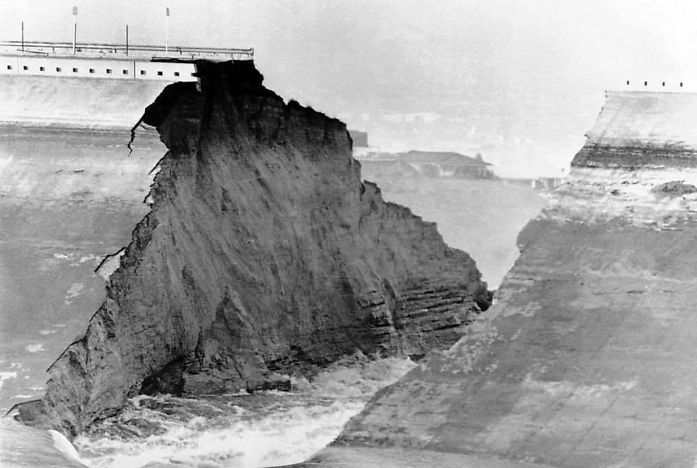
Teton Dam gave way around noon. The Bureau of Reclamation puts the peak release at about 1 million cubic feet per second. A later federal reconstruction described a roughly 15-foot wall of water reaching Sugar City while moving around 10 to 15 mph. By the time the flood spread across the Snake River Plain, more than 180 square miles had been inundated.
The force was visible in what the water carried. Eyewitness Dale Howard remembered a large oil tank being picked up "like a cork," while cottonwoods below the dam snapped as the surge arrived. Warning made an enormous difference. Wilford, Sugar City, and Rexburg had roughly 30 minutes to an hour before the worst flooding. More than 30,000 people evacuated. Eleven people died, and federal reviews found that several fatalities occurred after people who had already escaped returned to the flood zone.
Whole Neighborhoods Could Be Swept Apart

Wilford was only 8.4 miles downstream. The flood arrived in about 30 minutes and swept away 120 of the community's 154 homes. Across the full disaster area, federal records count 771 homes destroyed and another 3,002 damaged.
The transportation damage stretched well beyond individual neighborhoods. Roads were cut apart where water crossed the plain, and bridge failures complicated access after the crest had moved on. Idaho transportation crews began emergency repairs almost immediately; contemporary accounts describe pieces of highway pavement ending up out in agricultural fields. A house that survives a flood is not much use if the road serving it has vanished. The same problem slows ambulances and the heavy equipment needed to begin rebuilding.
Tap Water Could Become A Problem Even Where Houses Survive

Sugar City provides a particularly concrete example. An account published by the American Water Works Association after Teton reported that the city's entire water system was destroyed. Replacing it cost $567,000 in 1976 dollars. In Rexburg, crews made clearing flood mud from sewer lines one of their first priorities so the system could function again.
Flooding can damage a utility even where houses remain upright. The EPA warns that washouts can break mains or expose buried pipes. A flooded treatment site can also lose electricity while dirty water reaches its intake.
The 1963 Baldwin Hills Reservoir failure caused similar trouble in Los Angeles, where floodwater tore out water and sewer lines along its path. The visible flood may be over by then, but a neighborhood without functioning sewage disposal or reliable tap water is still in an emergency.
Farmers Could Lose Water Without Ever Seeing The Flood
After Teton, the Bureau of Reclamation had an urgent problem on land that had escaped the worst flooding. About 427,000 acres needed irrigation service restored. Reclamation noted that much of the endangered cropland was untouched by the flood itself; the canals and pumping works delivering its water had been damaged instead. Crews restored service to practically all of the affected acreage within a few weeks.
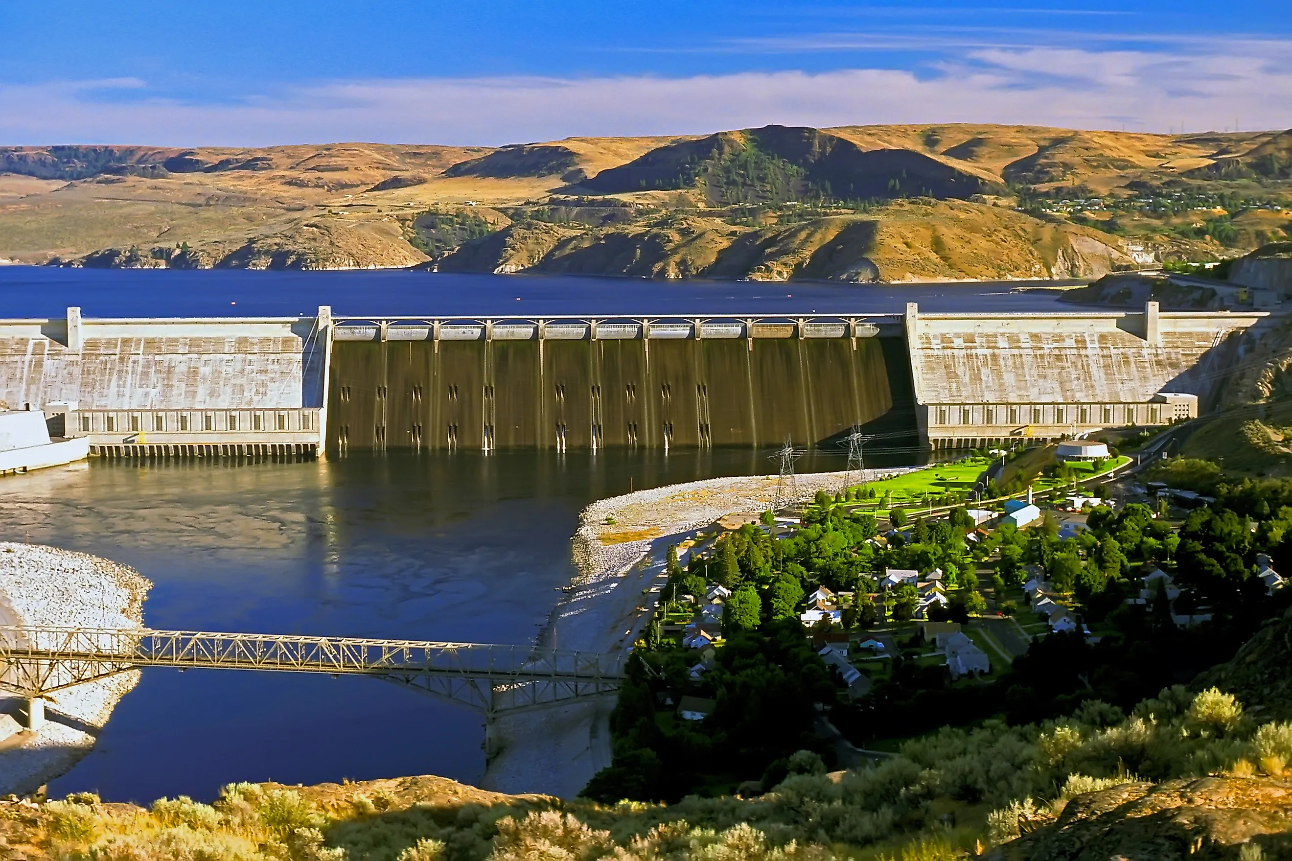
Grand Coulee shows how much larger that dependency can become. Water pumped from the Columbia River feeds the Columbia Basin Project, which now serves about 671,000 acres of Washington farmland. Its system includes more than 300 miles of main canals and roughly 2,000 miles of laterals. A dam problem can therefore become an agricultural emergency far from the structure itself. At Teton, farms directly in the flood path suffered another blow: federal reconstruction of the disaster counted 16,650 livestock lost.
A Major Hydropower Plant Could Go Offline In Minutes
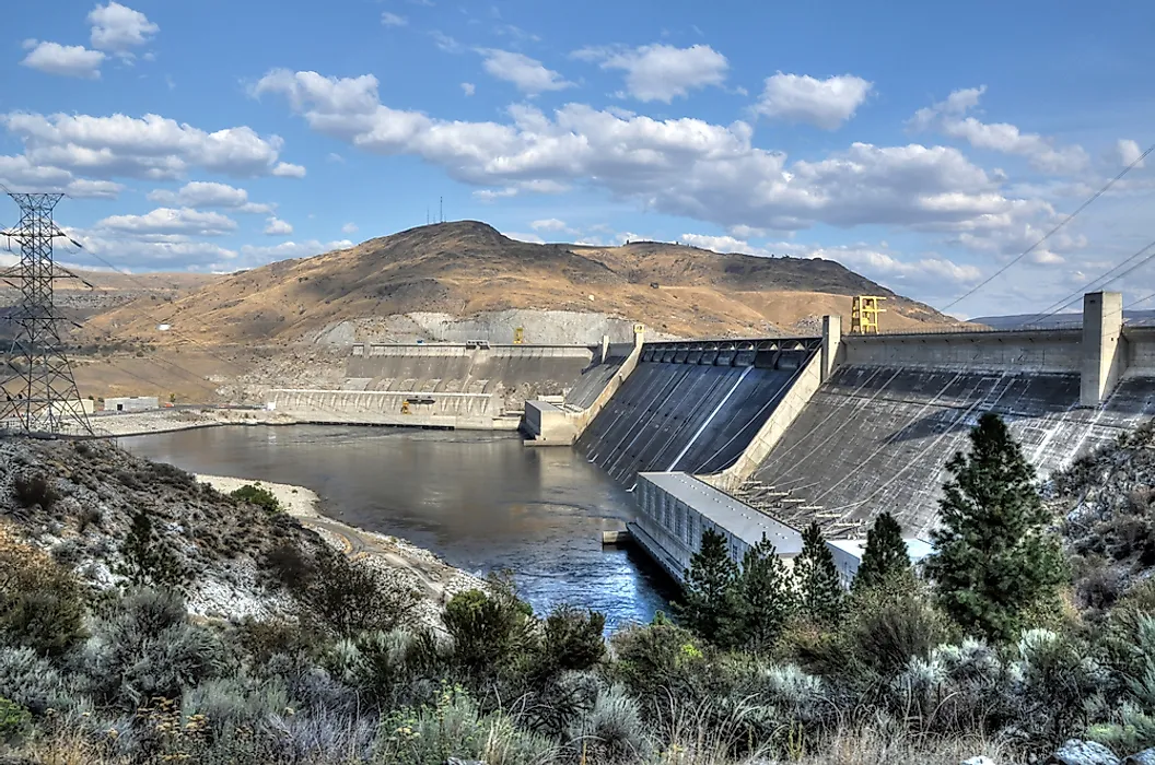
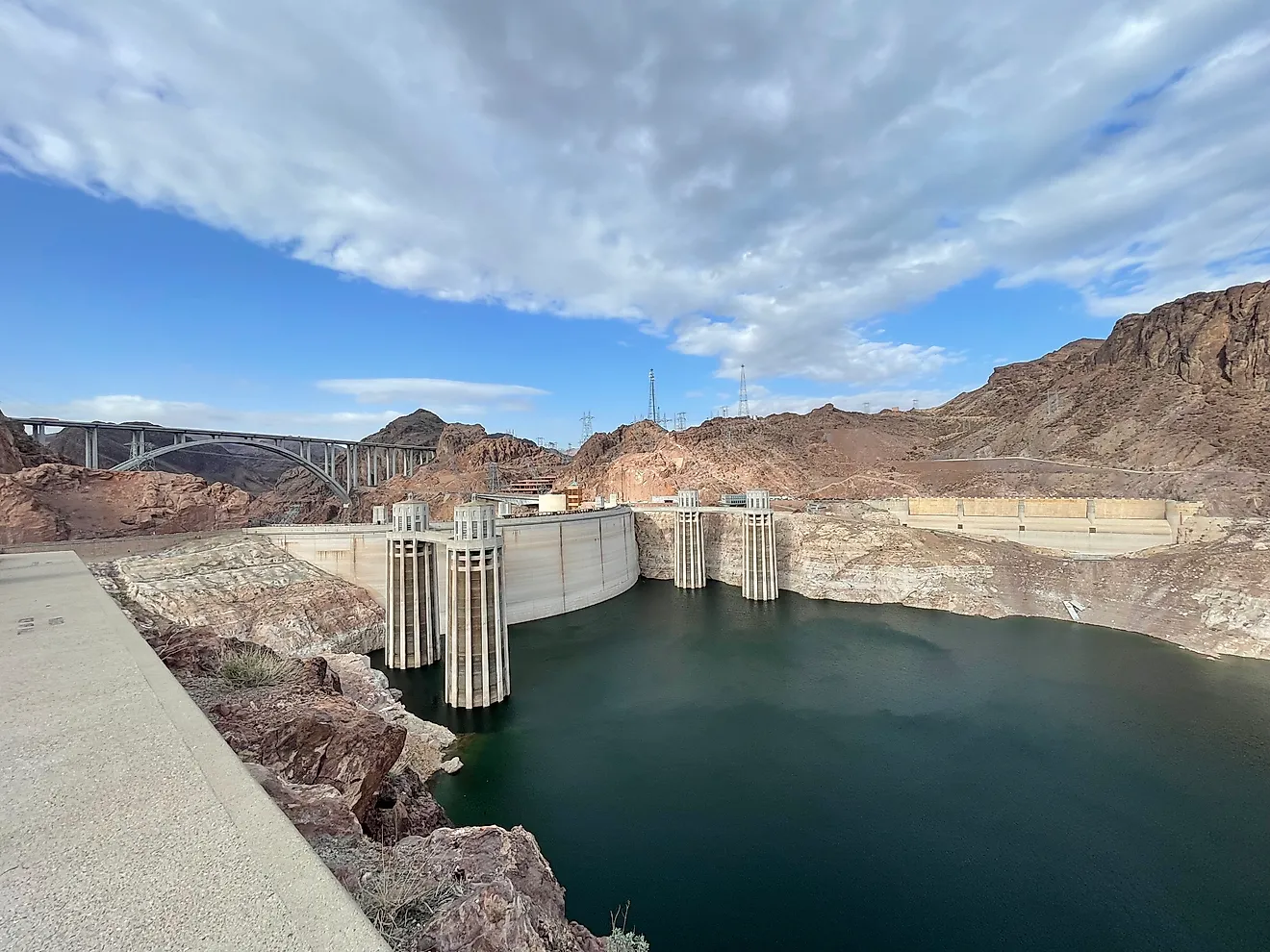
Grand Coulee has more than 6,809 megawatts of generating capacity. The Bureau of Reclamation says it can produce more than 21 billion kilowatt-hours in a year, enough electricity for about 2 million households. A structural failure would remove that generation while crews were dealing with the physical disaster at the site.
That does not mean the entire West would suddenly go dark. Grand Coulee operates inside a much larger interconnected grid. The challenge is the size and speed of the loss. Hydroelectric units can raise or lower output quickly when electricity demand changes, so thousands of megawatts disappearing with little warning would have to be replaced by generation elsewhere. Grand Coulee is also part of the coordinated federal hydroelectric system that Reclamation says provides about 35 percent of the Pacific Northwest's electricity.
The Reservoir Itself Could Be Gone

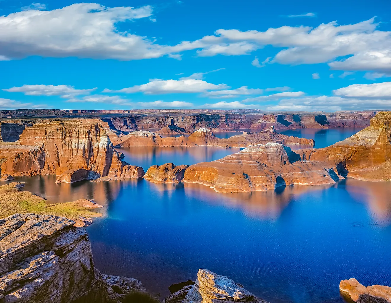
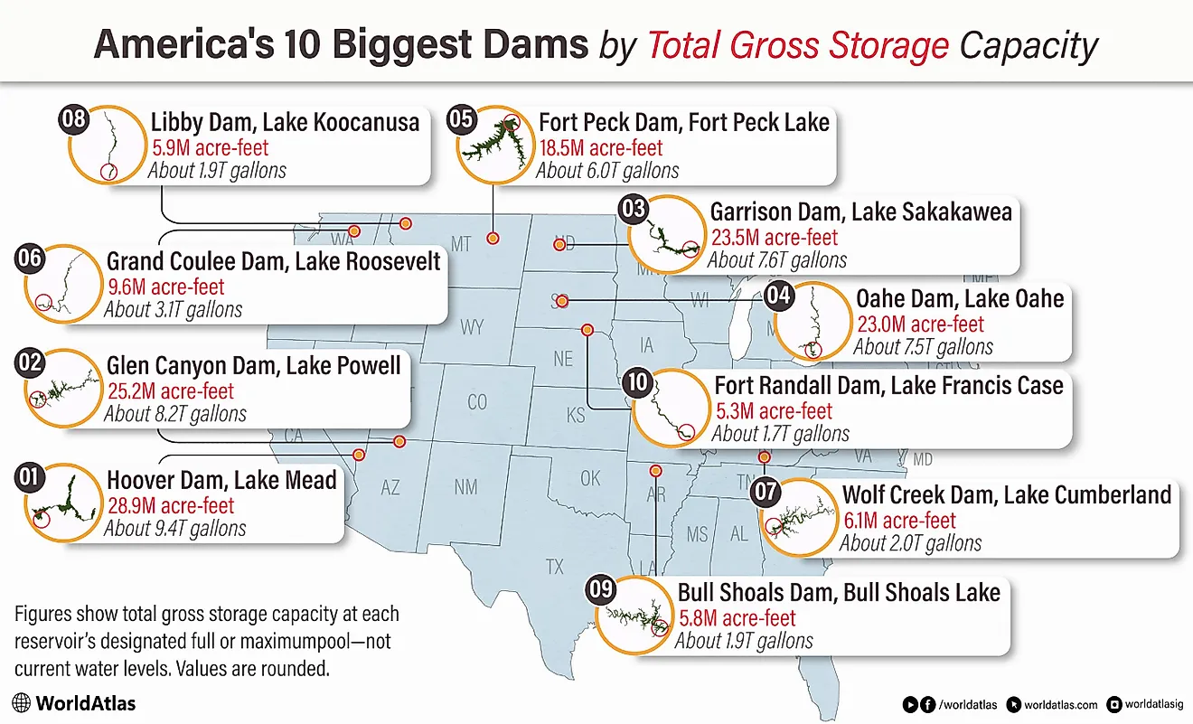
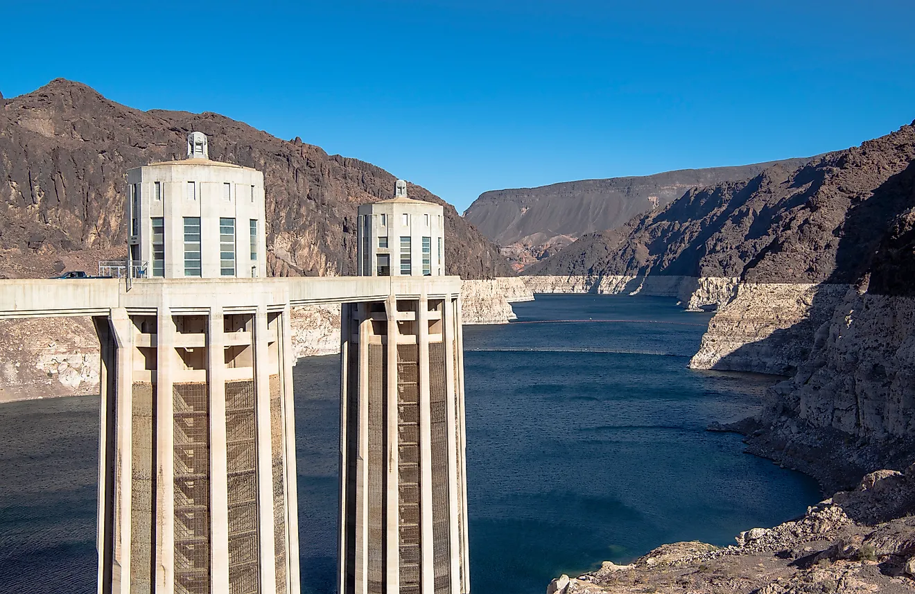
Lake Powell shows why losing the reservoir can matter almost as much as losing the dam. At full operating elevation, Glen Canyon Dam has about 24.3 million acre-feet of live storage available behind it. Reclamation says Lake Powell contains roughly 80 percent of the combined storage capacity of the four original Colorado River Storage Project units.
Reclamation describes that reserve as a water bank for drought. Glen Canyon helps regulate Colorado River flows so downstream delivery obligations can still be met during dry periods without imposing the entire shortage on the Upper Basin. If the structure could no longer impound Lake Powell, millions of acre-feet of storage capacity would be missing from the system. Other reservoirs could change their releases, but they could not simply reproduce that lost space.
The River Could Start Digging Through Decades Of Stored Sediment

The Elwha River in Washington gives this consequence hard numbers. Its two former reservoirs held about 27 million cubic yards of trapped sediment. During the first two years of deliberate dam removal, more than one-third of that material eroded from the reservoirs. USGS measured 7.1 million tonnes moving down the river in the second year alone, about 20 times the Elwha's normal annual sediment load.
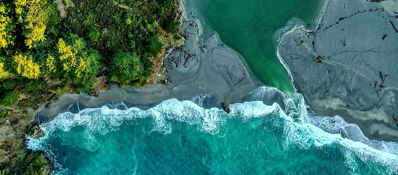
The coast changed too. Huge amounts of newly released material accumulated around the river mouth, rebuilding areas that had received little sediment while the dams stood. The Elwha dams were dismantled gradually, so this is not a measure of how quickly sediment would move after an uncontrolled failure. It demonstrates something more basic: a reservoir can store decades of river material, and removing the barrier lets the river start moving it again.
The Next Dam Downstream Could Suddenly Matter A Lot

USGS mapped the Teton flood for about 100 miles downstream, all the way to American Falls Reservoir. Then the flooding stopped. Its post-disaster surveys found no flooding downstream from American Falls, where available reservoir capacity absorbed what remained of the surge.
That outcome is not automatic. Federal dam-safety planning also examines the opposite possibility: an upstream breach can send enough water toward another reservoir to threaten overtopping. How much room is available when the wave arrives becomes critical. At Teton, the next large reservoir helped end the flood. Had that storage already been unavailable, the lower Snake River would have faced a very different event.
Fish Habitat Could Be Rearranged In A Single Season

The Elwha dams had blocked migrating salmon and trout from more than 70 miles of river habitat. Once the barriers were removed, fish began moving into stretches they had been unable to reach for roughly a century. Sediment trapped in the reservoirs also began moving toward the coast.
The recovery has not been instant. Some upper reaches remain sparsely used by Chinook salmon years after removal, and biologists have continued helping fish recolonize parts of the watershed. That is important when thinking about a catastrophic failure. The first effects could be severe because a sudden flood can disturb spawning habitat and send a heavy sediment pulse downstream. Removing the barrier, however, also reconnects habitat that may have been inaccessible for generations. Those two effects can happen on completely different timescales.
Evacuation Could Begin Before The Dam Actually Breaks

Oroville Dam never failed in 2017. It still forced one of the largest dam-related evacuations in recent U.S. history. Damage appeared in the main spillway on February 7. Four days later, Lake Oroville climbed above 901 feet and sent water across the emergency spillway for the first time in the dam's operating history.
The following afternoon, erosion below that emergency structure advanced quickly enough that authorities feared part of its crest could fail. Evacuation orders went out downstream, ultimately affecting about 188,000 people. Operators increased discharge through the damaged main spillway to 100,000 cubic feet per second. By that evening, the lake had fallen back below 901 feet and flow over the emergency spillway stopped. Residents began returning days later. No breach was required to empty entire communities.
The Failure Outlasts The Flood
Teton Reservoir lost roughly 240,000 acre-feet of water in about six hours. Recovery worked on a completely different clock. Irrigation service to most of the threatened 427,000 acres was restored within weeks because crops could not wait. Houses and public infrastructure took much longer, and Teton Dam itself was never rebuilt.
The contrast is what makes a major dam failure different from a single flood. At Teton, the reservoir was essentially gone before the day was over. The roads and water systems left behind still needed rebuilding, while damage claims continued for years. The violent part is measured in hours. The consequences are not.