The US Lakes Where Water Levels Are Actually Rising
Lake water levels are always shifting. Rainfall and snowmelt add water while evaporation and outflow carry it away. Drought and shrinking reservoirs tend to dominate the news, yet several US lakes have quietly risen over the past decade. Those gains reshape shorelines and flood risk alike. This list gathers examples documented by federal and state agencies, where precipitation and snowpack pushed levels back up.
Lake Superior

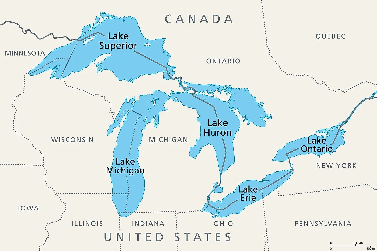
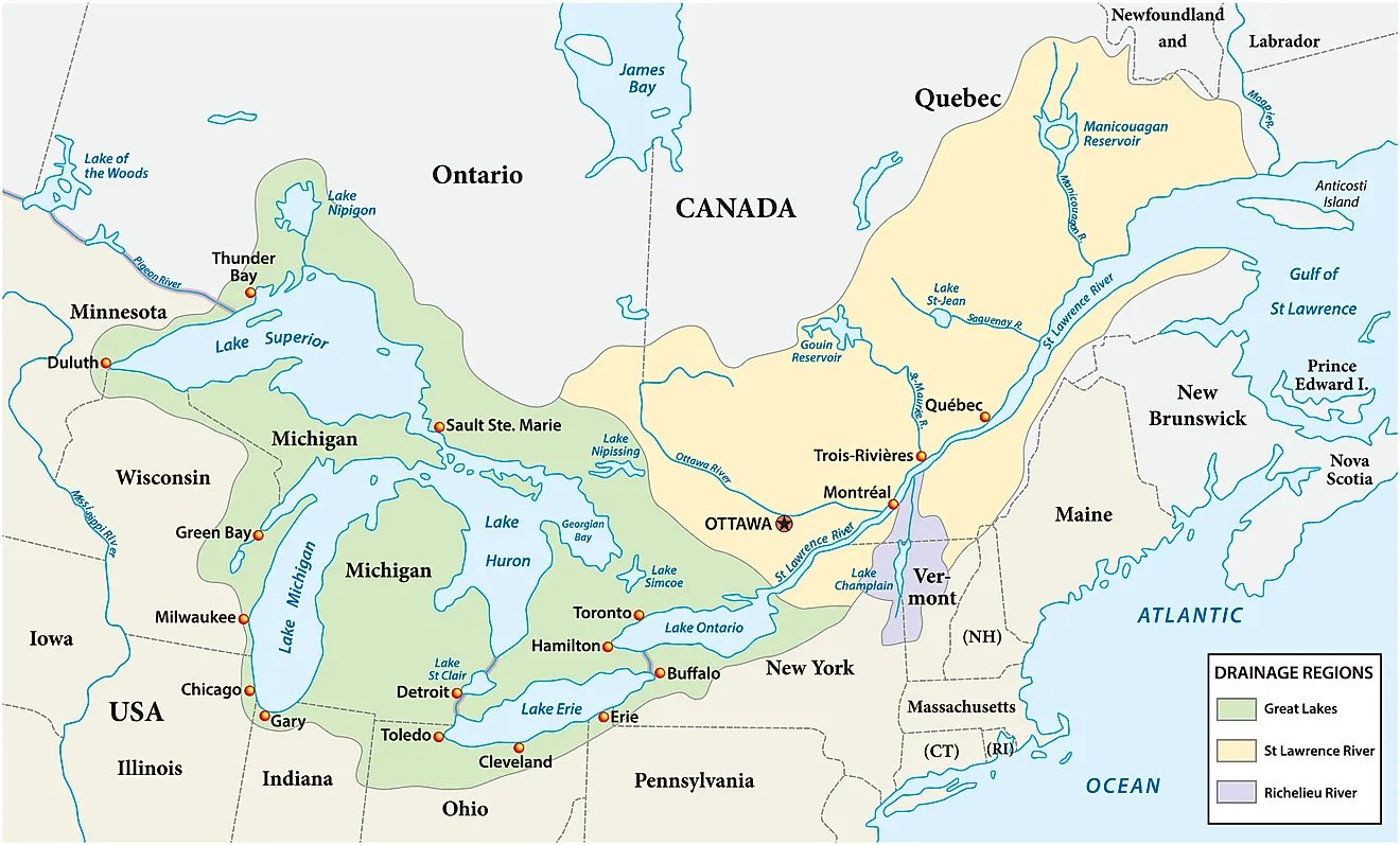
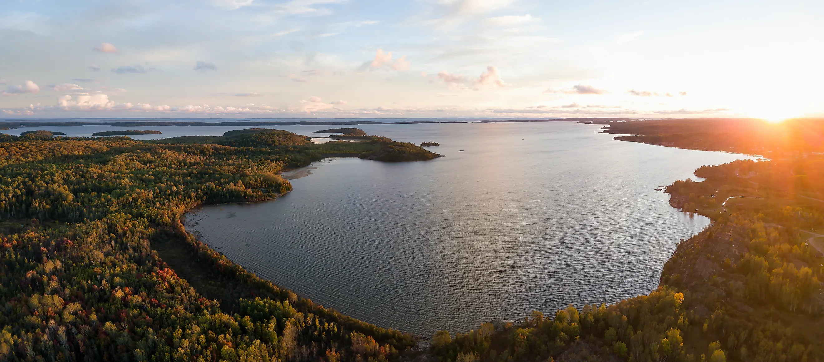
Covering 31,700 square miles (82,100 km²), Lake Superior is the largest freshwater lake by surface area in the world. Although its water level naturally fluctuates throughout the year, it has spent much of the past decade above its long-term average following several exceptionally wet years across the Upper Great Lakes watershed.
According to NOAA's Great Lakes Water Levels program, increased precipitation, higher runoff, and seasonal variations in evaporation have all contributed to elevated water levels. Because Lake Superior sits at the top of the Great Lakes system, changes here eventually influence downstream lakes through interconnected waterways.
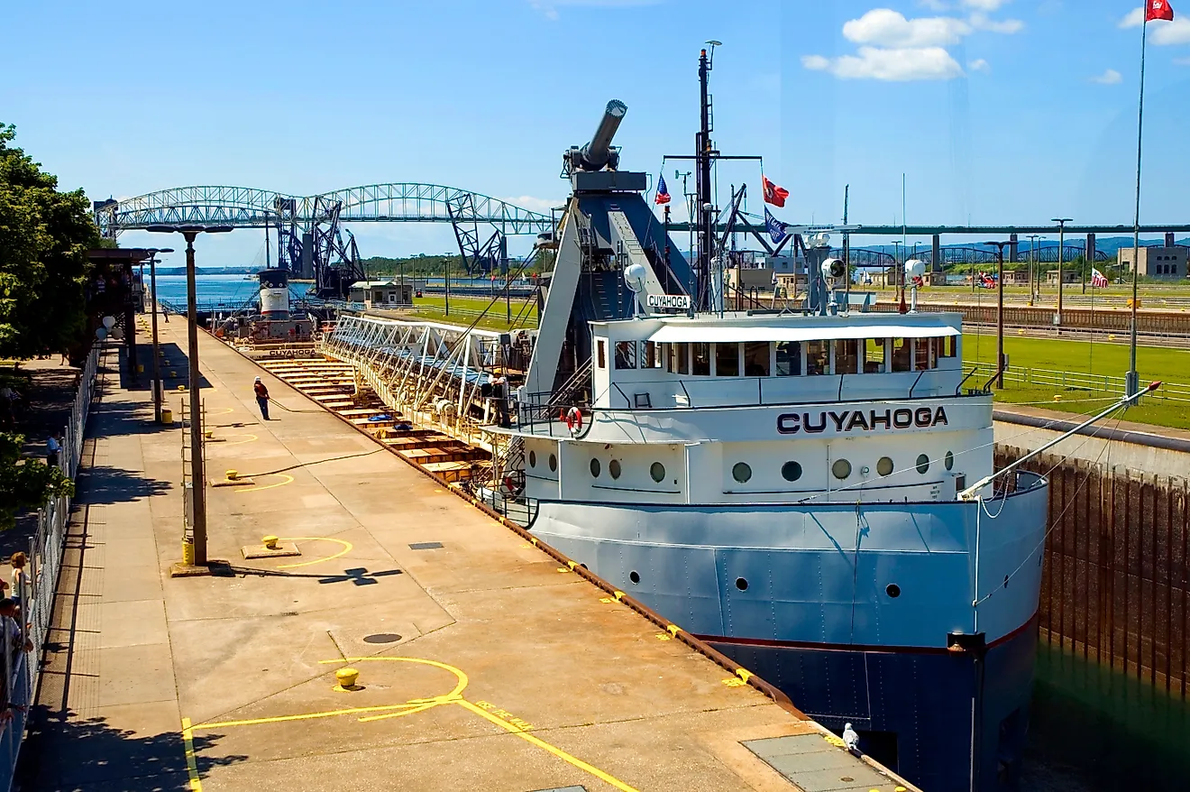
Higher lake levels improve navigation by allowing cargo vessels to carry heavier loads, but they also accelerate shoreline erosion and increase flooding along exposed coastlines in Minnesota, Wisconsin, and Michigan.
Lake Michigan

Lake Michigan spans 22,400 square miles (58,000 km²) and is the only Great Lake located entirely within the United States. After reaching historically low levels in 2013, the lake experienced one of the fastest water-level increases on record.
Above-average precipitation across the Midwest and increased inflows from tributary rivers rapidly raised the lake during the late 2010s. By 2020, many beaches had narrowed or disappeared as higher water accelerated bluff erosion and flooded parks, trails, and marinas.
The U.S. Geological Survey's report on Great Lakes water-level variability explains that these dramatic swings reflect changing balances between precipitation, runoff, evaporation, and outflow.
Lake Huron

Hydrologically connected to Lake Michigan through the Straits of Mackinac, Lake Huron shares nearly identical water levels with its western neighbor. Covering 23,000 square miles (59,600 km²), it experienced the same dramatic rise during the late 2010s.
Communities along Michigan's eastern shoreline dealt with flooded marinas, damaged infrastructure, and accelerated erosion as water remained well above historical averages. Federal monitoring shows these increases resulted primarily from sustained wet weather throughout the Great Lakes basin rather than a single storm event.
Lake Erie

Lake Erie covers 9,910 square miles (25,667 km²) and is the shallowest of the Great Lakes. Its relatively shallow basin allows water levels to respond more rapidly to heavy rainfall, storms, and strong winds than the deeper lakes.
Recent years have brought above-average water levels following wetter-than-normal winters and springs across the Ohio River and Great Lakes watersheds. Higher water has increased shoreline flooding while also altering coastal wetlands.
Scientists also note that the same heavy rainfall events that raise Lake Erie often transport nutrient-rich runoff into the lake, contributing to harmful algal blooms.
Lake Ontario

At 7,340 square miles (19,010 km²), Lake Ontario has experienced several years of unusually high water that produced extensive flooding along both U.S. and Canadian shorelines.
Heavy rainfall across the Great Lakes basin, combined with increased inflows from upstream lakes and spring snowmelt, has repeatedly pushed the lake above average. Although outflows through the St. Lawrence River are regulated, exceptionally wet conditions can overwhelm those controls.
Kentucky Lake

Kentucky Lake, a reservoir on the Tennessee River, covers roughly 250 square miles (647 km²) at normal pool. Unlike natural lakes, its water level is actively managed by the Tennessee Valley Authority's lake level program.
Following particularly wet winters and springs, inflows from the Tennessee River Basin often cause the reservoir to rise substantially before controlled releases gradually lower water levels.
Lake Lanier

Georgia's Lake Lanier covers approximately 59 square miles (153 km²) and supplies drinking water to millions of residents in metropolitan Atlanta.
The reservoir has become known for dramatic fluctuations between drought and abundance. After reaching critically low levels during the late 2000s, several years of above-average rainfall repeatedly returned the lake to full pool.
The U.S. Army Corps of Engineers, Mobile District manages the reservoir to balance water supply, flood control, hydropower, and recreation.
Devils Lake

North Dakota's Devils Lake provides one of America's clearest examples of long-term rising water levels. Today the lake covers more than 170 square miles (440 km²), having expanded dramatically since the early 1990s.
Unlike most lakes, Devils Lake has no natural outlet under typical conditions. The U.S. Geological Survey's Devils Lake Basin research explains that decades of above-average precipitation combined with limited evaporation caused the lake to rise by dozens of feet, flooding farmland, roads, homes, and public infrastructure.
Great Salt Lake

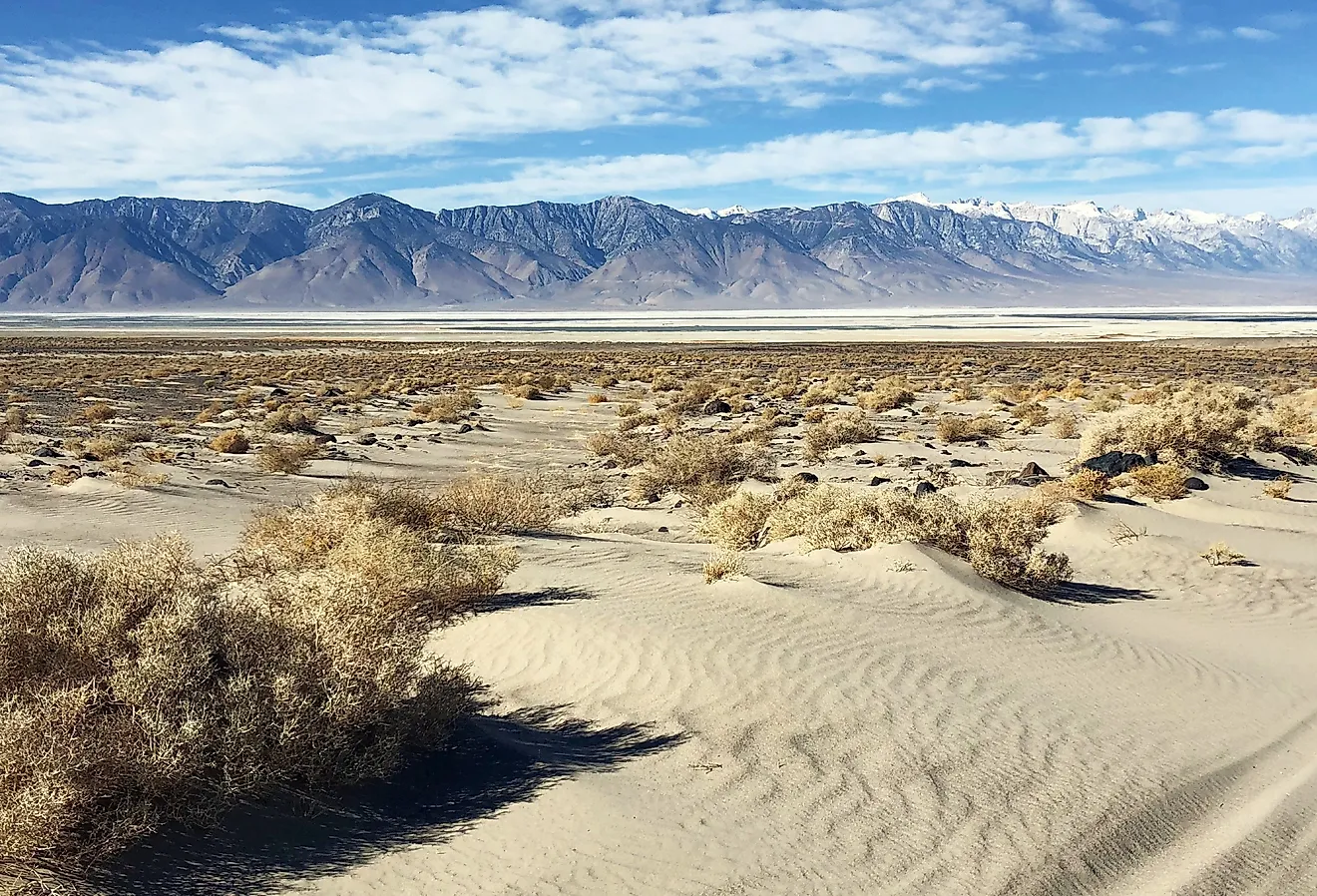
Although the Great Salt Lake has become synonymous with declining water levels, recent years have shown that recovery is possible under the right conditions.
Exceptional mountain snowpack during the winters of 2022-23 and 2023-24 produced strong spring runoff that temporarily raised lake elevations. The U.S. Geological Survey's Great Salt Lake monitoring program tracks these changes and notes that long-term recovery will depend on sustained inflows and water conservation.
Lake Oroville

Lake Oroville, California's second-largest reservoir, covers approximately 24 square miles (62 km²) when full.
Following years of historic drought, a series of powerful atmospheric rivers during 2023 rapidly replenished the reservoir. Snowmelt from the Sierra Nevada added even more water, allowing the lake to recover to near-capacity.
The California Department of Water Resources' California Data Exchange Center monitors reservoir storage and water conditions throughout the state.
Why Some Lakes Rise While Others Continue to Fall
Water levels are shaped by a combination of climate, geography, and human management. The Great Lakes respond primarily to precipitation, runoff, evaporation, and seasonal ice cover across one of the world's largest freshwater watersheds. Reservoirs such as Kentucky Lake, Lake Lanier, and Lake Oroville are also managed to balance drinking water supplies, flood control, hydropower generation, and recreation. Closed-basin lakes like Devils Lake behave differently still, often continuing to rise for years when inflows consistently exceed evaporation.
The U.S. Geological Survey's research notes that lake levels respond to complex interactions among precipitation, streamflow, evaporation, and outflow, while changing climate patterns can amplify these natural fluctuations.
Together, these examples illustrate an important reality. America's lakes are becoming increasingly dynamic. While some continue to shrink under the pressure of warming temperatures and declining inflows, others are reaching levels not seen in decades. Ongoing monitoring by NOAA, the U.S. Geological Survey, the U.S. Army Corps of Engineers, and state water agencies helps communities prepare for both flooding and future water shortages.