The Towns Buried Under America's Largest Reservoirs
Throughout the 20th century, efforts to control rivers reshaped huge stretches of the American landscape. When a river was dammed to create a reservoir, the towns in the flood path were bought out, torn down, or simply abandoned to the rising water, occasionally reappearing when water levels drop. Even though residents were resettled elsewhere, the accumulated history of each place mostly went with them. The creation of Fontana Lake in North Carolina alone flooded at least nine communities, including Almond, Bushnell, and Japan.
St. Thomas, Nevada (Lake Mead)

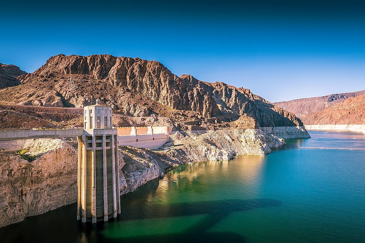
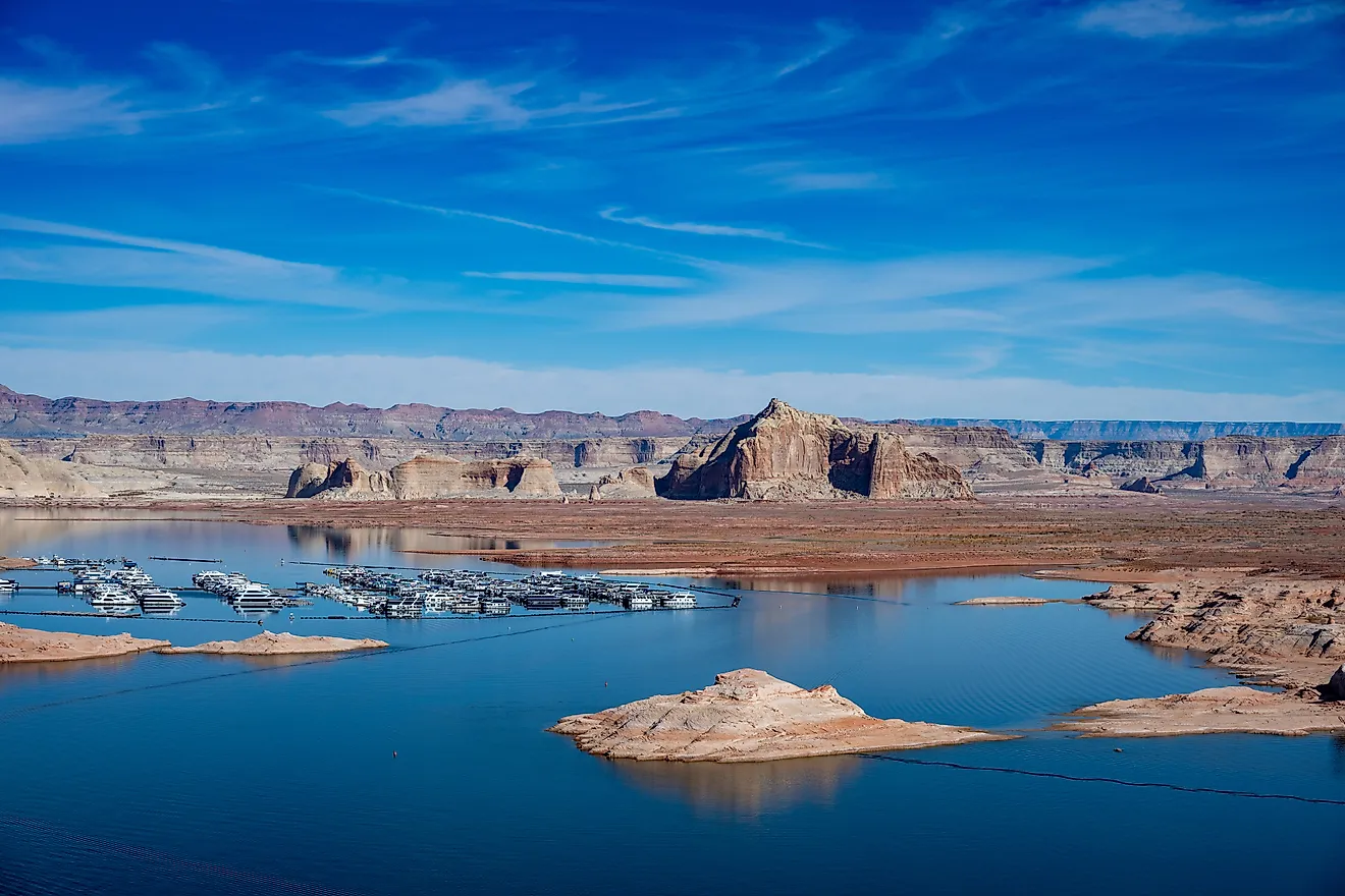
When the Hoover Dam was constructed between 1931 and 1935, it reshaped the American Southwest, holding back the Colorado River and supplying the water and power behind the growth of cities such as Las Vegas, Phoenix, and Los Angeles. The cost was borne by the people living in the path of the water that backed up behind it. Trapping the Colorado River created Lake Mead, which spans over 240 mi² (622 km²) when full.
St. Thomas was first settled in 1865 by Mormon pioneers, and settlers came for the fertile soil along the Muddy and Virgin Rivers as the town expanded. It became a stop along the Arrowhead Trail, the first all-weather automobile highway connecting Los Angeles and Salt Lake City. At its peak, the town had a schoolhouse, a post office, grocery stores, a church, and a 14-room hotel, with a population of around 500 by the time Hoover Dam construction began. The federal government bought out property owners as the reservoir filled, and by 1938, the town sat under 60 feet of water. Today, during periods of drought and low water, the ruins of St. Thomas are once again exposed.
Elbowoods, North Dakota (Lake Sakakawea)

The Garrison Dam is the fifth-largest earthen dam in the world. Built on the Missouri River in North Dakota, it was engineered primarily for flood control, but the toll on the communities in its path was enormous. Congress passed the Flood Control Act of 1944, authorizing six dams along the Missouri River, and the Garrison Dam sits on the project's upper stretch.
Established in 1891, Elbowoods was the agency headquarters for the Mandan, Hidatsa, and Arikara nations, a community with a school, a hospital, and several local businesses. The Garrison Dam was completed in 1953, and the reservoir it formed, Lake Sakakawea, flooded roughly a quarter of the Fort Berthold Indian Reservation, Elbowoods included. Hundreds of families were displaced and relocated to new communities after years of resistance to the government's plans. The town and some 156,000 acres of tribal land now sit beneath about 100 feet of water.
Celilo Village, Oregon (Lake Celilo)

The Dalles Dam on the Columbia River was, like Hoover Dam and Garrison Dam, devastating for the communities nearby. The cultural loss in this case runs especially deep: when the dam was completed and river levels rose, they permanently submerged Celilo Falls and Celilo Village, believed to be one of the oldest continuously inhabited settlement sites in North America. Congress authorized the project in 1950 to generate hydroelectric power for the region's postwar aluminum and aerospace industries, and to submerge a stretch of dangerous rapids for commercial shipping.
The dam was built between 1952 and 1957. Its reservoir flooded fishing sites that the Yakama, Warm Springs, Umatilla, and Nez Perce tribes held under the 1855 treaties, which recognized their right to fish "in common" at their usual and accustomed places. To settle the resulting claims, the Army Corps of Engineers negotiated payments to the four tribes totaling roughly $26.8 million. Celilo Falls, one of the most important fishing sites on the river, along with the neighboring village, was permanently submerged when the dam's gates closed on March 10, 1957.
Ferguson, South Carolina (Lake Marion)

Lake Marion was created as part of a Depression-era infrastructure project meant to bring electricity to rural South Carolina. Work to dam the Santee River began in 1939, resulting in the 110,000-acre Lake Marion and a second reservoir, Lake Moultrie, built at a lower elevation and connected by a diversion canal. Water dropped through a hydroelectric powerhouse at Pinopolis before emptying into the Cooper River. The rising water eventually covered more than 170,000 acres of land, and several hundred families were displaced.
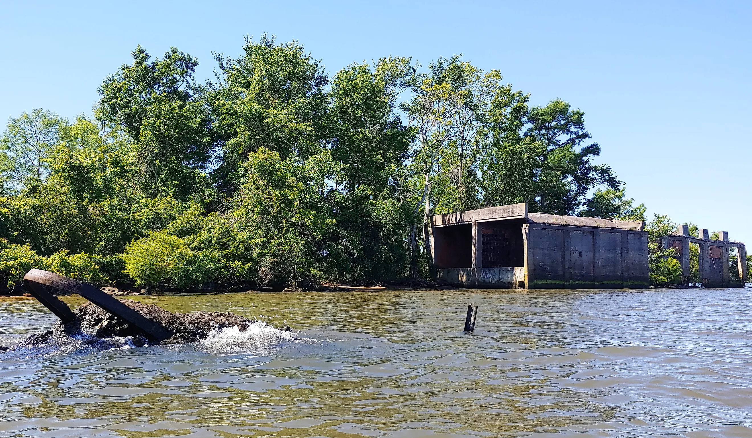
Several churches and thousands of graves were moved out of the flood zone, but most of the built infrastructure was left behind. Ferguson, a lumber town built around a mill on the Santee River, sat directly in the water's path. It is one of the few submerged towns in the country where part of the site is still visible above the waterline, including the old lumber kiln that still stands on what locals call Ferguson Island. Because clearing crews never finished cutting the basin before the water rose, tens of thousands of cypress trees and stumps were left standing, and they still break the surface across the lake today.
Tappan, Ohio (Tappan Lake)

Created in 1936 by the Muskingum Watershed Conservancy District (MWCD) as part of a regional flood-control system, Tappan Lake is a 2,350-acre reservoir. The town of Tappan, along with nearby Laceyville, was submerged in the process. Tappan was an agricultural hub with roughly four dozen homes, a newly built school, and three churches. Laceyville, established decades earlier, had been a stop along local carriage and stagecoach routes, with a general store, an inn, and a school of its own.
The rising reservoir also covered the Tappan Lake Riviera, a vacation spot with a dance hall, rental cabins, and other recreational buildings. Tappan itself is completely submerged, but the water is clear enough for divers to make out old foundations and stretches of road on the lakebed. Each winter, the MWCD lowers water levels for flood management, and building foundations, walls from the old Riviera resort, and segments of the abandoned US Route 250 become visible above the surface. The same flood-control system now includes 16 reservoirs across Ohio, and Tappan is only one of several with a submerged community beneath it.
Oakland Mills, Maryland (Liberty Reservoir)

The industrial village of Oakland Mills disappeared when the Liberty Reservoir was built on the North Branch of the Patapsco River to supply water to Baltimore. The village and its surrounding valley had been a company town built around textile manufacturing at the Melville Woolen Mill. In 1951, the City of Baltimore used eminent domain to buy out the mill for $1.5 million and acquire the surrounding farms and homes. Most of the mill's workers lived in company housing, and when it closed, they and their families were left without jobs or compensation for their homes.
The Liberty Dam was dedicated in 1954, and the reservoir had fully covered the site by 1956, making Oakland Mills one of the most complete inundations in the Mid-Atlantic; almost nothing of the community remains visible on land. The one exception is the Oakland United Methodist Church Cemetery, set high enough on the valley slope to escape the floodwaters, which still stands today. Everything else, the church itself, the mill, a community center, and every home, went under. Liberty Reservoir remains an active water source for Baltimore and is closed to swimming, boating, and diving, so unlike some of the other towns on this list, its ruins stay out of sight.
Lost Histories
Nobody knows exactly how many American towns went under this way in the 20th century, only that the number likely runs into the hundreds. The reasons varied: cheap electricity, flood control on farmland that flooded anyway, and safer river navigation. In every case, the trade was the same. A handful of towns, among them a few that were physically relocated before the water arrived, but most residents were simply resettled elsewhere while the places they'd lived in for generations disappeared. A few of these towns, like St. Thomas and Ferguson, resurface often enough during droughts to draw visitors and researchers. Most stay exactly where the engineers left them: underwater, unmarked, and known mainly to the families who once called them home.