Great Bitter Lake
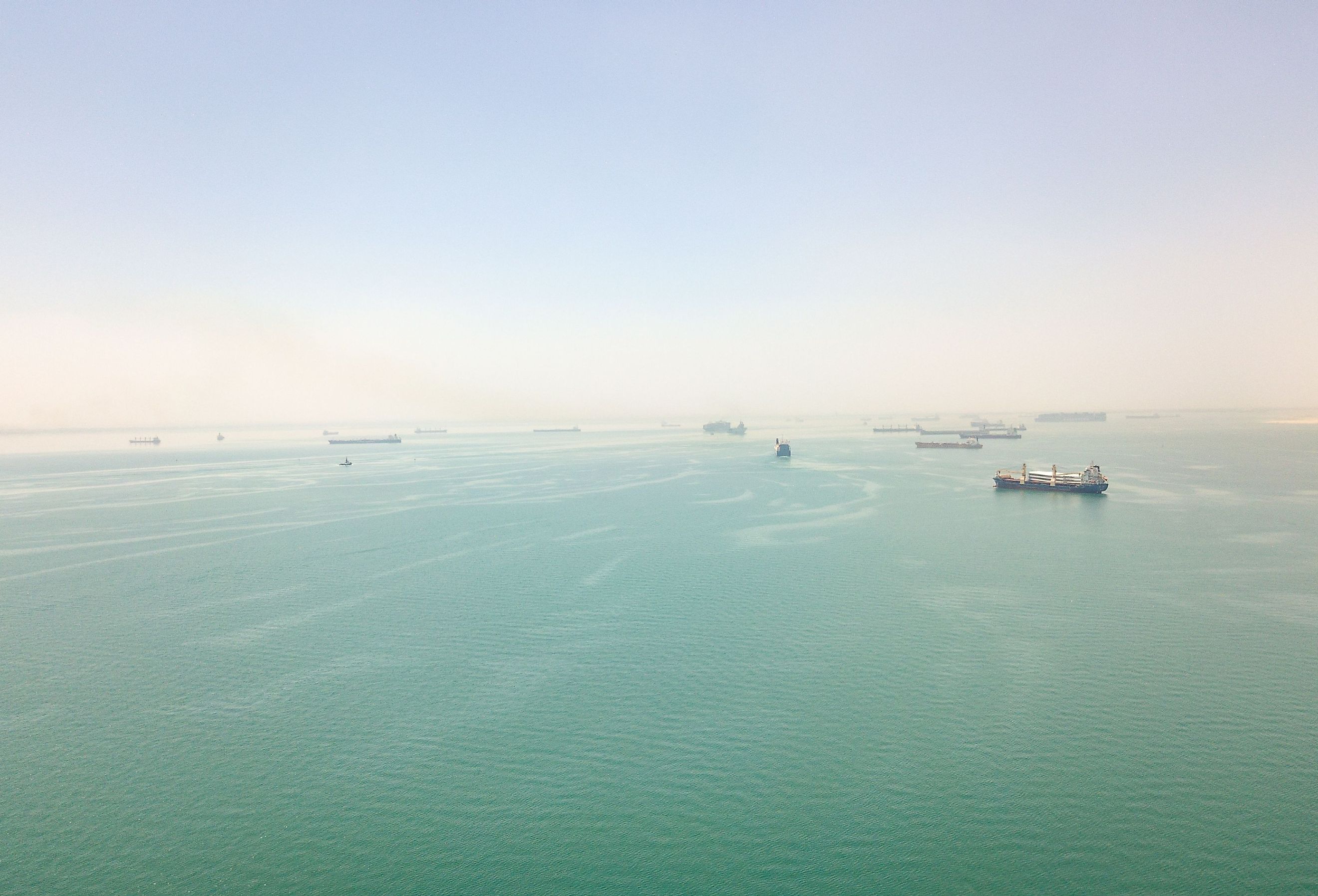
Also known as al-Buhayrah al-Murra al-Kubra in Arabic, the Great Bitter Lake is an expansive saline lake forming a part of the Suez Canal in Egypt. The Suez Canal links the Great Bitter Lake with the Small Bitter Lake, the Mediterranean Sea, and the Red Sea. As the Suez Canal only allows ships to pass in a single lane, the Great Bitter Lake acts like a “passing lane” for these ships, allowing them to alter their position before moving towards the north to Port Said or the south to the Port of Suez. Located in Egypt’s Ismailia Governorate on the Great Bitter Lake’s western shores is the city of Fayed, which serves as a tourist destination for the residents of Cairo, especially during the summer months.
Geography Of Great Bitter Lake

Situated at the approximate midpoint of the Suez Canal, the Great Bitter Lake, with a total surface area of about 75 sq. mi, covers 24% of the canal and 85% of the water of the Suez Canal System. The lake has a total length of 15 miles, a maximum width of 8.1 miles, and a depth variation between 59 ft and 92 ft. The lake’s salinity varies significantly along its depth and is comparatively highest at the bottom, where the water is continuously in contact with a pre-existent salt deposit. It is believed that before the opening of the Suez Canal in 1869, the Great Bitter Lake was an arid salt valley. The beginning of operations via the Suez Canal has consistently led to the dissolution of this salt deposit, resulting in a steady increase in the lake’s depth.
Due to the annual evaporation cycles, the salinity level in the Great Bitter Lake is subjected to seasonal variations. At the beginning of the 20th century, the minimum and maximum salinity values were measured as 45‰ and 54‰, respectively, with the average salinity being 49‰. During the Six-Day War, the closure of the Suez Canal for eight long years significantly increased the saltiness of the Great Bitter Lake. Current measurements reveal that the lake’s salinity varies between 41.1‰ during winter and 44.6‰ during summer, with an average salinity close to 41‰.
The salinity of Great Bitter Lake also depends on the amount of seawater it receives from the Mediterranean and Red Seas. The absence of locks in the Suez Canal allows for the free movement of seawater from the seas into the lake. This constant influx of seawater balances the water lost to evaporation. It is estimated that the salinity level of the Great Bitter Lake in specific locations can be more than double the salinity level of the sea. The northern part of the lake witnesses a seasonal reversal in the current flow. The current flows toward the north during winter, whereas it flows toward the south during summer. However, in the lake’s southern half, the current is tidal, which gets reversed by the tides in the Red Sea. Even though the excessive salinity makes it extremely difficult for plant life to survive here, many crab species migrate from the Red Sea through this area.
Ecology Of The Great Bitter Lake

For several decades, both the Great Bitter and the Small Bitter Lakes, due to their high salt content, created a natural salinity barrier within the Suez Canal, restricting the migration of Red Sea species into the Mediterranean Sea. In due course, as the salinity of the lakes slowly equalized with that of the Red Sea, this migration barrier was removed, leading to the subsequent colonization of the floral and faunal species from the Red Sea in the eastern Mediterranean. This phenomenon of migration of marine species (fish, crustaceans, mollusks, etc.) from the Red Sea to the Mediterranean Sea across the Suez Canal is known as Lessepsian Migration. Anti-Lessepsian migrations involving species migration from the Mediterranean Sea to the Red Sea are extremely rare.
Studies have revealed that, to date, about 31 gastropods and 19 bivalve species have been documented in the Great Bitter Lake. Of all the phyla recorded in the Great Bitter Lake, mollusks have the highest density, with a record of around 90,632 individuals per sq. m. Due to their ability to absorb heavy metals, these mollusks serve as bioindicators of heavy metal pollution in water bodies. In fact, heavy metals accumulate differentially in their hard calcium carbonate shells and soft tissues of the bivalves. Likewise, depending upon their location in the lake, the molluscan species accumulate different types of heavy metals, which can be used to determine the different toxicity rates in the waters of the Great Bitter Lake.
History Of The Great Bitter Lake

Both the Modern English and Arabic names of the Great Bitter Lake are translations of its Ancient Greek name, “Πικραὶ̀ Λίμναι.” The Great Bitter Lake even finds mention in the Ancient Pyramid Texts, and in Latin, the lake was called “Lacus mori,” which meant “dead lake.” In the last year of the Second World War, the Great Bitter Lake served as the site of the Quincy Agreement. On February 6, 1945, the US Navy’s Baltimore-class heavy cruiser USS Quincy departed from the Republic of Malta and arrived two days later at the Great Bitter Lake in the Suez Canal. Following the Yalta Conference, US President Franklin D. Roosevelt and his party returned to USS Quincy on February 12. On February 14, 1945, President Roosevelt met King Abdulaziz bin Abdul Rahman Al Saud, the King of Saudi Arabia, aboard Quincy. During this meeting, the President and the King agreed on a “secret agreement,” in which the US would provide military security to Saudi Arabia in exchange for secure access to the oil supplies.
During the Six-Day War between Egypt and Israel, Egypt blocked the Suez Canal from both ends to prevent Israel from using it. As a result, about fifteen ships and their crews which belonged to eight different nations, were trapped in the Suez Canal from 1967 to 1975. Out of these fifteen ships, fourteen of them were forced to anchor in the Great Bitter Lake, which is the widest portion of the Suez Canal. The fifteenth ship SS Observer was cut off from other ships and thus anchored in Lake Timsah. In due course, as the decks of these ships got coated with desert sand, they were nicknamed the “Yellow Fleet.” In October 1967, all the officers and crews of the fourteen ships met on MS Melampus and established the “Great Bitter Lake Association.” The stranded crew members regularly met and organized various social events, including the “Bitter Lake Olympic Games.”
Conclusion
At present, the Great Bitter Lake is well-known for tourism and a wide array of recreational activities. The Great Bitter Lake has garnered a lot of attention from researchers due to the different studies being carried out on the lake’s various aspects. Together with the Suez Canal, the Bitter Lake system is not only a vital shipping route that helps shorten the voyage but also an ecosystem with immense environmental value. However, the lake is threatened by different types of anthropogenic pollution such as agricultural runoff from the cultivated lands located along the western banks of the lake, discharge of domestic sewage as well as various industrial pollutants. Therefore, in recognition of the significance of the Great Bitter Lake with regard to tourism, navigation, recreation, etc., it is necessary to have a proper understanding of the lake’s current status to help future conservation efforts of the entire Bitter Lakes ecosystem.


