The Only Counties Without A Single Highway
Across the United States, state and federal highways form the network that ties towns, cities, and regions together. Four counties, however, completely lack US routes, interstate highways, and officially numbered state highway routes, existing entirely outside that national network. Two sit off the Massachusetts coast, one occupies a sealed-off peninsula in Hawaii, and one is scattered across hundreds of islands in Washington's Salish Sea. All four rely on local municipal streets, unnumbered county roads, and water routes, with no state-level or federal-level highway system crossing their borders.
Why Do These Counties Lack Highways?
There are a variety of reasons why these four counties lack state or federal highways. Their geography, whether open water or sheer sea cliffs, makes building a state or federal highway system physically or economically unfeasible. Planners shifted transportation in these places away from numbered roads, directing funding to towns and county governments to maintain basic local roads, boardwalks, and paths. Residents rely on ferries, commercial boats, and small aircraft rather than automobiles on a state route.
Nantucket County, Massachusetts

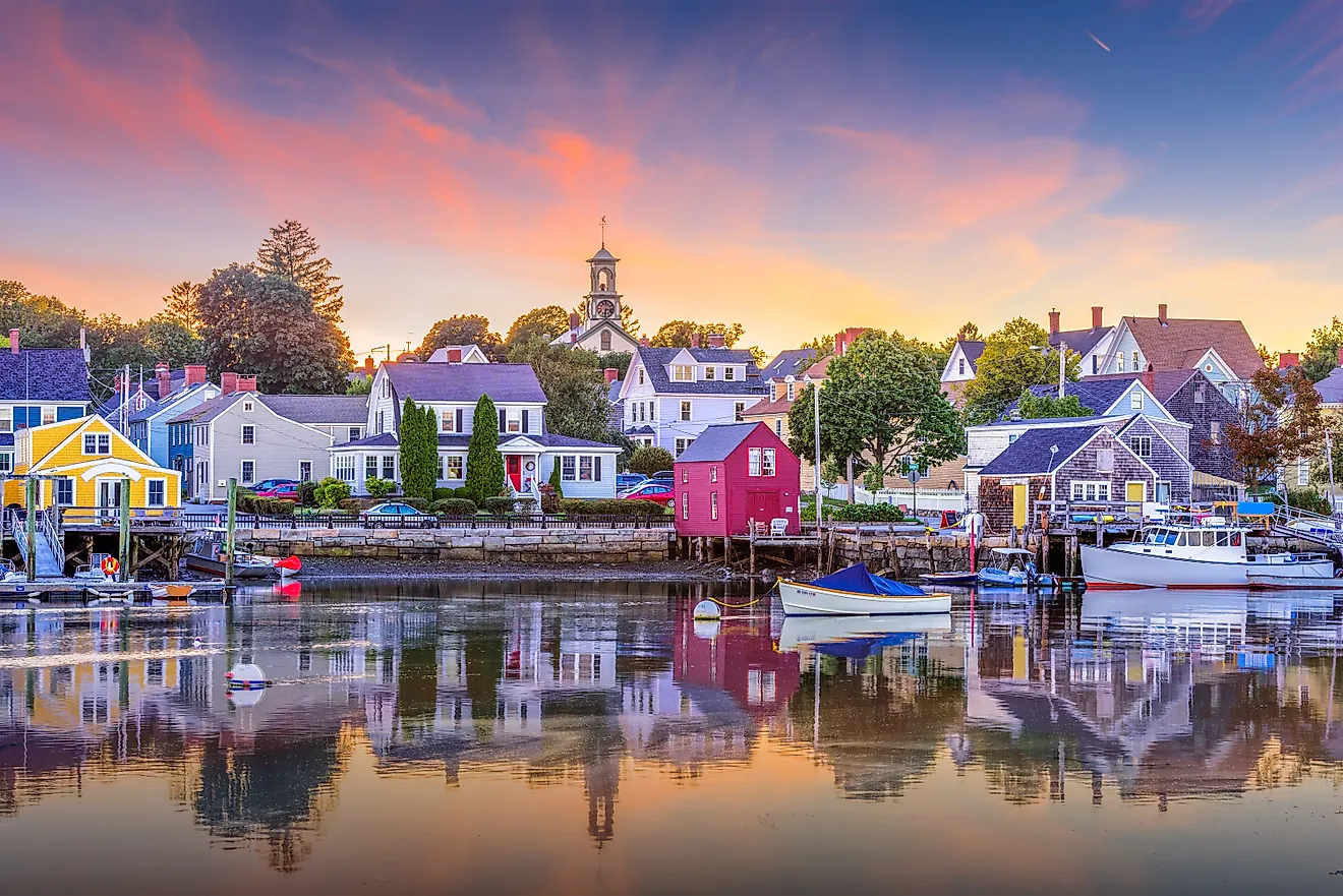
Nantucket County, which is coextensive with Nantucket Island, has paved, town-maintained roads but completely lacks state or federal highway route markers. About 14,800 people live in the Town and County of Nantucket, an isolated, consolidated town-county 30 miles south of Cape Cod that is reachable only by boat or by plane into Nantucket Memorial Airport. That isolation explains the lack of state highways and multi-lane freeways. Nantucket County has never had state highways, numbered routes, or freeways of any kind, and is one of two such counties in Massachusetts.
When the Massachusetts Highway Commission was established in 1893 to build a state road system, it left Nantucket County out. In fact, a ban on automobiles on the island held from 1908 until 1918. Today, all of Nantucket County is designated as a National Historic Landmark District, and no numbered route has ever been laid. Nantucket keeps private vehicles in check, with zero traffic lights and a default speed limit of 25 mph. Vehicles on the island travel on locally maintained, unnumbered secondary roads alongside bike paths, and the Town and County of Nantucket maintains all of them.
Dukes County, Massachusetts

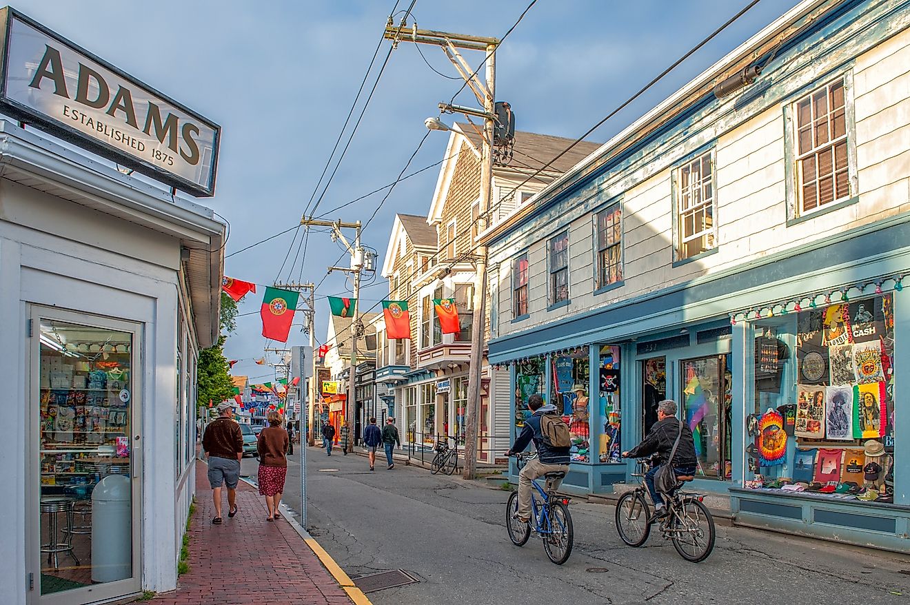
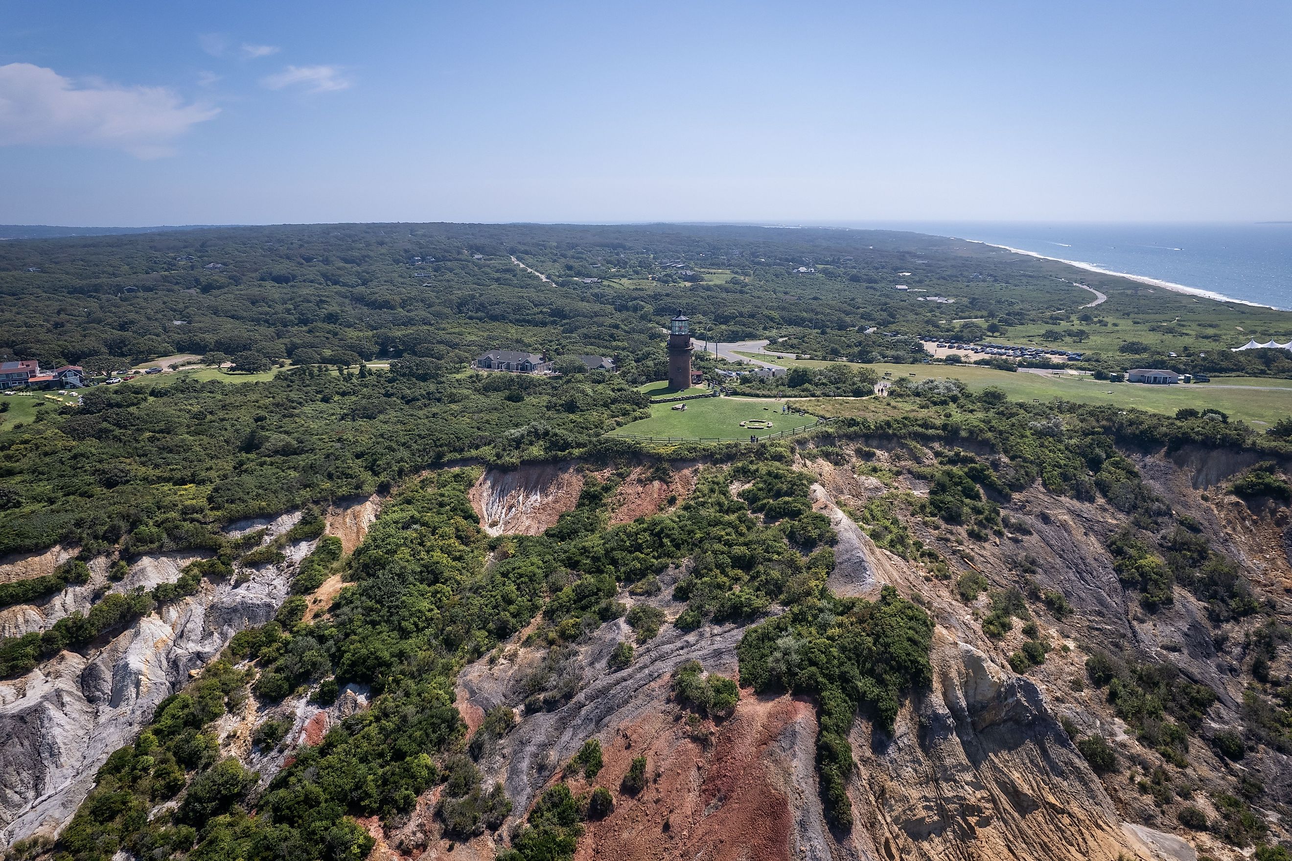
The only other county in Massachusetts without highways, Dukes County encompasses Martha's Vineyard and the Elizabeth Islands. It relies entirely on local town roads rather than numbered state routes. No bridge reaches either Martha's Vineyard or the Elizabeth Islands from the mainland. Residents here have kept modern, high-speed road infrastructure off the islands to preserve their small-town coastal character.
The Massachusetts Highway Commission also left Dukes County out when it began establishing highways in 1893. Because vehicles could not cross the sound without a boat, the state left road building to the county government and towns. The county has therefore never had numbered state roads, federal roads, or a multi-lane freeway. Martha's Vineyard has no traffic lights at all; when officials moved to fix its most dangerous intersection in 2013, they chose a roundabout over a signal. A 45 mph limit applies on the busiest stretches of the island's roughly 177 miles of public paved roads. Drivers here find scenic routes, unpaved lanes, and dedicated bike paths rather than highway. Access to Dukes County is by boat or by airplane into Martha's Vineyard Airport.
Kalawao County, Hawaii

A tiny, isolated peninsula on Molokai, Kalawao County, Hawaii, has a few local access roads for the historic Kalaupapa settlement but absolutely no highways of any kind. Route 470, the Kalae Highway, terminates at Kalaupapa Lookout, which sits at the clifftop edge between Maui County and Kalawao County. No route extends past this point into Kalawao County. The county lies between 1,600-foot sea cliffs and the ocean and has been preserved as a restricted, historic quarantine site.
In 1866, the Kingdom of Hawaii established Kalawao as a colony for patients with Hansen's disease, otherwise known as leprosy. Crews overhauled its infrastructure in the 1930s, and the towns and villages received paved roads and streets that function as internal pathways. Today, the county overlaps with Kalaupapa National Historical Park, and the Hawaii Department of Health administers it in place of a local county government. Non-residents may not enter without written state permission. The smallest county in the US by land area at 12 square miles, Kalawao County is home to fewer than 100 residents, who do not need highways to get around. Flying into Kalaupapa Airport or taking a cargo barge are the easiest ways to reach the county.
San Juan County, Washington

San Juan County, Washington, is a group of islands near the north end of Puget Sound in the Salish Sea, covering a total area of 621 square miles, 447 square miles of which is water. It makes sense, then, that the county has no land-based state highways. It is the only county in the state without a single mile of traditional asphalt state highway. Washington designates the ferry routes serving the islands as part of the state highway system, so the water carries a route number the land never received.
Of San Juan County's more than 400 islands and rocks, only four have ferry service: San Juan, Orcas, Lopez, and Shaw. Twenty of the islands are inhabited, and that is where the county's roughly 18,600 residents live, an estimate for 2025. San Juan Island National Historical Park lies on San Juan Island and is likewise reachable only by ferry. Ferries to the county typically leave from the Anacortes Ferry Terminal, and passenger-only boats also run from downtown Seattle and Port Townsend. Air service to the San Juan Islands is available from Seattle and Anacortes via land-based airlines and seaplanes.
Alaska Adds Dozens More

Those four are the complete list at county level, but Alaska changes the arithmetic entirely. Although they are not counties, remote census areas and boroughs in Alaska count as county-equivalents for the US Census Bureau, and many of them have no state or federal roads at all. Around 82% of Alaskan communities cannot be reached by road.
What replaces the highway network there is a mix rather than a single system. The Alaska Marine Highway System, a state-run ferry service, carries the traffic that a coastal road would elsewhere. Bush planes, snow machines, and river barges handle the rest. The roadless county-equivalents cover the bush regions, southwest Alaska and the Aleutian Islands, the southeastern panhandle, northwestern communities along the Arctic Circle, and interior river villages in central Alaska.
Getting Around Without Highways

Four counties, and in all four the barrier is water. Massachusetts wrote Nantucket and Dukes out of its state road system in 1893 because no vehicle could reach them without a boat. Officials sealed off Kalawao on purpose in 1866, and it remains so. Washington handled San Juan differently, folding the ferries into the state highway system rather than conceding the islands had none.
What the four share is that the absence is not a gap waiting to be filled. Each has had more than a century to build a numbered road and no reason to do it. Here, people move by water and air, and daily life runs smoothly without a single highway.