11 Best Places To Live In Arkansas In 2026
The towns on this list cover the practical range of places to live in Arkansas outside the immediate Little Rock metro. Northwest Arkansas runs on Bentonville's corporate economy (Walmart, Tyson Foods, and J.B. Hunt are all headquartered in the region), with Bella Vista, Siloam Springs, and Mountain Home all anchored to that growth corridor. The Ozark and Ouachita foothills further south orient around rivers, springs, and trail systems instead of job corridors, with Eureka Springs and Hot Springs the clearest examples. Hot Springs is built around a national park whose only operating brewery uses the park's thermal spring water in every batch. The eleven towns below cover that whole range.
Eureka Springs

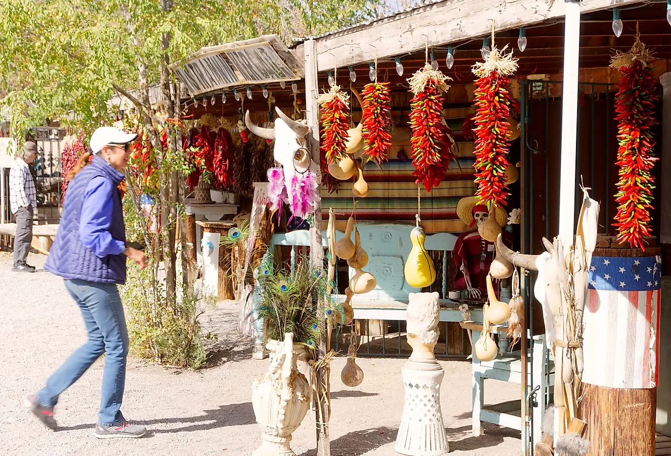
Eureka Springs is a Victorian-era resort town in the Ozarks that grew up around its namesake mineral springs in the 1880s and has retained much of that architecture through the National Register-listed downtown. The town's "Where You're Free to Be" motto reflects its established and visible LGBTQ+ community, year-round festival calendar, and strong working-arts scene. The entire downtown district is built into the side of a hill and has earned the nickname "the Stairstep Town" because of how the streets climb the slope.
The Great Passion Play, an outdoor drama depicting the final week of Jesus' life, has run since 1968 and is one of the most attended outdoor dramas in the United States. The Ozark Folk Festival, which has run since 1948, is among the oldest continuously operating folk festivals in the country and brings music, crafts, and dance programming to town every October. Black Bass Lake and Holiday Island (about five miles north) handle local outdoor access. The local economy runs on tourism, hospitality, and the working arts community.
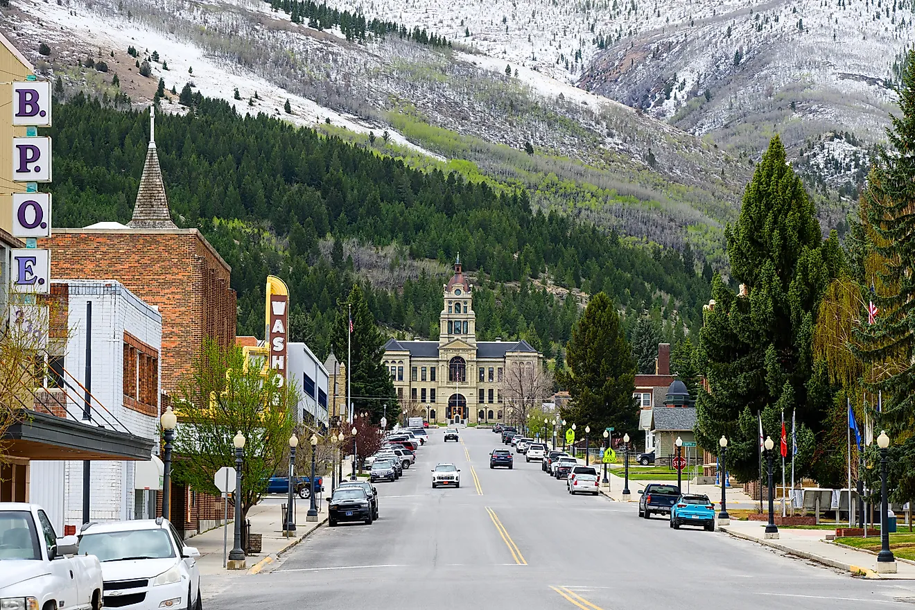
Hot Springs

Hot Springs is built around Hot Springs National Park, the only US national park within a city limits and the only one whose thermal-spring infrastructure was federally protected (originally as Hot Springs Reservation in 1832, four decades before Yellowstone became the first official national park). Superior Bathhouse Brewery, on Bathhouse Row, is the only brewery operating inside a US national park and the only brewery in the world that uses thermal spring water in every batch. Garvan Woodland Gardens, a 210-acre botanical site operated by the University of Arkansas, includes the Anthony Chapel (a glass-and-wood structure designed by Maurice Jennings and David McKee).
Oaklawn Racing Casino Resort, in continuous operation since 1904, runs Thoroughbred racing every winter and spring including the Arkansas Derby every April (one of the country's premier Kentucky Derby prep races). The Gangster Museum of America downtown covers the town's mid-20th-century reputation as a refuge for organised-crime figures including Al Capone and Owney Madden. Little Rock, with its full metropolitan amenities, sits less than an hour east.
Bella Vista

Bella Vista is a planned community in the Ozark foothills of Benton County in the far northwest corner of the state, originally developed as a vacation-home and retirement community in the 1960s and now a city of about 30,000 with the most extensive multi-use trail network in Northwest Arkansas. The Back 40 trail system on the city's east side runs about 40 miles of singletrack mountain biking through dense forest, and the Razorback Greenway connects Bella Vista south through Bentonville, Rogers, Springdale, and Fayetteville for over 36 miles of paved cycling.
Bella Vista is governed by a Property Owners Association (POA) rather than a traditional homeowners' association, with annual dues for property owners that cover access to the city's seven lakes, multiple golf courses, the Branchwood Recreation Center, and other shared amenities. Bentonville (the Walmart headquarters town) is about eight miles south, putting Bella Vista residents within an easy commute to the broader Northwest Arkansas job corridor.
Siloam Springs

Siloam Springs sits on the Illinois River in the far western edge of Benton County, about 30 miles west of Bentonville on the Oklahoma border. The town developed in the 1880s around its mineral springs as a regional health resort and retains a substantial late-19th-century downtown commercial district along Broadway Street. The Illinois River runs through the centre of town and supports the City of Siloam Springs Kayak Park, an engineered whitewater feature added to the river in 2008.
John Brown University, a private Christian liberal arts school founded in 1919, anchors the town's college population and supports a sustained calendar of campus performing-arts and athletic events. Siloam Springs Regional Hospital handles primary local hospital care. The town's location keeps it connected to the Northwest Arkansas labour market while keeping housing prices well below Bentonville and Rogers.
Searcy

Searcy is the county seat of White County in north-central Arkansas, anchored by Harding University, a private Church of Christ-affiliated school founded in 1924 and one of the largest private universities in the state. Unity Health-White County Medical Center handles regional healthcare and is one of the larger employers in the county. Land O'Frost, the sliced-deli-meat company headquartered in Lansing, Illinois, runs one of its major production plants in Searcy.
The Searcy Art Gallery occupies the historic Black House, the 19th-century home of Benjamin Clayton Black on East Race Avenue, and runs rotating local-artist exhibitions year-round. Riverside Park along the Little Red River provides walking and picnic access. Little Rock is about 50 minutes southwest via Highway 67.
Paragould

Paragould is the county seat of Greene County in the northeast corner of Arkansas, with a downtown historic district listed on the National Register of Historic Places. The 1925 Collins Theatre on West Main Street has hosted live performances continuously for a century and remains the town's primary cultural venue, with year-round programming including concerts, plays, and pageants. Greenbrier Companies, a major rail-car manufacturer, runs one of its production facilities in Paragould and is one of the area's largest employers.
Lake Frierson State Park, about 10 miles north of town, covers the 335-acre Lake Frierson with bream, catfish, crappie, and bass fishing along with year-round camping and trail access. Jonesboro, the largest city in northeast Arkansas, sits about 20 minutes south via US Highway 49.
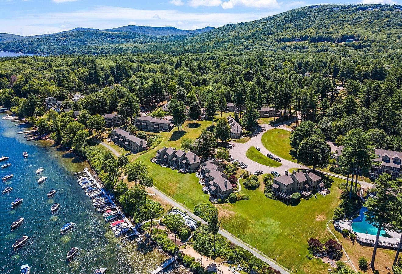
Mountain Home

Mountain Home sits between two of the largest reservoirs in the Ozarks: Bull Shoals Lake to the west (on the White River) and Norfork Lake to the east (on the North Fork River). Both lakes hold trophy-class striped bass, smallmouth bass, and walleye fisheries, and the section of the White River below Bull Shoals Dam is one of the most productive trout fisheries in the country, kept cold year-round by hypolimnetic releases from the dam. The Ozark Folk Center State Park in nearby Mountain View runs the regional traditional-music programming.
Baxter Health, a regional hospital in town, handles full medical services and is one of the area's largest employers. Big Creek Country Club runs the local 18-hole golf course. The town's outdoor-anchored economy and the surrounding lake-and-river infrastructure have made it a long-established retirement destination, with a median age running well above the Arkansas state average.
Bryant

Bryant is one of the fastest-growing suburbs of Little Rock, sitting about 15 miles southwest of downtown along Interstate 30 in Saline County. The town has grown from about 9,300 residents in 2000 to over 25,000 today, driven by a combination of relatively affordable housing, a consistently well-regarded public school district, and easy commuting access to the broader Little Rock job market. The annual Bryant Fall Fest in October brings local food, music, and family activities to downtown.
Mills Park covers the town's main paved walking trail loop, plus tennis courts, basketball courts, a pool, and pavilions. Longhills Golf Course handles the local 18-hole golf option. Little Rock's full healthcare, retail, and entertainment infrastructure sits 15 to 20 minutes east via I-30.
Russellville

Russellville sits along the Arkansas River Valley between the Ozarks and the Ouachitas, halfway between Fort Smith and Little Rock along Interstate 40. Arkansas Tech University, founded in 1909 and now the third-largest university in the state, anchors the town's economy and cultural infrastructure. Lake Dardanelle State Park covers a substantial section of the lakefront within town limits, with a fishing pier, beach, boardwalk, and interpretive centre.
The Center for the Arts handles the town's concert and live-performance programming. The Bona Dea Trails & Sanctuary covers 186 acres of trails, water, and bottomland forest at the eastern edge of town. Petit Jean State Park, Arkansas's first state park (established 1923) and the site of a 95-foot waterfall, sits about 30 minutes southeast.
Cabot

Cabot is one of the fastest-growing cities in Arkansas, sitting about 25 miles northeast of Little Rock in Lonoke County along US Highway 67/167. The town has expanded from roughly 15,000 residents in 2000 to over 26,000 today, driven by spillover from the Little Rock metro and proximity to the Little Rock Air Force Base in Jacksonville. Kerr Station Park anchors the local green-space network with a dog park, playground, walking trails, and a disc golf course.
The Holland Bottoms Wildlife Management Area, just north of town, runs over 4,500 acres of bottomland hardwood habitat that attracts substantial birdwatching activity. Cypress Creek Golf Club handles the local 18-hole course. Little Rock sits about 25 minutes south.
Harrison

Harrison sits in the heart of the Ozarks, about 50 miles south of the Missouri border in Boone County. The town is the closest commercial centre to Buffalo National River, which was designated as America's first National River by Congress in March 1972. The 135-mile-long Buffalo remains one of the few major US rivers without significant dam impoundment, and Harrison serves as the practical base for paddling, fishing, and trail access into its upper reaches.
North Arkansas Regional Medical Center anchors local healthcare. The Boone County Heritage Museum on East Central Avenue covers regional pioneer, railroad, and medical history. Lake Harrison Park on the south side of town runs walking trails around a small lake. The town's location in the Ozark highlands gives it cool summers by Arkansas standards and reliable autumn colour from the surrounding hardwood forests.
Where These Eleven Fit
Arkansas splits into three economic and geographic zones, and the eleven towns above sit across all three. Northwest Arkansas (Bella Vista, Siloam Springs, Bentonville-adjacent towns) runs on the Walmart-Tyson-J.B. Hunt corporate economy and continues to attract migration faster than any other part of the state. The Ozarks and Ouachita foothills (Eureka Springs, Mountain Home, Harrison, Russellville) trade corporate proximity for river, lake, and trail access and tend to attract retirement and remote-work migration rather than corporate-job moves. And the central Arkansas towns within commuting distance of Little Rock (Bryant, Cabot, Searcy, Paragould further northeast, plus Hot Springs to the southwest) combine job-market access with substantially lower housing costs than the Little Rock urban core. Across all three zones, the practical retirement-and-relocation calculus is the same: full hospital access within 30 minutes, walkable downtowns, and housing markets that have not yet been priced beyond what most working budgets can sustain.