Buffalo National River
The Buffalo River is a 246km long river that flows through the forested Ozark Mountains in the northwestern part of the US State of Arkansas. The upper section of the river flows through the Upper Buffalo Wilderness to the boundaries of the Ozark National Forest where it is designated as a National Wild and Scenic River. The lower section of the river flows within the boundaries of an area that is managed by the National Park Service where it is designated as the Buffalo National River. Established on March 1, 1972, by an Act of Congress, the Buffalo National River was designated as the country’s first National River. It is also one of the last free-flowing rivers in the United States.
Geography Of The Buffalo River

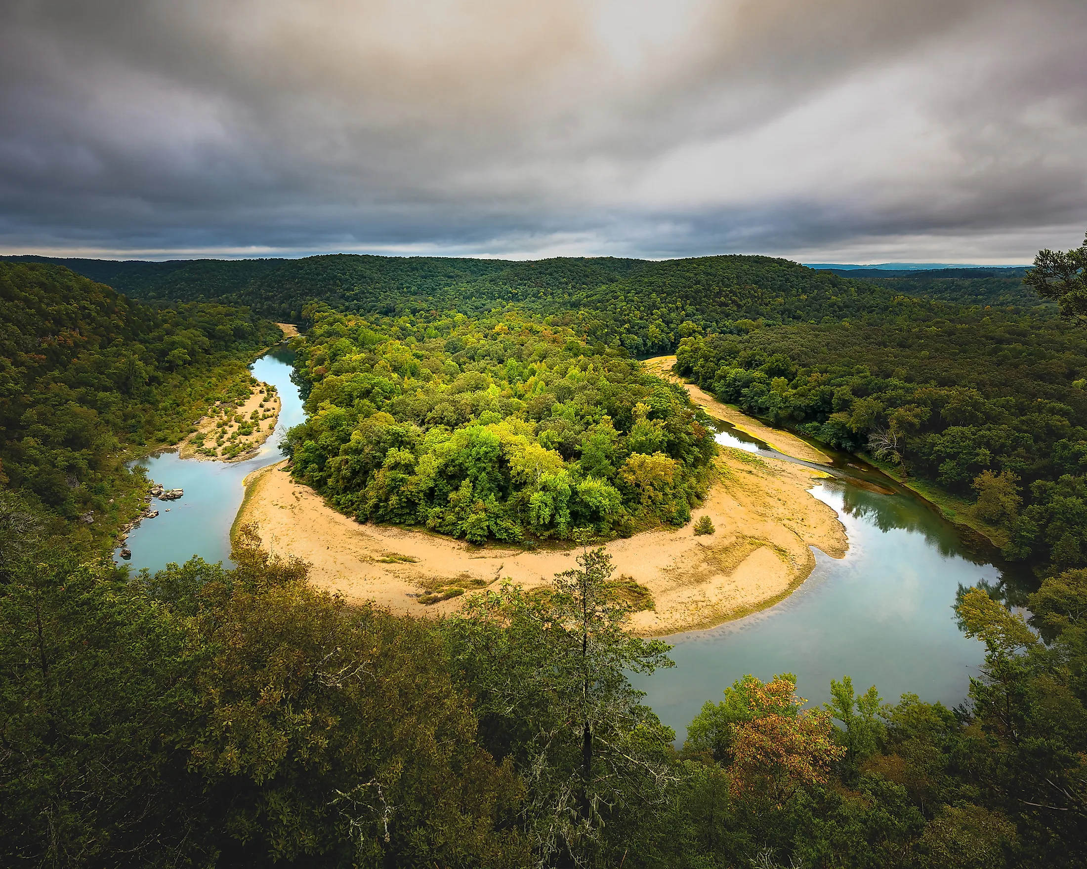
The 246km long Buffalo River originates as the Main Prong of the Big Buffalo Creek, high in the Boston Mountains of the Ozarks in northwest Arkansas. The upper section of the river that flows through the Ozark National Forest has been designated as a National Wild and Scenic River and is managed by the US Forest Service. The lower 217km of the river flows within the boundaries of an area where it is designated as the Buffalo National River and is managed by the National Park Service.

The Buffalo National River initially flows northwards through the unincorporated community of Boxley to the unincorporated community of Ponca, from where it starts its eastward journey. The upper section of the river contains many challenging whitewater rapids and features karst topography including more than 150m tall sandstone and limestone bluffs, numerous caves, rock formations, multicolored cliffs, springs, sinkholes, and waterfalls. Located within the Ponca Wilderness Area of the Buffalo National River is the 63.7m tall Hemmed-In-Hollow Falls, which is considered to be the tallest waterfall that is located between the Appalachians and the Rockies. Close to the historic community of Erbie, the Buffalo National River flows out onto the Springfield Plateau and then crosses a part of the Salem Plateau before draining into the White River on the Marion-Baxter County line.

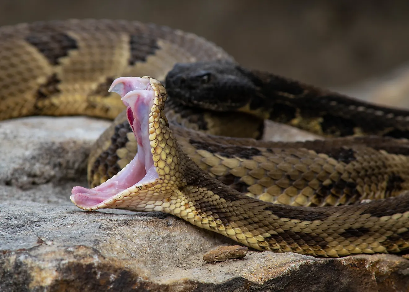
Wildlife In Buffalo River
The clean waters of the Buffalo National River support more than 300 species of fish, freshwater mussels, aquatic plants, and insects. Some of the notable fishes that are found in the river include smallmouth bass, bream, catfish, perch, etc. The National Park area is home to the only elk herd in the state. The Northern long-eared bat and Indiana bat are found in the karst caves surrounding the river.
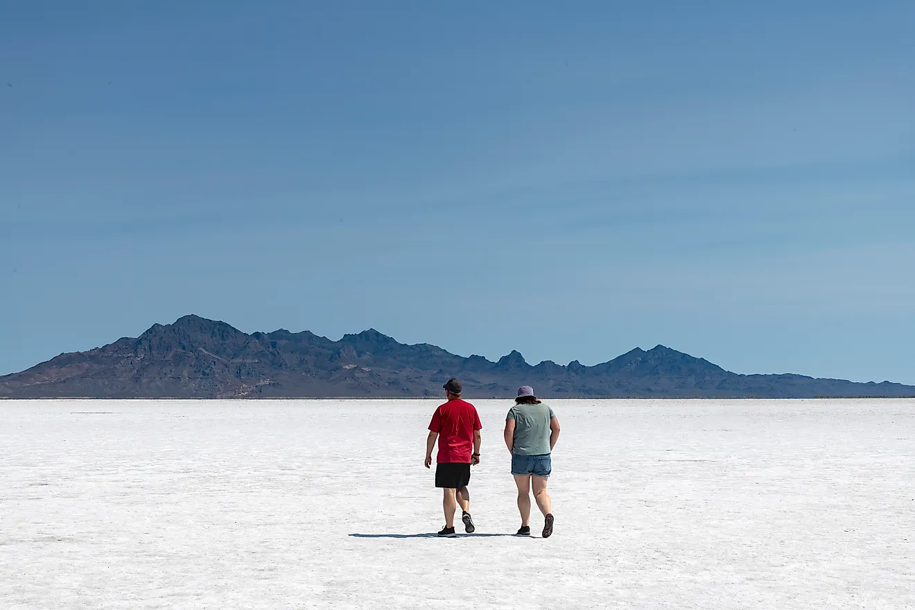
Recreational Activities

The National River also offers several recreational opportunities like canoeing, camping, kayaking, fishing, and hiking. The National River designation protects the Buffalo National River from any industrial uses and other artificial obstructions that disrupt the natural flow of the river and also threaten the natural habitat of the flora and fauna that live in or close to the river. There are three designated wilderness areas within the boundaries of the Buffalo National River. These areas include the Upper Buffalo Wilderness Area, the Ponca Wilderness Area, and the Lower Buffalo Wilderness Area. The headquarters of the National Park Service for the Buffalo National Park is located in the city of Harrison in Boone County of the US State of Arkansas.