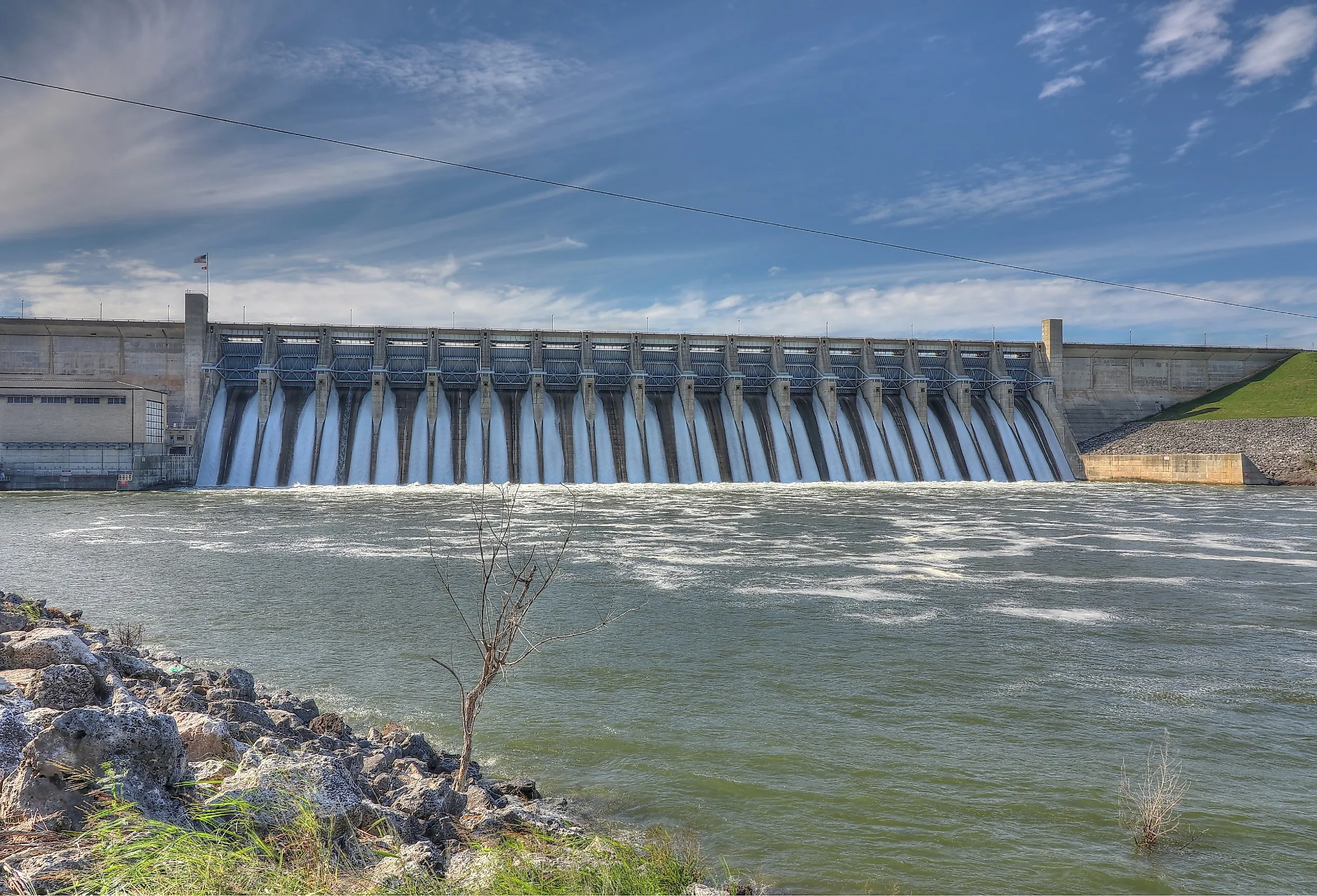
The US Dams Rated Highest Hazard By Federal Inspectors
A 2025 study identified six dams in Texas, Kansas, and California with the highest modeled overtopping probabilities among 33 US dams examined. All six are large and classified as high-hazard potential, meaning failure or misoperation would probably cause loss of life. Their nearest downstream communities have about 274,000 residents in total, although the study did not model structural failure, breach inundation, or the number of people directly at risk. Each dam is more than 50 years old, underscoring the importance of continued assessment and maintenance.
Canyon Dam (New Braunfels, Texas)

Construction started on the Canyon Dam in 1958 and was completed in 1964. This large rolled-earthfill embankment dams the Guadalupe River, forming Canyon Lake. Canyon Dam had a critical modeled overtopping probability during much of the study period, although researchers did not find a statistically significant increasing trend. Sustained overtopping could erode the earthfill embankment and potentially cause a breach, while New Braunfels lies about 19 miles downstream. According to the US Army Corps of Engineers, Canyon Dam is 224 feet high and 6,830 feet long, with a crest width of 20 feet.
Whitney Dam (Waco, Texas)

The Whitney Dam is a concrete and rolled earthfill dam completed in 1951, damming the Brazos River to form Lake Whitney. The 2025 study estimated Whitney Dam's probability of overtopping from historical water levels and dam height. Waco, with about 140,000 residents in the study's dataset, lies roughly 31 miles downstream, but breach modeling would be required to determine the actual inundation zone and population at risk. The dam is well over three miles long, rises 166 feet, and has a 34-foot-wide crest along its embankment.
Somerville Dam (Somerville, Texas)

Somerville Dam is an aging earthfill structure that controls a drainage area of about 1,006 square miles, while the town of Somerville lies less than two kilometers downstream. Completed in 1967, this earthfill embankment dams Yegua Creek, forming Lake Somerville. The size of this dam is enormous. The main embankment, spillway, and dike extend almost five miles in total. The structure rises to a maximum height of 80 feet and contains more than 7 million cubic yards of rolled earthfill, but a breach would primarily release reservoir water rather than the entire embankment.
Milford Dam (Junction City, Kansas)

Milford Dam was one of two dams in the study with a statistically significant increase in modeled overtopping probability. Completed in 1967 after five years of construction, the Milford Dam is a structure of rolled earth and rock fill embankment with an uncontrolled spillway. It dams the Republican River, forming Milford Lake, the largest lake in Kansas. Junction City lies about five miles downstream, but the study did not model whether a hypothetical breach would reach Manhattan, Topeka, or other communities farther along the Kansas River. Milford Dam is 6,300 feet long, 147 feet high, and has a 30-foot-wide crest. The total volume of materials used to build the dam exceeds 15,000,000 cubic yards of rolled earth and rock fill.
Kanopolis Dam (Marquette, Kansas)

As the oldest dam on this list, Kanopolis showed a statistically significant increase in modeled overtopping probability. Marquette, with a population of about 600, lies roughly 15 miles downstream, but the study did not model the extent or timing of flooding from a hypothetical breach. Completed in 1948, the dam contains more than 15,000,000 cubic yards of compacted rolled earthfill and has protective riprap along its upstream face. It stretches 2.9 miles across the Smoky Hill River Valley, reaches a maximum height of 131 feet, and has a 36-foot-wide crest.
Whiskeytown Dam (Anderson, California)

The study identified Anderson, with about 11,400 residents and located roughly 22 miles downstream, as the nearest downstream population center; it did not list Redding as a threatened community. Although intense atmospheric rivers affect Northern California, the study did not attribute Whiskeytown's modeled overtopping probability to those storms or estimate potential casualties. A breach could release water from Whiskeytown Lake into Clear Creek and the Sacramento River system. With a structural height of 282 feet from the bedrock to the crest, the Whiskeytown Dam is also the tallest dam on this list. The main dam has a 2,250-foot crest, while the total crest length, including two dikes, is 4,000 feet.
The inclusion of these six dams in the 2025 study highlights the need for continued risk assessment, maintenance, and emergency planning in downstream communities. All six were constructed between 1948 and 1967, but age alone does not establish an unsafe condition, and the study did not assess their structural integrity or whether their original design standards are inadequate. The analysis used historical water levels and dam height to model overtopping probability, while factors such as spillway capacity, sedimentation, and current dam condition remained outside its scope. The nearby downstream population centers total about 274,000 residents, but detailed breach and inundation modeling would be needed to determine how many people face direct exposure.