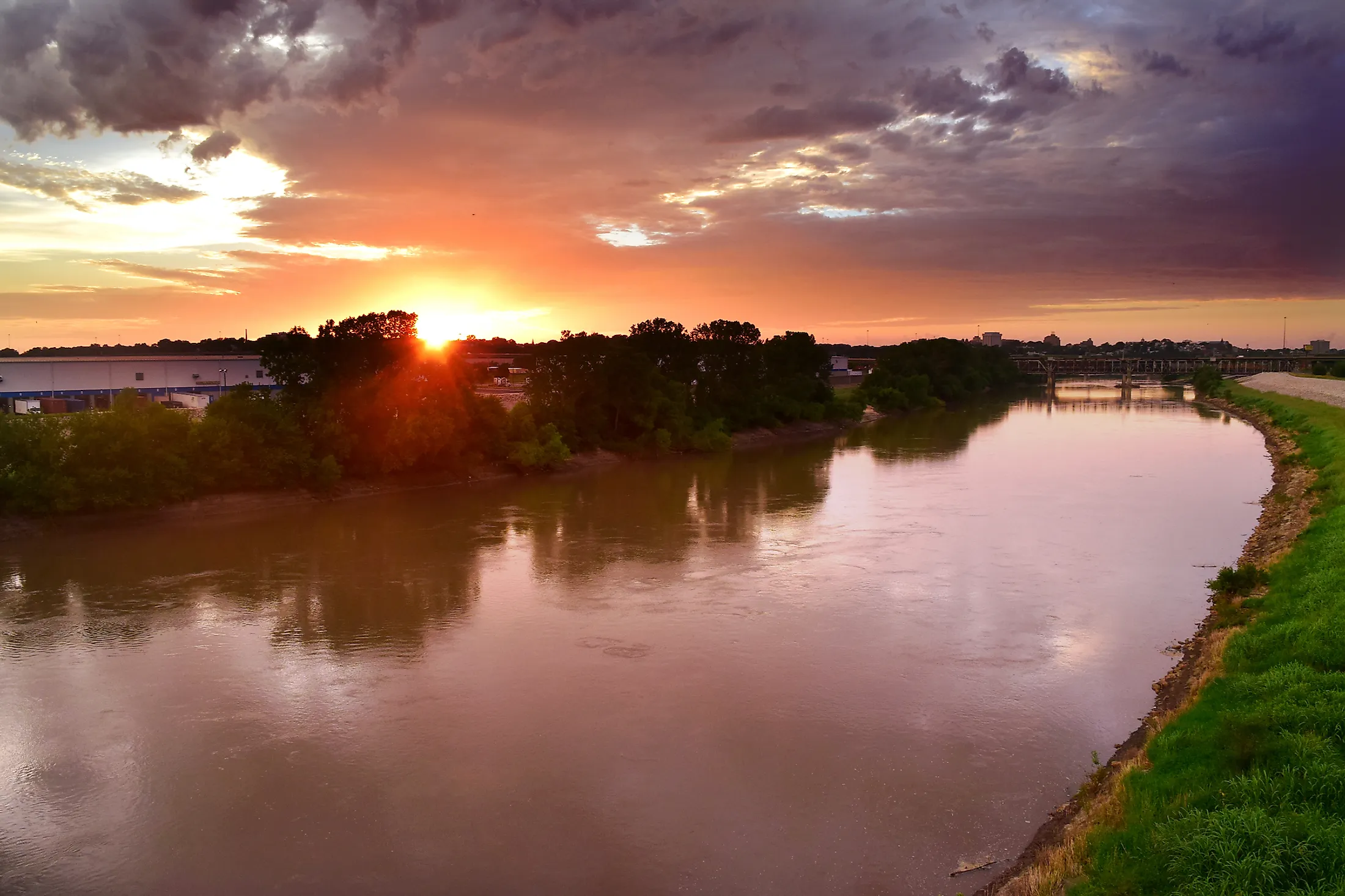
Kansas River
The Kansas River is a river in the Midwestern United States flowing in northeastern Kansas. The 238 kilometer-long river is Kansas’ most popular river for fishing, rowing, and kayaking owing to its free-flowing nature. It is one of the longest tributaries of the Missouri River, which in turn drains into the Mississippi River. The river is named after the Kaw People, who lived on its bank. The Kansas River drains approximately 155,690 square kilometers and is a source of drinking water to about 600,000 people living within the drainage basin. Unlike most Midwestern rivers, Kansas is not heavily dammed and has diversion weirs as the only obstructions.
Major Features

The Kansas River is one of the longest rivers flowing entirely in Kansas State, flowing for about 275 kilometers from its headwaters in Junction City to its confluence with the Missouri River near Kansas City. It discharges an average of 205 cubic meters of water per second into the Missouri River. The river drains about 155,700 square kilometers of land, including 89,160 square kilometers of northern Kansas, 43,810 square kilometers of southern Nebraska, and 22,730 square kilometers of eastern Colorado. Although the river flows entirely in the Mid Continental Region, much of its drainage basin is within the Great Plains. The river valley has an average width of 4.2 kilometers, with the point between Rossville and Wamego as the widest point at 6.4 kilometers. Although the river valley is 185 kilometers long, the Kansas River meanders across the floodplain, thus the surplus length.
Course Of The Kansas River
The Kansas River begins at the point of confluence of the Smoky Hill rivers and the Republican River. The two rivers rise in the High Plains in northeastern Colorado and flow eastwards, then into Kansas and merge at the Junction City. The Smoky Hill River receives the Saline River in Saline County and Solomon River in Dickson County before joining the Republican River. The point at which the two river confluence is at an elevation of 320 meters above sea level. The Kansas Rivers flows eastwards from the Junction City to Kansas City and joins the Missouri River at Kaw Point, dropping about 98 meters to about 219 meters at the point of joining the Missouri River. It receives the Big Blue River near Manhattan and the Delaware River in Perry. The Wakarusa River joins Kansas at Eudora in Douglas County.
Brief History

The Kansas River first appeared on “Carte de la Louisiane,” a map drawn by Guillaume de L'Isle in 1718. The map, which showed the Kansas draining into the Missouri River at the 39th parallel, was translated to English in 1721 by John Senex. Western Engineer, steered by Stephen H Long, became the first steamboat to grace the river in August 1819. However, the steamboats began regularly operating on the Kansas River in 1854, connecting Kansas City to Topeka and Lawrence, and sometimes Fort Riley, the Junction City, and Manhattan. The traffic continued through to the 1860s, with Alexander Major as the last steamer to travel the river. The Kansas River was declared no navigable by the state legislature in February 1864, preferring transportation by railroad. This law was repealed in 1913, making the Kansas a navigable stream again.


