The 6 Most Dangerous Bodies Of Water In Ohio
Whether you're thinking of the vast expanse of Lake Erie or the many rivers and reservoirs found across the state, Ohio has no shortage of ideal bodies of water for recreation. Sometimes when you're having fun, safety precautions can lapse, and accidents, incidents, and potentially worse situations occur. It is always best to understand where you are going and the potential dangers that might exist there, even if they seem minor. Approaching these waterways with basic awareness can help keep you and your loved ones safe, coming back to make new memories year after year.
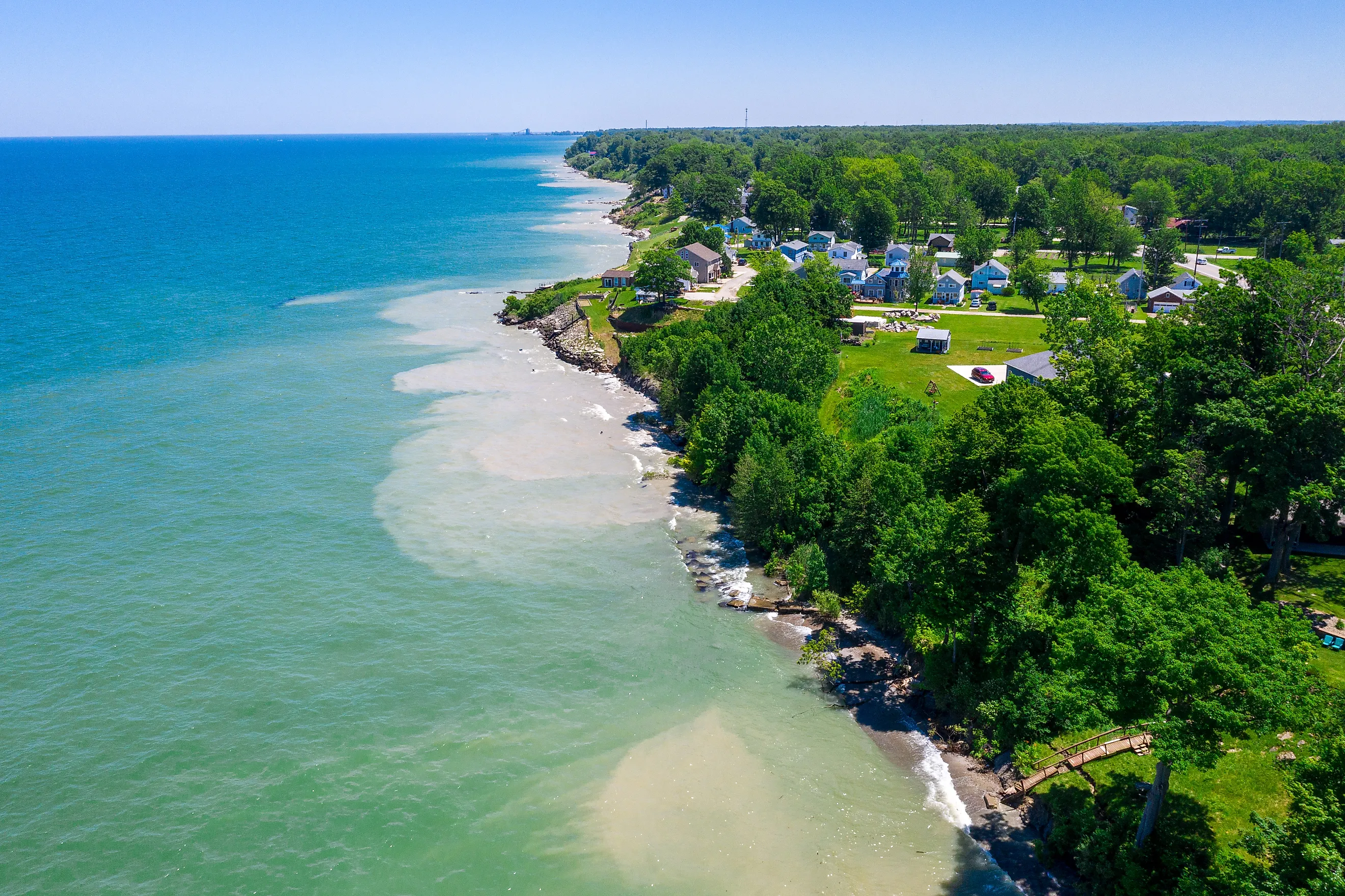
Lake Erie

Lake Erie is the largest body of water regularly used by Ohio residents and visitors. While it borders several states, it includes roughly 241 miles of shoreline in Ohio. Many smaller towns along the coast rely heavily on this lake for tourism and water-based recreation. Communities such as Toledo and Conneaut are closely tied to its presence, supporting boating, fishing, and shoreline activities throughout much of the year.
Because it is the shallowest of the Great Lakes, Lake Erie reacts quickly to changing weather conditions. With an average depth of about 62 feet, wind and storms can rapidly alter surface conditions, producing waves that exceed 10 feet. During winter, ice can form and break apart with little warning, making frozen sections unreliable. Visitors should closely monitor weather forecasts and remain alert to how quickly conditions can change on the water.
The Ohio River

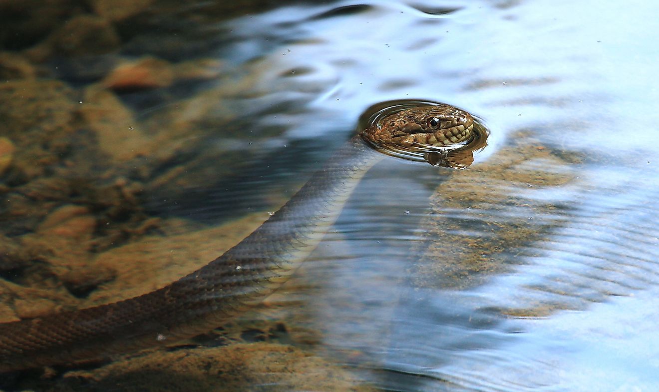
The Cincinnati stretch of the Ohio River looks broad, peaceful, and slow-moving on a typical day, but it packs a ton of action into a congested area. It’s easily one of the busiest spots along the river, hugging the southern edge of Ohio on its way to merge with the Mississippi and on to the Gulf of Mexico. Thousands of people come here for the shopping, parks, restaurants, recreation, and entertainment, and it’s also a major shipping artery for goods in and out of the region.
But don’t let the calm water fool you. The currents here can surprise even locals, and tourists get caught off guard all the time. Honestly, the undertow is no joke. The water can look perfectly still, then suddenly pick up speed near bridges or where barges plow through. That’s when you get those dangerous whirls that even strong swimmers can’t handle. Note as well that there are no official public swimming areas in this part of the river. With all the boat traffic, industrial pollutants, and agricultural run-off, as well as unpreditable currents, it's just not something you want to risk.
Alum Creek Lake

Alum Creek Lake serves as a major recreation area for central Ohio. Covering approximately 3,387 acres during normal summer levels, it attracts visitors for swimming, boating, and fishing. Nearby businesses provide rentals, campgrounds, and equipment that support regular events and tournaments held on the lake.
Its size can also create challenges. Strong winds may push small boats away from shore, creating difficult conditions for less experienced operators. Water levels shift due to flood control management, exposing submerged hazards such as stumps and rocks as levels drop. These hazards pose risks to boat hulls, propellers, and divers who are unaware of underwater conditions. Crowding during peak seasons adds another concern, as boats, personal watercraft, and swimmers share limited space.
Grand Lake St. Marys

Grand Lake St. Marys is the largest inland lake in Ohio by surface area, spanning roughly 13,000 to 13,500 acres. It is really pretty shallow, averaging between 5 and 7 feet deep. Constructed in the 1800s to supply water to the Miami and Erie Canal, it later became an important recreational resource for surrounding communities. Today, it supports fishing, small boating, and seasonal residences along its shoreline.
Blooms of harmful algae continue to be a recurring concern. Agricultural runoff contributes nutrients that promote algal growth, and the lake’s shallow depth allows sediment to mix easily with warm water. Algal toxins can irritate skin, cause illness if ingested, and reduce oxygen levels for aquatic life. When blooms are present, visitors should follow posted advisories and avoid contact with discolored water.
Mosquito Creek Lake

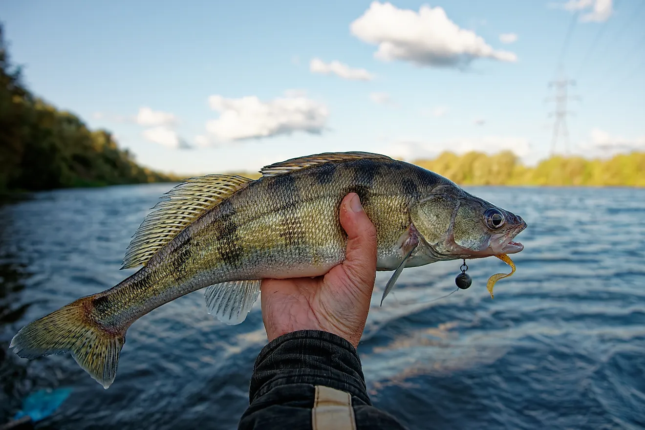
Mosquito Creek Lake covers about 7,850 acres in Trumbull County and is well known among anglers for walleye and muskellunge fishing. Created after a dam was completed in 1944, the lake provides flood control, water supply, and a state park offering boating, camping, and winter activities. Located near Ohio’s snow belt, the lake is subject to sudden weather changes. Squalls and seasonal storms can produce hazardous waves, strong winds, reduced visibility, and lightning. Floating and submerged wood near shallow areas presents additional risks, particularly close to shore. These underwater obstacles can damage boats and create entrapment hazards for anyone who ends up in the water.
The Cuyahoga River

The Cuyahoga River flows into Lake Erie at Cleveland and extends roughly 85 miles from its headwaters near Burton, Ohio. Its broader course spans close to 100 miles. Once heavily polluted by industrial runoff, sections of the river became infamous after catching fire, prompting environmental reform efforts. Cleanup initiatives have since improved water quality, allowing recreational fishing, kayaking, and park use along the river corridor.
Some risks remain despite restoration. Pollutants persist in certain sediment areas, which is why anglers often consult fish consumption advisories. The river also contains dams and former dam sites that create complex currents. Hydraulic features below these structures can trap or capsize kayaks, posing a lot of danger. Paddlers should approach such areas carefully and follow marked portage routes.
Staying Aware on Ohio’s Waterways

Ohio’s lakes and rivers play a central role in recreation across the state, but they require thoughtful use. Sudden storms on Lake Erie, algae issues at Grand Lake St. Marys, strong currents on the Ohio River, and shifting weather at Mosquito Creek Lake all present real concerns. Many incidents occur due to inattention or unfamiliarity rather than unavoidable conditions. Understanding local risks and adjusting behavior accordingly allows visitors to enjoy these waterways while reducing the chance of injury or emergency.