The Mississippi River
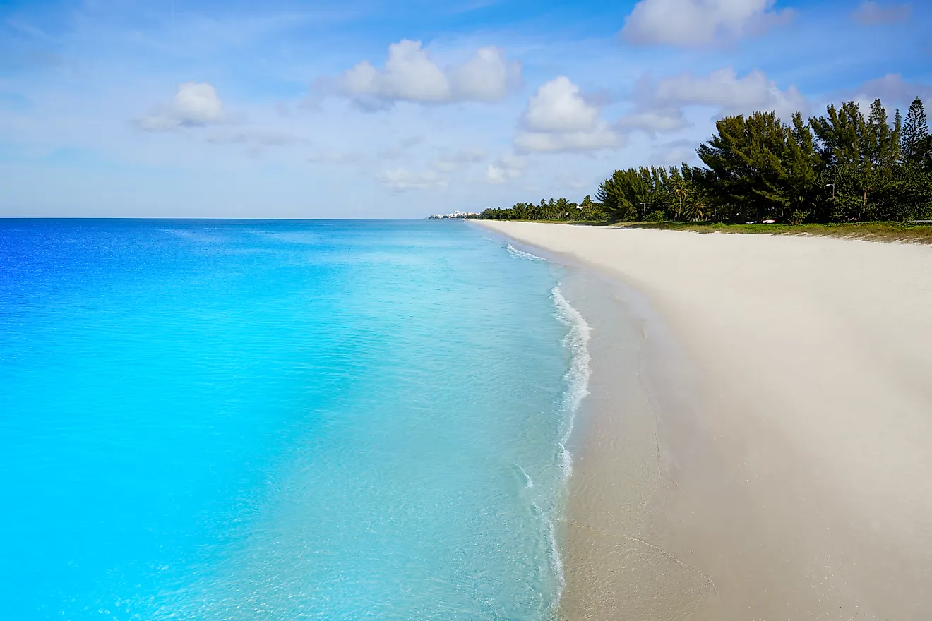
The Mississippi River is the second longest river in North America measuring a total length of 2320 miles from its traditional source at Lake Itasca. It flows south at a speed of 1.2 miles per hour to the Mississippi River Delta in the Gulf of Mexico and forms the second largest drainage system in North America after the Hudson Bay. When measured from its longest stream source at Bowers Spring, Montana, the river measures 3710 miles making the fourth longest river in the world. At its source, the river is 3 feet deep and the depth increases as the river progresses through its course. The deepest part of the river is in New Orleans where it reaches a depth of 200 feet. The width starts at between 20 to 30 feet wide which is the narrowest stretch of its entire length. The widest part of the Mississippi river occurs at Lake Winnibigoshish near Bena, MN, where its width is 11 miles.

Contents:
Course Of The River
The geology and physical geography of the Mississippi drainage comprises of the Great Plains and Interior Lowlands of North America. It is divided into three main distinct sections comprising of the upper, middle, and lower Mississippi.
Upper Mississippi: this region comprises of the headwaters to its confluence with the Missouri River at St. Louis. In this section, the river is clear with the fresh stream winding through low countryside characterized with lakes and marshes.
Middle Mississippi: Flowing down from the upper Mississippi is the middle part of the river that extends to its confluence with the Ohio river at Cairo Illinois. It receives waters from tributaries in Wisconsin, Iowa, and Illinois. Its relatively free flowing and often referred to as the Father of Waters. The turbulent cloudy and muddy waters of the Missouri during floods add high amounts of silt to the river.

Lower Mississippi: In the lower section of the river from the Ohio confluence, the river increases in volume and depth. It becomes slow and turns brown as it quietly descends to the Gulf of Mexico. It forms a meandering alluvial river winding extravagantly along its floodplains, leaving behind cutoffs, oxbow lakes, and swampy blackwaters.
History
It is estimated that over 50,000 years ago, the Central part of the US was covered by an inland sea that was drained by the Mississippi river and its tributaries down to the Gulf of Mexico. The river has changed its course at its mouth through a process referred to as avulsion (delta switching). The process occurs due to large deposits of silt and sediment that cause the raising of its level and causing it to eventually find a steeper, more direct route to the Gulf of Mexico.

In the 18th century, the Mississippi River was the primary western border of the United States. However, as the country expanded westwards, the river became a main border point of the eastern southern, western, and Mideastern United States. With the subdivision of the country the river borders or passes through 10 states namely Mississippi, Missouri, Louisiana, Tennessee, Wisconsin, Minnesota, Arkansas, Kentucky, Illinois, and Iowa.
Plant And Animal Life

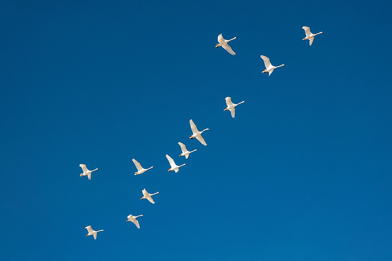
The Mississippi River basin is home to different ecosystems that span from its headwaters down to the open waters of the Gulf of Mexico. The major habitats here include wet forests dominated by cypress trees, brackish and freshwater marsh, sandy beaches, and salt marsh. Informally, it is referred to as the mother fauna of North America. Although the natural vegetation in the Mississippi river is a product of the climate and soil earther than the influence of the river, the swamps and backwaters have played a fundamental role. From the wild marshes of Minnesota to the coastal wetlands of the delta are thriving plant and animal associations. The natural vegetation including sedges, pondweeds, and millet support the regular colonization by migratory birds. The path used by these birds as they move up and down the river has been referred to as the Mississippi Flyway, stretching from northern Mexico to the Gulf of Mexico. More than 325 bird species including the black ducks, Canada geese, snow geese, widgeon, coots, and teals make the roundtrip along the Flyway to their wintering grounds.

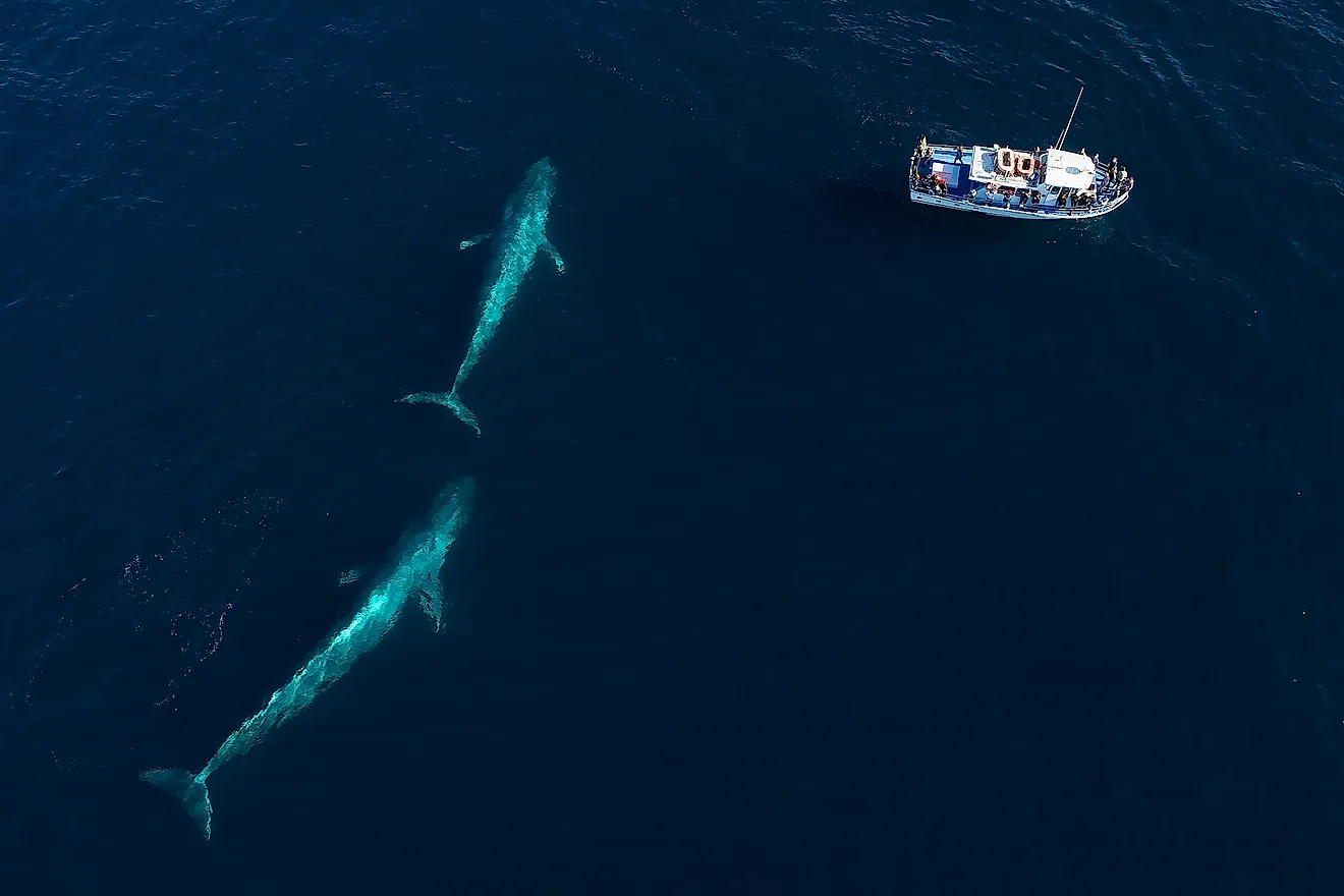
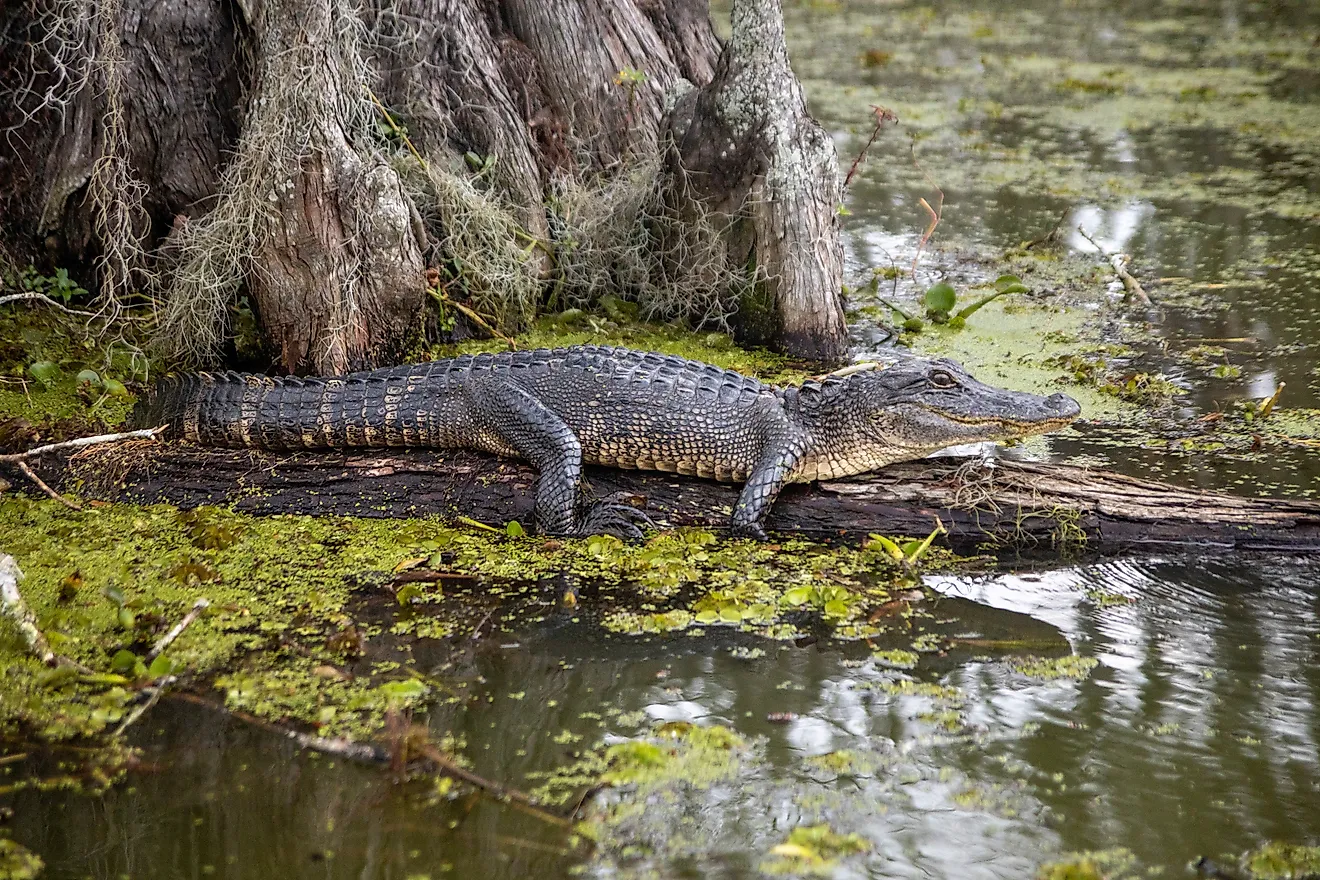
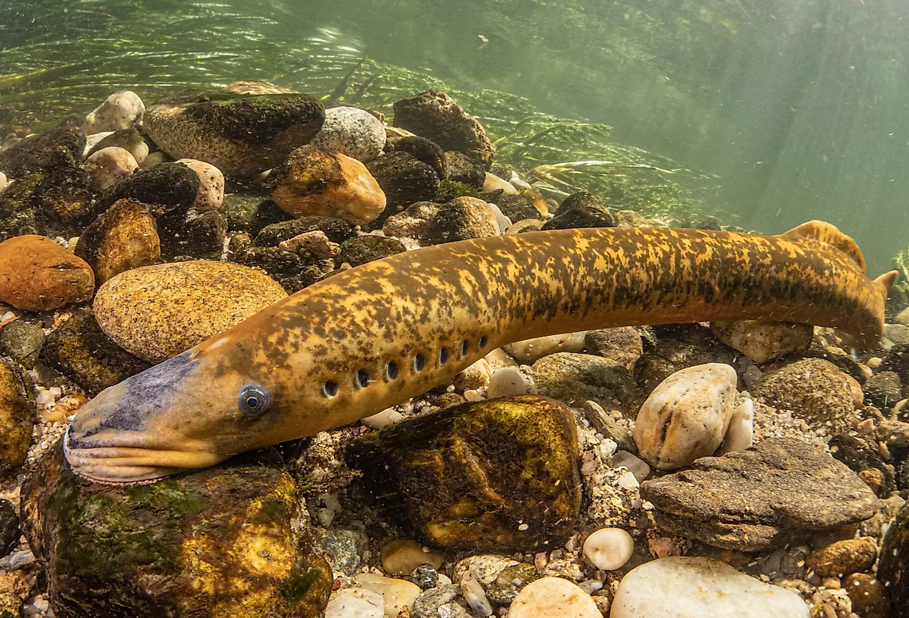
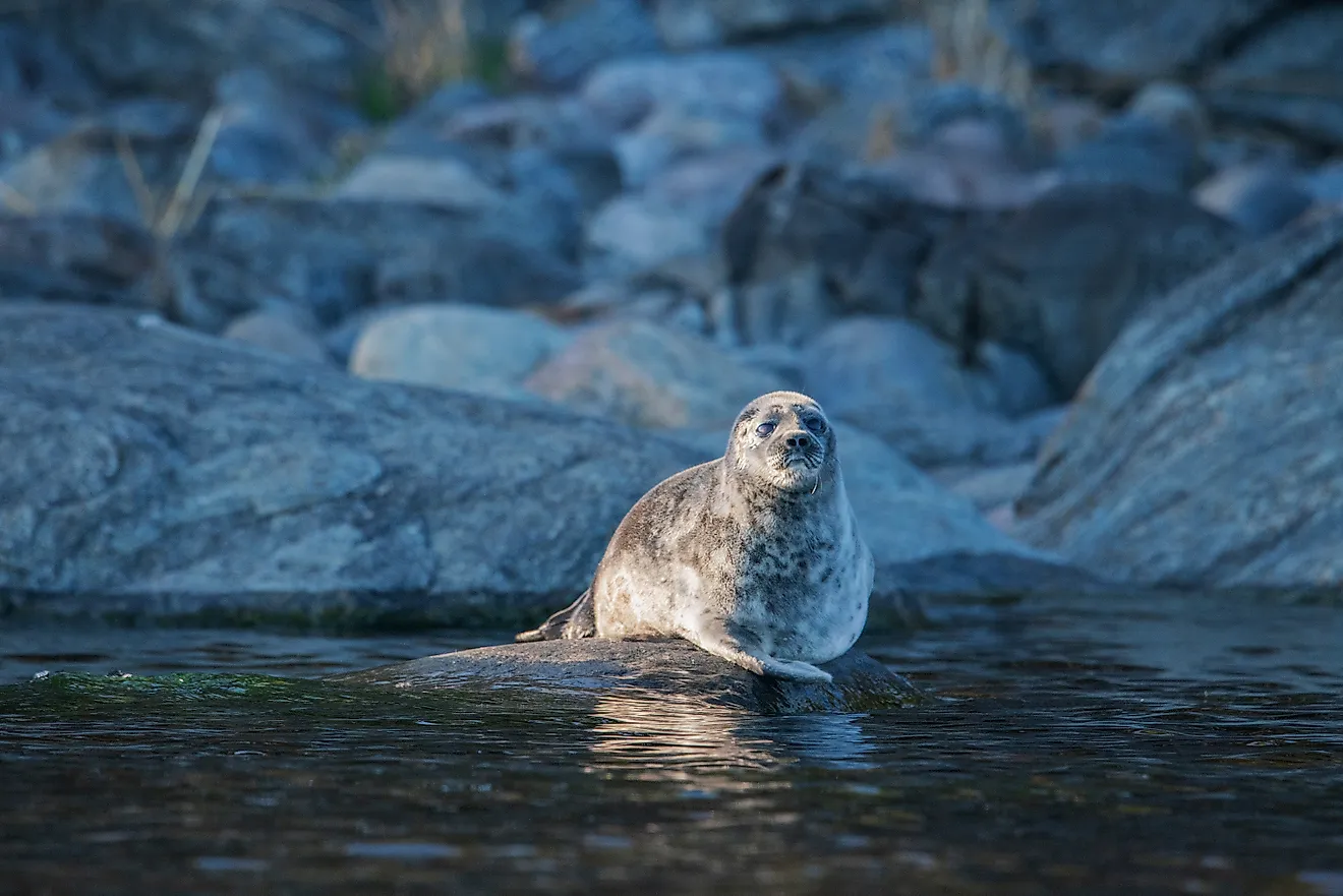
Over 375 fish species are known to inhabit the Mississippi river from the basin far extending to the northern Hemisphere within the tropic subtropical regions. Walleyes and suckers that thrive in the upper river provide the basis of sports fishing in Minnesota and Wisconsin. Alligators are rate and only found in the most isolated backwaters. New fish species including the Asian camp have been introduced in the river and continuously compete with indigenous species.
Significant Developments

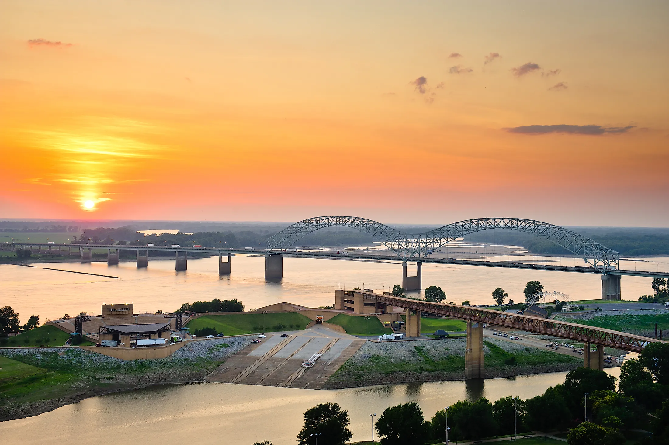
As the primary river flowing in the highly industrialized regions of the continent, the Mississippi River has become one of the busiest commercial waterways in the world neighboring. The richer has culturally contributed to the history of the United States. Numerous bridges have been constructed across the course of the Mississippi River connecting different states across the continent, A series of locks and dams have been constructed in the upper part of the river mostly constructed in the 1930s to support the 9-foot-deep channel for commercial barge traffic.
The first steam boat appeared on the river in 1811 but was accompanied by a series of catastrophes that occurred during the time including the Madrid earthquake that led to the flooding and sudden relocation of sections of the main channel. The widest navigable section of the river’s shipping channel is Lake Lepin which is 2 miles wide. As one of the greatest commercial waterways in America, the river supports large vessels that go up to the Great Lakes and St. Lawrence Seaway.
Threats

Human interruption along the Mississippi river have disrupted the natural balance of the marshlands in the delta. Prior to infrastructural developments, lost wetlands were replenished by the sediments and nutrients carried by the river to create new wetlands. The sediments are now drained down the river channel into the Gulf of Mexico hence disrupting the natural cycle that restored them. A variety of pollutants from municipal, industrial, and agricultural sources have been identified in the waters and sediments of the river. Organic compounds and heavy metals are also present, although in low concentrations in the waters. In the outcome of Hurricane Katrina, it became notable of the importance of a maintaining a healthy wetland between New Orleans and Gulf, which is believed would have helped to slow down the storm.