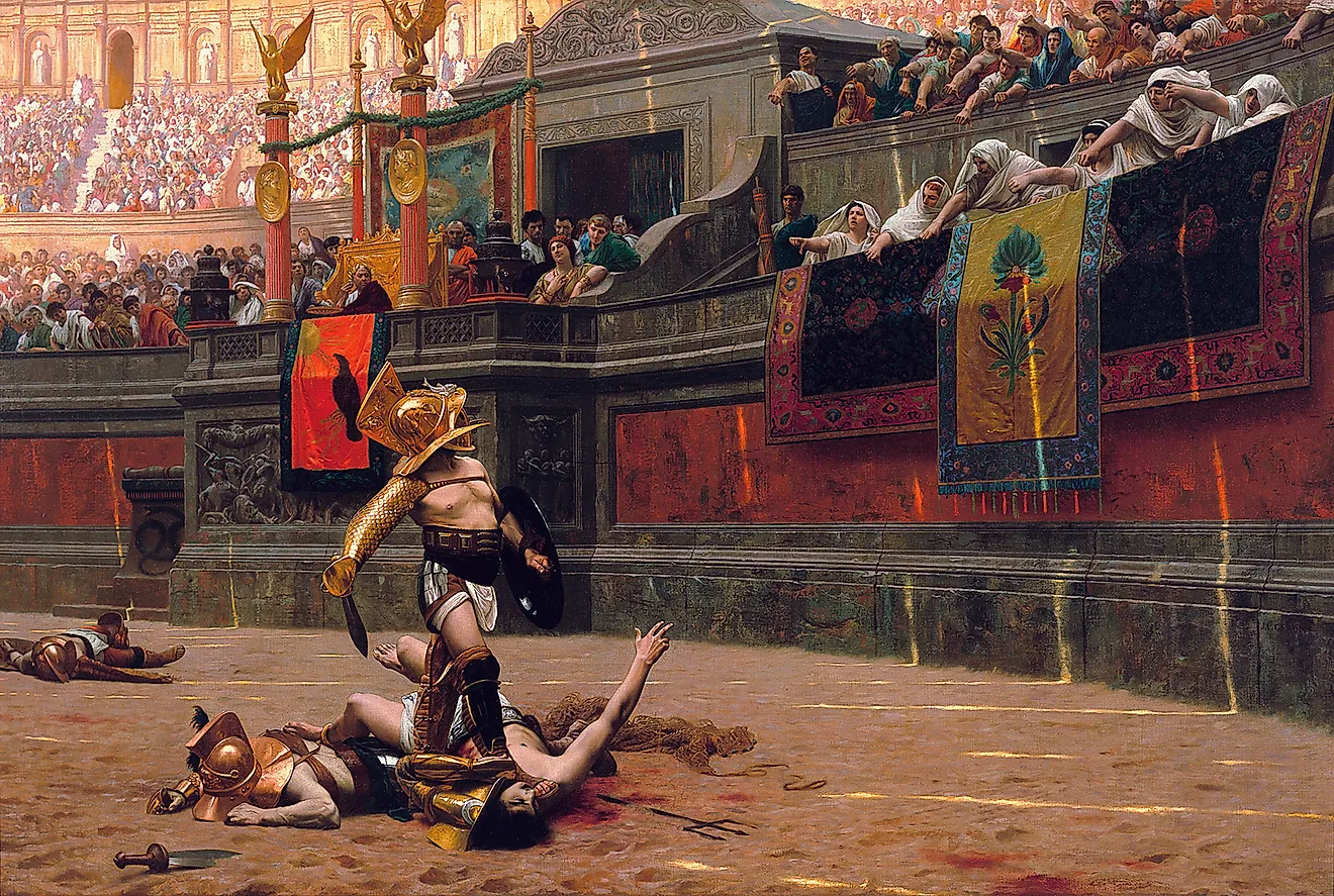
How Ancient Romans Traveled Across the Empire
The Romans are famous for their roads and were also key innovators in engineering and transportation. The road system had to serve an empire of considerable size. At its peak under Emperor Trajan in 117 CE, the Roman Empire covered around 1.9 million square miles with a foothold on three continents. Its reach extended across the Middle East, North Africa, Britain, and central Europe to the shores of the Black Sea. The population of the Roman Empire at its height was around 70 to 75 million people, roughly a quarter of the world total at the time.

The Romans designed the first large-scale integrated road network in Europe. Often regarded as among history's most influential road builders, they produced a system that remained in use for more than 2,000 years, with many original routes still in service today. Throughout the empire, roads were built to facilitate the movement of soldiers and supplies while symbolically tying the empire's far reaches back to Rome itself. With a durable road network, Rome could maintain its territory through horse-drawn transportation. Maritime routes carried the larger cargo.
Types Of Transportation

Roman transportation systems developed out of necessity and through significant innovation. With an empire centered on the Mediterranean Sea, new modes of transportation were needed to maintain and administer the territory. Basic transportation at that time was the horse-drawn cart, and Roman engineers improved it with larger and more flexible vehicles adapted for extended distances. The road network was continuously upgraded and expanded, enabling Romans to travel throughout the empire with relative ease. On the water, Roman shipwrights extended existing Hellenistic and Phoenician ship designs to handle heavier loads and longer voyages, including coastal routes along the Atlantic seaboard of Hispania, Gaul, and Britannia.
Land Transportation

Key land transportation methods included the raeda, a heavy four-wheeled carriage pulled by horses and used for passengers or luggage. The cisium was a two-wheeled open carriage pulled by horses or mules. The carpentum was a covered two-wheeled carriage often used by women of high status, and the essedum was a lighter two-wheeled cart originally adopted from Celtic vehicle designs. A state-run courier and transportation service called the cursus publicus, established by Augustus around 20 BCE, operated through relay stations along major roads. Mutationes served as horse-change stations roughly every 6 to 10 miles, and mansiones provided overnight accommodation every 20 to 25 miles. The system kept government messages and officials moving across the empire at a sustained pace of about 50 miles per day.
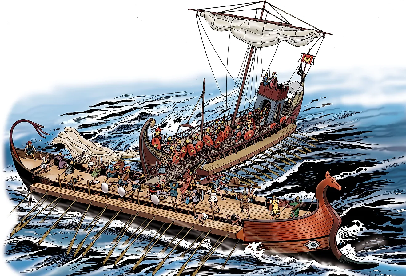
Maritime And River Transportation

Long-distance and heavy cargo moved by water. With the Mediterranean at the center of the empire and coastal access to the Atlantic and Black Seas at the extremities, water transportation was faster and more efficient for the heaviest cargo such as grain and marble. Cargo ships (naves onerariae) carried bulk goods including wine, oil, and Egyptian grain. The largest cargo vessels, the Alexandrian grain ships that supplied Rome, could carry up to 1,000 tons of grain across the Mediterranean. Actuariae were merchant galleys equipped with both sails and oars for speed when winds were light. With the large land areas inside the empire, the major European rivers also served as transportation routes. Specialized riverboats were used on the Rhine, Danube, and Tiber to bring goods well inland.
The Roman Road System

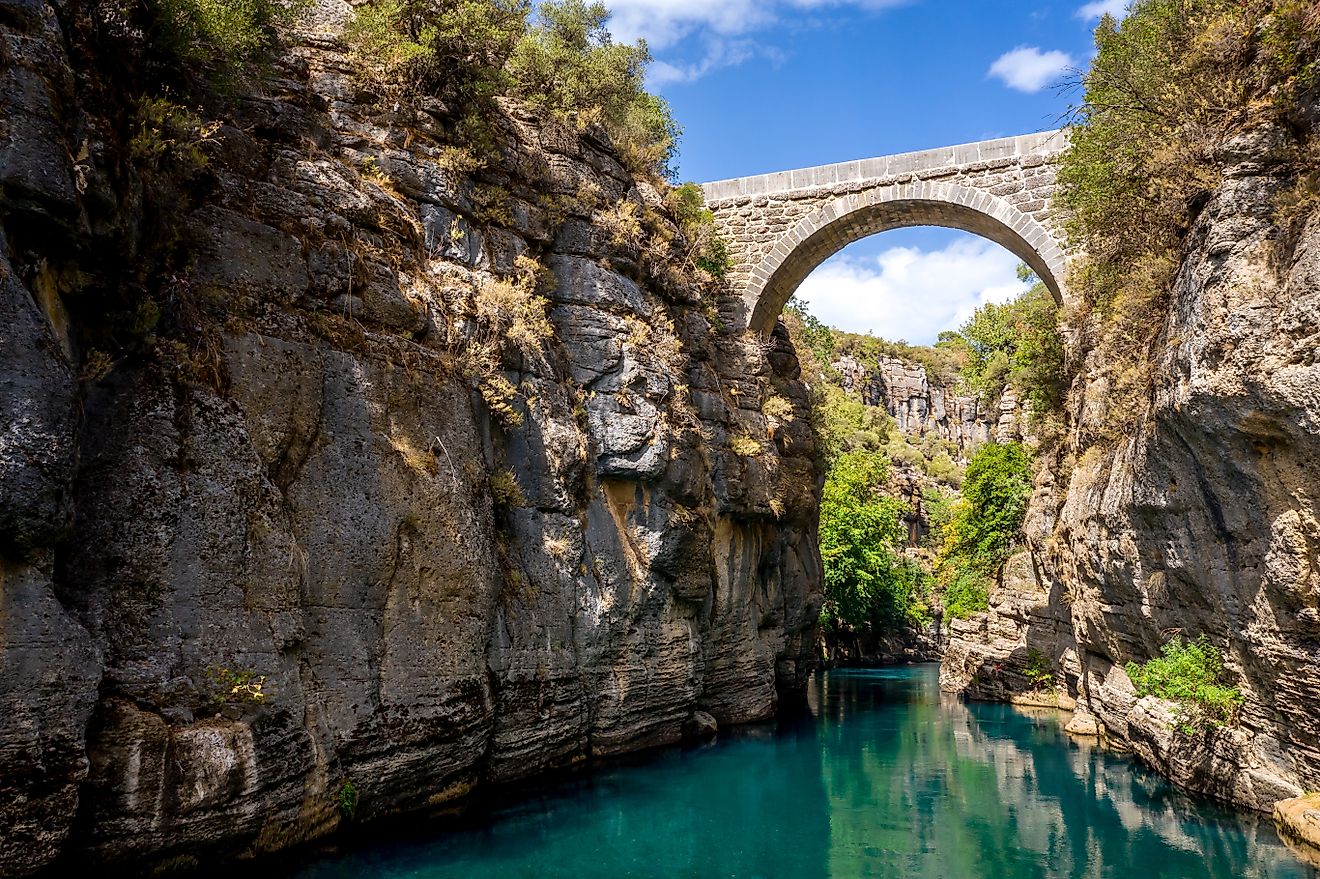
Construction of the roads that would come to be known as Roman roads began in the Roman Republic around 312 BCE. Known in Latin as viae Romanae (singular via Romana), the term translates as "Roman way." While the initial physical infrastructure was established during the Republic, the network was greatly expanded during the Empire. Different types of roads developed over time, including small local roads in and around towns plus highways stretching long distances to connect cities. The roads were carefully surveyed, cutting through hills, alongside rivers, and over bridges. Roman engineering was sufficient to support roads across wetlands and marshes using piled or rafted foundations. At its peak, the Roman road system covered about 250,000 miles total, of which about 50,000 miles were paved main highways. The initial roadwork was built to move legions quickly and soon became a key part of commerce, trade, communication, and economic control throughout the Empire.
The first major road was the Via Appia, or Appian Way. Built to connect Rome to Capua in 312 BCE under the censor Appius Claudius Caecus, it carried legions during the Second Samnite War. The road permitted troops to cover up to 20 miles per day, unprecedented for its time. With the transition to an empire, Rome expanded the system, with roads radiating out of central Rome and major routes leading to other cities.
Construction Techniques
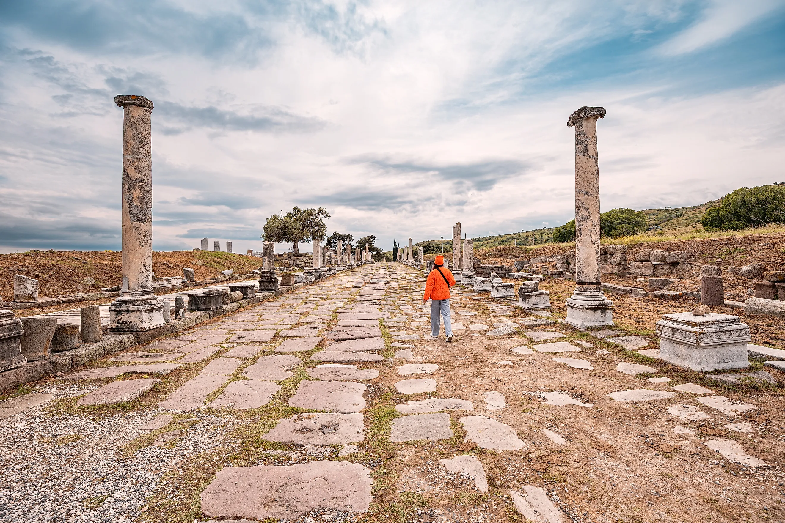
Known for their straight and direct passageways, the Romans used a surveying tool called a groma. The roads were built on foundations of Roman concrete containing volcanic ash with multiple gravel layers above. For major roads and highways, volcanic rock or limestone paving stones were used as the final surface. The roads were cambered, meaning the surface had a slight curve to allow drainage. Drainage ditches were dug alongside the roads, and in some locations sidewalks were laid.
To mark distances, milestones (singular miliarium, plural miliaria) were installed every Roman mile (about 1,480 meters). Thousands of these markers were placed throughout the system, recording the distances between cities. In this way, hundreds of towns and cities were connected and ultimately tied back to Rome from a single starting point: the Milliarium Aureum, or Golden Milestone, that Augustus erected in the Roman Forum in 20 BCE. A postal system was established alongside the roads, enabling direct and rapid communication throughout the Empire. To this day, many European roads follow the lines of Roman routes. Older surviving sections are either protected archaeological sites or repurposed as hiking paths. On modern roads, the original paving stones have long been replaced or covered with asphalt.
Roman Roads Today

The Via Appia, the most famous Roman road, still exists in parts near contemporary Rome in close to its original state. Built starting in 118 BCE, the Via Domitia connected Italy to Hispania by traversing southern Gaul (modern France), and portions of the road are still visible today. In what is now Spain, the Via Augusta connected the Pyrenees to Cádiz and was the longest Roman road on the Iberian Peninsula at about 1,500 kilometers. Some sections of the road are used as local roads while others are preserved close to their original state. The Via Claudia Augusta, a mountain route across Italy, Austria, and Germany completed in 47 CE under Emperor Claudius, was a critical trade route across the Alps. Today, many portions are visible and are maintained as part of a long-distance cycling route.
Many of the roads remain visible today because of the engineering skills and advances developed by the Romans. The durability of the layered materials, and in particular the use of drainage, ensured long life for the roads. Many of them lasted well beyond the fall of Rome itself. Because of the surveying techniques used, many Roman roads remained in service for centuries, in part because the Romans established direct and efficient routes.
Innovations Of The Roman Empire

With large-scale infrastructure projects, Rome was able to link a complex multi-continental empire. With its roads and maritime routes, the power of the Empire was maintained, while commerce and trade expanded to unify every province no matter how distant. An infrastructure for travelers was established, with maintained rest stops on major routes where couriers could exchange tired horses. Roadside amenities, inns, and stables stood along the highways. The system permitted safe travel and a regulated flow of people and goods between cities.
In addition to the engineering feats of the road system itself, the Romans developed several advances in vehicle engineering. An early suspension system was created for carts and carriages using leather straps that absorbed road shocks and improved comfort over long distances.
Rome created systems of traffic management and logistics for the movement of goods. Traffic laws were established in Rome itself. The Lex Iulia Municipalis, passed by Julius Caesar in 45 BCE, restricted the use of wheeled vehicles in the city center during the first ten hours of daylight, allowing better access for deliveries and reducing traffic congestion in the urban core. The Romans also developed advanced port construction, building large-scale ports such as Portus near the mouth of the Tiber, with docks, warehouses, and specialized equipment for moving cargo to and from ships.