Maps of Ontario

Ontario, Canada's most populous province, encompasses an area of 415,598 square miles and boasts a mix of landforms and bodies of water. To the west, it borders the province of Manitoba, while to the east, it meets the province of Quebec. To the north, Ontario's coastline extends along the shores of Hudson Bay and James Bay, which are part of the Arctic Ocean. The Canadian Shield dominates its northern and central regions, while the southern boundary of the province lies adjacent to the United States, specifically the states of Minnesota, Michigan, Ohio, Pennsylvania, and New York. This southern border is defined by several Great Lakes: Lake Superior, Lake Huron, Lake Erie, and Lake Ontario.
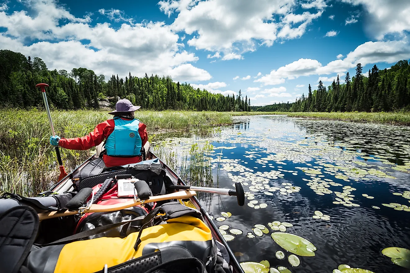
The Canadian Shield, a vast and ancient geological formation, covers approximately two-thirds of Ontario. This region has rugged terrain, including dense forests, thousands of lakes, and numerous rivers. Ontario's highest peak, Ishpatina Ridge, rises to 2,274 feet above sea level within this region. This area also houses the Hudson Bay Lowlands, a vast wetland near the Hudson Bay and James Bay shores.
In contrast to the Canadian Shield, the Great Lakes Lowlands region stretches along the shores of the Great Lakes. The region's fertile soil supports extensive agriculture, and the lakes provide a rich source of freshwater. Niagara Falls, an iconic landmark, straddles the border between Ontario and the United States, creating a majestic spectacle as the waters of the Niagara River cascade into Lake Ontario.
The St. Lawrence Lowlands region, situated in the southeastern part of the province, encompasses the area along the St. Lawrence River. This region boasts a moderate climate and fertile soil, making it suitable for agricultural activities and urban development. The St. Lawrence River, which connects the Great Lakes to the Atlantic Ocean, is an essential navigational route, facilitating trade and transportation.
Lake Nipissing and Lake Simcoe, two large inland lakes, contribute to the province's abundant water resources. Lake Nipissing, located in northeastern Ontario, is the source of the French River, which flows into Georgian Bay, part of Lake Huron. Lake Simcoe, situated in the south-central part of the province, connects to Lake Ontario via the Trent-Severn Waterway, a system of canals and locks.
Provinces Map

Ontario is administratively divided into single-tier municipalities, upper-tier municipalities (which includes counties and regional municipalities), and districts. Currently, Ontario contains 9 single-tier municipalities, 22 counties, 8 regional municipalities, and 10 districts.
According to the Municipal Act, 2001 there are also 414 local municipalities in Ontario, which includes 214 lower-tier municipalities and 173 single-tier municipalities. Of the 173 single-tier municipalities there are 32 cities, 28 towns, 5 villages, 23 municipalities, and 85 townships. Of the 214 lower-tier municipalities there are 19 cities, 61 towns, 6 villages, 41 municipalities, and 114 townships.
With a total area of 1,076,395 sq. km, Ontario is the 4th most extensive and the most populous Canadian province. Situated on the northwestern shore of Lake Ontario is Toronto – the provincial capital, the largest and the most populous city of Ontario. Toronto serves as a major international hub for culture, finance, and business. Located in the eastern part of southern Ontario, on the southern bank of the Ottawa River is Ottawa – the National Capital. It is also the 2nd largest city in Ontario.
Where is Ontario?
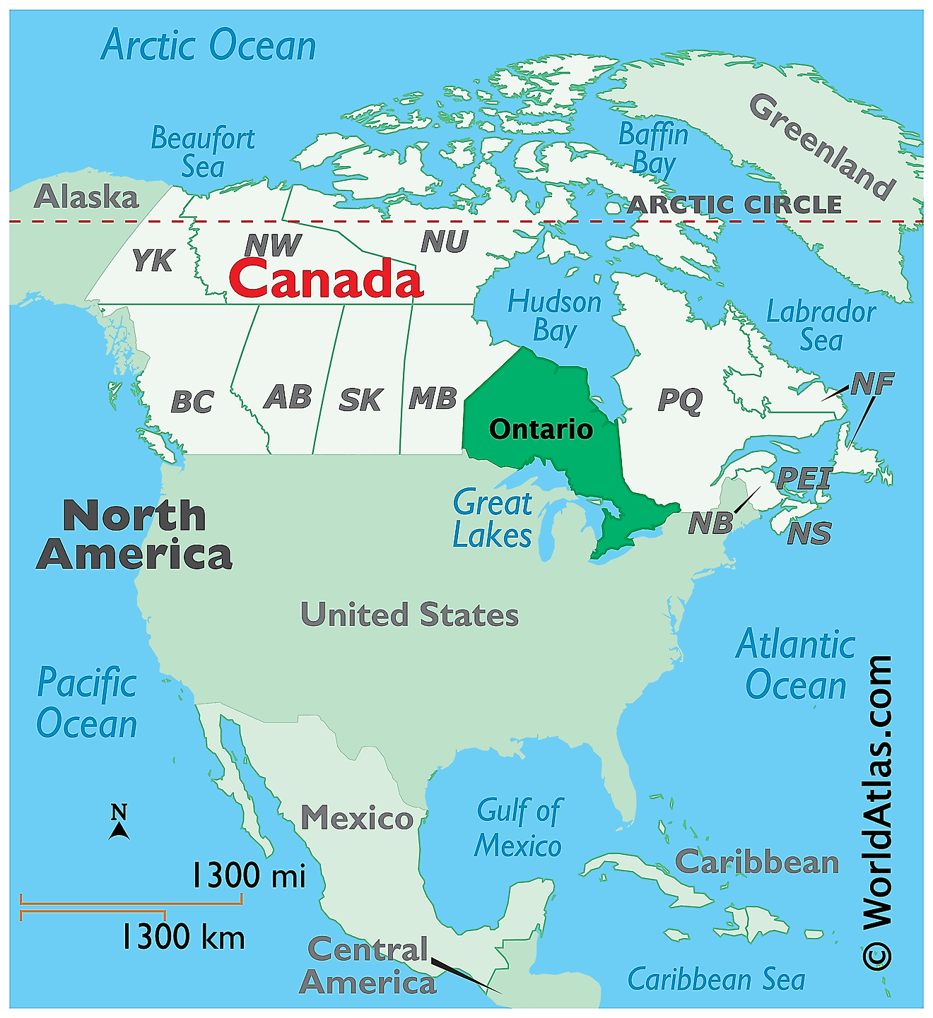
The Province of Ontario is located in the east-central part of Canada, in the continent of North America. It is geographically positioned in the Northern and Western hemispheres of the Earth. Ontario is bordered by the Canadian provinces of Manitoba in the West and Quebec in the east and northeast; by the US States of Minnesota, Michigan, Wisconsin, New York, Ohio, Pennsylvania, and the four Great Lakes (Lake Superior, Lake Huron, Lake Ontario, and Lake Erie) in the south; and by the James Bay and the Hudson Bay in the north.
Regional Maps: Map of North America
Outline Map of Ontario
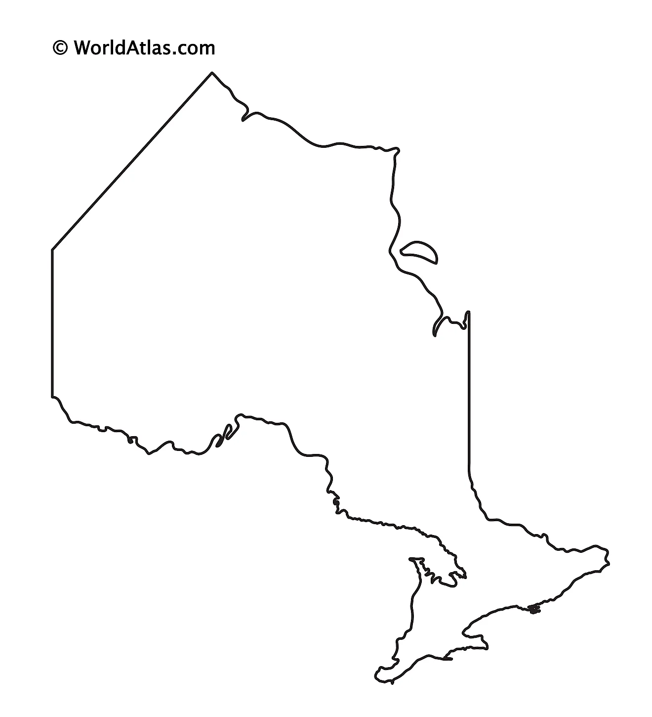
The above blank map represents the Province of Ontario, located in the east-central part of Canada. The above map can be downloaded, printed, and used for geography education purposes like map-pointing and coloring activities.
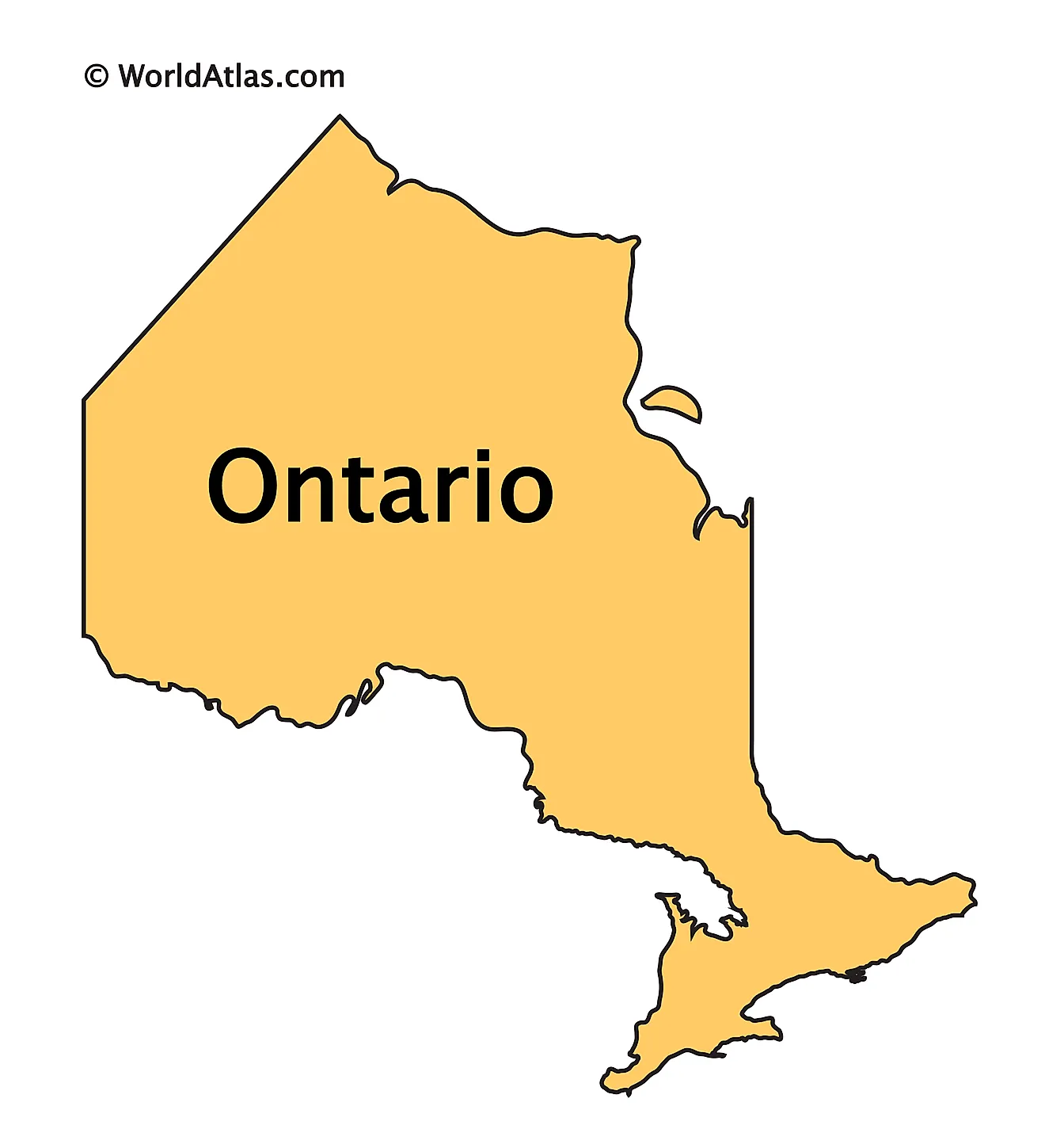
The above outline map represents the Province of Ontario, located in the east-central part of Canada.
Key Facts
| Legal Name | Province of Ontario |
|---|---|
| ISO 3166 Code | CA-onz |
| Capital City | Toronto |
This page was last updated on March 27, 2023
