Maps of France

Geography of Metropolitan France
Metropolitan France, often called Mainland France, lies in Western Europe and covers a total area of approximately 543,940 km2 (210,020 mi2). To the northeast, it borders Belgium and Luxembourg. Germany, Switzerland, and Italy lie to the east, while to the southeast, Monaco and the Mediterranean Sea frame its contours. Spain rests to the southwest, and Andorra tucks between them. The Bay of Biscay flanks its western edge, and the English Channel, which separates it from the United Kingdom, defines its northwestern coastline; both the channel and the bay are extensions of the Atlantic Ocean.
Due to its large area, the geographic regions of Metropolitan France vary in number depending on the source, and descriptions tend to overlap with cultural and administrative regions. These are the 15 most apparent and distinguishable regions in Metropolitan France, followed by an overview of the geography of primary Overseas France territories.
Note: The French Republic in total is 663,336 km2 (256,115 mi2), if excluding the disputed status of Adélie Land.
The North European Plain: The North European Plain stretches across the northernmost region of France before extending northeastwards through Belgium, the Netherlands, northern Germany, and into Russia. In France, this area is characterized by its lowland topography and fertile soils. These soils have made the region one of the most agriculturally productive areas in Europe. The Seine River flows through this plain, playing a vital role in the transportation and drainage of the region.
The Paris Basin: The Paris Basin, geologically an oval-shaped synclinal depression, is largely situated in the northern-central part of France, and it is similarto the North European Plain in both topography and location. This sedimentary basin consists of a series of layered rock formations laid down over millions of years. The region's topography is mostly flat with gentle rolling hills. Limestone and chalk deposits are prominent, which have influenced both the physical landscape and the economic activities, notably agriculture, with grain crops being predominant.
Massif Central: The Massif Central covers approximately one-sixth of the land area of France. It is a highland region composed mainly of granitic and metamorphic rocks, though volcanic landforms are also present, particularly in the western part. The landscape is shaped by a combination of erosion, volcanic activity, and glaciation. It features plateaus, deep valleys, and rugged terrain. Several rivers, including the Loire and the Dordogne, originate here.
The Loire Valley: The Loire Valley, stretching along the Loire River, is one of the major river valleys in France. This region is predominantly flat, in spite of its position within the Massif Central, with fertile soils due to sediment deposition from the river over time. It's known for its significant agricultural activity, especially viticulture. The region's geological evolution has resulted in a series of terraces alongside the river, which have influenced settlement and land-use patterns.
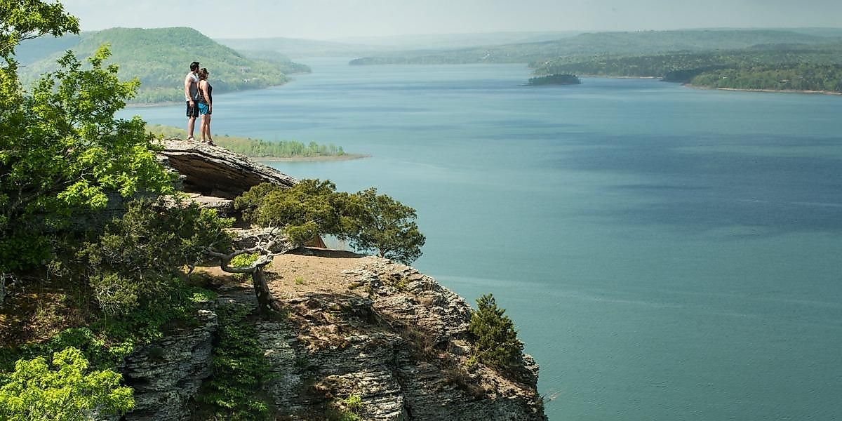
The French Alps: Located in the southeastern part of the country, the French Alps are a segment of the larger Alpine mountain range that stretches across Central Europe. They are characterized by high mountain peaks, with Mont Blanc being the tallest peak in Western Europe at 4,807 m (15,770 ft) (marked on the map above).. Glaciation has been significant in shaping the landscape, resulting in U-shaped valleys, moraines, and large lakes, such as Lake Geneva. The region also comprises important river systems, notably the Rhône.
The Jura Mountains: Positioned to the north of the Alps and extending along the France-Switzerland border, the Jura Mountains are a series of sub-parallel ridges made predominantly of limestone. Karst topography, with features such as sinkholes and underground caves, is prevalent due to the soluble nature of limestone. The region is characterized by its dense forests and relatively high annual rainfall.
The Vosges Mountains: Situated in northeastern France, the Vosges Mountains are primarily made up of granitic and sandstone rock. The range showcases rounded summits and a westward decline, which contrasts with the sharp ridges facing east, formed out of distinctive pink granite sandstone. These mountains are relatively low in altitude compared to the Alps, with the Grand Ballon being the highest peak.
Alsace Plain: In northeastern France, the Alsace Plain lies between the Vosges Mountains to the west and the Rhine River to the east. The region is characterized by its flat landscape, with a series of alluvial terraces and floodplains. Its geological history is linked closely to the Rhine Rift, a rift valley formed by tectonic activity. The region benefits from a semi-continental climate and is recognized for its agricultural activities, particularly in viticulture.
The Pyrenees: Forming a natural border between France and Spain, the Pyrenees mountain range extends from the Bay of Biscay in the west to the Mediterranean Sea in the east. Its composition includes a mix of granite and limestone, with significant glaciated areas. The range is divided into three sections: the Atlantic (or Western), Central, and Eastern Pyrenees. While the central section boasts the highest peaks, the eastern section is lower and less rugged.
The Garonne Basin: This basin surrounds the Garonne River, which flows from the Pyrenees and eventually merges with the Dordogne River to form the Gironde estuary, leading into the Atlantic Ocean. The region is characterized by alluvial plains and terraces, with fertile soils conducive to agriculture. Towards its southern parts, the landscape becomes hilly, transitioning into the foothills of the Pyrenees.
The French Riviera (Côte d'Azur): Located along the southeastern coast of France, the French Riviera, or Côte d'Azur, is a part of the Mediterranean coastline. It is characterized by its mild climate, influenced by the Mediterranean Sea, and its steep, hilly terrain, which rises abruptly from the coastline. The region's geography has played a role in making it a significant maritime area. The presence of the Maritime Alps to the north provides a protective barrier, creating a microclimate conducive to vegetation, such as the iconic maritime pines.
Brittany Peninsula: The Brittany Peninsula protrudes westward into the Atlantic Ocean. It is characterized by a varying coastline, with numerous bays and inlets. The interior landscape comprises moorland, hills, and plateaus. Brittany is underlain by a large base of ancient rocks, which results in poor soils. Notably, the region has a significant maritime influence, manifesting in its climate and the physical formation of its coastal features.
Landes Forest: In southwestern France, the Landes Forest is one of the largest man-made forests in Europe. Originally, this area was a vast wetland, but it has been transformed through human intervention and extensive pine plantation in an effort to stabilize the soils. The region's soils are sandy, having been shaped by the gradual accumulation of marine and wind-blown deposits.
Rhone Valley: This valley stretches along the Rhône River from its source in the Alps to its delta at the Mediterranean Sea. The northern part of the valley, surrounded by mountains and plateaus, is narrow, while the southern part expands into a broad floodplain. The region's geological foundation includes a mix of alluvial deposits, making some sections highly fertile and suitable for agriculture. As one moves south, the Mediterranean influence on the climate becomes increasingly apparent.
Corsica is a Mediterranean island situated southeast of the French mainland and west of the Italian Peninsula. It is characterized by a varied topography that includes mountains, plains, and a diverse coastline. The island's highest peak, Monte Cinto, rises 2,706 meters above sea level and is part of a mountain chain that runs north-south through the middle of Corsica. The region experiences a Mediterranean climate, with hot, dry summers and mild, wet winters, which contributes to its distinct flora and fauna. Rivers and streams crisscross the island, with the Golo River being the longest.
Rivers and Water Bodies: Beyond the Seine and Loire, France hosts other significant rivers including the Garonne, which drains into the Atlantic Ocean, and the Rhône, which flows into the Mediterranean. The country also has several lakes, such as Lake Geneva (shared with Switzerland) in the east and Lake Annecy in the southeast.
Geography of Overseas France
In general, Overseas France refers to the 13 territories outside the European continent that remain under French sovereignty. These five territories maintain the same administrative status as the French mainland, which distinguishes them from more autonomous collectives such as French Polynesia or New Caledonia. Furthermore, these dependencies span across several oceans and regions, accounting for an area of approximately 120,396 km2 (about 46,485 mi2).
French Guiana: Located in the northeastern part of South America, French Guiana shares borders with Brazil to the south and east, and Suriname to the west. Covering an area of 83,534 km2, it is primarily covered by tropical rainforests, part of the Amazon rainforest. The Maroni River forms the natural border with Suriname, and the Oyapock River forms the border with Brazil. French Guiana's topography is relatively flat but elevates towards the south with the Tumuc-Humac mountains. Coastal areas are characterized by marshy plains, while the inland region is dominated by the Guiana Shield, a plateau region of ancient rock.
Guadeloupe: Located in the Caribbean, Guadeloupe is an archipelago consisting of two main islands, Basse-Terre and Grande-Terre, and several smaller islands. Basse-Terre, the western island, has a rough volcanic landscape with La Grande Soufrière, an active stratovolcano, as its highest peak. In contrast, Grande-Terre, the eastern island, has flatter terrain with limestone plateaus and sugarcane fields. The climate is tropical, influenced by northeast trade winds, and the region faces risks from both hurricanes and volcanic activity.
Martinique: Also located in the Caribbean, Martinique is an island of volcanic origin. It has a rugged mountainous landscape with Mount Pelée as its highest peak. The island has experienced volcanic eruptions in its history, notably the devastating eruption of 1902 which destroyed the city of Saint-Pierre. Coastal areas feature a mix of cliffs, coves, and beaches, while the interior has dense forests. The tropical climate is moderated by trade winds, though the island is vulnerable to hurricane impacts.
Réunion: Found in the Indian Ocean to the east of Madagascar, Réunion is an island with diverse terrain. It is home to two prominent volcanic peaks: the extinct Piton des Neiges and the active Piton de la Fournaise, one of the most active volcanoes in the world. The island also contains three calderas and a series of ravines and gorges. The eastern part receives significant rainfall due to the trade winds, leading to lush vegetation, while the west is drier. This difference in rainfall has a significant impact on the island's geography, with the wetter east being more prone to landslides and erosion.
Mayotte: Mayotte, located in the Comoros archipelago in the Indian Ocean between Madagascar and the coast of Mozambique, comprises two main islands: Grande-Terre (while identically named, it is wholly separate from Grande-Terre of Guadaloupe) and Petite-Terre. The region is surrounded by coral reefs and lagoons. It has a hilly landscape with the highest peak, Mount Benara, reaching 660 meters. Volcanic activity has played a significant role in shaping the geography of Mayotte, though no eruptions have been recorded in recent history. The region has experienced seismic activity in recent years, with a notable underwater volcano discovered off its coast in 2019.
Regions of France Map

France (officially, the French Republic) is divided into 18 integral administrative regions (regions, singular - region). In alphabetical order, the regions are: Auvergne-Rhone-Alpes, Bretagne (Brittany), Bourgogne-Franche-Comte (Burgundy-Free County), Corse (Corsica), Centre-Val de Loire (Center-Loire Valley), Grand Est (Grand East), Hauts-de-France (Upper France), Ile-de-France, Nouvelle-Aquitaine (New Aquitaine), Normandie (Normandy), Occitanie (Occitania), Pays de la Loire (Lands of the Loire) and Provence-Alpes-Coted’Azur. These 13 regions are located in Metropolitan France in the European continent. The 5 overseas regions are: Mayotte and Reunion in Indian Ocean off the African coast; Guyane (French Guiana) is in South America; Guadeloupe and Martinique in Antilles in the Carribean Sea.
Located in the north-central part of the country is Paris – the capital, the largest and the most populous France. It is a major administrative, cultural and commercial center of the country.
Where is France?

France is a country located in North Western Europe. It is geographically positioned both in the Northern and Eastern hemispheres of the Earth. France is bordered by 7 countries: by Belgium and Luxembourg in the northeast; by Germany, Switzerland and Italy in the east; and by Spain and Andorra in the south. It is also bounded by the Bay of Biscay (North Atlantic Ocean) in the west; by the English Channel in the northwest and by the Mediterranean Sea in the south. France also shares maritime borders with UK in the north.
[Locations of 5 overseas regions: French Guiana in Northern South America, between Brazil and Suriname, bordering the North Atlantic Ocean. Guadeloupe: Caribbean, islands between the Caribbean Sea and the North Atlantic Ocean, southeast of Puerto Rico. Martinique: Caribbean, island between the Caribbean Sea and North Atlantic Ocean, north of Trinidad and Tobago. Mayotte: Southern Indian Ocean, island in the Mozambique Channel, about halfway between northern Madagascar and northern Mozambique. Reunion: Southern Africa, island in the Indian Ocean, east of Madagascar.]
Regional Maps: Map of Europe
Outline Map of France

The above blank map represents France, a country located in North Western Europe. The above map can be downloaded, printed and used for geographical educational purposes.

The above outline map represents France, a North Western European country. France is the 2nd largest and also one of the most geographically diverse countries in Europe.
Key Facts
| Legal Name | French Republic |
|---|---|
| Flag |
|
| Capital City | Paris |
| 48 52 N, 2 20 E | |
| Total Area | 643,801.00 km2 |
| Land Area | 640,427.00 km2 |
| Water Area | 3,374.00 km2 |
| Population | 67,059,887 |
| Major Cities |
|
| Currency | Euros (EUR) |
| GDP | $2.72 Trillion |
| GDP Per Capita | $40,493.93 |
This page was last updated on August 16, 2023