The State Parks Where Hikers Get Lost Most Often
A three-hour hike can turn into a three-day ordeal when the trail markers run out. That is the quiet danger inside some of the largest state parks in the United States. Wide backcountry, faint junctions, and dead cell zones catch experienced hikers off guard every season. The rescues that follow are why rangers keep repeating the same warnings.
No single nationwide list ranks state parks by how often hikers get lost, because every state logs its search and rescue calls differently. Even so, a handful of parks flag navigation and rough terrain as a standing hazard. Search and rescue crews run thousands of operations across US parks and public lands each year, so those flags carry weight.
The six parks below span forested Great Lakes shoreline, high desert canyon country, White Mountain passes, and roadless Alaskan wilderness. People come to each one for the genuine wildness. On each one, a wrong turn can also cost you the way back.
Porcupine Mountains Wilderness State Park, Michigan

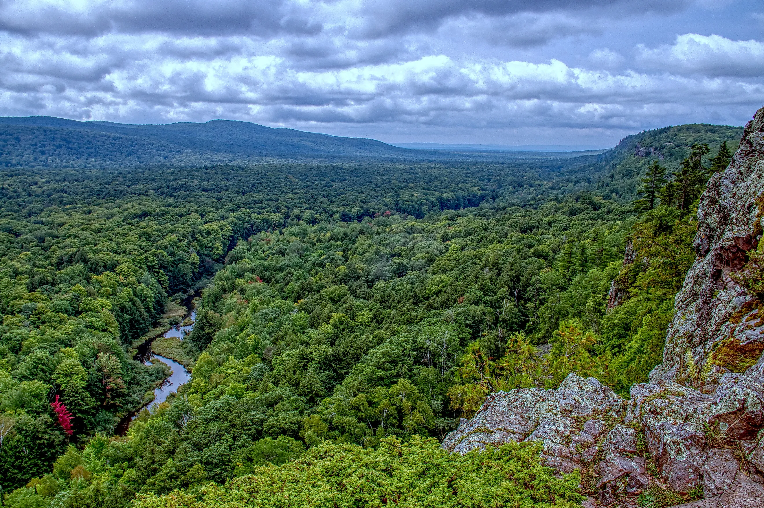
Old-growth forest, Lake Superior shoreline, waterfalls, and miles of rough trail make the Porcupine Mountains Wilderness State Park one of Michigan's wildest destinations. Locals call it the Porkies. At roughly 60,000 acres, it is the largest state park in Michigan, and cell coverage across much of that backcountry is spotty or gone entirely.
The remoteness is the draw, and it is also the risk. The Michigan Department of Natural Resources treats lost and overdue hikers as a recurring problem here, and rangers coordinate search and rescue efforts through the season.

Estimates put a typical year at roughly a dozen to 18 search and rescue calls, with busier seasons pushing well past 50 rescue and assistance calls. An estimated 600,000 people visit each year, so even a small share of hikers needing help adds up quickly.
The reasons are not mysterious. Trails run steep, rocky, muddy, and root-choked, and the weather flips fast. Once a hiker is deep in the woods, a single wrong turn can put miles between them and the nearest road or trailhead.
The Porkies reward the effort, but preparation is not optional. Carry a map, plenty of water, sturdy footwear, and navigation tools, and tell someone your route before heading into the backcountry.
Big Bend Ranch State Park, Texas

Big Bend Ranch State Park is big, wild, remote, and rough around the edges. It sits in far west Texas along the Rio Grande, and at about 311,000 acres it is the largest park in the state system. Rugged mountains, steep canyons, and desert valleys carry elevations from roughly 2,350 feet up to more than 5,000 feet, so the terrain shifts sharply as hikers climb.
The park drew 12,451 visitors in 2025, down from 13,963 in 2024. With that remoteness and those basic trails, getting lost is a real possibility. Many routes carry little signage and depend on rock cairns rather than clearly marked paths.
The danger is not theoretical. In November 2024, a woman became separated from her husband while biking, took a wrong turn, and ended up walking about 20 miles through the backcountry. She was missing for more than 30 hours before she reached the Sauceda Ranger Station and connected with rescue crews.

The heat turns a bad situation dangerous. Texas Parks and Wildlife warns that temperatures can climb above 100 degrees Fahrenheit, and direct sun makes the exposure worse. Pack far more water than you think you need, carry a reliable map, and do not count on a phone to get you out.
Harriman State Park, New York

About 30 miles from New York City, Harriman State Park is the second-largest state park in New York, spread across more than 47,500 acres. Within its boundaries are 31 lakes and reservoirs, more than 200 miles of hiking trails, and a stretch of the Appalachian Trail.
All that ground makes it easy to lose your bearings. Some trails carry faded or confusing markers, and closures and shifting conditions add to the confusion. New York does not publish a rescue count specific to Harriman, but its Department of Environmental Conservation Forest Rangers ran 362 search and rescue missions statewide in 2024.

Harriman has seen its share of rescues. In May 2026, three hikers, including a child, spent part of a night stranded in the woods before Chaverim of Rockland Search and Rescue located them. In March 2026, Matzil Search and Rescue helped find two overdue hikers during a nighttime search.
The park's size and its maze of trails are part of the appeal, and also the reason to come ready. Check trail conditions before you go, carry a reliable map and navigation tools, and keep enough phone battery for an emergency.
Big Basin Redwoods State Park, California

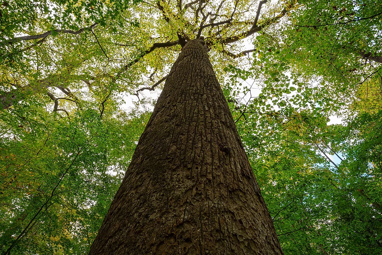
The giant California redwoods in Big Basin Redwoods State Park can stop a hiker mid-stride. Set in the Santa Cruz Mountains, it is California's oldest state park, established in 1902. Its coast redwoods, some estimated at 1,000 to 1,800 years old, are the main attraction. More than 230,000 people have visited since July 2022, when the park partially reopened after the 2020 CZU Lightning Complex Fire.
Those towering trees and thick forest also make navigation hard. Big Basin has extensive backcountry, changing trail conditions, and limited cell service. California State Parks tells visitors to carry a map and water, pack warm clothing and a flashlight, and plan to finish before sunset.
Serious incidents have happened here. In June 2024, hiker Lukas McClish was rescued after spending 10 days lost in the Santa Cruz Mountains near Big Basin. He had planned a short hike and was not equipped for a long stay.

Then, in March 2025, three hikers, including two young children, became lost after dark on a remote Big Basin trail. The children were reportedly developing hypothermia before a California Highway Patrol helicopter crew located the group.
No verified annual count of lost hikers exists for the park, but these rescues show how fast a wrong turn turns dangerous. Follow the safety guidance from California State Parks, and do not count on a phone working. The redwoods are the reason to come, and once a hiker is deep in the forest, the reason a simple wrong turn becomes a much bigger problem.
Crawford Notch State Park, New Hampshire

In New Hampshire's White Mountains, Crawford Notch State Park sits deep enough to feel like the middle of nowhere. Across its 5,775 acres are hiking trails, waterfalls, fishing spots, wildlife, and long mountain views.
Crawford Notch is a major White Mountain pass, and overdue or turned-around hikers here routinely bring out the New Hampshire Fish and Game Department. Steep terrain, fast-changing weather, and limited cell service can turn a straightforward hike into a much bigger problem.
A recent case came on July 19, 2026, when 27-year-old George Watson of Nashua was reported overdue on Mount Willard after missing his expected return. Watson later reached 911 by phone from the Mount Avalon Trail and hiked out on his own without injury, reuniting with his wife.

Popular routes around Mount Willard, Mount Avalon, and Arethusa Falls get hard when hikers underestimate the terrain, miss a junction, or run out of daylight. With little cell service, start early and carry a physical map, a headlamp or flashlight, spare batteries, water, food, and warm layers. New Hampshire also recommends a pea-less emergency whistle. A whistle carries farther than a shout and takes less energy, which matters if you get lost or hurt. The views are worth the effort, as long as you treat the White Mountains with respect.
Wood-Tikchik State Park, Alaska

Wood-Tikchik State Park in southwestern Alaska is about as far off the grid as a hiker can get. It covers nearly 1.6 million acres, which makes it the largest state park in the country, roughly the size of Delaware. Interconnected lakes, rivers, mountains, and open backcountry draw people for float trips, fishing, hunting, and wildlife watching.
The catch is the isolation. No roads reach the park, so most people arrive by boat, floatplane, or on foot, and a bush flight is usually the only practical option. Facilities are few and rustic, and visitors mostly have to be self-sufficient. With virtually no maintained trails and very little staffing, a hiker who gets turned around here faces serious survival risks.
No reliable public figures track how many people get lost here each year, but the park's safety guidance is blunt: getting disoriented, or even just delayed, can become a life-threatening situation. Rangers warn that weather shifts fast, especially on the open lakes, and recommend carrying a GPS or topographic map, a compass, extra food, warm clothing, rain gear, first-aid supplies, and a personal locator beacon or satellite phone. In wilderness this vast, that kind of preparation is the baseline, not overkill.
Wild Country Demands Preparation
These six parks share one trait beyond their scenery: on all of them, a marked route can vanish underfoot fast. Some log steady search and rescue calls near major cities, while others sit so far out that one navigation mistake becomes a survival problem. Preparation closes most of that gap. Check the forecast, study the route, and carry a physical map, ample water, and a way to navigate without a signal. Give yourself daylight to spare, and leave your plan with someone who will notice if you are late. The wildness is the reason to go. Readiness is the reason you get to come back.