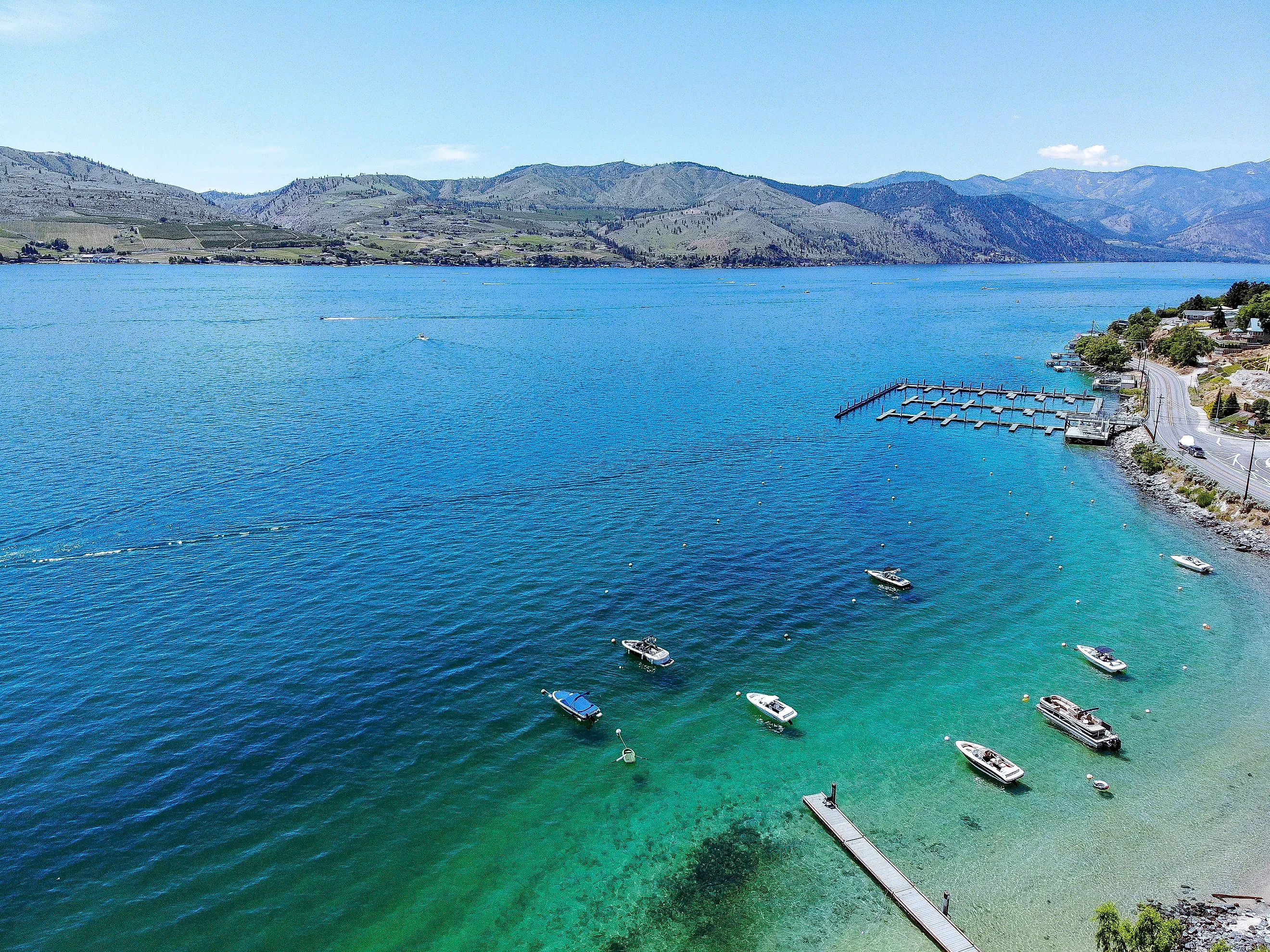
Lake Chelan’s Bottom Is Below Sea Level
Lake Chelan's surface sits at 1,100 feet above sea level and the lake is 1,486 feet deep. Subtract one from the other and the floor of the lake comes out at roughly 386 feet below sea level, a figure published variously as 388 and as much as 436 feet depending on which point is measured. Either way the bottom of a lake in the Cascade foothills is lower than Badwater Basin in Death Valley, which is the lowest dry land in North America at 282 feet below sea level.
The Arithmetic Is The Whole Story

No specialist knowledge is required to reach the result, which is part of what makes it surprising.
Surface elevation 1,100 feet, maximum depth 1,486 feet. The difference is 386 feet, and that is where the lake floor sits relative to the ocean.
Published figures give 388 feet below sea level at the deepest point and up to 436 feet in some accounts, the variation depending on survey and on which part of the basin is being measured. The arithmetic supports the lower end.
It Is A Glacially Overdeepened Basin

Lakes do not normally cut below the level of the sea, because flowing water stops eroding when it reaches base level. Ice does not.
Lake Chelan is classified as a glacially overdeepened lake, carved by repeated Pleistocene glaciers that ground down through the valley floor well past the point where a river would have stopped.
Glaciers erode by plucking and abrasion under enormous pressure rather than by gravity-driven flow, so they can and do excavate below sea level. The trench remained when the ice left, and filled with water.
The Shape Is A Fjord

The proportions follow directly from the way it was made.
The lake is 50.5 miles long with an average width of 1.3 miles, a ratio of nearly 39 to one. Published descriptions call it fjord-like, and the comparison is geological rather than poetic.
A Norwegian fjord is the same feature with the sea let into it. Lake Chelan is what a fjord looks like when the ocean is 150 miles away and cannot get in.
The Relief Above It Is Extraordinary

Measuring from the lake bottom rather than the surface produces a figure that does not sound like Washington State.
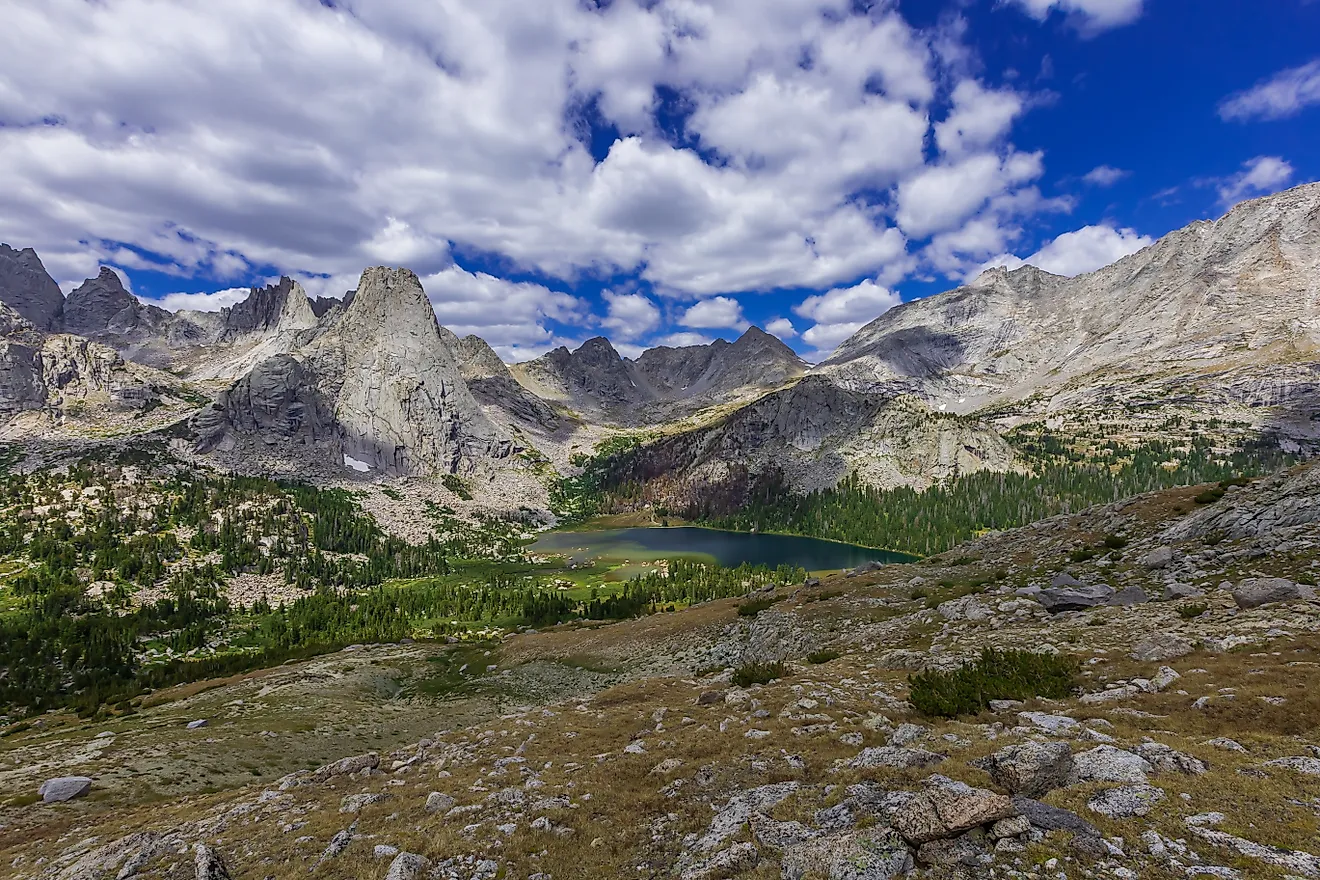
Near the upper end of the lake, the surface lies more than 6,600 feet below peaks that are less than three miles away. Add the 1,486 feet of water beneath and the total relief from summit to lake floor exceeds 8,000 feet.
That is vertical relief comparable to major mountain ranges, compressed into a horizontal distance of about three miles.
A Dam Raised It Without Moving The Floor

One detail complicates any statement about the lake's natural depth, and it is worth stating plainly.
Lake Chelan Dam was completed in 1927 and raised the lake's elevation by 21 feet to its present maximum of 1,100. Before that, Chelan was the largest natural lake in Washington by both surface area and volume.
Raising the surface made the lake 21 feet deeper without touching the bottom. In its natural state the floor sat about 407 feet below sea level, which is further down rather than less.
It Is Third Deepest In The Country

The depth figure places it in national company most people would not predict.
At 1,486 feet Lake Chelan ranks third deepest in the United States behind Crater Lake at 1,949 and Lake Tahoe at 1,645. It is 25th deepest in the world.
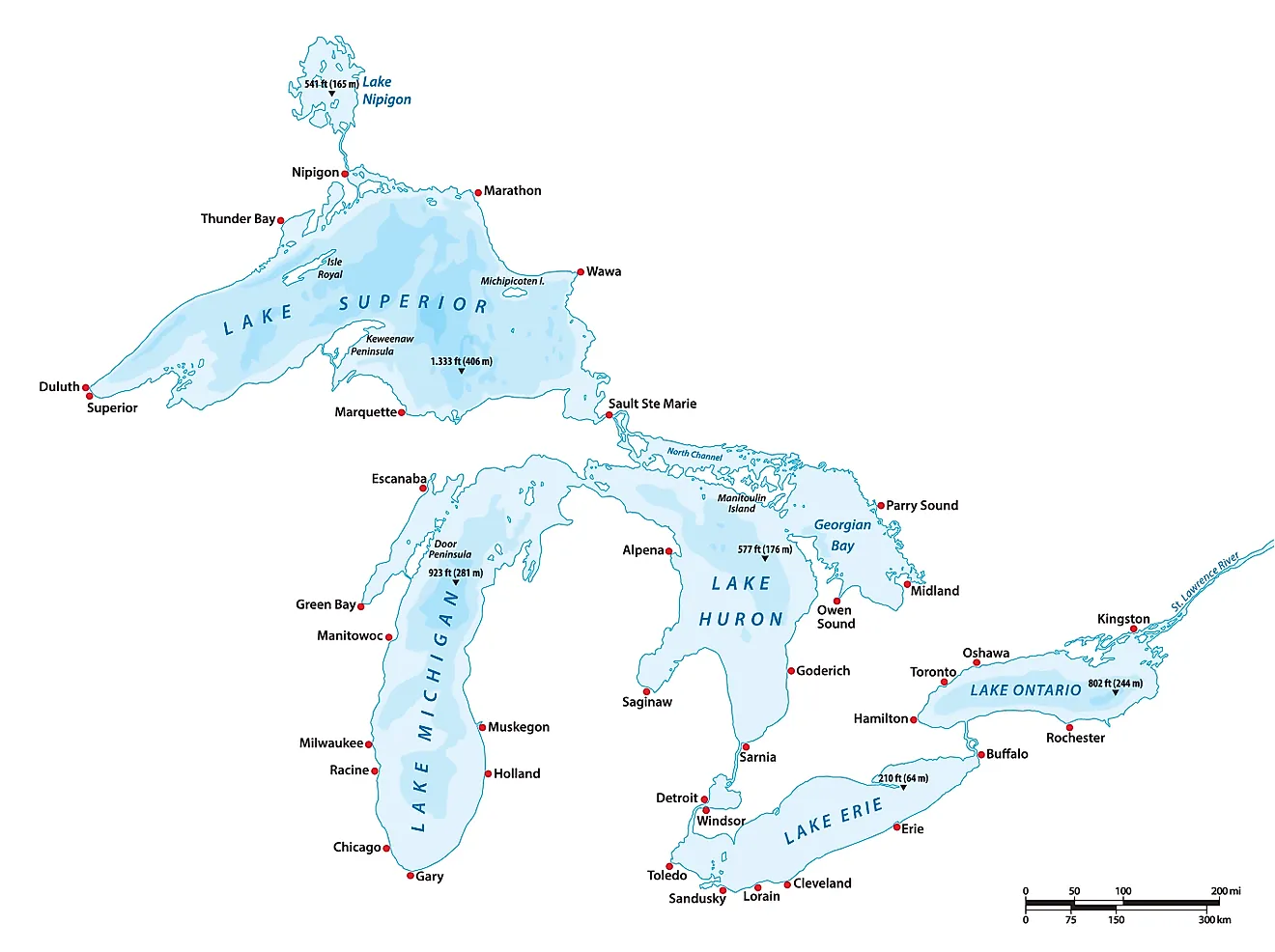
It is also deeper than every Great Lake. Lake Superior reaches 1,333 feet, which puts a narrow lake in north-central Washington 153 feet deeper than the largest freshwater lake on the continent.
Crater Lake Is The Opposite Case

Comparing the two deepest American lakes shows how differently a basin can be built.
Crater Lake is the deepest lake in the world whose basin sits entirely above sea level, a distinction limnologists use precisely because most very deep lakes do not manage it. It occupies a collapsed volcano at high elevation.
Chelan achieves comparable depth from a starting elevation of 1,100 feet by going underneath the ocean instead. Same continent, same century of measurement, opposite methods.
The Upper End Has No Road

The geography that produced the trench also produced a settlement reachable only by water.
Stehekin sits at the head of the lake inside North Cascades National Park, with no road connection to the outside. Access is by ferry, floatplane or on foot.
The valley walls that made a road impractical are the same walls the glacier carved on its way down past sea level.
The Watershed Is Almost Entirely Forest

What feeds the lake matters for what the water in it is like.
Lake Chelan's watershed covers 924 square miles and more than 90 percent of it is forested land. The lake itself is divided into two basins, the deeper Lucerne Basin to the northwest and the shallower Wapato Basin at the Chelan end.
Very little agriculture or development sits upstream of the deep end, which is unusual for a lake this accessible at its lower end.
Below Sea Level Is Commoner Than It Sounds

Chelan is unusual in America and unremarkable globally, which is worth knowing before the fact gets oversold.
Any lake deep enough and low enough qualifies, and glacially carved basins produce them routinely. The Finger Lakes of New York have trenches cut below sea level by the same mechanism, at smaller scale.
What makes Chelan notable is the combination: third deepest in the country, a floor below the ocean, and 6,600 feet of rock standing over it within three miles.
The Short Answer

Lake Chelan's surface sits 1,100 feet above sea level and its floor sits roughly 386 feet below it, because Pleistocene glaciers excavated the valley past the depth any river could reach. Published figures range from 388 to 436 feet below sea level depending on the survey.
The bottom of that lake is lower than the lowest point on dry land in North America, with 6,600 feet of mountain standing above the water within three miles of it. It is a fjord that never met the sea.