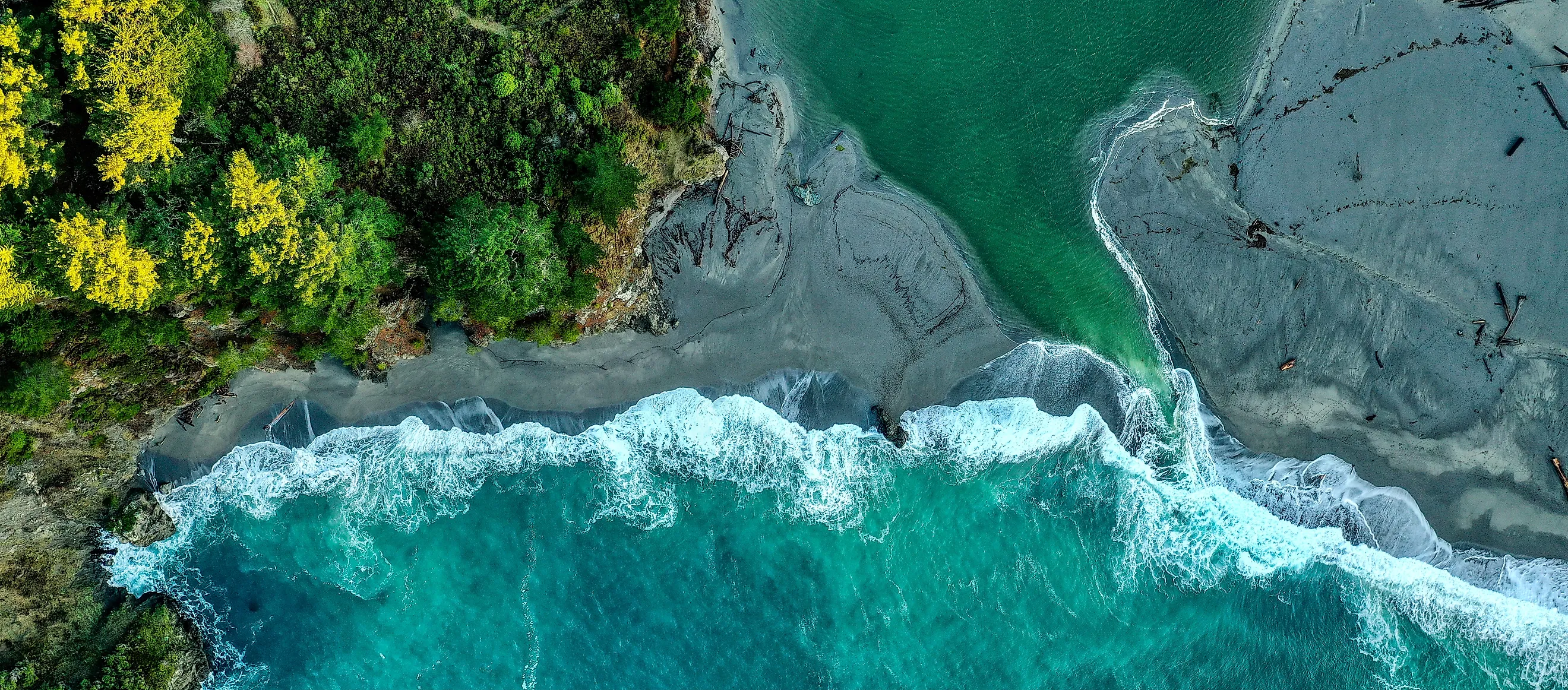
What Happens When A River Meets The Ocean
Fresh water and seawater do not simply blend on contact. River water carries almost no dissolved salt, seawater carries a great deal of it, and that difference makes one lighter than the other. So instead of mixing, the river slides out across the top of the sea while the denser salt water pushes inland underneath it, and the two can travel in opposite directions in the same channel at the same time. That arrangement produces some of the most biologically productive places on the planet, builds new land out of suspended mud, and occasionally sends a wall of water traveling backwards up a river. Here is what actually happens where a river reaches the ocean, and why the meeting is far stranger than a line on a map suggests.
Fresh Water Floats
Everything downstream of this point follows from a density difference. Dissolved salt makes water heavier, so seawater at roughly 35 parts per thousand sits denser than river water at half a part per thousand or less. When the two meet, the lighter fresh water rides over the top rather than blending into it.
The boundary between the layers has a name. A halocline is a sharp vertical change in salinity over a short depth, and in a strongly layered river mouth you can pass through one while swimming down, feeling the temperature and the buoyancy change within a meter or two. Divers in some coastal caves describe the water going visibly blurry at the transition, an optical effect caused by light bending as it crosses between waters of different density.
The Salt Wedge
Because the denser water sinks, seawater does not stop at the river mouth. It pushes upstream along the bottom as a tapering layer, thickest at the sea end and thinning to nothing somewhere inland. Oceanographers call the shape a salt wedge, and the name is literal.
The wedge moves. During high river flow it gets pushed back toward the sea, and during low flow it extends much further upriver, sometimes by tens of miles. That has practical consequences. Cities that draw drinking water from a tidal river have to monitor how far the salt has intruded, and in drought years the wedge can reach intakes that are normally comfortably fresh.
The two flows are genuinely opposed. Fresh water is heading seaward on the surface while salt water creeps landward underneath, and a boat on the surface and a crab on the bottom are traveling in opposite directions.
Four Ways Water Can Layer
How completely the two mix depends on a contest between river discharge and tidal energy, and oceanographers sort the outcomes into a handful of categories. A salt wedge estuary has strong river flow and weak tides, so the layers stay distinct and mixing happens only at the interface. A partially mixed estuary has moderate tides that stir the boundary without erasing it. A vertically mixed estuary has weak river flow and strong tides, so salinity is roughly the same from surface to bed and simply increases as you move seaward. Fjords form a fourth type, where a shallow sill at the mouth traps deep water behind it.
The same river can shift between categories through the year. A spring flood turns a well-mixed estuary into a layered one, and a dry autumn reverses it.
The Numbers Behind Brackish
Brackish is a vague word for something precisely measurable. Fresh river water sits at 0.5 parts per thousand of dissolved salt or below, open ocean water above 30, and the estuary in between passes through the entire range.
Scientists divide that span into zones: lightly brackish from 0.5 to 5 parts per thousand near the river, moderately brackish from 5 to 18 through the middle reaches, and highly brackish from 18 to 30 closer to the sea. Those bands are not fixed in place. They slide up and down the estuary with the tide, the season and how much rain fell upstream last week, which means an organism living at a given spot may experience most of the range in a single day.
Why The River Drops Its Mud

Aerial view over the mouth of the Noosa River where it meets the sea, Australia
This is the part that builds land, and the mechanism is electrical rather than mechanical. Clay particles suspended in river water carry a net negative charge, so they repel one another and stay suspended almost indefinitely. When that water meets the sea, the dissolved ions in salt water neutralize those charges, the repulsion disappears, and the particles begin sticking together into larger clumps. The process is called flocculation, and the clumps are flocs.
A single clay particle is small enough to drift for months. A floc made of thousands of them is heavy enough to sink. So the river does not gently deposit its load as it slows down, it dumps a large share of it the moment the chemistry changes, which is why river mouths accumulate mud so efficiently.
The Turbidity Maximum
Flocculation also sets up a trap that keeps sediment circulating rather than letting it escape to sea. Flocs form in the brackish zone and sink into the salt wedge below. The wedge is moving upstream, so it carries them landward, back toward the point where the opposing flows cancel out. There the water is fresher again, the flocs break apart, the individual particles rise back into the seaward surface flow, and the cycle repeats.
The result is a standing zone of exceptionally cloudy water partway up the estuary, known as the estuarine turbidity maximum, where suspended sediment concentrations far exceed those in either the river or the sea. A great deal of the mud a river carries never reaches the ocean at all. It just circulates.
Delta Or Estuary
Two very different landforms can occur at a river mouth, and which one you get comes down to a straightforward contest. If the river delivers sediment faster than waves and tides can carry it away, the deposits build outward and the river constructs a delta, extending land into the sea and splitting into distributary channels as it goes. If the coast has strong tides or waves relative to the sediment supply, the mouth stays open and scoured, and you get an estuary instead.
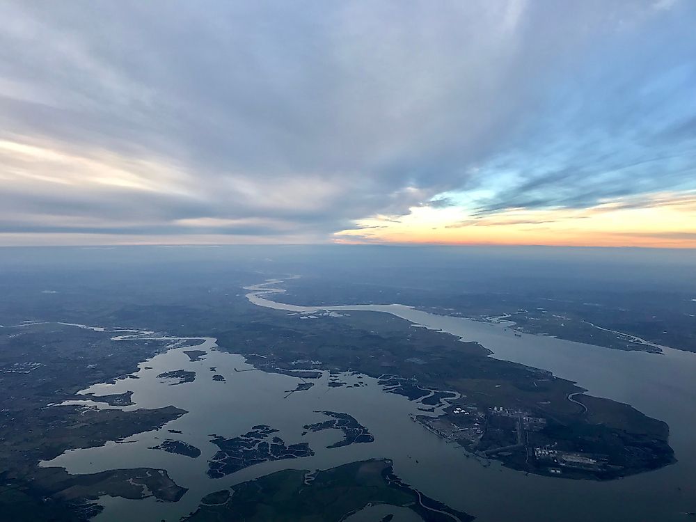
The Mississippi has built a delta far out into the Gulf. The Thames, working against strong tides with far less sediment, has kept an open estuary for as long as anyone has recorded it. Same basic physics, opposite outcomes.
The Plume Keeps Going
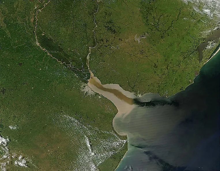
The river does not stop influencing the ocean at the coastline. Buoyant fresh water spreads out across the sea surface as a plume, sometimes visible from orbit as a distinct band of discolored water reaching far offshore.
Earth's rotation steers it. The Coriolis effect deflects the plume to the right in the Northern Hemisphere and the left in the Southern, so river outflows tend to hug the coast in a predictable direction rather than spreading evenly. Wind can push the plume around, and a strong offshore blow will stretch it seaward.
These plumes carry nutrients, sediment and whatever else the river was transporting, which is why the effects of upstream agriculture can show up in ocean water a long way from any farm.
The Most Productive Water There Is

Estuaries rank among the most biologically productive environments on Earth, and the reason is the sediment trap described above. Nutrients delivered by the river get held in the system rather than flushed straight out, and shallow water lets light reach the bottom, so plant growth is intense.
Salt marshes and mangrove forests fringe these zones, stabilizing sediment and providing shelter. An enormous proportion of commercially fished species spend their juvenile stage in an estuary before moving offshore, which makes these few square miles of muddy water disproportionately important to fisheries operating hundreds of miles away.
Living there is demanding. Estuarine animals are mostly euryhaline, meaning they tolerate a wide salinity range, and fish do it by actively switching their osmoregulation between absorbing salt in fresh water and excreting it in seawater. Crabs and mollusks take a simpler route and burrow or shut their shells when conditions swing too far.
When The Tide Pushes Back
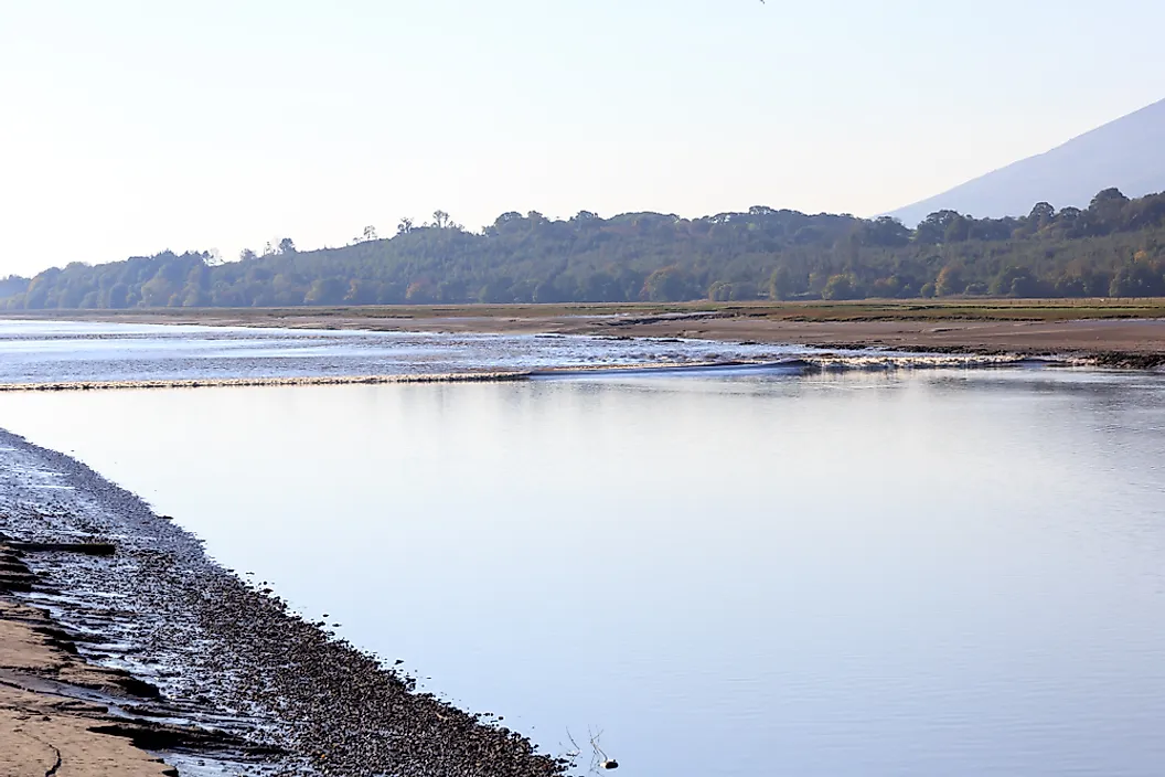
In the right conditions the ocean does not creep upstream along the bottom. It arrives all at once, on the surface, as a breaking wave. A tidal bore happens where a large tidal range meets a funnel-shaped estuary that narrows and shallows inland. The rising tide gets squeezed into less and less space until the leading edge steepens into a breaking wave that travels upriver against the current, sometimes for many miles.
Only a small number of rivers worldwide produce a proper bore, because the geometry has to be right. Where it works, the effect is spectacular enough that people surf them.
What Is Changing
Rising sea level pushes the salinity zones further inland, which sounds abstract until you consider what depends on where they sit. Salt-tolerant species have to shift upstream, which they can only do if there is somewhere to go and no seawall in the way. Drinking water intakes on tidal rivers face salt intrusion in dry years. And reduced river flow, whether from drought or upstream diversion, lets the wedge advance further because there is less fresh water pushing back against it.
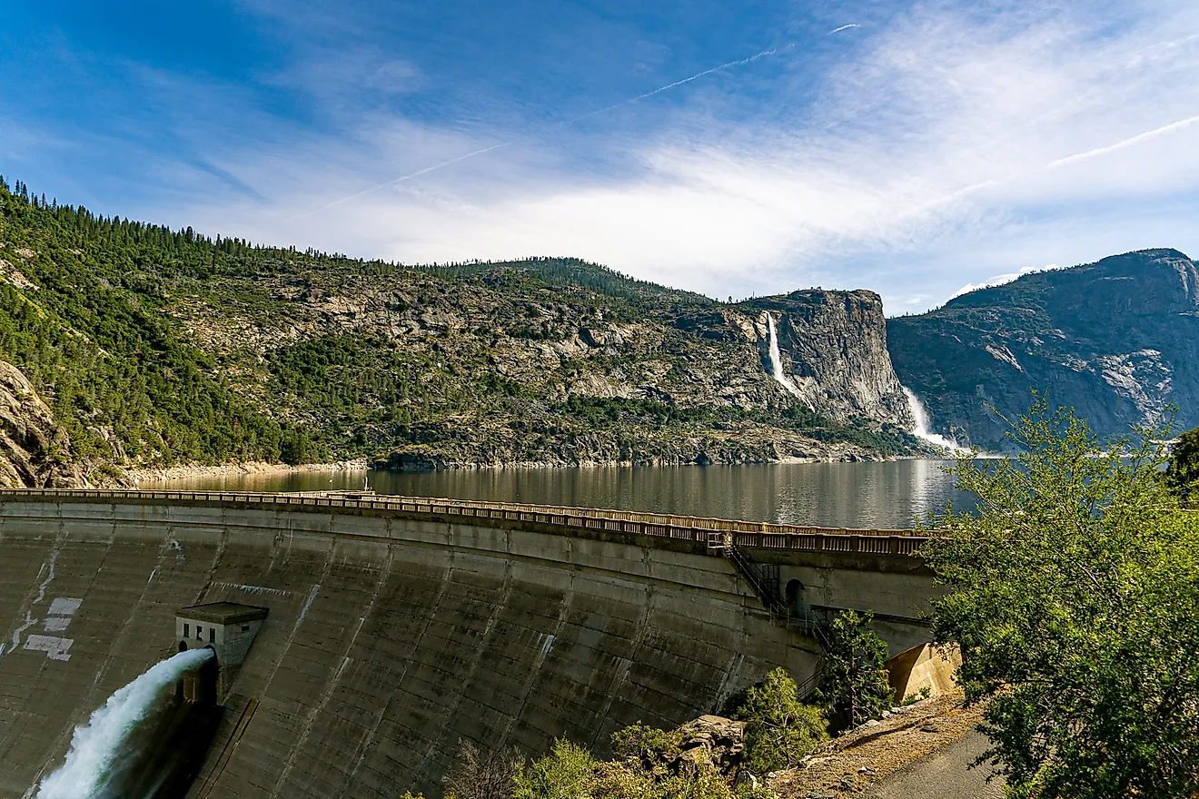
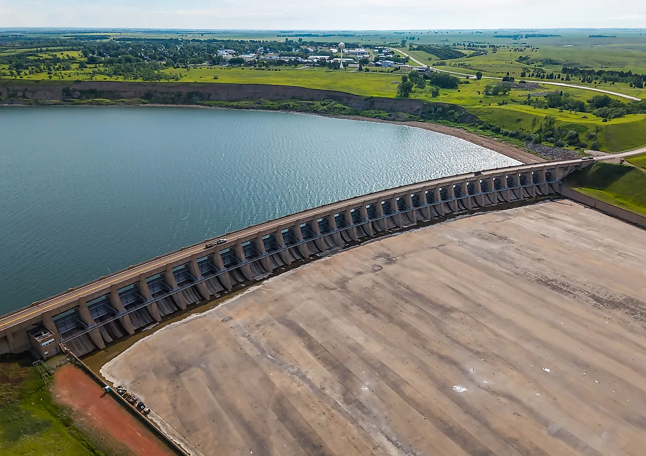
Sediment supply matters here too. A river dammed upstream delivers less mud to its delta, and a delta that stops receiving sediment begins to sink and erode rather than grow.
A Meeting Rather Than A Line
A river mouth on a map is a single point where one blue line joins a larger blue area. In practice it is a zone that can extend tens of miles in both directions, moves daily with the tide and seasonally with the weather, and has fresh water and salt water traveling opposite ways within the same stretch of channel.
What looks like an ending is a long and complicated negotiation. The river gives up its sediment, the sea gives up some of its salt, and the ground built in between turns out to be among the most valuable habitat on the planet.