The Year The Mississippi Ran Backwards
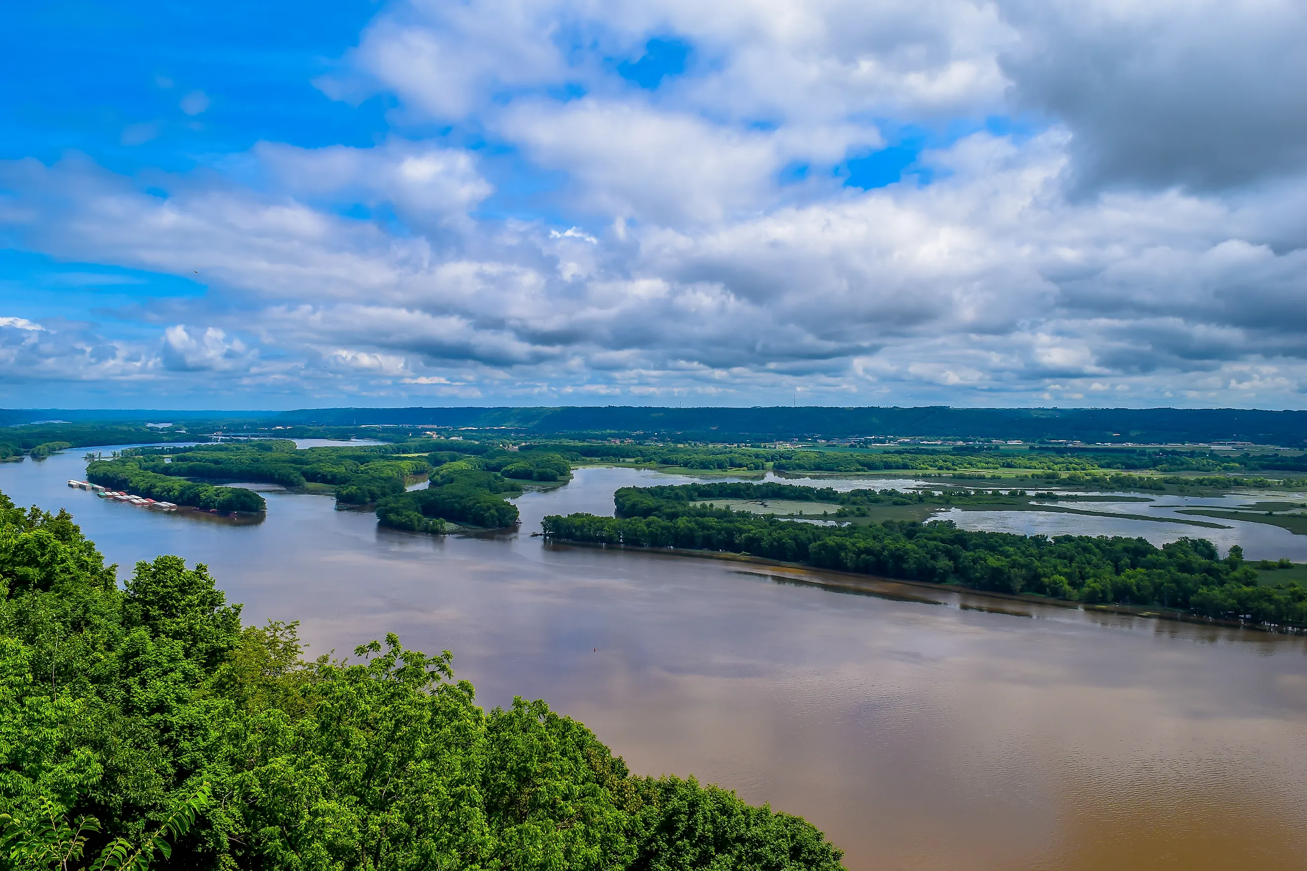
A river has precisely one responsibility in life: flow downhill. The Mississippi had been dutifully carrying water south toward the Gulf for thousands of years, no notes, no complaints. And then, for a few genuinely bizarre hours in the winter of 1811 to 1812, it stopped, reconsidered its life choices, and ran backwards. This was not a legend, a tall tale, or somebody's uncle exaggerating at a fish fry. It really happened, and the reason involves one of the most powerful earthquakes ever to strike the United States, a disaster that reshaped the landscape and killed far more people than the history books long admitted. Here is the strange, true story of the year the Mississippi flowed the wrong way.
The Answer: The Winter of 1811 to 1812

The culprit was the New Madrid earthquakes, a violent series of quakes centered on the small frontier town of New Madrid, Missouri, in the state's boot heel. Between December 1811 and March 1812, the region was hammered by three enormous earthquakes and literally thousands of aftershocks. The three big ones struck on December 16, 1811, January 23, 1812, and February 7, 1812, with modern estimates placing them around magnitude 7.5 to 7.7, though some historical figures run higher. It was that final February jolt, the strongest of the bunch, that flipped the river. Boatmen unlucky enough to be on the water that night reported the unthinkable: the Mississippi was suddenly flowing north.
Wait, How Does a River Run Backwards?

Reassuringly, the river did not develop a mind of its own; the ground beneath it simply got reshuffled. The fault involved actually crossed the Mississippi in several places, and when it ruptured, the land heaved upward in spots, throwing up a temporary scarp that acted like an instant dam and even created short-lived waterfalls right across the river. Meanwhile, other stretches of ground dropped away. With the river suddenly blocked and lower land opening up nearby, the water did the only thing water can do: it rushed toward the new low ground, which happened to be backwards. Scientists sometimes call the result a "fluvial tsunami." Once the sunken land filled, the Mississippi shrugged and resumed heading south like nothing had happened.
It Also Rewrote the Map

That backwards-flowing water had to go somewhere, and where it went, it left a permanent mark on the map. As a large stretch of northwest Tennessee dropped by five to twenty feet, the Mississippi and the newly dammed Reelfoot Creek poured into the fresh basin and filled it, creating Reelfoot Lake, roughly 18 miles long and 5 miles wide. More than two centuries later it is still there, and it is genuinely eerie and beautiful: a shallow, swampy lake studded with the trunks of bald cypress trees, many of which were standing on dry land before the quake and now rise straight out of open water. Today it anchors Reelfoot Lake State Park, hosts one of the largest wintering populations of bald eagles in the interior United States, and ranks among the South's most celebrated crappie fisheries.

Reelfoot was not the only body of water the quakes conjured. They also formed Big Lake on the Arkansas-Missouri border, now a national wildlife refuge, and left behind the vast, waterlogged "Sunken Lands" along the St. Francis River, where entire forests dropped below the water table in moments. To this day, fields across the region are pocked with "sand blows," pale scars where liquefied sand erupted from underground during the shaking and that remain visible from the air. The whole landscape was rewritten in a matter of weeks.
It Rang Church Bells in Boston

The reach of these earthquakes is almost impossible to overstate. They were felt across roughly a million square miles, an area so vast it seems unreal for a Midwestern quake. The shaking cracked plaster in St. Louis, toppled chimneys in Ohio, and split pavement in Charleston, South Carolina. President James Madison and First Lady Dolley Madison reportedly felt it in the White House. Most famously, contemporary accounts describe church bells ringing on their own in Boston and Philadelphia, more than a thousand miles from the epicenter, as the ground swayed. Geologists estimate the area of strong shaking was roughly ten times larger than that of the 1906 San Francisco earthquake. For a region where big earthquakes are supposed to be a rarity, the Mississippi Valley put on a ferocious show.
The Toll We Will Never Fully Know

It is often repeated that the New Madrid quakes killed almost no one, and the official record does list only a single confirmed death, from a building collapse in New Madrid. But that tidy number is misleading, because the people most exposed to the disaster were precisely the ones least likely to be counted. Out on the water, boats were flung over the newly formed waterfalls and swallowed by whirlpools, drowning their crews, and the settler village of Little Prairie was wiped out entirely. According to multiple accounts, the sinking of the land that created the new lakes drowned the inhabitants of at least one Native American village, part of a wider loss of life among the region's Indian communities and enslaved people that early tallies simply did not bother to record. Modern historians believe the true death toll ran well into the dozens or hundreds. The sparse frontier population spared the young country a true catastrophe, but "almost nobody died" is a comforting story that quietly erases the people history declined to count.
The Fault Is Still Down There

Here is the part that should give you pause. The New Madrid Seismic Zone is still the most active earthquake region in the country east of the Rocky Mountains, quietly registering hundreds of small tremors every year along an ancient buried rift far from any plate boundary. The difference between 1812 and now is people: the sparse frontier of two centuries ago has become home to millions, with major cities like Memphis and St. Louis sitting squarely within its reach. Experts estimate a serious quake in the coming decades is a real possibility, and a repeat of 1812 would rank among the worst natural disasters in American history. The Mississippi ran backwards once, for a few strange hours, and the fault that pulled it off is still down there, patient and entirely indifferent to our plans.