The Longest River Entirely In One State In The Lower 48
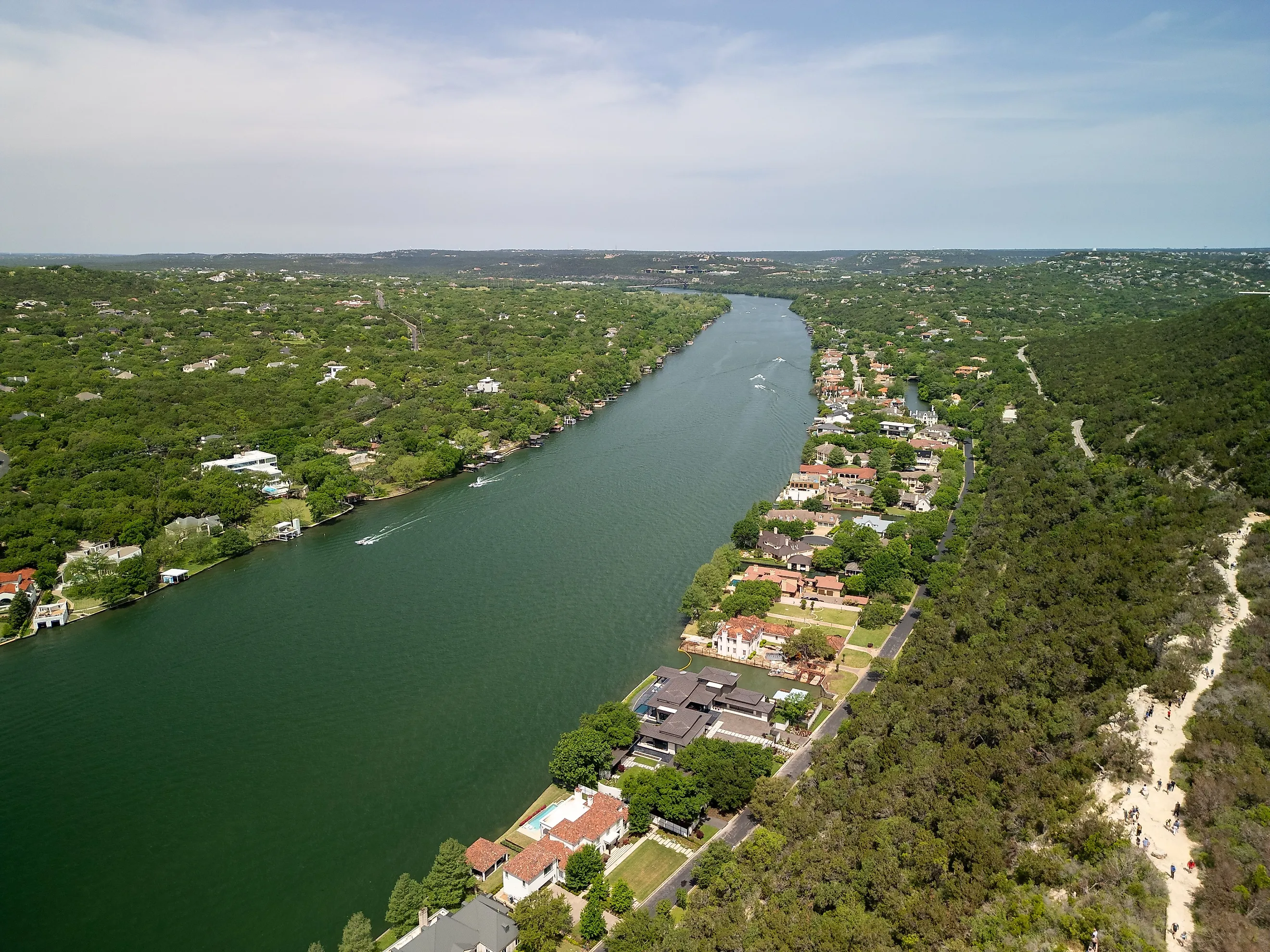
Texas's Colorado River runs approximately 862 miles without crossing a state line, the longest such course in the contiguous United States. It passes through Austin, where paddlers use stretches of its channel impounded as lakes.
This Colorado is separate from the river that carved the Grand Canyon. Its headwaters lie in West Texas, and its course ends on the Gulf Coast near Matagorda. Along the way, dams store drinking water for Central Texas, while the lower river continues past Bastrop and through farming country. Even its mouth has been rebuilt: engineers cleared an enormous logjam, then redirected the river twice during the twentieth century.
Its Headwaters Can Run Dry

The Colorado begins in intermittent draws in northeastern Dawson County, south of Lubbock. These drainage channels can be dry between flows. Much of its basin occupies relatively arid country. Despite having the longest course entirely inside the state, the Colorado carries a comparatively small annual flow, a reflection of the dry watershed it drains.
Upstream of the Hill Country, the river passes through reservoirs including Lake J.B. Thomas and O.H. Ivie. The Concho and San Saba rivers add water along its southeastern route. Farther along, the Llano and Pedernales feed the reservoir system near Austin. The Colorado's own channel stays in Texas, although its wider drainage basin reaches into New Mexico.
Six Dams Turn The River Into The Highland Lakes

Northwest of Austin, six dams divide the Colorado into the Highland Lakes. The Lower Colorado River Authority operates the dams. Lake Buchanan and Lake Travis hold the region's principal water reserves, supplying more than a million people alongside agricultural and other users. Austin Water draws its raw water directly from Lake Travis and Lake Austin before treating it for customers.
The reservoirs have different jobs. Lake Travis has a dedicated flood pool above its normal full level, giving operators room to hold back stormwater. Four other Highland Lakes, including Lake Austin, have no flood storage capacity. Water passes through them as releases move downstream.
That distinction explains why a full-looking lake in Austin can coexist with falling water supplies farther upstream. Lake Austin normally stays within a narrow operating range. Buchanan and Travis fluctuate as water enters the system or is released for use.
The River Continues Beyond Austin's Kayaks

Lady Bird Lake is another impounded stretch of the Colorado. Longhorn Dam created it in 1960, downstream of the six Highland Lakes. Its shoreline trails and paddling access put this part of the river within reach of downtown Austin. Below the dam, the Colorado continues toward Bastrop, where boaters encounter wooded banks and exposed bluffs along a flowing channel.
At Fisherman's Park in downtown Bastrop, the El Camino Real Paddling Trail begins a roughly six-mile downstream trip. The takeout is at Lost Pines Recreational Trails. Depending on flow and stops, the paddle takes about 1.5 to four hours. Sandbars interrupt the channel, and sandstone bluffs rise along parts of the route. Guadalupe bass inhabit this stretch; largemouth bass also occur in backwater pools. Upstream dam releases still affect the current here, and heavy rain can change access and water conditions.
A Logjam Once Extended Nearly 50 Miles Upriver

Near Matagorda, the Colorado once clogged with so much timber that trees grew on the accumulated logs. During the nineteenth century, this log raft extended nearly 50 miles upstream. Flooding prompted crews to dredge a channel through it between 1925 and 1929. Dynamiting and a major flood in 1929 helped clear the obstruction.
Released sediment then built land rapidly across Matagorda Bay. In the 1930s, a dredged channel routed the Colorado directly into the Gulf, bypassing the bay. Spoil placed beside that channel helped form the land dividing East and West Matagorda bays. Decades later, the value of freshwater entering the estuary prompted another change. A federal project completed by 1992 redirected the river into West Matagorda Bay.
The Longest Course Is The Least Of It
At Matagorda Bay, freshwater arriving through the Colorado helps maintain the salinity needed by young fish and shrimp. River inflows also carry nutrients that support the estuary's food web, while sediment contributes to coastal habitat. The Colorado particularly influences salinity at the eastern end of West Matagorda Bay. During drought, maintaining suitable water near river mouths can preserve refuge habitat for oysters and other estuary species. LCRA's operating requirements include freshwater inflows to Matagorda Bay as well as flows within the river channel, and its obligation to release water from Buchanan and Travis for the bay depends on inflows exceeding senior water-right requirements. The record length draws the eye, but the river earns its keep by what it stores, releases, and delivers to the coast.