The Point On The Great Lakes Farthest From Land
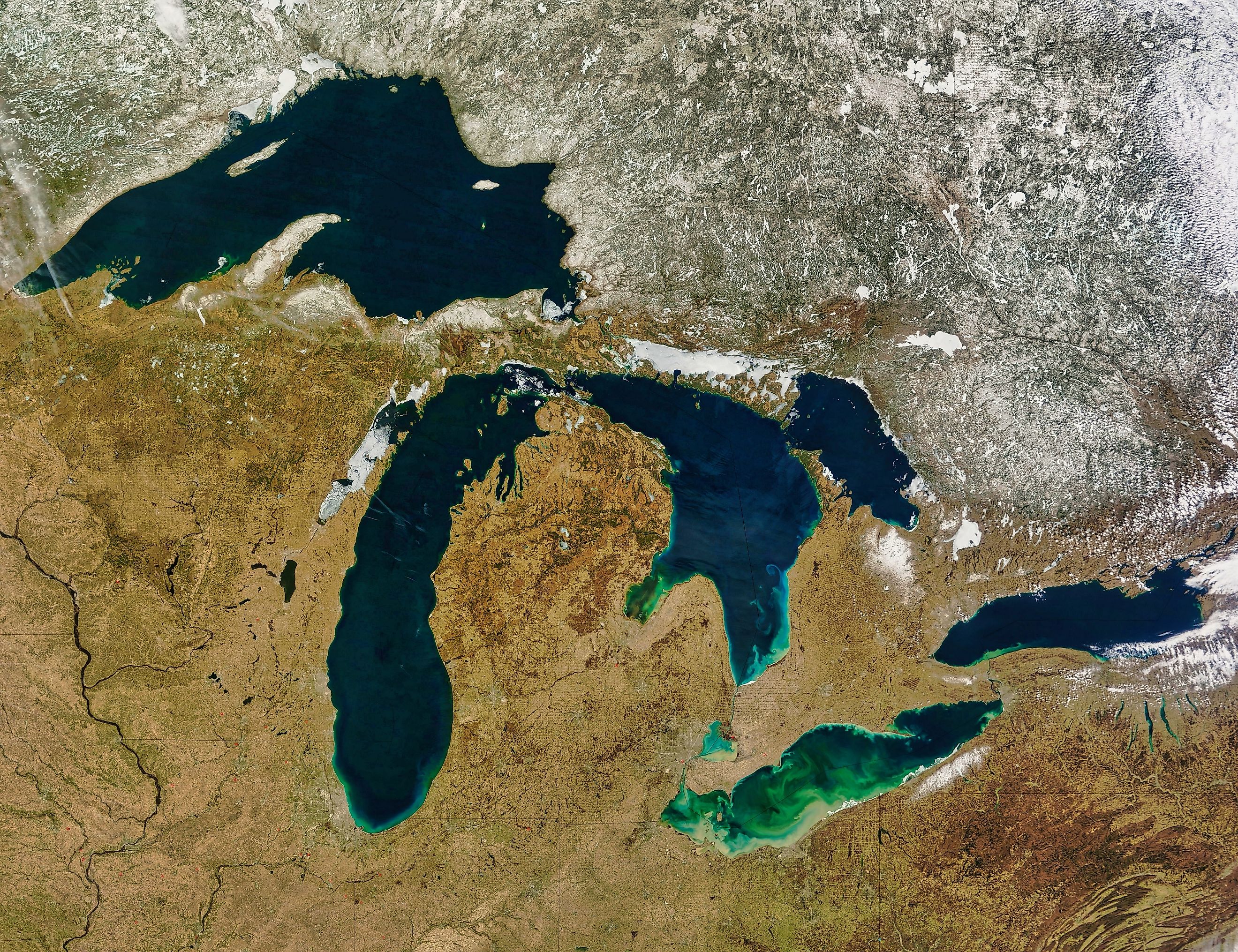
The farthest you can get from shore on the Great Lakes is about 45 miles, and it is not obvious which lake holds the record. Geography enthusiasts who have run the calculation put candidate points in both Lake Superior and Lake Huron at 44 to 45 miles from the nearest coastline, close enough that the title is contested. One proposed location sits at 48.00 degrees north and 87.19 degrees west, in Canadian waters of Lake Superior. Forty-five miles is also less than the drive from Chicago to Milwaukee.
The Term Is Pole Of Inaccessibility

Geographers have a name for this and it applies in both directions.
A pole of inaccessibility is the point in a landmass or body of water that is farthest from a given boundary. On land it means the spot deepest inside a continent, away from any ocean. On water it means the opposite, the point furthest from any shore.
Every enclosed body of water has one. The Great Lakes version just happens to be modest.
Forty-Five Miles Is Not Very Far
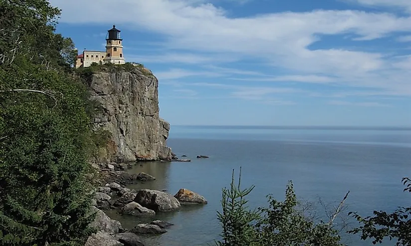
Setting the figure against the global equivalents puts it in perspective quickly.
Point Nemo, the oceanic pole of inaccessibility in the South Pacific, sits roughly 1,670 miles from the nearest land. The Antarctic pole is around 1,000 miles from the coast.
The Great Lakes manage 45. That is about 37 times closer to land than Point Nemo and roughly one and two-thirds marathons from the nearest beach.
Superior Should Win And Barely Does

The obvious assumption is that the largest lake holds the record, and the geometry says it should by a distance.
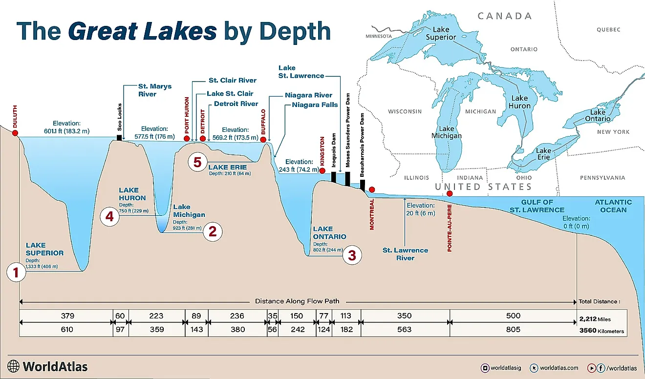
Lake Superior is 350 miles long and 160 miles wide at its widest, which puts a theoretical ceiling of 80 miles from shore at the exact midpoint of its broadest crossing.
It achieves about 45. Roughly 35 miles of that theoretical maximum are taken away by islands sitting in the wrong places.
Islands Ruin It

Superior's own geography works against it, because the lake is generously supplied with land in the middle.
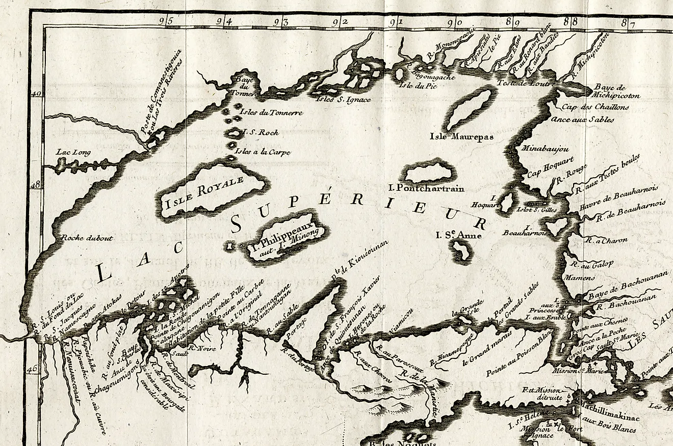
The lake has over 400 islands. Isle Royale alone covers 207 square miles, and Michipicoten, Caribou, Grand Island and the Slate Islands are scattered across the open water.
Every one of them counts as shore for this purpose. Superior is large enough to hold a 45-mile void and keeps interrupting itself.
Huron Competes By Being Emptier

That Huron is in the conversation at all is the genuinely surprising part.
Huron covers 59,600 square kilometers against Superior's 82,100, nearly 30 percent less water. It also contains Manitoulin, the largest lake island in the world.
But its main basin is a wide unobstructed sweep between Michigan's thumb and the Bruce Peninsula, with nothing in the middle. A smaller lake with fewer interruptions produces a comparable void.
Caribou Island Is The Loneliest Land
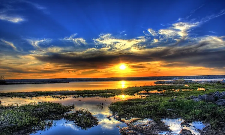
If the question is which piece of land is most isolated rather than which water, there is a clear answer.
Caribou Island sits in the eastern part of Lake Superior at 47 degrees 21 minutes north, roughly 30 miles from the nearest shoreline in Ontario's Superior Provincial Park. It is uninhabited.
Its history is unusually eventful for a rock in the middle of nowhere. Hunters stocked it with caribou in the late 1800s, and one winter in the 1920s the animals simply walked off across the frozen lake.
There Is A Mountain Out There

The emptiest water on the Great Lakes contains something nobody can see from a boat.
The Superior Shoal rises from a depth of over 1,000 feet to within 20 feet of the surface across a distance of just three miles. It is the largest underwater formation in the lake.
So the most isolated stretch of the Great Lakes has an undersea mountain in it that nearly breaks the surface and was not charted until 1929. A ship with 20 feet of clearance passes over an 80-story peak without noticing.
The Numbers Are Unofficial

This is worth stating plainly, because no agency maintains the figure.
The 44 to 45 mile estimate and the proposed coordinates come from geography enthusiasts running the calculation themselves rather than from a government survey. The Great Lakes have no official pole of inaccessibility.
The answer also moves with water levels, since a changing shoreline changes the measurement. Nobody has had sufficient reason to settle it.
You Still Lose Sight Of Land

Forty-five miles may be unimpressive globally, but it is well past the horizon.
For an observer standing a few feet above the water, the horizon sits roughly three miles away. Even from the bridge of a freighter it is under ten.
There are many places on the Great Lakes where land disappears completely. The pole of inaccessibility is simply the one where it disappears by the largest margin.
The Short Answer

The point on the Great Lakes farthest from land is about 44 to 45 miles out, with candidate locations in both Lake Superior and Lake Huron and one proposed coordinate at 48.00 north, 87.19 west. None of it is official.
Superior should win outright at 160 miles wide, and loses 35 miles of its theoretical maximum to its own 400 islands. The result is that the loneliest spot on the largest freshwater system on Earth is half as far from shore as Chicago is from Milwaukee, with an uncharted-until-1929 mountain underneath it.