How San Francisco Bay Compares To The Great Lakes
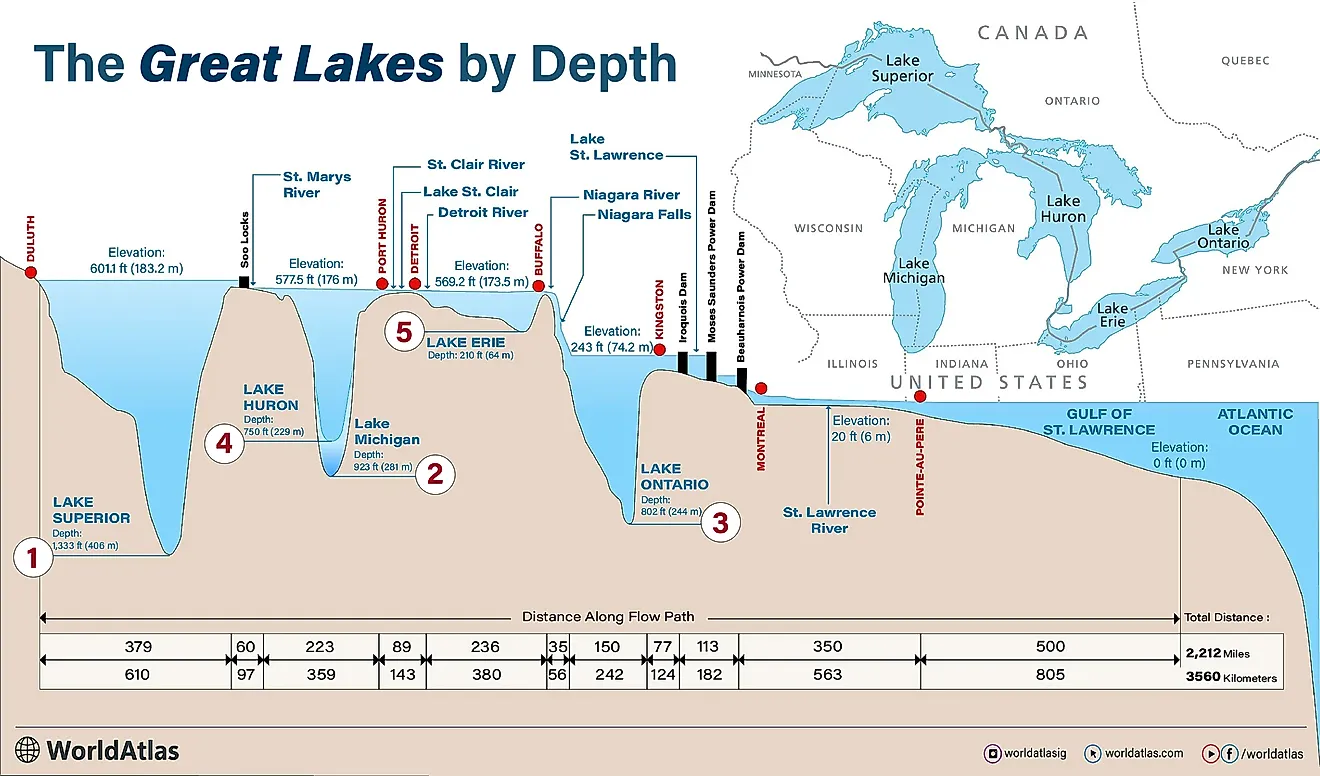
San Francisco Bay has exactly one win over the Great Lakes, and it is a hole gouged under a bridge by tides. The Golden Gate reaches 372 feet, which beats Lake Erie's maximum of 210. Everywhere else the comparison is brutal, because the bay averages 12 to 15 feet deep. Lake Erie, the lake this entire series treats as the shallow embarrassment of the family, averages 62. The Great Lakes' weakest member is four and a half times deeper on an ordinary day than the most famous estuary in America.
It Is Shallower Than A Swimming Pool

The headline figure is the one that undoes everything else.
The bay averages 12 to 15 feet, roughly four meters, which published descriptions compare directly to the depth of a residential swimming pool. Around 85 percent of its area is less than 30 feet deep.
Lake Superior averages 482 feet. The bay's average is about one thirty-fifth of that, in water that drains 40 percent of California.
Parts Of It Are Ankle Deep

The southern end abandons any pretense of being a body of water at all.
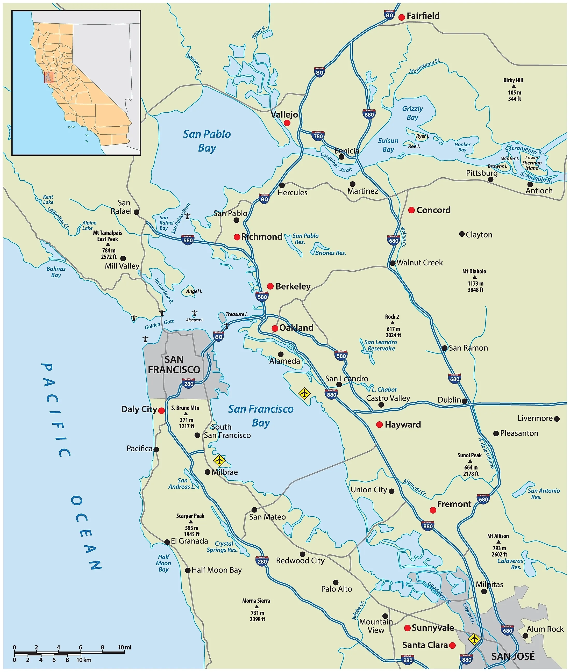
Between Hayward and San Mateo down to San Jose, the bay runs 12 to 36 inches deep. That is a foot to a yard, across miles of it.
A person could stand in the middle of San Francisco Bay with their knees dry. Attempting that in Lake Superior would involve 406 meters of water and a very brief experience.
On Area It Loses To Everything

Even using the most generous definition of the bay, it finishes last.
The bay covers somewhere between 400 and 1,600 square miles depending on which sub-bays and tidal flats you count. Take the largest figure, 4,100 square kilometers, and Ontario is still 4.6 times bigger, Erie 6.3, Huron 14.5, Michigan 14.1 and Superior 20.
Take the smaller figure and the ratios roughly quadruple. The bay is allowed to pick its own size and still cannot get close.
The One Deep Spot Is Manmade By Accident

The 372-foot maximum is real and it exists for a specific mechanical reason.
Enormous volumes of tidal water are forced through a gap one mile wide at the Golden Gate, reaching six knots at maximum flow. Those currents scour the seafloor continuously and maintain the depth.
So the bay's single victory over a Great Lake is a trench kept open by water trying to leave. It is less a feature of the bay than evidence of how hard the Pacific pulls on it.
Erie Wins On The Measure That Counts

Comparing maximums flatters the bay. Comparing averages does not.
Erie's mean depth of 19 meters works out at about 62 feet. That is deeper than 85 percent of San Francisco Bay at any point, not on average.
A typical spot on Lake Erie has twice as much water under it as the deepest part of the bay's entire southern reach. Erie spends this series losing to everything and comfortably beats this.
A Third Of It Has Been Filled In

The bay is not only small. It used to be considerably larger.
From the mid-nineteenth century through the late twentieth, more than a third of the original bay was filled and built on. Around 85 percent of its original tidal marshes have been filled or developed.
No Great Lake has lost a third of itself to construction. Chicago reclaimed a shoreline; San Francisco reclaimed an estuary.
Gold Mining Made It Shallower

Some of the shallowness is not natural either, which is a detail worth knowing.
In the 1850s hydraulic mining washed enormous quantities of sediment down the rivers into the bay, settling in the shallower areas and reducing their depth. Before that, the bay was deep enough for ships to sail as far south as San Jose.
The bay was once navigable to a city that now sits at the end of water measured in inches. The Gold Rush filled in the difference.
It Is Salt Water Anyway

As with every saltwater contender in this series, the category question disposes of the rest.
San Francisco Bay is a tidal estuary where the Sacramento and San Joaquin mix with the Pacific. The Great Lakes hold roughly a fifth of the world's surface fresh water.
One of these supplies drinking water to 40 million people. The other is brackish, tidal and occasionally a foot deep.
It Does Have Better Scenery

One category remains and the bay takes it without argument.
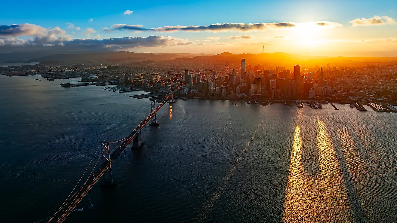
The Great Lakes have Chicago, Toronto, Detroit and Cleveland on their shores, which is a serious list. San Francisco Bay has the Golden Gate Bridge, Alcatraz, Sausalito and a city built on hills around it.
Nobody has ever flown into Cleveland and gasped. The bay wins on arrival and loses on everything measurable afterwards.
The Scoreboard

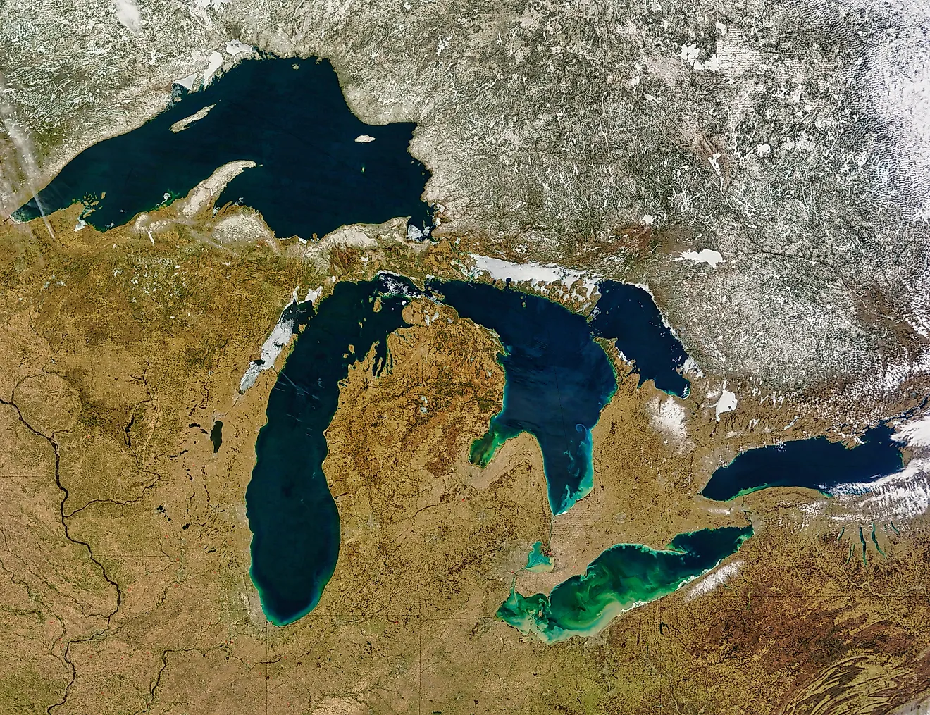
San Francisco Bay loses to all five Great Lakes on surface area even at its most generous measurement, loses to all five on average depth by factors of 4.5 to 35, and beats exactly one of them on maximum depth, thanks to a tidal trench under a suspension bridge.
It averages 12 to 15 feet. Parts of it are a foot. A third of it has been filled in and built on, some of the rest was silted up by gold miners, and all of it is salt water. The Great Lakes are a freshwater system holding a fifth of the planet's supply. The bay is a very beautiful puddle with excellent bridges.